Bearfoot Wood
Wood, Forest in Gloucestershire Forest of Dean
England
Bearfoot Wood
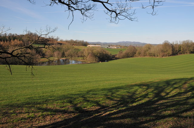
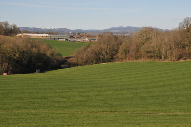
Bearfoot Wood is a picturesque woodland located in Gloucestershire, England. Spread over an area of approximately 100 acres, it is nestled in the heart of the countryside, offering a tranquil and serene escape for nature lovers and outdoor enthusiasts.
The wood is primarily composed of broadleaf trees, including oak, beech, and ash, creating a dense canopy that provides shade and shelter for a variety of wildlife. The forest floor is carpeted with a lush carpet of bluebells in the spring, adding to the area's natural beauty.
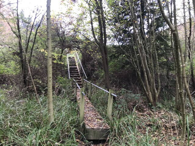
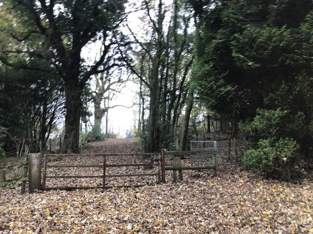
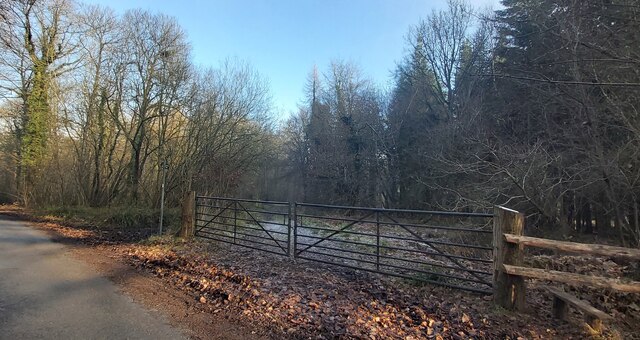
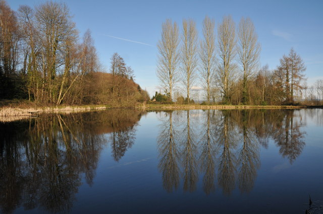
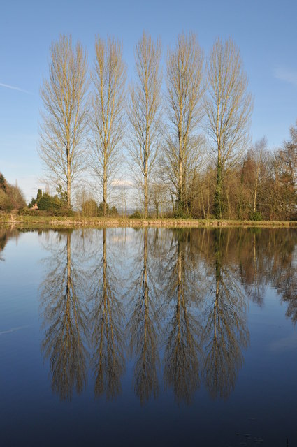
Bearfoot Wood is crisscrossed by a network of well-maintained footpaths and trails, allowing visitors to explore the wood at their own pace. These paths wind through the ancient woodland, revealing hidden glades, babbling brooks, and peaceful ponds along the way. The diverse habitat supports a wide range of flora and fauna, with sightings of deer, badgers, and a variety of bird species being common.
For those interested in history, the wood has a rich past. It was once part of a larger estate and has remnants of old stone walls and abandoned farm buildings. The wood has also been managed sustainably for centuries, with traditional woodland management techniques such as coppicing and pollarding still being practiced, contributing to the preservation of the woodland ecosystem.
Bearfoot Wood is an idyllic destination for nature enthusiasts, offering a peaceful retreat where visitors can immerse themselves in the beauty of nature and experience the tranquility of the Gloucestershire countryside.
If you have any feedback on the listing, please let us know in the comments section below.
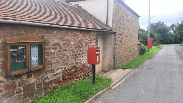
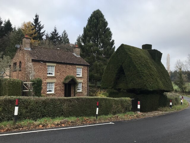
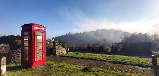
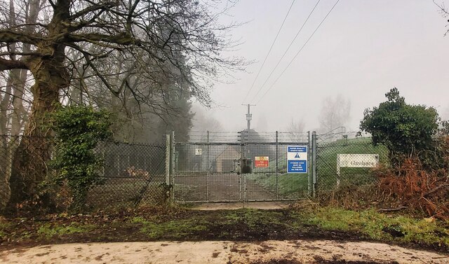
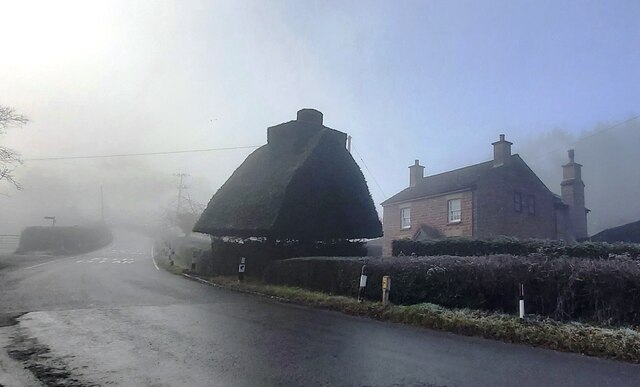
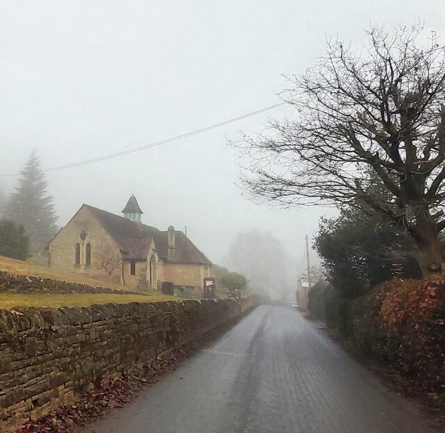
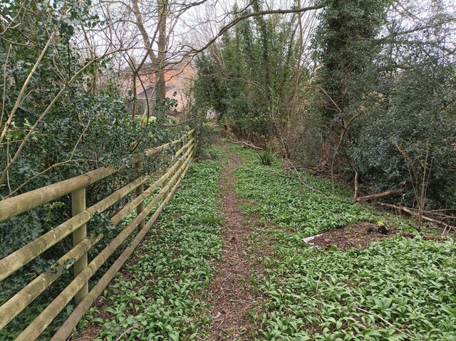
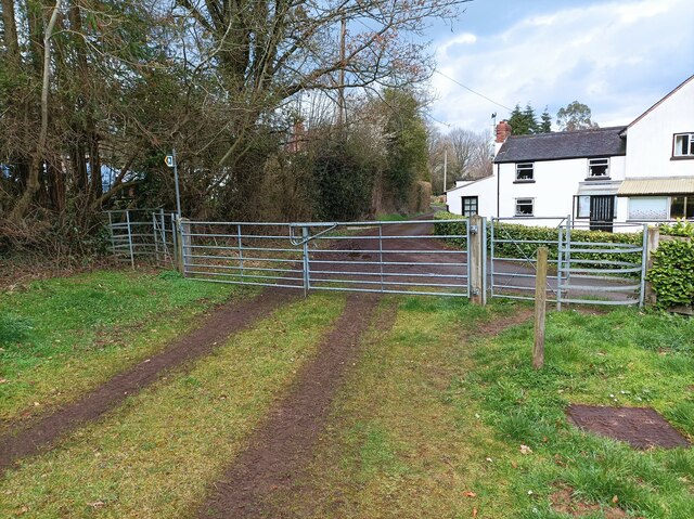
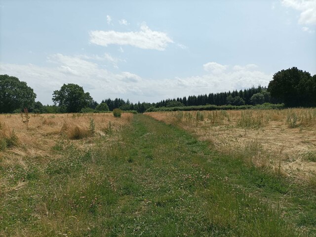
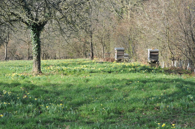
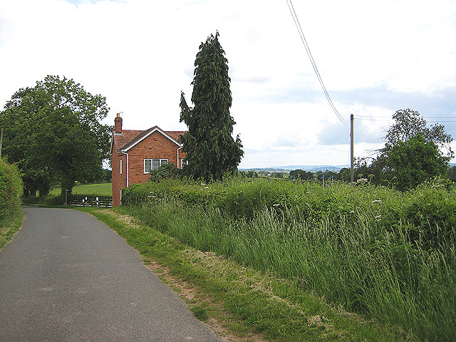
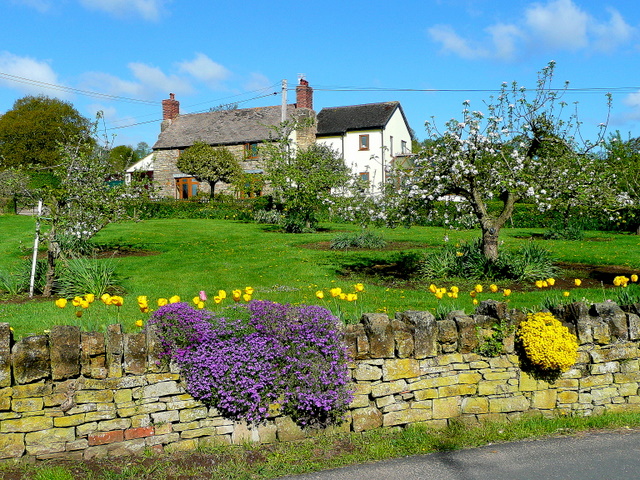
Bearfoot Wood Images
Images are sourced within 2km of 51.890696/-2.440657 or Grid Reference SO6921. Thanks to Geograph Open Source API. All images are credited.

Bearfoot Wood is located at Grid Ref: SO6921 (Lat: 51.890696, Lng: -2.440657)
Administrative County: Gloucestershire
District: Forest of Dean
Police Authority: Gloucestershire
What 3 Words
///blushes.seabirds.parsnip. Near Longhope, Gloucestershire
Nearby Locations
Related Wikis

May Hill
May Hill is a prominent English hill between Gloucester and Ross-on-Wye. Its summit, on the western edge of Gloucestershire and its northern slopes in...

Cliffords Mesne
Cliffords Mesne is an English village in Gloucestershire, two miles (3.2 km) south-west of the town of Newent. It became the home of the autobiographical...

Luxley
Luxley is a village in the southwest Midlands of England, on the border between Gloucestershire and Herefordshire near May Hill. Luxley is 12 km (7.5 mi...
Anthony's Cross
Anthony's Cross is a hamlet in Gloucestershire, England. == External links == Media related to Anthony's Cross at Wikimedia Commons

Hobbs Quarry SSSI, Longhope
Hobbs Quarry, Longhope (grid reference SO695195) is a 1-hectare (2.5-acre) geological and biological Site of Special Scientific Interest in Gloucestershire...
Boulsdon
Boulsdon is a village in Gloucestershire, England. It is the location of the International Centre for Birds of Prey.A low mound in the village may have...

Longhope railway station
Longhope railway station is a disused stone-built railway station that served the village of Longhope in Gloucestershire, England. Opened in 1855 with...

Longhope
Longhope is a village in west Gloucestershire, situated within the Forest of Dean, England, United Kingdom. Arthur Bullock, who was born in Longhope in...
Nearby Amenities
Located within 500m of 51.890696,-2.440657Have you been to Bearfoot Wood?
Leave your review of Bearfoot Wood below (or comments, questions and feedback).