Isleham
Settlement in Cambridgeshire East Cambridgeshire
England
Isleham
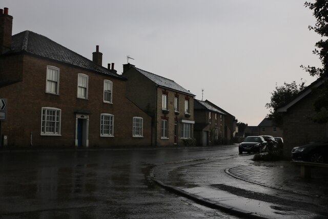
Isleham is a charming village located in the county of Cambridgeshire, England. Situated on the banks of the River Lark, it is approximately 10 miles northeast of the city of Cambridge. With a population of around 2,400 residents, Isleham is a close-knit community that offers a peaceful and picturesque setting.
The village is steeped in history, dating back to the Anglo-Saxon period. It features a stunning 14th-century church, St. Andrew's, which is known for its magnificent medieval paintings and intricate stained glass windows. The village also boasts a number of other historic buildings, including the 15th-century Moat House and several thatched cottages.
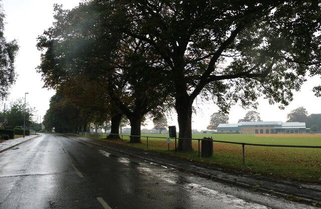
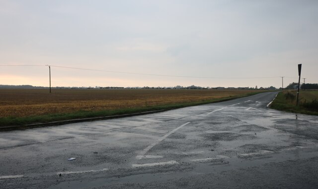
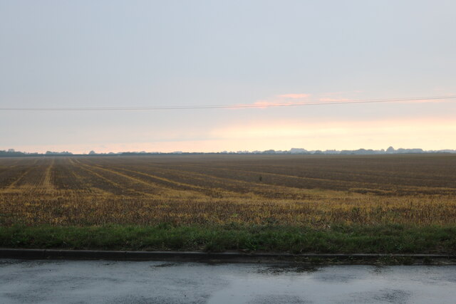
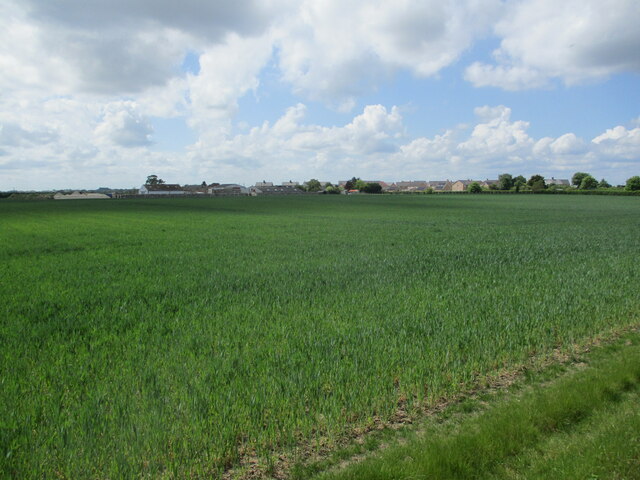
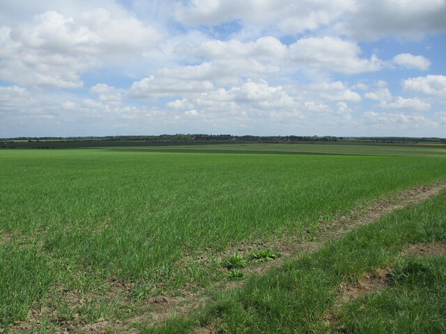
Nature lovers will be delighted by the scenic surroundings of Isleham. The village is surrounded by lush meadows, farmland, and the River Lark, making it an ideal spot for leisurely walks or bike rides. The nearby Isleham Nature Reserve provides ample opportunities for birdwatching and enjoying the local flora and fauna.
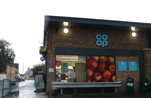
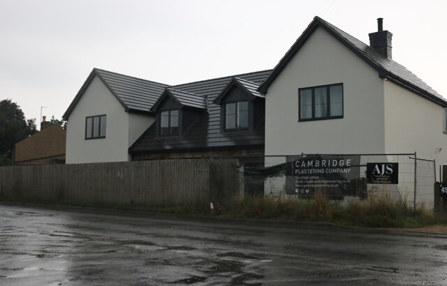
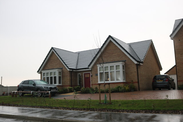
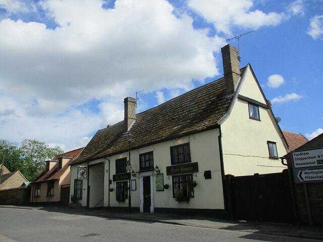
Isleham offers a range of amenities to its residents and visitors. There is a primary school, a post office, a village shop, and a pub, providing the essentials for daily life. The village also hosts various community events throughout the year, including a summer fete and a Christmas market.
With its rich history, stunning natural beauty, and friendly community spirit, Isleham is a delightful place to visit or call home. Whether exploring its historic sites, enjoying the tranquility of its surroundings, or immersing oneself in the local culture, Isleham offers something for everyone.
If you have any feedback on the listing, please let us know in the comments section below.
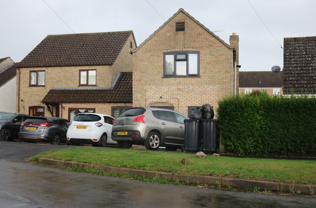
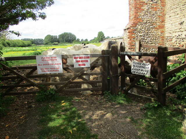
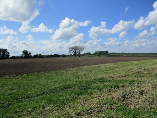
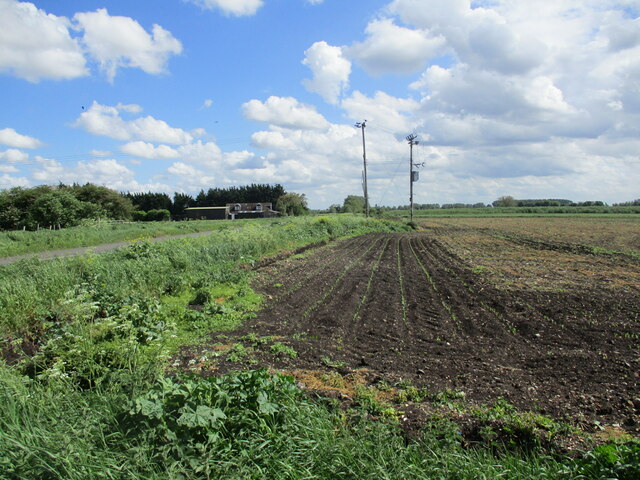
Isleham Images
Images are sourced within 2km of 52.342869/0.412058 or Grid Reference TL6474. Thanks to Geograph Open Source API. All images are credited.


Isleham is located at Grid Ref: TL6474 (Lat: 52.342869, Lng: 0.412058)
Administrative County: Cambridgeshire
District: East Cambridgeshire
Police Authority: Cambridgeshire
What 3 Words
///untruth.secure.coverings. Near Isleham, Cambridgeshire
Nearby Locations
Related Wikis

Isleham Hoard
The Isleham Hoard is a hoard of more than 6,500 pieces of worked and unworked bronze, dating from the Bronze Age, found in 1959 by William 'Bill' Houghton...

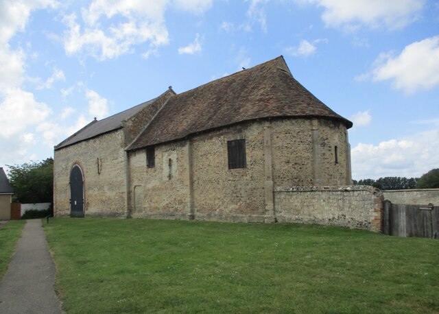
Isleham Priory Church
Isleham Priory Church, located in Isleham, Cambridgeshire, England, is a Benedictine alien priory built around 1100 AD. It is an important example of an...

Isleham railway station
Isleham railway station is a disused railway station on the Cambridge to Mildenhall railway in England. The station was on the outskirts of the village...

Isleham
Isleham is a village and civil parish in the English county of Cambridgeshire. It is part of the Fens. It has three pubs. == Geography == Isleham is located...
Nearby Amenities
Located within 500m of 52.342869,0.412058Have you been to Isleham?
Leave your review of Isleham below (or comments, questions and feedback).