Islesteps
Settlement in Kirkcudbrightshire
Scotland
Islesteps
Islesteps is a charming village located in the historical county of Kirkcudbrightshire in southwest Scotland. Situated on the eastern bank of the River Nith, Islesteps offers picturesque views of the surrounding countryside and the distant hills.
The village is known for its tranquil and idyllic atmosphere, making it a popular destination for those seeking a peaceful retreat. Its close proximity to the river also makes it an attractive spot for anglers who enjoy fishing for salmon and trout.
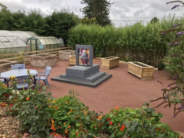
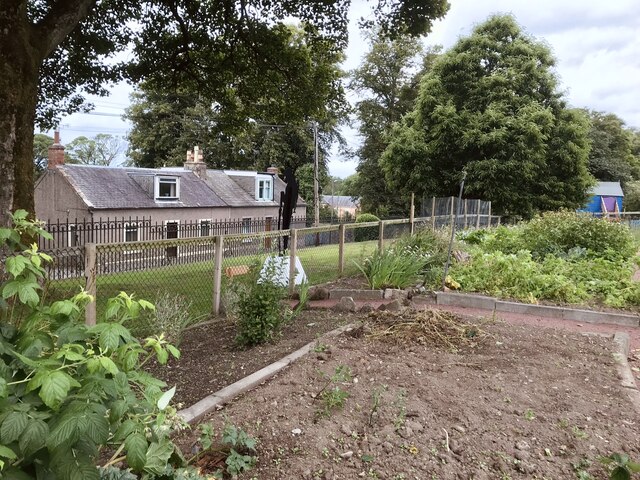
Islesteps is home to a small but tight-knit community, with a population of around 300 residents. The village itself is characterized by its traditional stone cottages and well-maintained gardens, giving it a quintessential Scottish charm.
Local amenities in Islesteps are limited, with a small convenience store and a traditional pub serving as the main gathering places for locals and visitors alike. However, the village benefits from its close proximity to the larger town of Dumfries, which offers a wider range of amenities and services.
Nature enthusiasts will find plenty to explore in the surrounding area, with numerous walking trails and nature reserves nearby. The nearby Caerlaverock Castle, a historic fortress dating back to the 13th century, is also a popular attraction for visitors.
Overall, Islesteps offers a tranquil and scenic setting, making it an ideal destination for those seeking a peaceful retreat or a taste of rural Scottish life.
If you have any feedback on the listing, please let us know in the comments section below.
Islesteps Images
Images are sourced within 2km of 55.039479/-3.620819 or Grid Reference NX9672. Thanks to Geograph Open Source API. All images are credited.


Islesteps is located at Grid Ref: NX9672 (Lat: 55.039479, Lng: -3.620819)
Unitary Authority: Dumfries and Galloway
Police Authority: Dumfries and Galloway
What 3 Words
///wolves.modifies.seeing. Near Dumfries, Dumfries & Galloway
Nearby Locations
Related Wikis
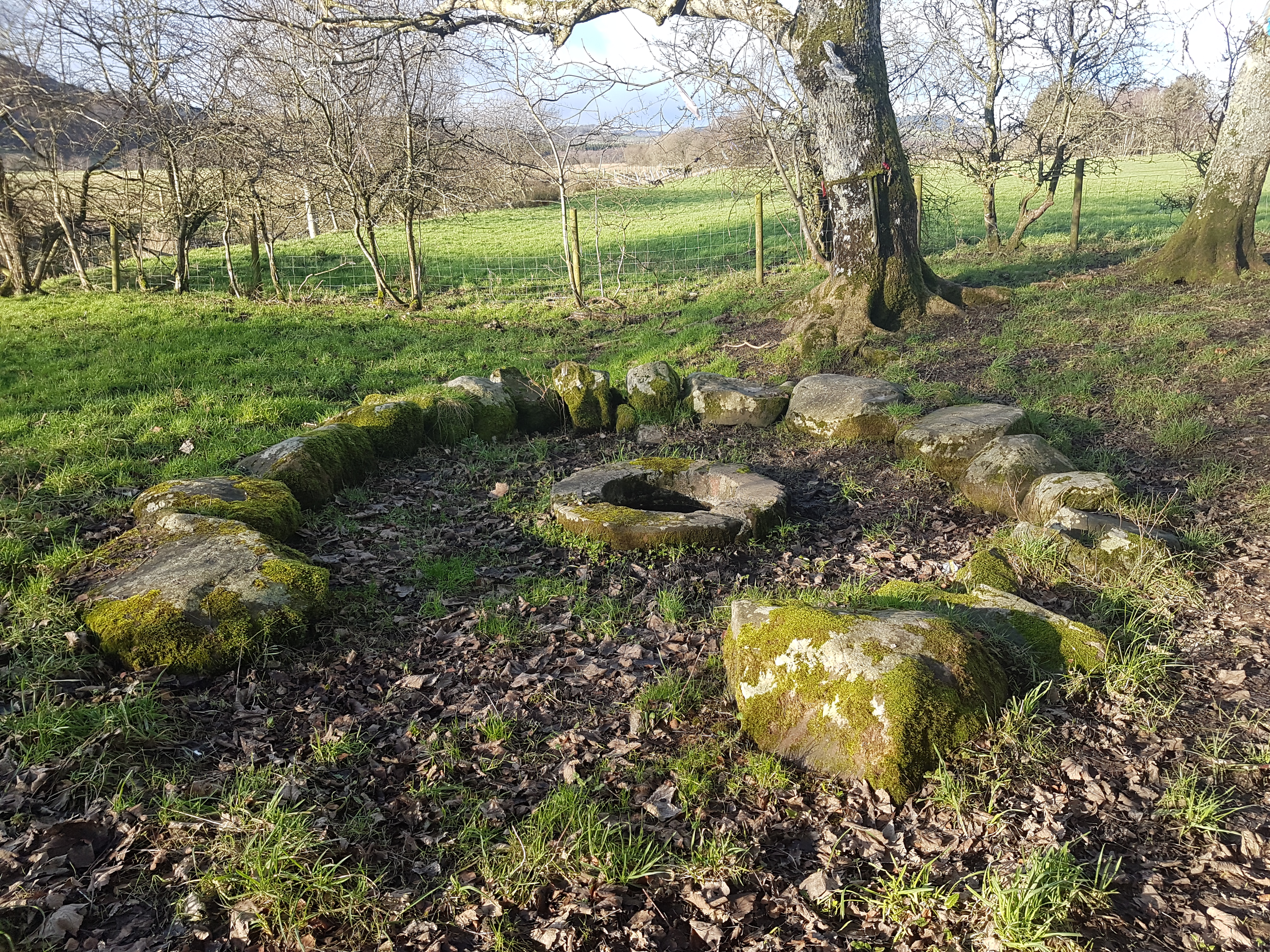
St Queran's Well
St Queran's Well is a holy well in Dumfries and Galloway, located in the parish of Troqueer in the historic county of Kirkcudbrightshire. A spring feeds...

Pict's Knowe
Pict's Knowe (grid reference NX 9538 7213) is a henge monument in the parish of Troqueer, Dumfries and Galloway. It is one of a small group of henge monuments...
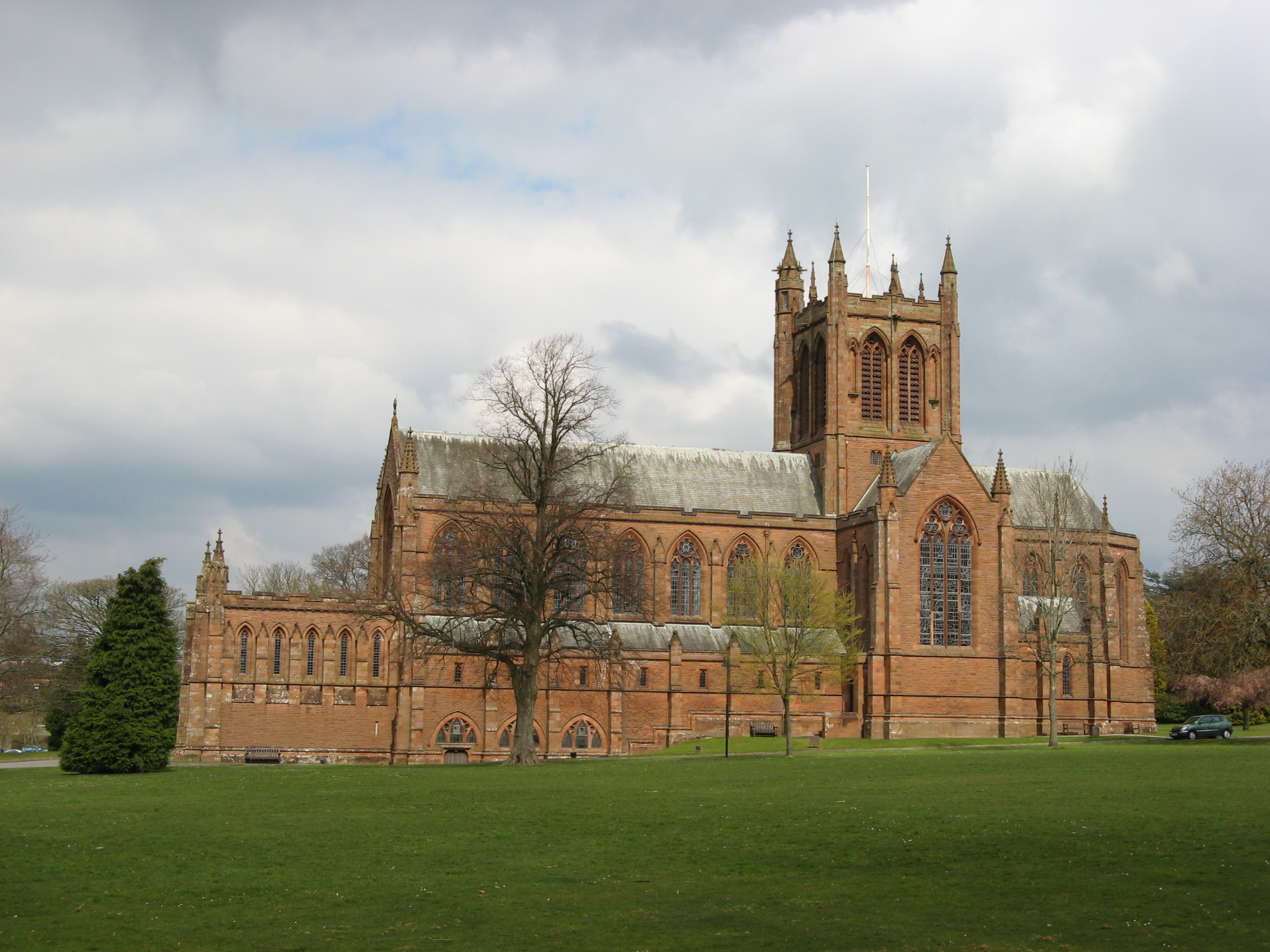
The Crichton
The Crichton is an institutional campus in Dumfries in southwest Scotland. It serves as a remote campus for the University of Glasgow, the University of...
Dumfries Castle
Dumfries Castle was a royal castle that was located in Dumfries, Scotland. It was sited by the River Nith, in the area now known as Castledykes Park.A...
Mabie, Dumfries and Galloway
Mabie is a collection of mountain biking routes located in Dumfries and Galloway, southwest Scotland. The mountain bike routes are part of the 7Stanes...
Cargenbridge
Cargenbridge is a village located in Dumfries and Galloway, United Kingdom southwest of Dumfries. It is in Troqueer parish, in the historic county of Kirkcudbrightshire...

Troqueer
Troqueer is a former village and a parish in the historic county of Kirkcudbrightshire in Dumfries and Galloway on the west side of the River Nith. The...
Curriestanes cursus
Curriestanes cursus (grid reference NX 95990 75170) is a large neolithic ditched enclosure on the outskirts of Dumfries, in the parish of Troqueer, Dumfries...
Nearby Amenities
Located within 500m of 55.039479,-3.620819Have you been to Islesteps?
Leave your review of Islesteps below (or comments, questions and feedback).