Breakheart Hill
Hill, Mountain in Gloucestershire Forest of Dean
England
Breakheart Hill
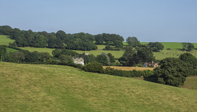
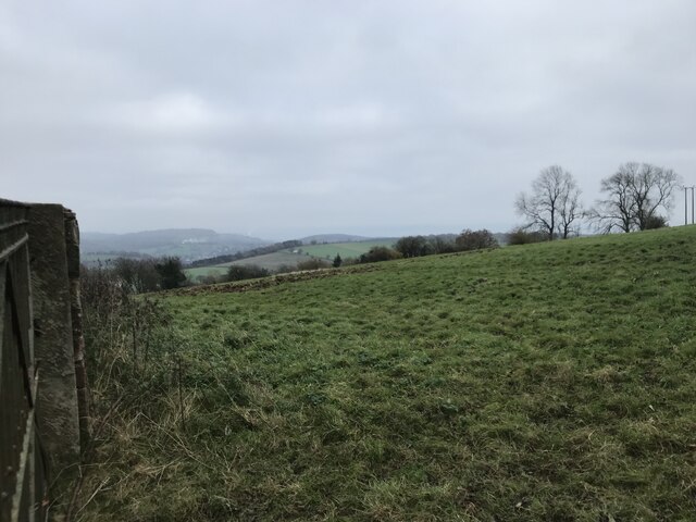
Breakheart Hill is a prominent natural landmark located in the picturesque county of Gloucestershire, England. Situated in the Cotswold Hills, this hill offers breathtaking views and a tranquil environment for nature enthusiasts and hikers alike.
Rising to an elevation of approximately 287 meters (942 feet), Breakheart Hill stands tall amidst the rolling countryside. Its name is derived from the steep slopes and rugged terrain that make it a challenging but rewarding destination for outdoor activities. The hill is primarily composed of limestone, which gives it a unique geological character and supports a diverse range of flora and fauna.
The summit of Breakheart Hill offers commanding panoramic views of the surrounding landscape, including the lush green fields, meandering rivers, and quaint villages that dot the region. On clear days, it is even possible to catch a glimpse of the distant Malvern Hills and the Brecon Beacons National Park.
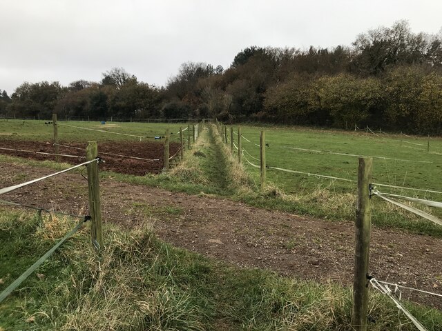
The hill is crisscrossed by a network of well-maintained footpaths and trails, making it an ideal spot for walkers and hikers of all levels of experience. The routes cater to different preferences, with options for leisurely strolls or more challenging hikes. Along the way, visitors may encounter an array of wildlife, such as deer, rabbits, and a variety of bird species.
Breakheart Hill is not only a natural haven but also an important historical site. It is believed to have been used as a defensive position during ancient times due to its strategic location. Today, it serves as a popular destination for outdoor enthusiasts and those seeking a peaceful retreat amidst the stunning Gloucestershire countryside.
If you have any feedback on the listing, please let us know in the comments section below.
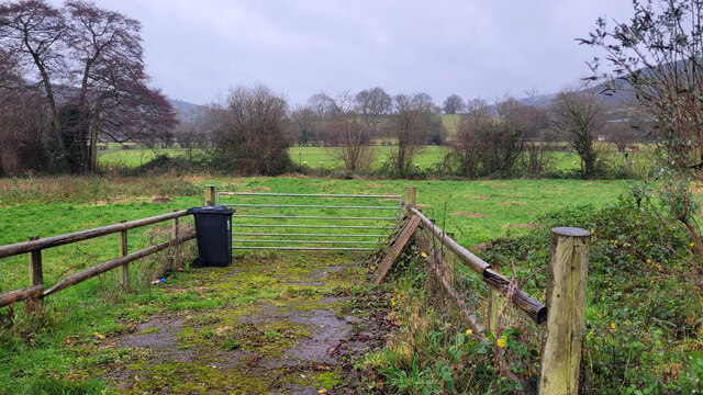
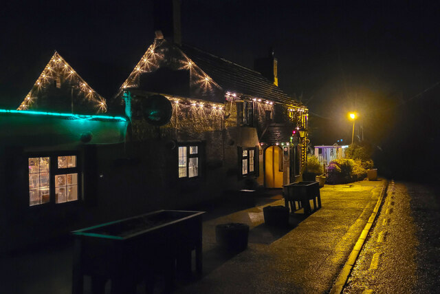
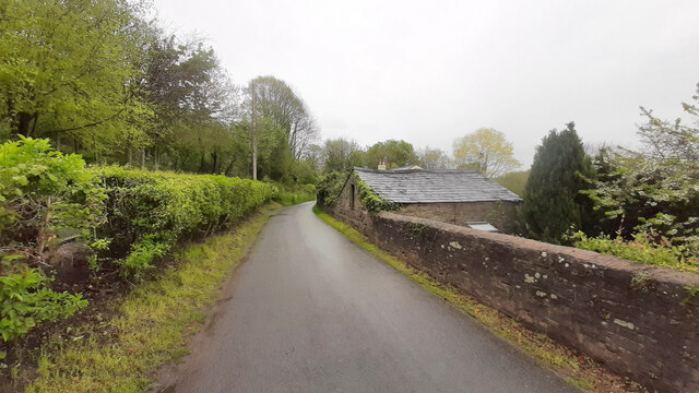
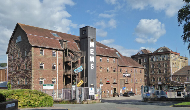
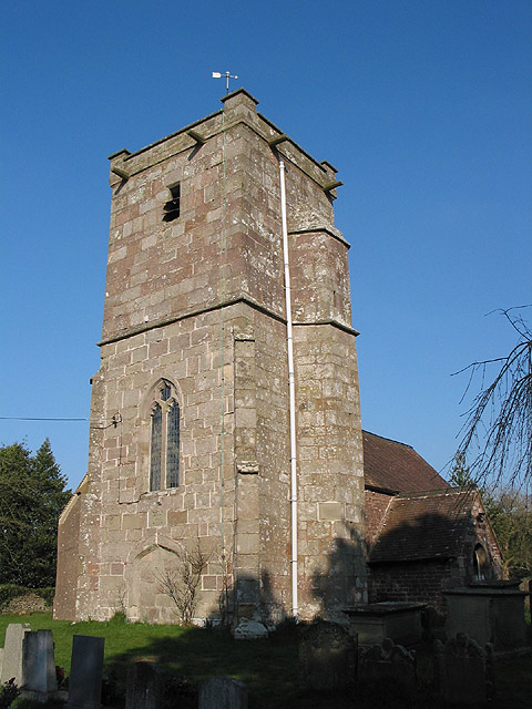
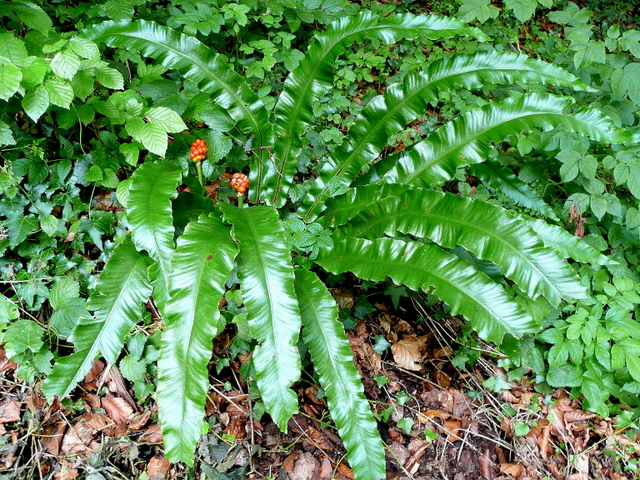
Breakheart Hill Images
Images are sourced within 2km of 51.870231/-2.4780166 or Grid Reference SO6719. Thanks to Geograph Open Source API. All images are credited.


Breakheart Hill is located at Grid Ref: SO6719 (Lat: 51.870231, Lng: -2.4780166)
Administrative County: Gloucestershire
District: Forest of Dean
Police Authority: Gloucestershire
What 3 Words
///unstable.shimmered.partner. Near Mitcheldean, Gloucestershire
Nearby Locations
Related Wikis

Boxbush
Boxbush is a village in Gloucestershire, England. == References ==

Land Grove Quarry, Mitcheldean
Land Grove Quarry, Mitcheldean (grid reference SO672185) is a 3.8-hectare (9.4-acre) geological Site of Special Scientific Interest in Gloucestershire...

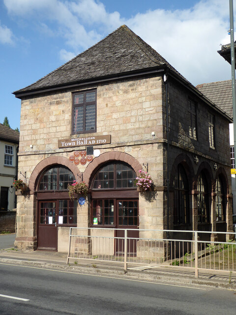
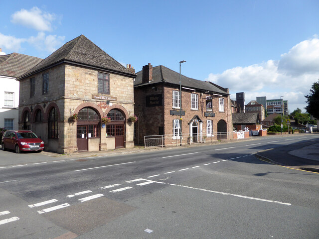
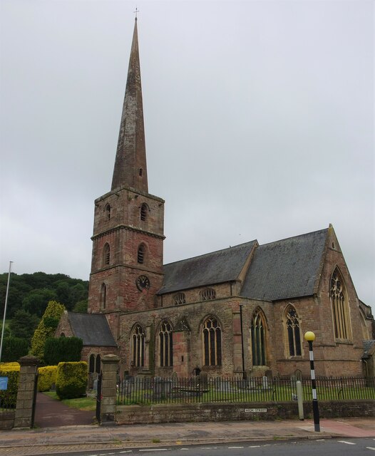
Mitcheldean Town Hall
Mitcheldean Town Hall is a municipal building in the High Street in Mitcheldean, Gloucestershire, England. The structure, which operates as the offices...

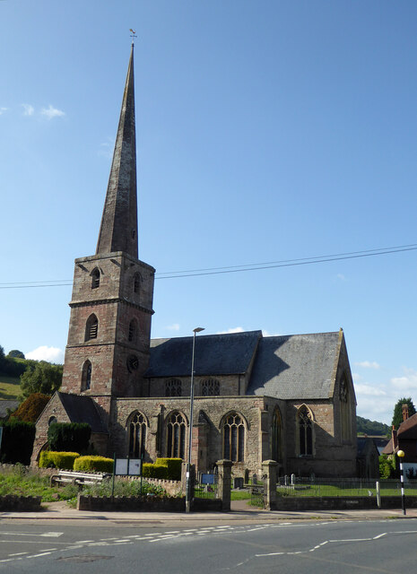
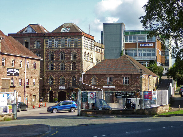
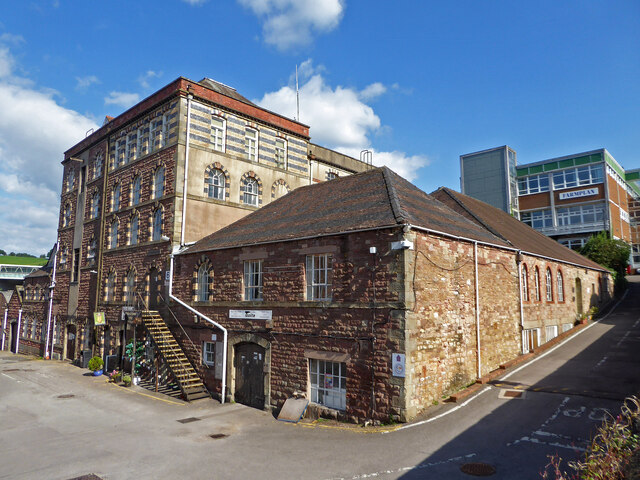
Mitcheldean
Mitcheldean is a market town in the Forest of Dean in Gloucestershire, England. == History == Mitcheldean was a thriving community for many centuries due...
Abenhall
Abenhall is a small village and former civil parish, now in the parish of Mitcheldean, in the Forest of Dean district, in the county of Gloucestershire...
Dene Magna School
Dene Magna School is a secondary school in Mitcheldean, Gloucestershire, England. The school takes both girls and boys, and has 1005 pupils aged between...
Stenders Quarry
Stenders Quarry (grid reference SO659183) is a 2.8-hectare (6.9-acre) biological and geological Site of Special Scientific Interest in the Forest of Dean...
Scully Grove Quarry
Scully Grove Quarry (grid reference SO657186) is a 0.4-hectare (0.99-acre) geological Site of Special Scientific Interest in Gloucestershire, England,...
Nearby Amenities
Located within 500m of 51.870231,-2.4780166Have you been to Breakheart Hill?
Leave your review of Breakheart Hill below (or comments, questions and feedback).