Cleek Hillock

Hill, Mountain in Kincardineshire

Scotland

Cleek Hillock

Track on Strathfinella Hill Forest track heading westwards down from the summit of Strathfinella Hill.
Track on Strathfinella Hill Credit: Scott Cormie

Cleek Hillock is a prominent hill located in the region of Kincardineshire, Scotland. It is situated approximately 10 miles south of the town of Stonehaven and stands at an elevation of 127 meters (417 feet) above sea level.

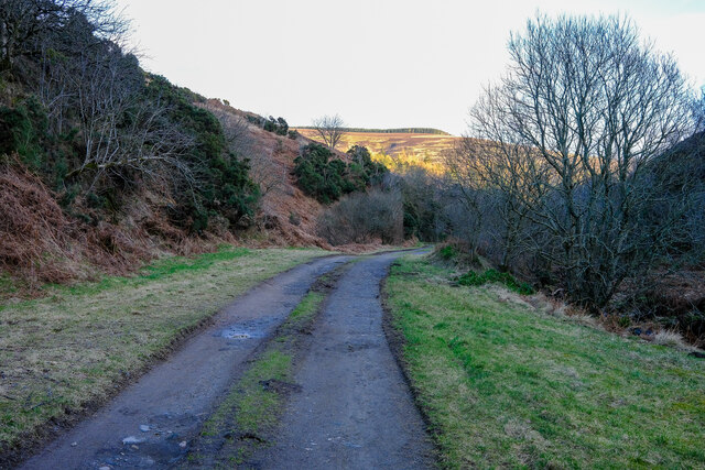
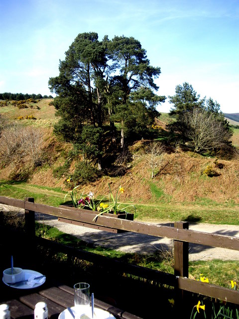
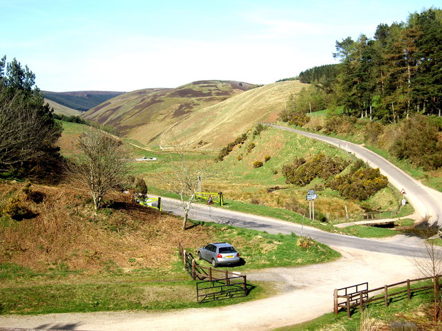
The hill is characterized by its distinctive conical shape, offering a picturesque view of the surrounding countryside. It is a popular destination for outdoor enthusiasts, hikers, and nature lovers who seek to explore the natural beauty of the area.

Cleek Hillock is known for its diverse flora and fauna, with heather-covered slopes and patches of woodland adorning its lower reaches. The hill provides a habitat for various bird species, including buzzards, kestrels, and pheasants, making it an attractive spot for birdwatching.

The hill is easily accessible by foot, with well-maintained trails leading up to its summit. From the top, visitors are rewarded with panoramic vistas of the surrounding landscape, including the North Sea coastline and the Mearns countryside. On clear days, it is even possible to catch a glimpse of the nearby Dunnottar Castle, perched dramatically on a cliff overlooking the sea.

Cleek Hillock is steeped in history, with evidence of ancient settlements and burial sites found in the vicinity. It is said to have been used as a lookout point during various conflicts throughout the centuries. Today, it remains a cherished natural landmark, offering both recreational opportunities and a glimpse into the region's rich past.

If you have any feedback on the listing, please let us know in the comments section below.

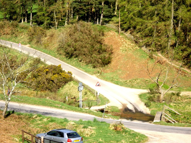
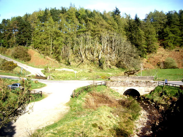
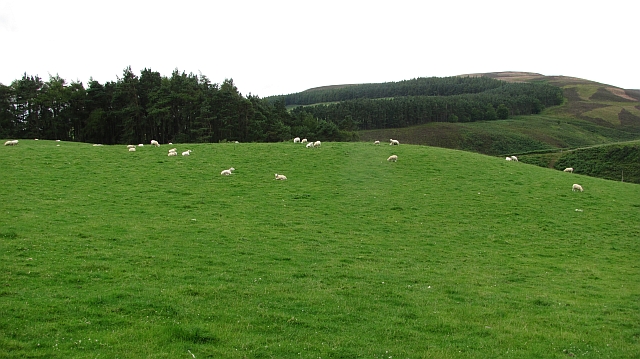
Cleek Hillock Images

Images are sourced within 2km of 56.903332/-2.5404141 or Grid Reference NO6779. Thanks to Geograph Open Source API. All images are credited.

Track on Strathfinella Hill Forest track heading westwards down from the summit of Strathfinella Hill.
Track on Strathfinella Hill
Forest track heading westwards down from the summit of Strathfinella Hill.
Heather moorland on Strathfinella Hill Looking westwards across heather moorland on the south-western flank of Strathfinella Hill.
Heather moorland on Strathfinella Hill
Looking westwards across heather moorland on the south-western flank of Strathfinella Hill.
Coming down Strathfinella Hill Track heading south-west down Strathfinella Hill, with the Howe of the Mearns beyond.
Coming down Strathfinella Hill
Track heading south-west down Strathfinella Hill, with the Howe of the Mearns beyond.
Road to the Catterin' Bridge A nice walking path up the side of the burn
Road to the Catterin' Bridge
A nice walking path up the side of the burn
Access point to the forest
Field access
Field access
The Slack burn with Slack Hillock on the left
Deer pens and ruined buildings
A track on hill of Annahar Enclosed deer parkland
A track on hill of Annahar
Enclosed deer parkland
Pine trees By the Clatterin' Brig restaurant
Pine trees
By the Clatterin' Brig restaurant
Snow gates on Cairn O'Mount road Seen from the Clatterin' Brig restaurant.
Snow gates on Cairn O'Mount road
Seen from the Clatterin' Brig restaurant.
Bridge over the Slack Burn Carrying the Old Military Road between Fettercairn and Feughside over the Cairn O'Mount.
Bridge over the Slack Burn
Carrying the Old Military Road between Fettercairn and Feughside over the Cairn O'Mount.
Triple crossing of the Slack Burn The vehicle ford is flanked left by an elevated cycle track, and right by a footbridge.
Triple crossing of the Slack Burn
The vehicle ford is flanked left by an elevated cycle track, and right by a footbridge.
A 'major' road junction in the hills Access to Glensaugh from the old military road at Clatterin' Brig.
A 'major' road junction in the hills
Access to Glensaugh from the old military road at Clatterin' Brig.
Slack Den from Goyle Hill
Sheep, Glensaugh Grassland above Clattrin Brig.
Sheep, Glensaugh
Grassland above Clattrin Brig.
Behind Strathfinella Hill Two bulls graze above the Glen Burn. The view of Strathfinella Hill is atypical, most of the hill is covered in conifers.
Behind Strathfinella Hill
Two bulls graze above the Glen Burn. The view of Strathfinella Hill is atypical, most of the hill is covered in conifers.
Loch Saugh The loch has been formed by damming the Glen Burn.
Loch Saugh
The loch has been formed by damming the Glen Burn.
Show me another place!

Cleek Hillock is located at Grid Ref: NO6779 (Lat: 56.903332, Lng: -2.5404141)

Unitary Authority: Aberdeenshire

Police Authority: North East

What 3 Words

///stir.mermaids.credited. Near Laurencekirk, Aberdeenshire

Related Wikis

Cairn O' Mounth

Cairn O' Mounth/Cairn O' Mount (Scottish Gaelic: Càrn Mhon) is a high mountain pass in Aberdeenshire, Scotland. The place name is a survival of the ancient...

Kincardineshire

Kincardineshire, also known as the Mearns (from the Scottish Gaelic A' Mhaoirne meaning "the Stewartry"), is a historic county, registration county and...

Drumtochty Castle

Drumtochty Castle is a neo-gothic style castellated mansion erected in 1812 approximately three kilometres north-west of Auchenblae, Kincardineshire, Scotland...

Drumtochty Forest

Drumtochty Forest is a coniferous woodland in Kincardineshire, Scotland. In earlier times this forest was associated with Drumtochty Castle. Other notable...

Nearby Amenities

Located within 500m of 56.903332,-2.5404141
Ford: yes
Lat/Long: 56.9028958/-2.5446403
The data included in this document is from www.openstreetmap.org. The data is made available under ODbL.

Have you been to Cleek Hillock?

Leave your review of Cleek Hillock below (or comments, questions and feedback).