Cleek Loch
Lake, Pool, Pond, Freshwater Marsh in Kincardineshire
Scotland
Cleek Loch

Cleek Loch is a small freshwater loch located in the county of Kincardineshire, Scotland. Situated near the village of Cleek, it covers an area of approximately 10 acres and is surrounded by picturesque countryside. The loch is well-known for its tranquil setting and diverse ecosystem, attracting nature enthusiasts and birdwatchers alike.
The water quality of Cleek Loch is excellent, making it an ideal habitat for various aquatic species. The loch is home to a variety of fish, including brown trout, pike, and perch, providing ample opportunities for fishing enthusiasts. Anglers can often be seen casting their lines from the banks, hoping for a catch.
The surrounding vegetation around Cleek Loch is predominantly made up of reeds, rushes, and water lilies, creating a lush and vibrant freshwater marsh. These wetland plants not only provide shelter for many species of birds but also act as natural water filters, contributing to the loch's clarity.
Speaking of birds, Cleek Loch is a haven for avian species. It serves as an important breeding ground and stopover site for numerous migratory birds, including grebes, swans, ducks, and wading birds. Ornithologists and birdwatchers flock to the area to observe and document the diverse birdlife that visits the loch throughout the year.
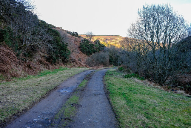
The loch is easily accessible, with a footpath encircling its perimeter, allowing visitors to enjoy leisurely walks while taking in the scenic views. Cleek Loch offers a peaceful and serene escape, where visitors can immerse themselves in nature and appreciate the beauty of this freshwater gem in Kincardineshire.
If you have any feedback on the listing, please let us know in the comments section below.
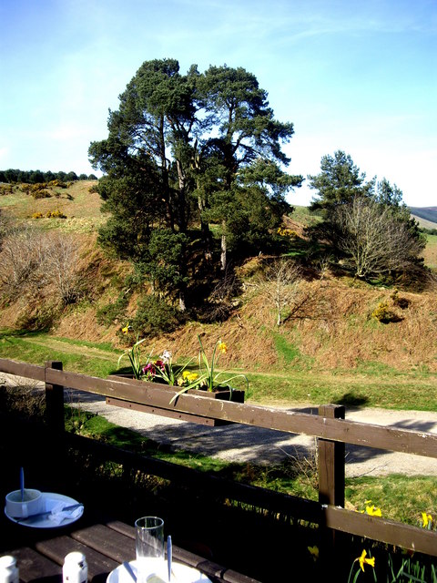
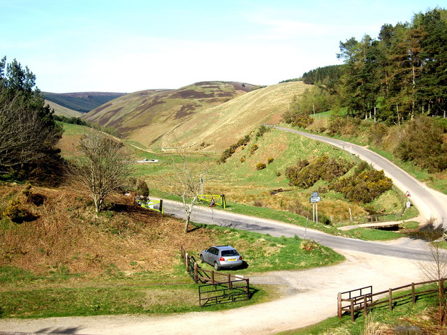
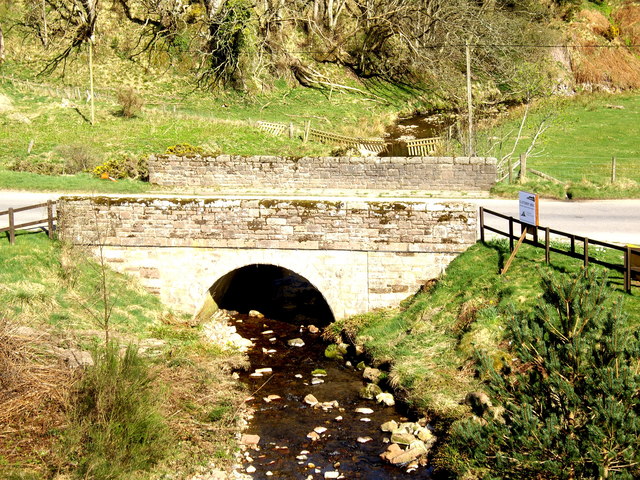
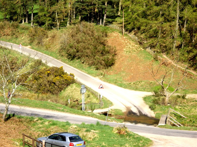
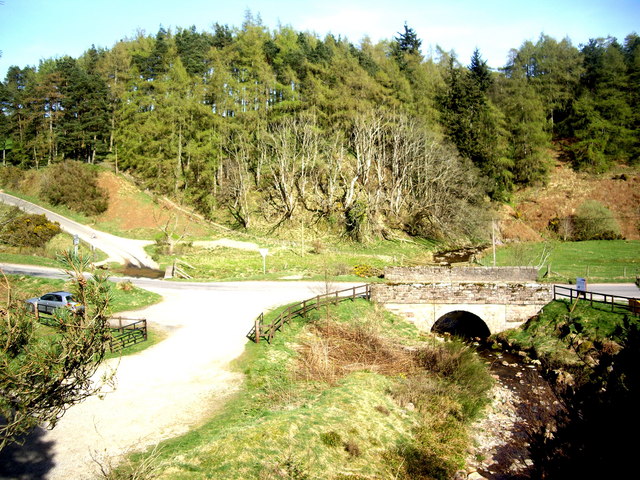
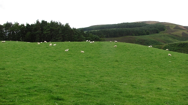
Cleek Loch Images
Images are sourced within 2km of 56.90307/-2.5386699 or Grid Reference NO6779. Thanks to Geograph Open Source API. All images are credited.


Cleek Loch is located at Grid Ref: NO6779 (Lat: 56.90307, Lng: -2.5386699)
Unitary Authority: Aberdeenshire
Police Authority: North East
What 3 Words
///tripods.smoothly.zoos. Near Laurencekirk, Aberdeenshire
Nearby Locations
Related Wikis

Cairn O' Mounth
Cairn O' Mounth/Cairn O' Mount (Scottish Gaelic: Càrn Mhon) is a high mountain pass in Aberdeenshire, Scotland. The place name is a survival of the ancient...

Kincardineshire
Kincardineshire, also known as the Mearns (from the Scottish Gaelic A' Mhaoirne meaning "the Stewartry"), is a historic county, registration county and...

Drumtochty Castle
Drumtochty Castle is a neo-gothic style castellated mansion erected in 1812 approximately three kilometres north-west of Auchenblae, Kincardineshire, Scotland...

Drumtochty Forest
Drumtochty Forest is a coniferous woodland in Kincardineshire, Scotland. In earlier times this forest was associated with Drumtochty Castle. Other notable...
Kincardine, Aberdeenshire
Kincardine was a burgh in Scotland, near the present-day village of Fettercairn. It served as the first county town of Kincardineshire. The settlement...

Fasque House
Fasque, also known as Fasque House or Fasque Castle, is a mansion in Aberdeenshire, Scotland, situated near the village of Fettercairn, in the former county...

Auchenblae
Auchenblae (, Scottish Gaelic: Achadh nam Blàth) is a village in the Kincardine and Mearns area of Aberdeenshire, formerly in Kincardineshire, Scotland...

Fordoun Stone
The Fordoun Stone is a class II Pictish cross slab in Fordoun parish church, Auchenblae, Aberdeenshire, Scotland. == Description == A slab of Old Red Sandstone...
Nearby Amenities
Located within 500m of 56.90307,-2.5386699Have you been to Cleek Loch?
Leave your review of Cleek Loch below (or comments, questions and feedback).