Hill of Fare

Hill, Mountain in Aberdeenshire

Scotland

Hill of Fare

Royal Deeside from Hill of Fare View of Royal Deeside (the Dee valley) from the Hill of Fare
Royal Deeside from Hill of Fare Credit: Andrew Tryon

The Hill of Fare is a prominent landmark located in Aberdeenshire, Scotland. Rising to a height of 471 meters (1,545 feet), it is known for its distinctive shape and commanding views of the surrounding countryside.

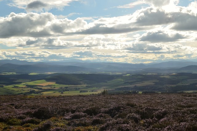
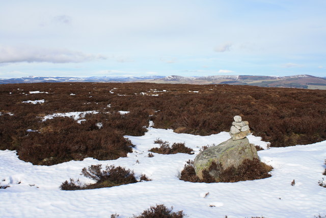
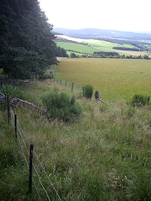
Situated to the west of Banchory, the Hill of Fare is part of the Grampian Mountains range. Its summit is easily accessible, making it a popular destination for hikers and nature enthusiasts. The hill is characterized by its gentle slopes and heather-covered terrain, offering a picturesque landscape throughout the year.

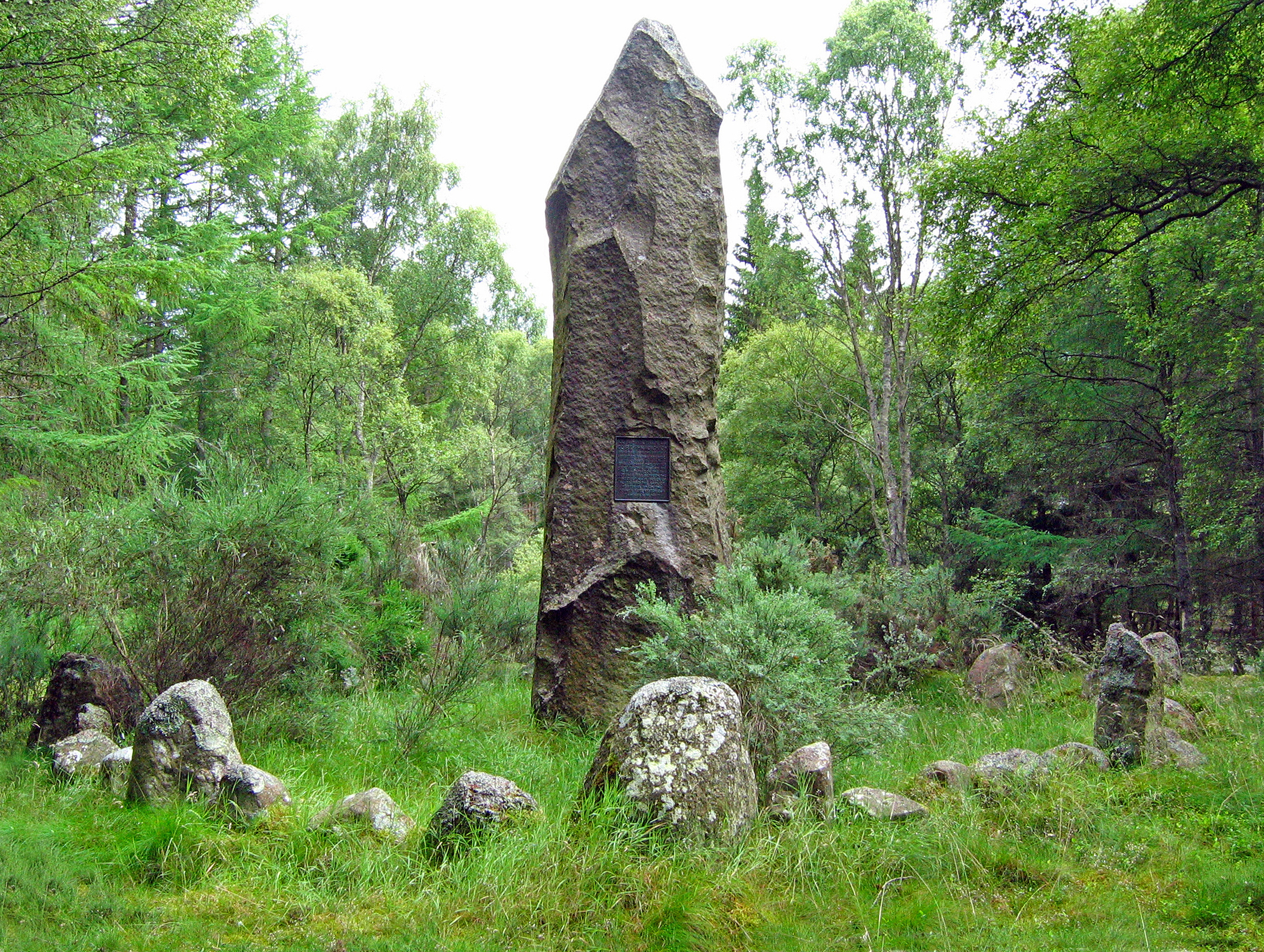
The Hill of Fare is steeped in history and folklore. It is said to have been a meeting place for the ancient Picts, an early Scottish tribe, and remnants of their settlements can still be found on the hill. Additionally, the hill has associations with the Knights Templar, a medieval Christian military order.

Visitors to the Hill of Fare can enjoy breathtaking panoramic views from its summit. On clear days, one can see as far as the Cairngorms National Park towards the south. The hill also offers stunning vistas of the River Dee and the surrounding countryside, making it a popular spot for photography and picnicking.

Overall, the Hill of Fare in Aberdeenshire is a captivating natural landmark that combines historical significance with breathtaking views. It continues to attract locals and tourists alike, offering a rewarding experience for those seeking to explore the beauty and history of Scotland's countryside.

If you have any feedback on the listing, please let us know in the comments section below.

Hill of Fare Images

Images are sourced within 2km of 57.116108/-2.5434273 or Grid Reference NJ6702. Thanks to Geograph Open Source API. All images are credited.

Royal Deeside from Hill of Fare View of Royal Deeside (the Dee valley) from the Hill of Fare
Royal Deeside from Hill of Fare
View of Royal Deeside (the Dee valley) from the Hill of Fare
Top of Corrichie Burn, Aberdeenshire View of heather covered moorlands in summer on the Hill of Fare, Aberdeenshire.  The Burn of Corrichie (watercourse) rises on these moorlands and flows down through the wooded valley below.
Top of Corrichie Burn, Aberdeenshire
View of heather covered moorlands in summer on the Hill of Fare, Aberdeenshire. The Burn of Corrichie (watercourse) rises on these moorlands and flows down through the wooded valley below.
Trig point on Tornamean Trig point on summit of Tornamean.
Trig point on Tornamean
Trig point on summit of Tornamean.
Wall on Tornamean Very well constructed dry stone wall on Tornamean looking towards the east.
Wall on Tornamean
Very well constructed dry stone wall on Tornamean looking towards the east.
Summit of  Hill of Fare The unusual cairn on the summit of Hill of Fare, a Marilyn near Banchory.
Summit of Hill of Fare
The unusual cairn on the summit of Hill of Fare, a Marilyn near Banchory.
Gorse and birch Gorse bushes on the northern slopes of Hill of Fare.
Gorse and birch
Gorse bushes on the northern slopes of Hill of Fare.
Looking towards Tillenhilt Taken from the edge of the plantation looking downhill over heather covered slopes towards Tillenhilt.
Looking towards Tillenhilt
Taken from the edge of the plantation looking downhill over heather covered slopes towards Tillenhilt.
Downhill view from the SW side of Turk Wood
Paved lane to  Blairhead Off minor road north of Ferretfold.
Paved lane to Blairhead
Off minor road north of Ferretfold.
Coirmoir From Campfield road.
Coirmoir
From Campfield road.
Pond below Braeside
Pond below Braeside
Pheasant-rearing pen By a stream below Braeside.
Pheasant-rearing pen
By a stream below Braeside.
Braeside and steading The ruins of Braeside farm.
Braeside and steading
The ruins of Braeside farm.
Looking upstream Towards Braeside pond. The gates across the stream are presumed to be flood protective devices to stop animals being swept downstream in time of spate.
Looking upstream
Towards Braeside pond. The gates across the stream are presumed to be flood protective devices to stop animals being swept downstream in time of spate.
A fair-sized cobble By the side of the stream from Braeside and at the corner of a copse.
A fair-sized cobble
By the side of the stream from Braeside and at the corner of a copse.
End of track through Turk Wood Turning place for logging trucks where Turk Wood ends and the Hill of Fare muir begins. A LT electricity pylon <a href="https://www.geograph.org.uk/gridref/NJ659035">NJ659035</a> can be seen straight ahead.
End of track through Turk Wood
Turning place for logging trucks where Turk Wood ends and the Hill of Fare muir begins. A LT electricity pylon NJ659035 can be seen straight ahead.
Track to Durswell Off the Hill of Fare.
Track to Durswell
Off the Hill of Fare.
Logging in Turk Wood Wood piles awaiting collection.
Logging in Turk Wood
Wood piles awaiting collection.
Show me another place!

Hill of Fare is located at Grid Ref: NJ6702 (Lat: 57.116108, Lng: -2.5434273)

Unitary Authority: Aberdeenshire

Police Authority: North East

What 3 Words

///cooked.topped.forgives. Near Torphins, Aberdeenshire

Related Wikis

Hill of Fare

The Hill of Fare is a small hill in Aberdeenshire, Scotland. It is located about 5 km (3 miles) northeast of the village of Torphins. The hill is long...

Battle of Corrichie

The Battle of Corrichie was fought on the slopes of the Hill of Fare in Aberdeenshire, Scotland, on 28 October 1562. It was fought between the forces of...

Cluny Crichton Castle

Cluny Crichton Castle (also known as Clounie Crighton Castle) is a ruined 3-story tower house on the southern slopes of the Hill of Fare in Aberdeenshire...

Beltie Burn

The Beltie Burn is a burn in Aberdeenshire, Scotland, which below Torphins and Glassel is known as the Burn of Canny. It begins in the hill of Benaquhallie...

Nearby Amenities

Located within 500m of 57.116108,-2.5434273
Hill of Fare
Corbett: no
Ele: 471
Graham: no
Marilyn: yes
Munro: no
Natural: peak
Prominence: 217
Lat/Long: 57.1161262/-2.5435347
The data included in this document is from www.openstreetmap.org. The data is made available under ODbL.

Have you been to Hill of Fare?

Leave your review of Hill of Fare below (or comments, questions and feedback).