Creech Hill

Hill, Mountain in Somerset Mendip

England

Creech Hill

Stepping Stones, Bruton The stepping stones across the River Brue in Bruton are an ideal place for children to bathe on a hot summer's day. Here, they are seen from the Packhorse Bridge.
Stepping Stones, Bruton Credit: Vieve Forward

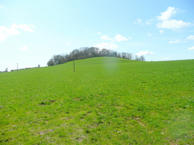
Creech Hill, located in Somerset, England, is a prominent hill that stands at an elevation of 211 meters (692 feet) above sea level. It is situated in the Mendip Hills, a range known for its stunning natural beauty and rich geological history. The hill can be found near the village of Stoke St Michael, approximately 16 kilometers (10 miles) southwest of the city of Bath.

Creech Hill is characterized by its distinctive conical shape, which is a result of its formation during the Jurassic period. Composed primarily of limestone, the hill is an important feature of the local landscape and offers breathtaking panoramic views of the surrounding countryside. On a clear day, visitors can see as far as the Bristol Channel and the Welsh mountains.

The hill is home to a variety of flora and fauna, including several rare wildflower species that thrive in the area's limestone-rich soil. It is also a popular spot for birdwatching, with species such as buzzards and kestrels often spotted soaring above its slopes.

In addition to its natural beauty, Creech Hill has historical significance. The site contains an Iron Age hillfort, which dates back over 2,000 years and is a testament to the area's ancient past. The hillfort's earthwork defenses and remnants of settlement can still be seen today.

Creech Hill attracts both locals and tourists who enjoy hiking and exploring the outdoors. It offers a range of walking trails, allowing visitors to fully experience its natural wonders and immerse themselves in the history of this remarkable hill in Somerset.

If you have any feedback on the listing, please let us know in the comments section below.
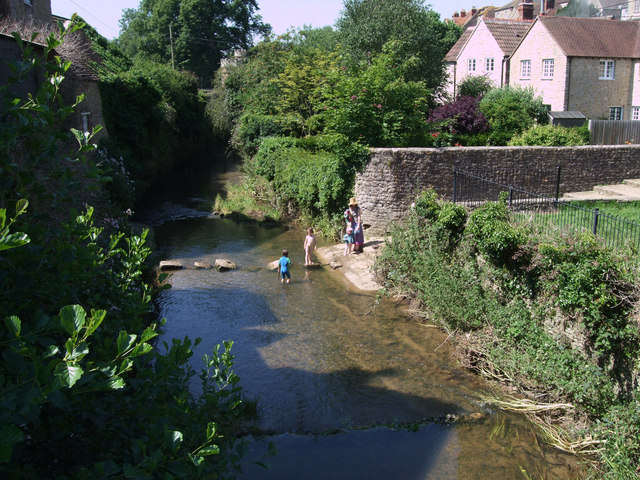
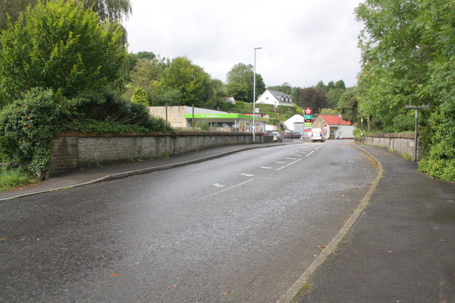
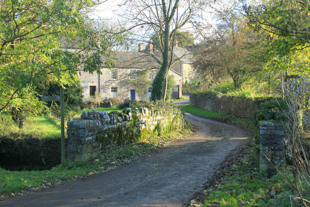
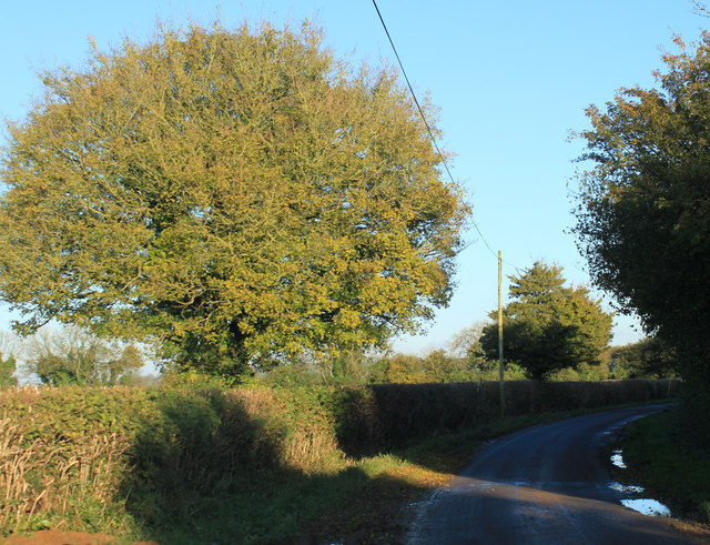
Creech Hill Images

Images are sourced within 2km of 51.123806/-2.4737684 or Grid Reference ST6636. Thanks to Geograph Open Source API. All images are credited.

Stepping Stones, Bruton The stepping stones across the River Brue in Bruton are an ideal place for children to bathe on a hot summer's day. Here, they are seen from the Packhorse Bridge.
Stepping Stones, Bruton
The stepping stones across the River Brue in Bruton are an ideal place for children to bathe on a hot summer's day. Here, they are seen from the Packhorse Bridge.
Benchmark on the School Shop Ordnance Survey cut mark benchmark described on the Bench Mark Database at <span class="nowrap"><a title="http://www.bench-marks.org.uk/bm45516" rel="nofollow ugc noopener" href="http://www.bench-marks.org.uk/bm45516">Link</a><img style="margin-left:2px;" alt="External link" title="External link - shift click to open in new window" src="https://s1.geograph.org.uk/img/external.png" width="10" height="10"/></span>
Benchmark on the School Shop
Ordnance Survey cut mark benchmark described on the Bench Mark Database at LinkExternal link
The School Shop There is an OS benchmark <a href="https://www.geograph.org.uk/photo/3206338">ST6834 : Benchmark on the School Shop</a> on the side of the buttress on the right hand side of the porch.
The School Shop
There is an OS benchmark ST6834 : Benchmark on the School Shop on the side of the buttress on the right hand side of the porch.
Benchmark on Leggs Bridge Ordnance Survey cut mark benchmark described on the Bench Mark Database at <span class="nowrap"><a title="http://www.bench-marks.org.uk/bm45522" rel="nofollow ugc noopener" href="http://www.bench-marks.org.uk/bm45522">Link</a><img style="margin-left:2px;" alt="External link" title="External link - shift click to open in new window" src="https://s1.geograph.org.uk/img/external.png" width="10" height="10"/></span>
Benchmark on Leggs Bridge
Ordnance Survey cut mark benchmark described on the Bench Mark Database at LinkExternal link
Leggs Bridge, Cole Road The bridge takes the A359 over the River Brue. There is an OS benchmark <a href="https://www.geograph.org.uk/photo/3206607">ST6734 : Benchmark on Leggs Bridge</a> on the near end of the left hand side parapet.
Leggs Bridge, Cole Road
The bridge takes the A359 over the River Brue. There is an OS benchmark ST6734 : Benchmark on Leggs Bridge on the near end of the left hand side parapet.
Benchmark on 'Chepstow House' Ordnance Survey cut mark benchmark described on the Bench Mark Database at <span class="nowrap"><a title="http://www.bench-marks.org.uk/bm45520" rel="nofollow ugc noopener" href="http://www.bench-marks.org.uk/bm45520">Link</a><img style="margin-left:2px;" alt="External link" title="External link - shift click to open in new window" src="https://s1.geograph.org.uk/img/external.png" width="10" height="10"/></span>
Benchmark on 'Chepstow House'
Ordnance Survey cut mark benchmark described on the Bench Mark Database at LinkExternal link
'Chepstow House' at Shute Lane/Cole Road junction There is an OS benchmark <a href="https://www.geograph.org.uk/photo/3206907">ST6734 : Benchmark on 'Chepstow House'</a> on the black-painted stones at the left hand front corner of the house.
'Chepstow House' at Shute Lane/Cole Road junction
There is an OS benchmark ST6734 : Benchmark on 'Chepstow House' on the black-painted stones at the left hand front corner of the house.
Benchmark on #30 High Street Ordnance Survey cut mark benchmark described on the Bench Mark Database at <span class="nowrap"><a title="http://www.bench-marks.org.uk/bm45517" rel="nofollow ugc noopener" href="http://www.bench-marks.org.uk/bm45517">Link</a><img style="margin-left:2px;" alt="External link" title="External link - shift click to open in new window" src="https://s1.geograph.org.uk/img/external.png" width="10" height="10"/></span>
Benchmark on #30 High Street
Ordnance Survey cut mark benchmark described on the Bench Mark Database at LinkExternal link
#30 High Street Listed Grade II described as:
Small town house, in row. Early C18. Local stone rubble with Doulting stone dressings; possibly flat roof hidden by parapets; brick end chimney stack. 3 storeys, one bay. Plinth, large ashlar quoins, band course below shallow parapet which has angled upsweeps each side. Ground floor re-arranged, with 2 single-light casements in plain surrounds to left of late C20 part glazed door - door originally central with smaller sidelights; to first floor Venetian window with small-pane casements in plain surround; above 3 single-light casements in linked surround. Interior much altered at ground floor level.
There is an OS benchmark <a href="https://www.geograph.org.uk/photo/3206932">ST6834 : Benchmark on #30 High Street</a> on the side jut face of the building which is next to a (former?) church on the far side.
#30 High Street
Listed Grade II described as: Small town house, in row. Early C18. Local stone rubble with Doulting stone dressings; possibly flat roof hidden by parapets; brick end chimney stack. 3 storeys, one bay. Plinth, large ashlar quoins, band course below shallow parapet which has angled upsweeps each side. Ground floor re-arranged, with 2 single-light casements in plain surrounds to left of late C20 part glazed door - door originally central with smaller sidelights; to first floor Venetian window with small-pane casements in plain surround; above 3 single-light casements in linked surround. Interior much altered at ground floor level. There is an OS benchmark ST6834 : Benchmark on #30 High Street on the side jut face of the building which is next to a (former?) church on the far side.
Benchmark on #1 High Street Ordnance Survey flush bracket, serial number S6714, benchmark described on the Bench Mark Database at <span class="nowrap"><a title="http://www.bench-marks.org.uk/bm2579" rel="nofollow ugc noopener" href="http://www.bench-marks.org.uk/bm2579">Link</a><img style="margin-left:2px;" alt="External link" title="External link - shift click to open in new window" src="https://s1.geograph.org.uk/img/external.png" width="10" height="10"/></span>
Benchmark on #1 High Street
Ordnance Survey flush bracket, serial number S6714, benchmark described on the Bench Mark Database at LinkExternal link
#1 High Street There is an OS Flush bracket <a href="https://www.geograph.org.uk/photo/3207297">ST6834 : Benchmark on #1 High Street</a> on the building which can be seen left of the bollard
#1 High Street
There is an OS Flush bracket ST6834 : Benchmark on #1 High Street on the building which can be seen left of the bollard
2012 : Minor road to Spargrove Five years after <a href="https://www.geograph.org.uk/photo/492359">ST6638 : Bridge on the lane to Spargrove</a>
Taken after a night of heavy rain, the brook under the bridge was swollen and running fast.
2012 : Minor road to Spargrove
Five years after ST6638 : Bridge on the lane to Spargrove Taken after a night of heavy rain, the brook under the bridge was swollen and running fast.
2012 : Spargrove Farm and Mill The mill is partly hidden to the left, for a better view taken in 1987 see <a href="https://www.geograph.org.uk/photo/83614">ST6738 : Batcombe: Spargrove Mill</a>. The River Alham flows between a road bridge is in the immediate foreground.
Thomas Moore (1618 - 1695) lived at Spargrove at one time. <span class="nowrap"><a title="http://www.historyofparliamentonline.org/volume/1660-1690/member/moore-thomas-1618-95" rel="nofollow ugc noopener" href="http://www.historyofparliamentonline.org/volume/1660-1690/member/moore-thomas-1618-95">Link</a><img style="margin-left:2px;" alt="External link" title="External link - shift click to open in new window" src="https://s1.geograph.org.uk/img/external.png" width="10" height="10"/></span>
2012 : Spargrove Farm and Mill
The mill is partly hidden to the left, for a better view taken in 1987 see ST6738 : Batcombe: Spargrove Mill. The River Alham flows between a road bridge is in the immediate foreground. Thomas Moore (1618 - 1695) lived at Spargrove at one time. LinkExternal link
2012 : Lane to Stoney Stratton and Evercreech Two delightful miles.
2012 : Lane to Stoney Stratton and Evercreech
Two delightful miles.
2012 : Ploughed field and view south of Batcombe The trees on the left hide Higher Green's Combe Farm.
The low November sun puts shadows across the freshly ploughed field.
Whaddon Hill is in the background.
2012 : Ploughed field and view south of Batcombe
The trees on the left hide Higher Green's Combe Farm. The low November sun puts shadows across the freshly ploughed field. Whaddon Hill is in the background.
2012 : Lane heading east near Higher Green's Combe Farm Toward Hedgestocks, Copplesbury Lane and the A359.
2012 : Lane heading east near Higher Green's Combe Farm
Toward Hedgestocks, Copplesbury Lane and the A359.
2012 : South west  near Higher Green's Combe Farm The road follows the top of a ridge leading to Creech Hill.
2012 : South west near Higher Green's Combe Farm
The road follows the top of a ridge leading to Creech Hill.
2012 : Pasture near Higher Green's Combe Farm Long shadows in the late afternoon sun.
Alfred's Tower <a href="https://www.geograph.org.uk/gridref/ST7435">ST7435</a> is at the top of the background hill.
2012 : Pasture near Higher Green's Combe Farm
Long shadows in the late afternoon sun. Alfred's Tower ST7435 is at the top of the background hill.
Show me another place!

Creech Hill is located at Grid Ref: ST6636 (Lat: 51.123806, Lng: -2.4737684)

Administrative County: Somerset

District: Mendip

Police Authority: Avon and Somerset

What 3 Words

///confident.flamingo.musically. Near Bruton, Somerset

Related Wikis

Creech Hill

Creech Hill is a hill in south east Somerset, England, which is notable for a univallate Iron Age hill fort. The hill is situated approximately 1.2 miles...

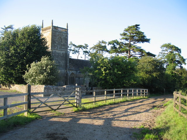
Church of St Mary and St John, Lamyat

The Anglican Church Of St Mary and St John in Lamyatt, within the English county of Somerset, was built in the 13th century. It is a Grade II* listed building...

Milton Clevedon

Milton Clevedon is a village and civil parish 1 mile (1.6 km) south of Evercreech in the Mendip district of Somerset, England. == History == The name of...

Lamyatt

Lamyatt is a village and civil parish in the Mendip district of Somerset, England. It lies 5 miles (8 km) south east of Shepton Mallet, 2 miles (3 km)...

Church of St James, Milton Clevedon

The Anglican Church of St James in Milton Clevedon, within the English county of Somerset, was rebuilt in 1790. It is a Grade II* listed building.The first...
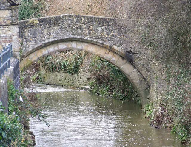
Bow Bridge, Plox

Bow Bridge is a 15th-century packhorse bridge over the River Brue in Plox, Bruton, Somerset, England. It has been designated as a Grade I listed building...

Sexey's Hospital

Sexey's Hospital in Bruton, Somerset, England was built around 1630 as almshouses. The West Wing and chapel have been designated as a Grade I listed building...

Bruton

Bruton ( BROO-tən) is a market town, electoral ward, and civil parish in Somerset, England, on the River Brue and the A359 between Frome and Yeovil. It...

Nearby Amenities

Located within 500m of 51.123806,-2.4737684
The data included in this document is from www.openstreetmap.org. The data is made available under ODbL.

Have you been to Creech Hill?

Leave your review of Creech Hill below (or comments, questions and feedback).