Calf Top

Hill, Mountain in Westmorland South Lakeland

England

Calf Top

Footbridge on Barkin Beck Described as 'new' in 2013 <a href="https://www.geograph.org.uk/photo/3350976">SD6683 : New footbridge over Barkin Beck</a>.
Footbridge on Barkin Beck Credit: Stephen Craven

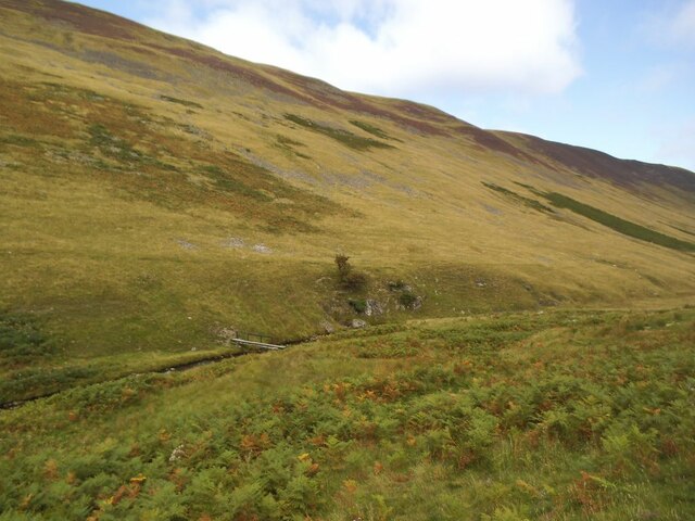
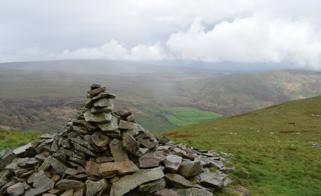
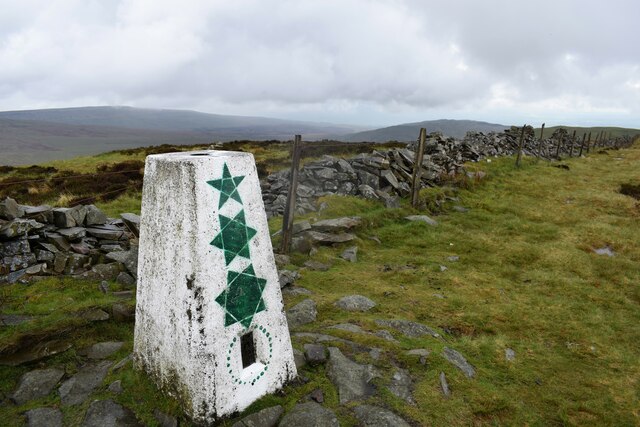
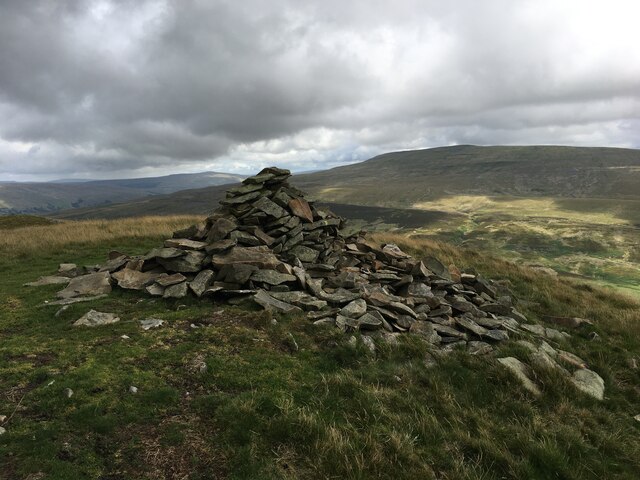
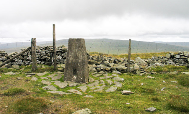
Calf Top is a prominent hill located in Westmorland, a former county in the northwest of England. Situated in the Yorkshire Dales National Park, it is part of the Howgill Fells range. Rising to an elevation of 609 meters (1,998 feet), Calf Top offers stunning panoramic views across the surrounding countryside.

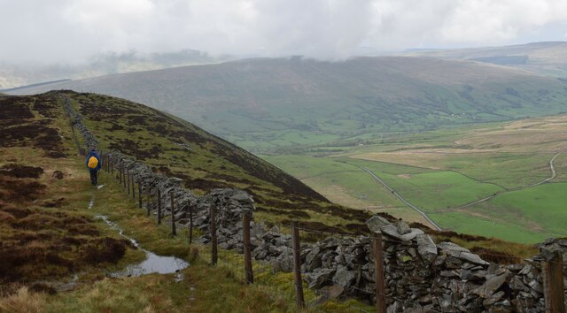
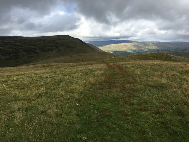
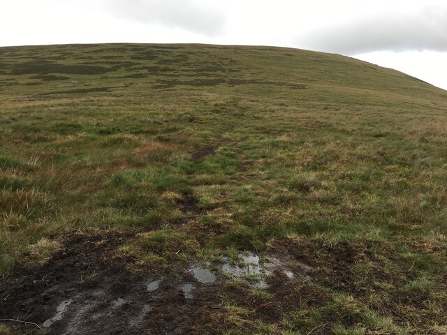
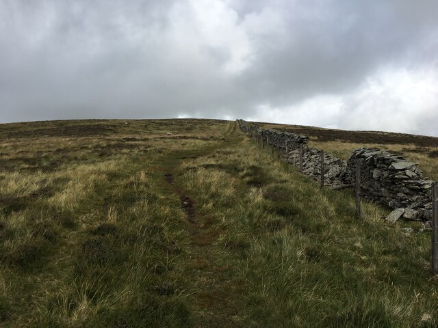
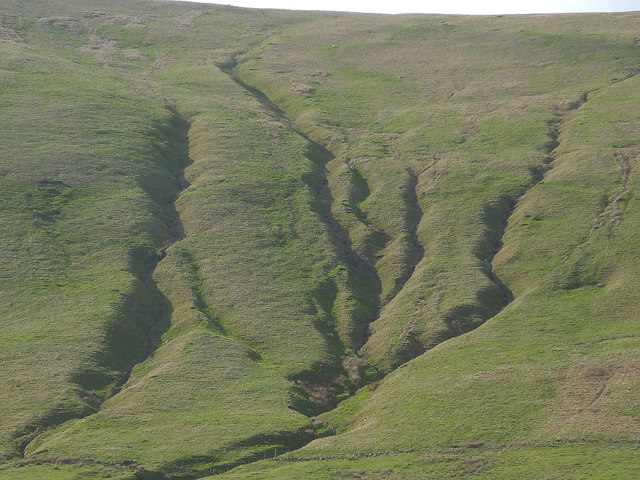
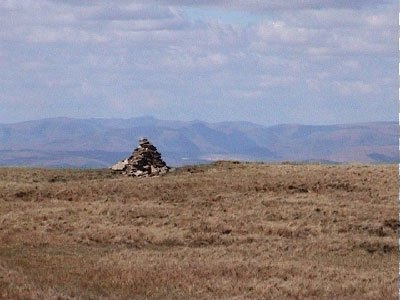
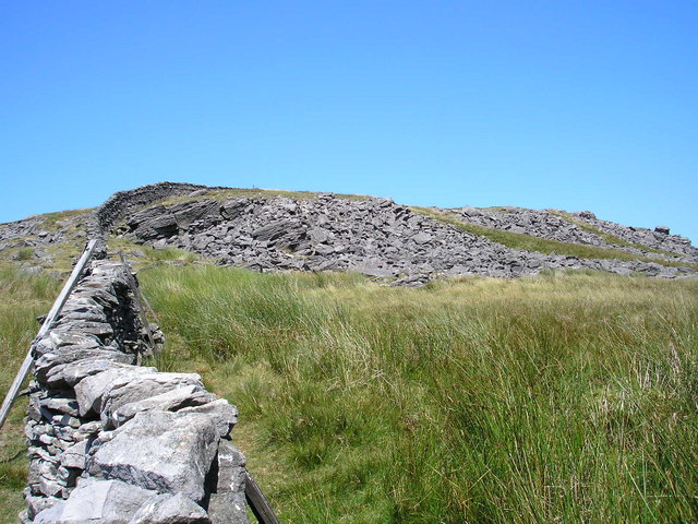
The hill is known for its distinct shape, resembling a rounded dome, which adds to its appeal for hikers and outdoor enthusiasts. The ascent to the summit is relatively moderate, making it accessible to a wide range of visitors. The terrain is mostly grassy, with occasional rocky outcrops and patches of heather.

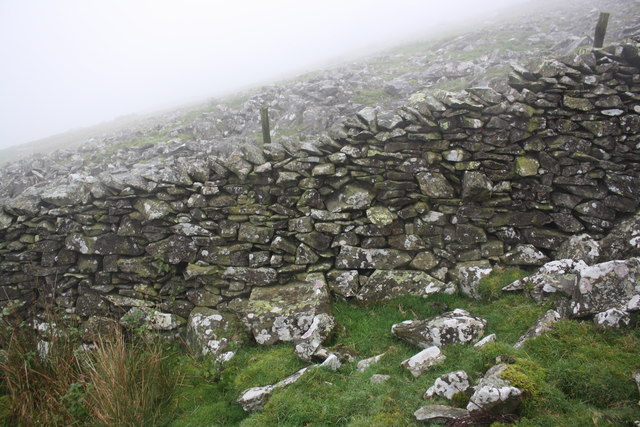
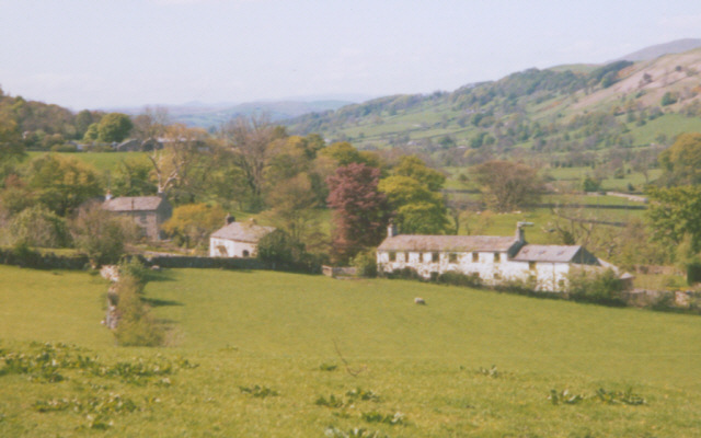
Calf Top is an ideal destination for those seeking a peaceful and unspoiled natural environment. The hill is home to a variety of flora and fauna, including sheep and wild birds, which can be observed during walks in the area. Along the way, there are stone walls, typical of the region, adding to the scenic charm of the landscape.

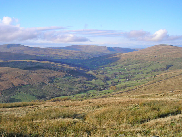
The summit of Calf Top provides breathtaking views of the surrounding valleys, including the Lune Valley to the north and the Howgill Fells to the west. On a clear day, it is even possible to see as far as the Lake District National Park and the distant peaks of the Pennines.

Overall, Calf Top offers a rewarding experience for nature lovers and hikers, combining moderate difficulty with outstanding natural beauty and captivating vistas. Whether it is for a leisurely stroll or a more challenging adventure, Calf Top is a noteworthy destination in Westmorland, attracting visitors from near and far.

If you have any feedback on the listing, please let us know in the comments section below.
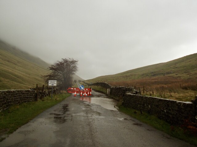
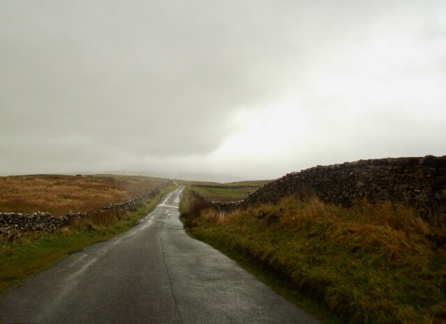
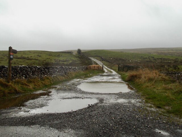
Calf Top Images

Images are sourced within 2km of 54.265319/-2.5169025 or Grid Reference SD6685. Thanks to Geograph Open Source API. All images are credited.

Footbridge on Barkin Beck Described as 'new' in 2013 <a href="https://www.geograph.org.uk/photo/3350976">SD6683 : New footbridge over Barkin Beck</a>.
Footbridge on Barkin Beck
Described as 'new' in 2013 SD6683 : New footbridge over Barkin Beck.
Cattle grid, Barbondale The grid has collapsed and is awaiting repair so all traffic goes the way of animals
Cattle grid, Barbondale
The grid has collapsed and is awaiting repair so all traffic goes the way of animals
Near the highest point on Barbondale Road A bleak spot on a wet November day
Near the highest point on Barbondale Road
A bleak spot on a wet November day
Start of the green lane which runs round Great Coum
Large cairn on Castle Knott Walking to Calf Top.
Large cairn on Castle Knott
Walking to Calf Top.
The summit of Calf top. One of the Dales 30 mountains.
The summit of Calf top.
One of the Dales 30 mountains.
Path alongside the ridge wall. Towards Barkin top.
Path alongside the ridge wall.
Towards Barkin top.
Wall and gate on Coombe top. Views of the Howgills.
Wall and gate on Coombe top.
Views of the Howgills.
Rough moorland on Green maws. Good views of the Howgills.
Rough moorland on Green maws.
Good views of the Howgills.
Cairn on Castle Knott
From Castle Knott towards Calf Top
Path towards Calf Top
Minor road through Barbondale
Red Gills, Barbondale Deeply incised feeders of Barkin Beck close to the head of Barbondale.
Red Gills, Barbondale
Deeply incised feeders of Barkin Beck close to the head of Barbondale.
Trig point on Calf Top The trig point on Calf Top has the flush bracket number S5670. Crag Hill lies beyond the fence and ruined wall.
Trig point on Calf Top
The trig point on Calf Top has the flush bracket number S5670. Crag Hill lies beyond the fence and ruined wall.
Benchmark on rock beside wall between Barbondale Road and Calf Top Ordnance Survey pivot benchmark levelled at 1269.9 feet above Liverpool Datum (shown on 1859 Map) and described on the Bench Mark Database at <span class="nowrap"><a title="https://www.bench-marks.org.uk/bm102178" rel="nofollow ugc noopener" href="https://www.bench-marks.org.uk/bm102178">Link</a><img style="margin-left:2px;" alt="External link" title="External link - shift click to open in new window" src="https://s1.geograph.org.uk/img/external.png" width="10" height="10"/></span>
Benchmark on rock beside wall between Barbondale Road and Calf Top
Ordnance Survey pivot benchmark levelled at 1269.9 feet above Liverpool Datum (shown on 1859 Map) and described on the Bench Mark Database at LinkExternal link
Dry stone wall on ascent from Barbondale Road to Calf Top Limited visibility because of low clouds.  There is an OS benchmark <a href="https://www.geograph.org.uk/photo/5943803">SD6685 : Benchmark on rock beside wall between Barbondale Road and Calf Top</a> on the square rock against the base of the wall beneath the fence post near the middle of the image.
Dry stone wall on ascent from Barbondale Road to Calf Top
Limited visibility because of low clouds. There is an OS benchmark SD6685 : Benchmark on rock beside wall between Barbondale Road and Calf Top on the square rock against the base of the wall beneath the fence post near the middle of the image.
Show me another place!

Calf Top is located at Grid Ref: SD6685 (Lat: 54.265319, Lng: -2.5169025)

Administrative County: Cumbria

District: South Lakeland

Police Authority: Cumbria

What 3 Words

///inert.gardens.fall. Near Sedbergh, Cumbria

Nearby Locations

Calf Top

Related Wikis

Calf Top

Calf Top is a mountain in the western part of the Yorkshire Dales, England. It is located in the county of Cumbria, although Lancashire and North Yorkshire...

Gawthrop

Gawthrop is a hamlet in the South Lakeland district, in the county of Cumbria, England. Historically part of the West Riding of Yorkshire, it lies within...

Crag Hill (Yorkshire Dales)

Crag Hill is on the western edge of the Yorkshire Dales in northern England, not to be confused with the higher Crag Hill elsewhere in the county of Cumbria...

Middleton, Cumbria

Middleton is a village and a civil parish on the A683 road, in the South Lakeland district, in the county of Cumbria, England. Middleton has a church called...

Great Coum

Great Coum is a hill in the Yorkshire Dales, but is located in the South Lakeland district of Cumbria. The highest point is in Dent parish, but the boundary...

St Andrew's Church, Dent

St Andrew's Church is in the village of Dent, Cumbria, England. It is an active Anglican parish church in the Western Dales Mission Community in the deanery...

Dentdale

Dentdale is a dale or valley in the north-west of the Yorkshire Dales National Park in Cumbria, England. It is the valley of the River Dee, but takes...
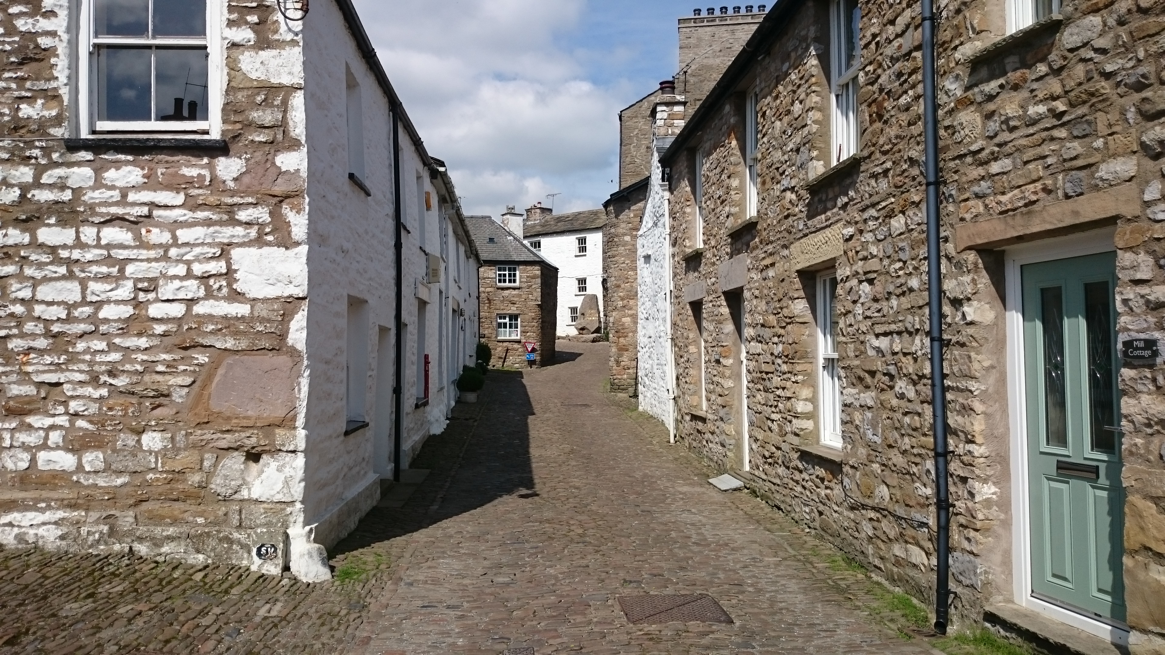
Dent, Cumbria

Dent is a village and civil parish in Cumbria, England, within the historic boundaries of the West Riding of Yorkshire. It lies in Dentdale, a narrow valley...

Nearby Amenities

Located within 500m of 54.265319,-2.5169025
Calf Top
Ele: 609
Natural: peak
Source: GPS
Wikidata: Q5019574
Wikipedia: en:Calf Top
Lat/Long: 54.2653588/-2.5167671
Natural: spring
Lat/Long: 54.2615303/-2.5166193
The data included in this document is from www.openstreetmap.org. The data is made available under ODbL.

Have you been to Calf Top?

Leave your review of Calf Top below (or comments, questions and feedback).