Broad Heath

Hill, Mountain in Worcestershire Malvern Hills

England

Broad Heath

Newhouse Farm, Hanley Child View from the footpath at SO645651.
Newhouse Farm, Hanley Child Credit: Philip Halling

Broad Heath is a hill located in the county of Worcestershire, England. Situated in the northwestern part of the county, it is part of the wider Malvern Hills Area of Outstanding Natural Beauty. Rising to a height of approximately 284 meters (932 feet) above sea level, Broad Heath offers breathtaking panoramic views of the surrounding countryside.

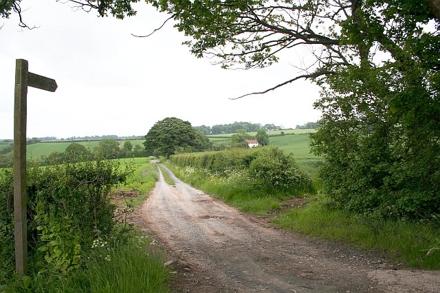
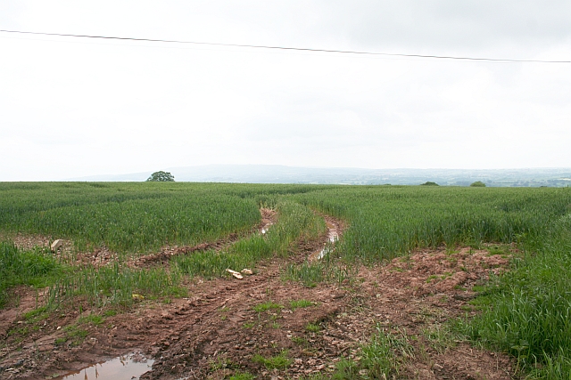
Covered in lush greenery, this hill is characterized by its rolling slopes and gentle gradients, making it an ideal spot for leisurely walks and hikes. The terrain consists of open grassland interspersed with patches of woodland, providing diverse habitats for a variety of flora and fauna. The hill is home to a range of plant species, including wildflowers, grasses, and shrubs, which add to its natural beauty.

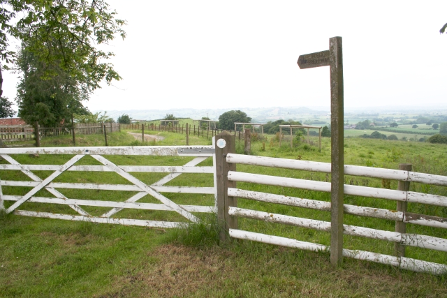
Broad Heath is a popular destination for outdoor enthusiasts and nature lovers. The well-maintained footpaths and trails allow visitors to explore the hill at their own pace, taking in the stunning vistas along the way. It is not uncommon to spot wildlife such as rabbits, deer, and a variety of bird species during a visit to this tranquil location.

From the summit of Broad Heath, visitors are treated to sweeping views of the surrounding countryside, including the nearby towns and villages nestled in the valleys below. On clear days, it is even possible to catch a glimpse of the distant Malvern Hills to the south.

Overall, Broad Heath in Worcestershire offers a picturesque and peaceful setting, perfect for those seeking a connection with nature and a break from the hustle and bustle of everyday life.

If you have any feedback on the listing, please let us know in the comments section below.
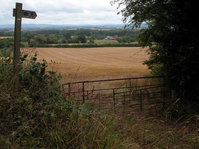
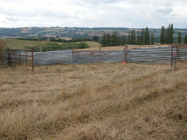
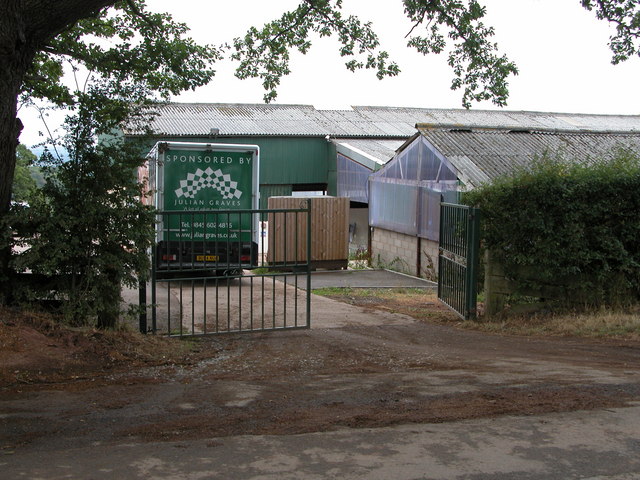
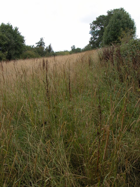
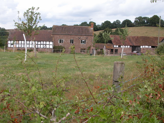
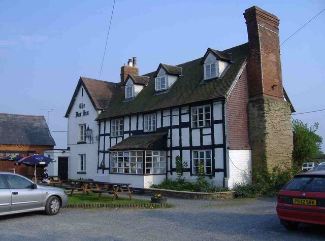
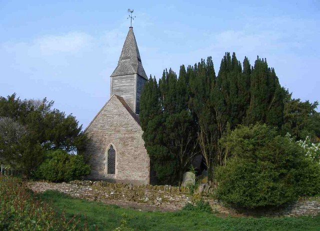
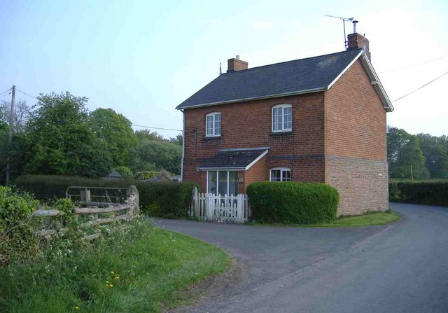
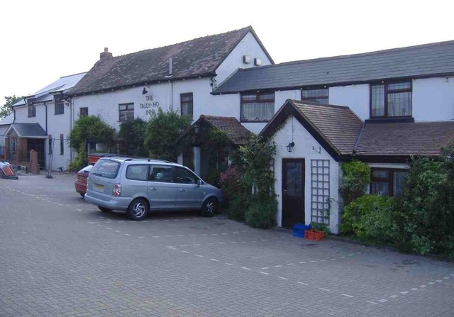
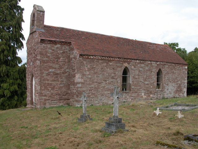
Broad Heath Images

Images are sourced within 2km of 52.287072/-2.4935609 or Grid Reference SO6665. Thanks to Geograph Open Source API. All images are credited.

Newhouse Farm, Hanley Child View from the footpath at SO645651.
Newhouse Farm, Hanley Child
View from the footpath at SO645651.
Hanley Child Church This small church in the isolated parish of Hanley Child is dedicated to St Michael and All Angels.
Hanley Child Church
This small church in the isolated parish of Hanley Child is dedicated to St Michael and All Angels.
Livestock pens, Hanley Child These livestock pens are in a field just to the west of Hanley Child.
Livestock pens, Hanley Child
These livestock pens are in a field just to the west of Hanley Child.
Farm buildings, Hanley Child Farm buildings at SO657644.
Farm buildings, Hanley Child
Farm buildings at SO657644.
Bridleway on Stoke Hill A bridleway crosses this field of rough grass, but the length of the grass indicates the bridleway is little used.
Bridleway on Stoke Hill
A bridleway crosses this field of rough grass, but the length of the grass indicates the bridleway is little used.
Farm at Hanley Child Farmhouse and building near the small church.
Farm at Hanley Child
Farmhouse and building near the small church.
The red earth of Worcestershire
The Fox Inn, Hanley William
All Saints Church, Hanley William
North Lodge, Hanley William
The Tally-Ho Inn, Broad Heath
West Villa, Rectory Road, Broad Heath
Childsgrove Farm Taken from the start of the lane at a point where five routes converge, though one is now just a public footpath blocked by crops.
Childsgrove Farm
Taken from the start of the lane at a point where five routes converge, though one is now just a public footpath blocked by crops.
Start of the Bridleway by Hill Top Farm The bridleway goes all the way down to a mill site and then on to Newhouse Farm.
Start of the Bridleway by Hill Top Farm
The bridleway goes all the way down to a mill site and then on to Newhouse Farm.
Footpath to Highwood Looking from a junction of five roads and paths, one of the paths goes across this field - now ploughed up and planted. Lying on the ground is the remains of a 3" X 3" wooden post - very similar to those indicating a public footpath.
Footpath to Highwood
Looking from a junction of five roads and paths, one of the paths goes across this field - now ploughed up and planted. Lying on the ground is the remains of a 3" X 3" wooden post - very similar to those indicating a public footpath.
Broad Heath Water Tower
Lea Farm Lea Farm is to the north-east of Lee Green farm
Lea Farm
Lea Farm is to the north-east of Lee Green farm
Lea Green Farm Lea Green Farm is south-west of Lea Farm
Lea Green Farm
Lea Green Farm is south-west of Lea Farm
Show me another place!

Broad Heath is located at Grid Ref: SO6665 (Lat: 52.287072, Lng: -2.4935609)

Administrative County: Worcestershire

District: Malvern Hills

Police Authority: West Mercia

What 3 Words

///solicitor.norms.fries. Near Collington, Herefordshire

Nearby Locations

Broad Heath Broad Heath

Related Wikis

Hanley, Worcestershire

Hanley is a civil parish in the district of Malvern Hills in the county of Worcestershire, England. Hanley William and Hanley Child are places within the...

Hanley William

Hanley William is a village and former civil parish, now in the parish of Hanley, in the Malvern Hills district, in the county of Worcestershire, England...

Hanley Child

Hanley Child is a village and former civil parish, now in the parish of Hanley, in the Malvern Hills district, in the county of Worcestershire, England...

Eastham, Worcestershire

Eastham is a village and civil parish in the Malvern Hills District in the county of Worcestershire, England. It had a population of 254 in 2021.Eastham...

Nearby Amenities

Located within 500m of 52.287072,-2.4935609
Bus Stop
Tally Ho Public House
Naptan AtcoCode: 2000G051701
Naptan Bearing: NW
Naptan CommonName: Tally Ho Public House
Naptan Indicator: Adj
Naptan Landmark: Tally Ho! Inn
Naptan NaptanCode: wocgjtjt
Naptan Street: Bell lane / B4204
Naptan Verified: no
Source: naptan_import
Lat/Long: 52.2864105/-2.4963098
Fixme: where does public footpath go?
Lat/Long: 52.2879882/-2.4899166
Post Box
Collection Times: Mo-Fr 16:00; Sa 10:00
Note: Royal Mail lists this box as WR6 148, not as shown on collection plate
Post Box Type: lamp
Ref: WR15 148
Royal Cypher: EIIR
Royal Cypher Wikidata: Q33102113
Lat/Long: 52.2862883/-2.4960799
Hanley Broadheath
Place: hamlet
Lat/Long: 52.284356/-2.4932312
Barrier: stile
Lat/Long: 52.2851427/-2.488168
Power: pole
Lat/Long: 52.2913992/-2.4927371
Power: pole
Lat/Long: 52.2912253/-2.4916904
Hurcott Barn
Power: pole
Transformer: distribution
Voltage Primary: 11000
Lat/Long: 52.2887697/-2.4947762
Power: pole
Lat/Long: 52.2904554/-2.4951705
Power: pole
Lat/Long: 52.2895104/-2.4949513
Power: pole
Lat/Long: 52.290948/-2.495306
Power: pole
Lat/Long: 52.2828752/-2.4922865
Broadheath North
Power: pole
Transformer: distribution
Voltage Primary: 11000
Lat/Long: 52.2847019/-2.4911861
Power: pole
Lat/Long: 52.2843479/-2.4915978
Power: pole
Lat/Long: 52.283742/-2.4922986
Power: pole
Lat/Long: 52.283235/-2.4946817
Power: pole
Lat/Long: 52.2829979/-2.4931656
Bell Lane East
Power: pole
Transformer: distribution
Voltage Primary: 11000
Lat/Long: 52.2833781/-2.4956842
Bell Inn
Power: pole
Transformer: distribution
Voltage Primary: 11000
Lat/Long: 52.28548/-2.4939964
Power: pole
Lat/Long: 52.284971/-2.4947152
Power: pole
Lat/Long: 52.2841862/-2.4958263
Power: pole
Lat/Long: 52.2844578/-2.4954481
Power: pole
Lat/Long: 52.2839159/-2.4962039
Power: pole
Lat/Long: 52.2835451/-2.4966907
Bell Lane
Power: pole
Transformer: distribution
Voltage Primary: 11000
Lat/Long: 52.2840332/-2.4973492
Bell Inn West
Power: pole
Transformer: distribution
Voltage Primary: 11000
Lat/Long: 52.2860051/-2.4966565
Power: pole
Lat/Long: 52.2857307/-2.4968898
Power: pole
Lat/Long: 52.2854054/-2.4971446
Power: pole
Lat/Long: 52.2851785/-2.4973015
Power: pole
Lat/Long: 52.284971/-2.4974846
Power: pole
Lat/Long: 52.2845304/-2.4978413
Power: pole
Lat/Long: 52.2841727/-2.4981967
Power: pole
Lat/Long: 52.2843027/-2.499218
The data included in this document is from www.openstreetmap.org. The data is made available under ODbL.

Have you been to Broad Heath?

Leave your review of Broad Heath below (or comments, questions and feedback).