Gallow Knowe Plump

Hill, Mountain in Kincardineshire

Scotland

Gallow Knowe Plump

Landends between woodland and a field of polytunnels Looking north-westward. To my untrained eye it looked like a crop of blueberries were being raised. Happy to be corrected.
Landends between woodland and a field of polytunnels Credit: Peter Wood

Gallow Knowe Plump is a prominent hill located in the region of Kincardineshire, Scotland. Rising to an elevation of approximately 1,500 feet (457 meters), it is considered one of the notable landmarks in the area. The hill is situated near the small village of Plump, surrounded by picturesque countryside and rolling green fields.

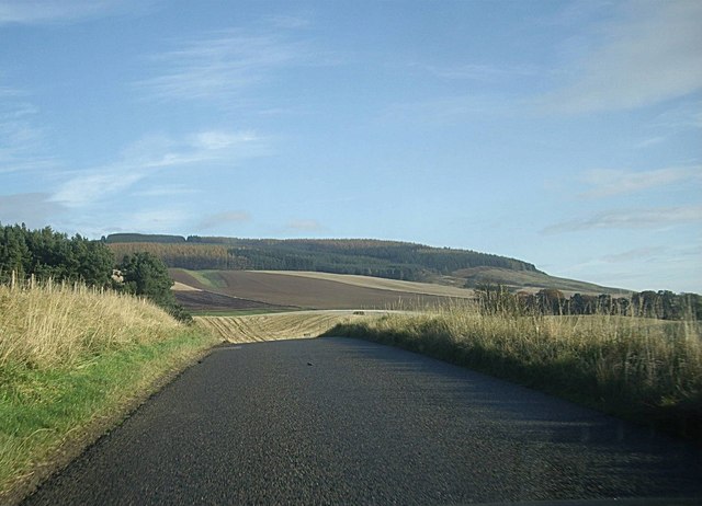
Gallow Knowe Plump offers breathtaking panoramic views of the surrounding landscape from its summit. On clear days, visitors can enjoy vistas stretching across the countryside, with distant views of nearby mountains and glens. The hill is a popular destination for hikers and outdoor enthusiasts, who are drawn to its natural beauty and the opportunity to explore the surrounding countryside.

The terrain of Gallow Knowe Plump is characterized by a mixture of grassy slopes and rocky outcrops, which add to its rugged charm. The hill is home to a variety of plant and animal species, including heather, moss, and birds of prey. Its diverse ecosystem contributes to its ecological significance in the region.

Access to Gallow Knowe Plump is relatively straightforward, with a well-marked path leading to the summit. Hikers are advised to wear appropriate footwear and carry necessary provisions, as the ascent can be steep in some sections. The hill offers a rewarding experience for those seeking outdoor adventure or simply a tranquil escape in the heart of Kincardineshire.

If you have any feedback on the listing, please let us know in the comments section below.

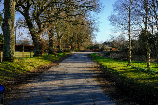
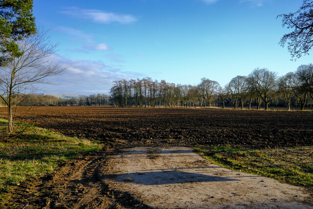
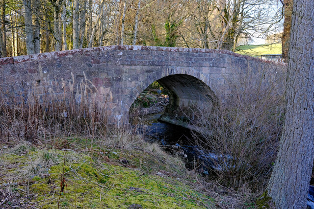
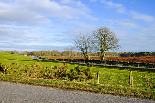
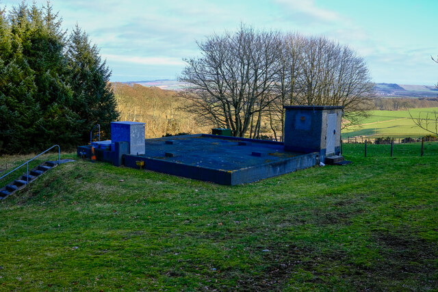
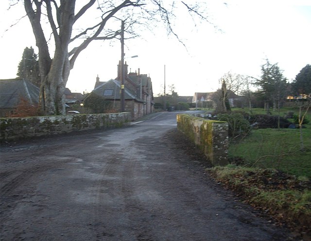
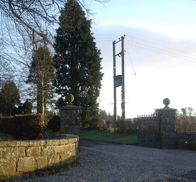
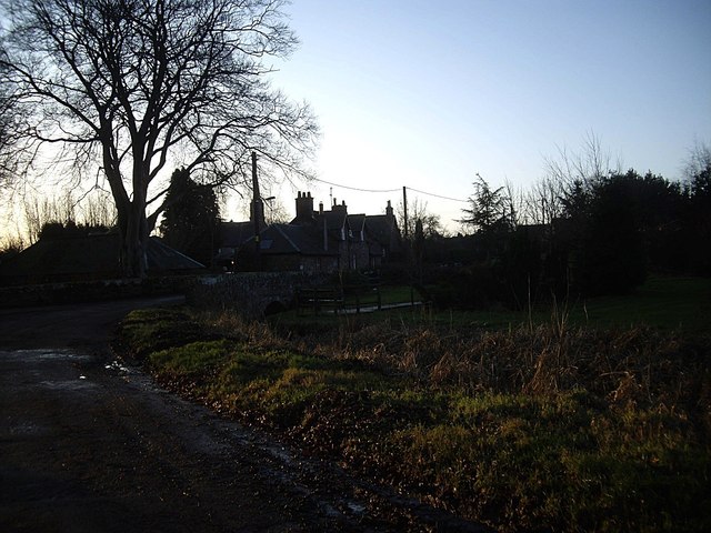
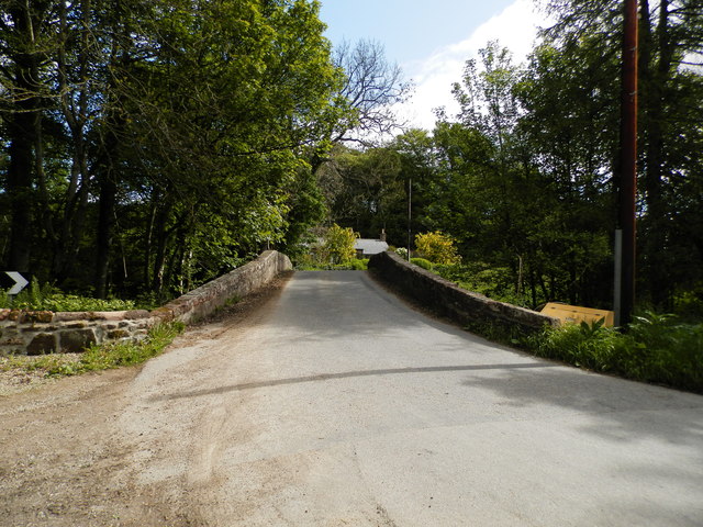
Gallow Knowe Plump Images

Images are sourced within 2km of 56.867044/-2.5555715 or Grid Reference NO6675. Thanks to Geograph Open Source API. All images are credited.

Landends between woodland and a field of polytunnels Looking north-westward. To my untrained eye it looked like a crop of blueberries were being raised. Happy to be corrected.
Landends between woodland and a field of polytunnels
Looking north-westward. To my untrained eye it looked like a crop of blueberries were being raised. Happy to be corrected.
Layby or parking area or bypass A small road that seems to be a place to park up in Fettercarin.
Layby or parking area or bypass
A small road that seems to be a place to park up in Fettercarin.
Ready to sow fields A field already for this years crops
Ready to sow fields
A field already for this years crops
Craigmoston Bridge The bridge over the Craigmoston Burn
Craigmoston Bridge
The bridge over the Craigmoston Burn
Two roads and a field Just a simple roadside view of this square
Two roads and a field
Just a simple roadside view of this square
Covered reservoir On hunters hill
Covered reservoir
On hunters hill
B974 by Bank of Gallowhillston On road between Fettercairn and Banchory.
B974 by Bank of Gallowhillston
On road between Fettercairn and Banchory.
Bridge in Fettercairn On the old road south from Cairn O'Mounth.
Bridge in Fettercairn
On the old road south from Cairn O'Mounth.
Gated entrance to Fettercairn House estate
The old road into Fettercairn From the north.
The old road into Fettercairn
From the north.
Track into Landends Plantation
Minor road past Landends Plantation
Craigmoston Bridge
Craigmoston Bridge
Woodhead junction A minor road meeting the B966 between Laurencekirk and Fettercairn.
Woodhead junction
A minor road meeting the B966 between Laurencekirk and Fettercairn.
Former schoolhouse, Woodhead By B966.
Former schoolhouse, Woodhead
By B966.
Flooded field/pond by Bogmill Not mapped as a permanent water feature by OS.
Flooded field/pond by Bogmill
Not mapped as a permanent water feature by OS.
Flooded field by B966/B9120 junction Close to a junction of B roads, near Fettercairn.
Flooded field by B966/B9120 junction
Close to a junction of B roads, near Fettercairn.
Mill of Kincardine From a minor link road between B966 and B974.
Mill of Kincardine
From a minor link road between B966 and B974.
Show me another place!

Gallow Knowe Plump is located at Grid Ref: NO6675 (Lat: 56.867044, Lng: -2.5555715)

Unitary Authority: Aberdeenshire

Police Authority: North East

What 3 Words

///seaweed.handyman.fizzy. Near Laurencekirk, Aberdeenshire

Related Wikis

Kincardine, Aberdeenshire

Kincardine was a burgh in Scotland, near the present-day village of Fettercairn. It served as the first county town of Kincardineshire. The settlement...

Fasque House

Fasque, also known as Fasque House or Fasque Castle, is a mansion in Aberdeenshire, Scotland, situated near the village of Fettercairn, in the former county...

Fettercairn

Fettercairn (, Scottish Gaelic: Fothair Chàrdain) is a small village in Aberdeenshire, Scotland, northwest of Laurencekirk in Aberdeenshire on the B966...

Fettercairn distillery

Fettercairn distillery is a whisky distillery in Fettercairn. Situated under the Grampian foothills in the Howe of Mearns, Fettercairn town’s name is...

Nearby Amenities

Located within 500m of 56.867044,-2.5555715
Power: pole
Lat/Long: 56.8688477/-2.5628519
Power: pole
Lat/Long: 56.8689311/-2.5615682
Power: pole
Lat/Long: 56.869105/-2.5603993
Power: pole
Lat/Long: 56.8692799/-2.5591883
Power: pole
Lat/Long: 56.8694618/-2.5580089
Power: pole
Lat/Long: 56.8696402/-2.5567747
Power: pole
Lat/Long: 56.8698301/-2.5555637
Power: pole
Lat/Long: 56.870004/-2.5543653
Power: pole
Lat/Long: 56.8701697/-2.5532364
Power: pole
Lat/Long: 56.8704598/-2.5521939
Power: pole
Lat/Long: 56.8707717/-2.5510355
The data included in this document is from www.openstreetmap.org. The data is made available under ODbL.

Have you been to Gallow Knowe Plump?

Leave your review of Gallow Knowe Plump below (or comments, questions and feedback).