Watch Hill
Hill, Mountain in Northumberland
England
Watch Hill
Watch Hill is a prominent hill located in the county of Northumberland, England. Situated in the northernmost part of the county, it forms part of the stunning landscape of the North Pennines Area of Outstanding Natural Beauty. Standing at an elevation of approximately 345 meters (1,132 feet), it offers breathtaking panoramic views of the surrounding countryside.
The hill is well-known for its historical significance, with evidence of Bronze Age settlements in the area. It takes its name from the watchtower that once stood atop its summit, serving as a lookout point during the Anglo-Scottish conflicts of the past. Today, the remains of the tower are a popular attraction for history enthusiasts and hikers alike.
Watch Hill is a haven for outdoor enthusiasts, offering a range of activities throughout the year. The hill boasts numerous walking and hiking trails, allowing visitors to explore its diverse flora and fauna. It is also a favorite spot for birdwatchers, as the area is home to various species of birds, including red grouse and curlews.
The hill's location within the North Pennines provides a unique opportunity for stargazing, with minimal light pollution and clear skies. As a result, Watch Hill has become a popular destination for astronomy enthusiasts seeking a glimpse of the night sky.
With its rich history, picturesque views, and outdoor recreational opportunities, Watch Hill in Northumberland is a must-visit destination for nature lovers and history buffs alike.
If you have any feedback on the listing, please let us know in the comments section below.
Watch Hill Images
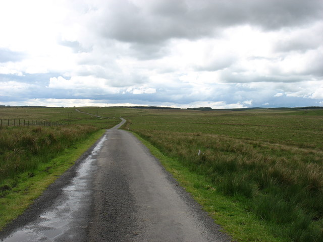
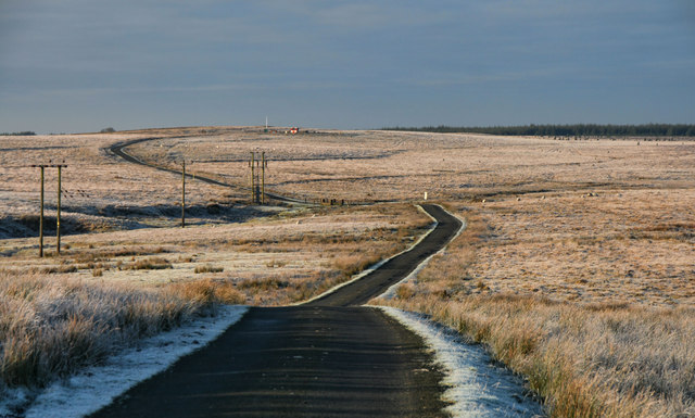
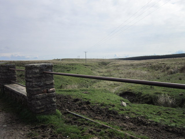
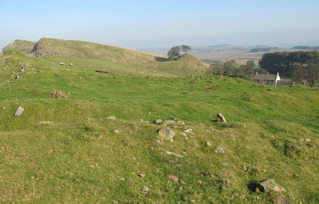
Images are sourced within 2km of 55.015367/-2.5296851 or Grid Reference NY6669. Thanks to Geograph Open Source API. All images are credited.


Watch Hill is located at Grid Ref: NY6669 (Lat: 55.015367, Lng: -2.5296851)
Unitary Authority: Northumberland
Police Authority: Northumbria
What 3 Words
///seducing.dragging.inhabited. Near Greenhead, Northumberland
Nearby Locations
Related Wikis

Northumbria
Northumbria (; Old English: Norþanhymbra rīċe [ˈnorˠðɑnˌhymbrɑ ˈriːt͡ʃe]; Latin: Regnum Northanhymbrorum) was an early medieval Anglo-Saxon kingdom in...

Popping Stone
The Popping Stone is a group of three rounded boulders in the Irthing Gorge near the village of Gilsland. It was not always this shape, however, and photographs...
Milecastle 45
Milecastle 45 (Walltown) was a milecastle on Hadrian's Wall (grid reference NY67716657). == Description == Milecastle 45 is on the top of Walltown Crags...
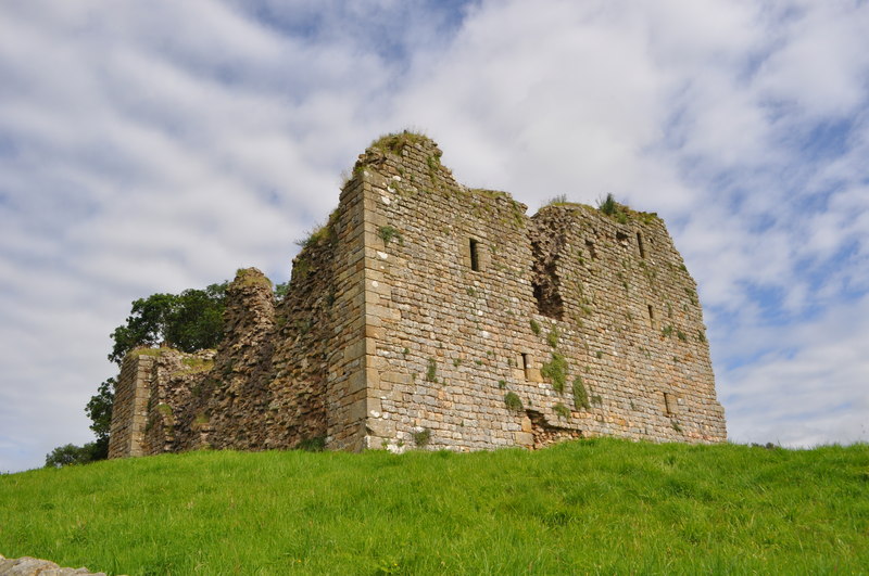
Thirlwall Castle
Thirlwall Castle is a 12th-century castle in Northumberland, England, on the bank of the River Tipalt close to the village of Greenhead and approximately...
Nearby Amenities
Located within 500m of 55.015367,-2.5296851Have you been to Watch Hill?
Leave your review of Watch Hill below (or comments, questions and feedback).