Archer Hill

Hill, Mountain in Westmorland Eden

England

Archer Hill

Wall above Bowderdale Yarlside on the horizon.
Wall above Bowderdale Credit: John H Darch

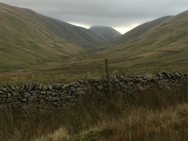
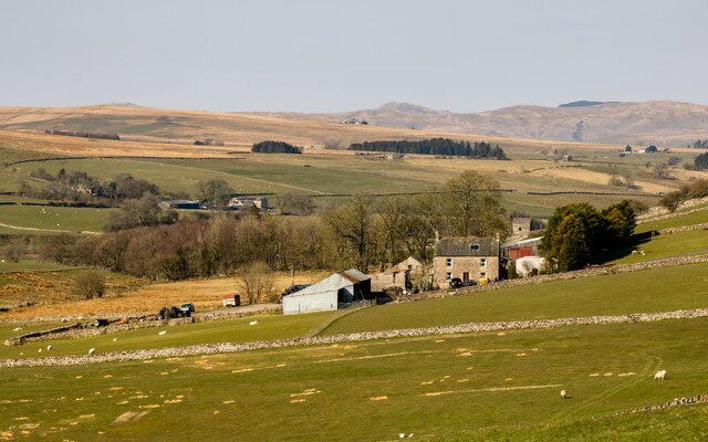
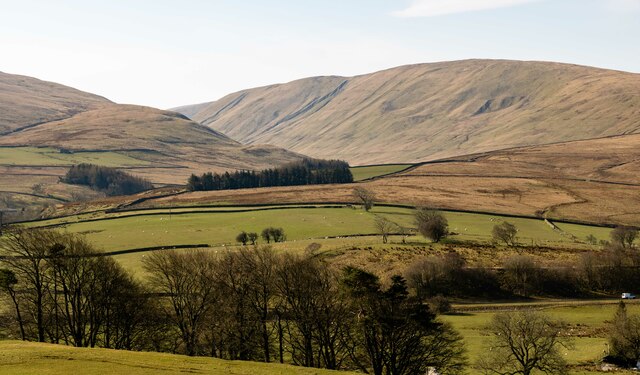
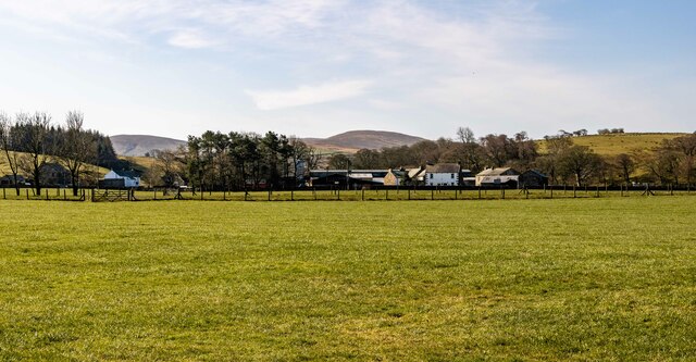
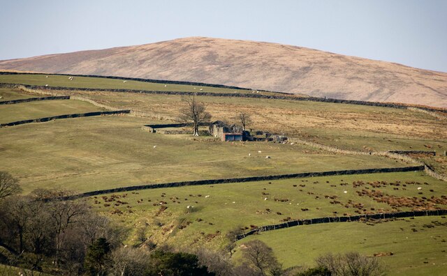
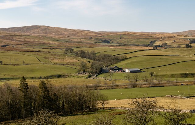
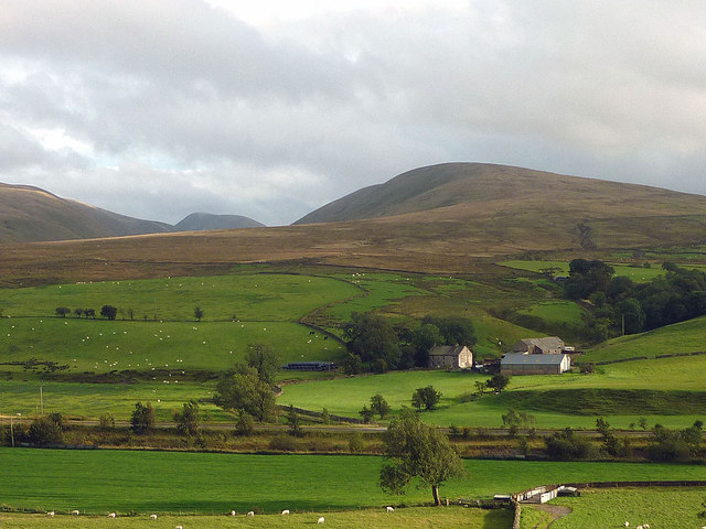
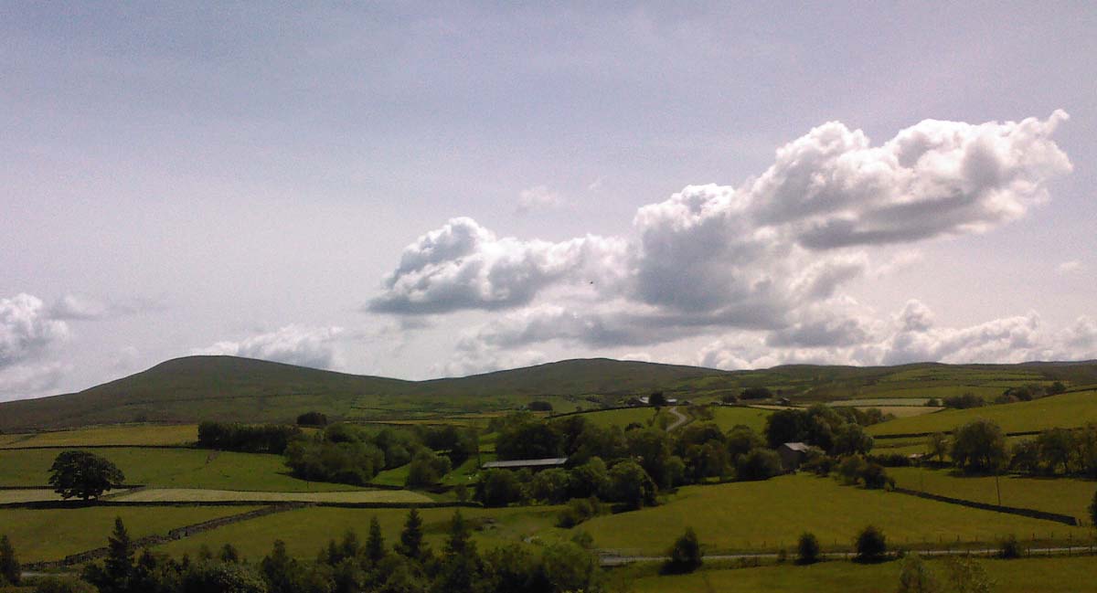
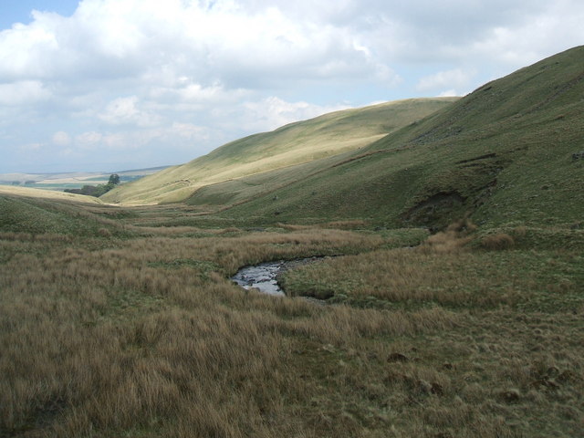
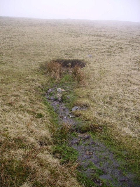
Archer Hill is a prominent hill located in the county of Westmorland, England. It is situated in the Lake District National Park, a renowned area known for its stunning natural beauty and rich history. Standing at an elevation of approximately 1,323 feet (403 meters), Archer Hill offers breathtaking panoramic views of the surrounding landscape.

The hill is covered with a mix of grass, heather, and scattered trees, creating a picturesque scene that changes hues with the seasons. It is a popular destination for hikers and nature enthusiasts who are drawn to its tranquil atmosphere and diverse flora and fauna.

Archer Hill is also notable for its historical significance. It is believed to have been a strategic vantage point during ancient times, providing a commanding view of the surrounding valleys and hills. Archaeological evidence suggests that the hill was inhabited by humans as early as the Neolithic period.

Today, Archer Hill attracts visitors from near and far, offering a variety of outdoor activities. Hiking trails crisscross the area, allowing visitors to explore the hill's slopes and discover hidden gems along the way. The hill's summit is a particularly popular spot, providing unobstructed views of the Lake District's rolling hills, sparkling lakes, and quaint villages.

Whether it's for a leisurely stroll to take in the scenery or a challenging hike to conquer its heights, Archer Hill is a must-visit destination for those seeking natural beauty and a connection to Westmorland's ancient past.

If you have any feedback on the listing, please let us know in the comments section below.
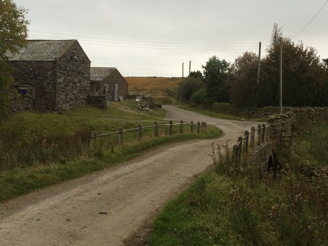
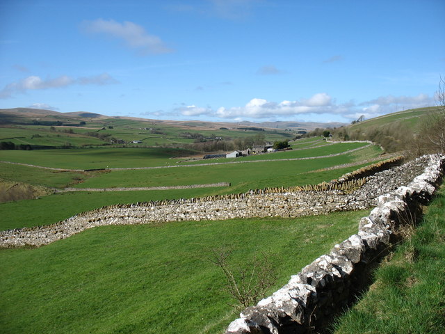
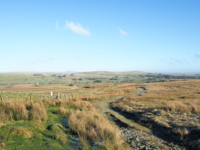
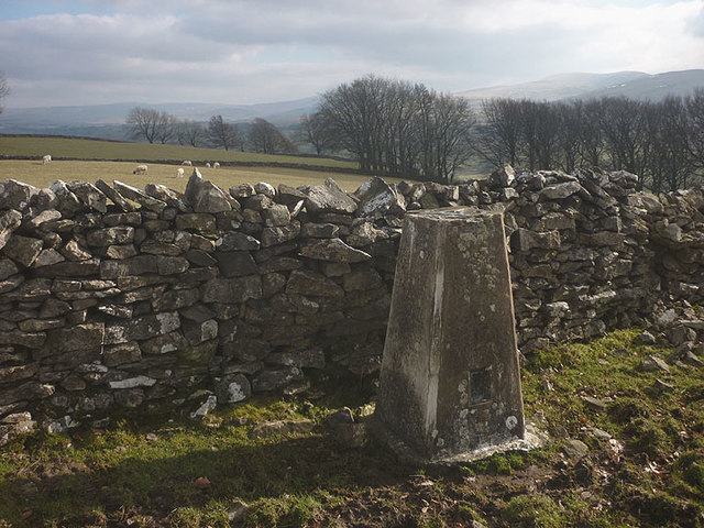
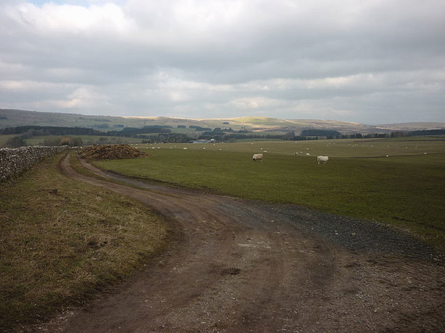
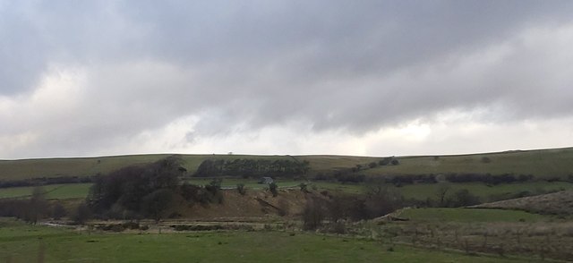
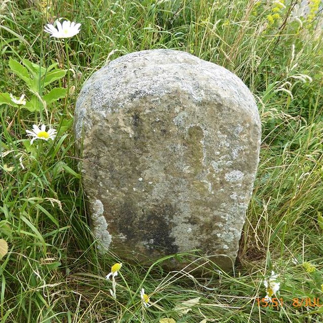
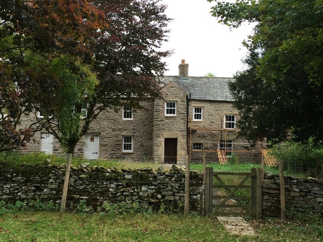
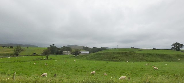
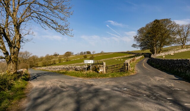
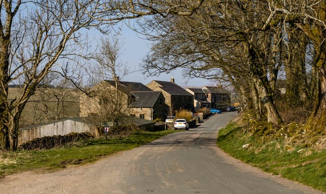
Archer Hill Images

Images are sourced within 2km of 54.434185/-2.5221875 or Grid Reference NY6604. Thanks to Geograph Open Source API. All images are credited.

Wall above Bowderdale Yarlside on the horizon.
Wall above Bowderdale
Yarlside on the horizon.
Bowderdale: farm and bridge
Stone walls approaching Kelleth Looking downstream, at the head of the Lune Valley.
Stone walls approaching Kelleth
Looking downstream, at the head of the Lune Valley.
Hill road on ridge beside Bowderdale Bowderdale lies to the west, left in the image, beyond the wall and some fields. The hill road has climbed from a public road end above the farm at Scar Sikes.
Hill road on ridge beside Bowderdale
Bowderdale lies to the west, left in the image, beyond the wall and some fields. The hill road has climbed from a public road end above the farm at Scar Sikes.
Trig point on Kelleth Rigg At 307m asl and in rather an odd location - there is a 309m spot height just north and the summit of the ridge is at 318m over 1km away to the east.
Trig point on Kelleth Rigg
At 307m asl and in rather an odd location - there is a 309m spot height just north and the summit of the ridge is at 318m over 1km away to the east.
Field track off Wain Gap Lane
Meanders in Upper Lunedale
Old Boundary Marker Parish Boundary Marker on the north side verge of the minor road between Kelleth and Brownber. NY677055. See also <a title="https://www.geograph.org.uk/photo/2599483" href="https://www.geograph.org.uk/photo/2599483">Link</a> and <a title="https://www.geograph.org.uk/photo/3412723" href="https://www.geograph.org.uk/photo/3412723">Link</a>.

Milestone Society National ID: WE_ORTRAV01pb
Old Boundary Marker
Parish Boundary Marker on the north side verge of the minor road between Kelleth and Brownber. NY677055. See also Link and Link. Milestone Society National ID: WE_ORTRAV01pb
Farmhouse at Bowderdale
Flakebridge Farm
Flakebridge Farm
Waingap Lane Waingap Lane (to the right).
Waingap Lane
Waingap Lane (to the right).
Potlands Potlands Farm.
Potlands
Potlands Farm.
Bowderdale
Bowderdale
Dalts Derelict farm buildings.
Dalts
Derelict farm buildings.
Flakebridge Flakebridge Farm.
Flakebridge
Flakebridge Farm.
Flakebridge and the Howgill Fells A zoom shot from the north across the infant River Lune. The A685 can be seen running in a straight line through the foreground pastures. Above the farm is the rounded ridge of West Fell with the peaked summit of Yarlside to its left rising above Bowderdale.
Flakebridge and the Howgill Fells
A zoom shot from the north across the infant River Lune. The A685 can be seen running in a straight line through the foreground pastures. Above the farm is the rounded ridge of West Fell with the peaked summit of Yarlside to its left rising above Bowderdale.
Show me another place!

Archer Hill is located at Grid Ref: NY6604 (Lat: 54.434185, Lng: -2.5221875)

Administrative County: Cumbria

District: Eden

Police Authority: Cumbria

What 3 Words

///micro.renews.reeling. Near Kirkby Stephen, Cumbria

Nearby Locations

Archer Hill

Related Wikis

Kelleth

Kelleth is a hamlet in Cumbria, England, containing around a dozen houses and formerly a toy factory. It is approximately 19 miles (31 km) from Penrith...

Bowderdale

Bowderdale is a hamlet in Cumbria, England, 6 miles (10 km) southwest of Kirkby Stephen. It is also the name of a dale in the Howgill Fells, the valley...

Weasdale Beck

Weasdale Beck is a stream in Cumbria, England. The Beck rises in Ravenstonedale and drains Leathgill Bridge on Randygill Top and Great Swindale, below...

Sandwath Beck

Sandwath Beck is a river running through Cumbria in England. The beck rises beneath Green Bell in Ravenstonedale as Dale Gill, changing its designation...

Gaisgill railway station

Gaisgill railway station was situated on the South Durham & Lancashire Union Railway between Tebay and Kirkby Stephen East. It served the village of Gaisgill...

A685 road

The A685 is a road in Cumbria, England, that runs 28 miles (45 km) from Kendal to Brough. == Route == The A685 begins in Kendal town centre off the A6...

Weasdale

Weasdale is a small hamlet in Cumbria, England, 850 feet (260 m) above sea-level on the northern flanks of the Howgill Fells. It is located approximately...

Sunbiggin Tarn

Sunbiggin Tarn is a tarn near Sunbiggin in Cumbria. It is in a Site of Special Scientific Interest (SSSI) which also includes the surrounding moorland...

Nearby Amenities

Located within 500m of 54.434185,-2.5221875
Cotegill
Local Ref: AT
Naptan AtcoCode: 090074531422
Naptan Bearing: E
Naptan BusStopType: CUS
Naptan CommonName: Cotegill
Naptan Indicator: at
Naptan Landmark: Cotegill
Naptan NaptanCode: cumdatwp
Naptan Street: No name
Naptan Verified: no
Source: naptan_import
Lat/Long: 54.4374036/-2.5271334
Cotegill
Place: hamlet
Lat/Long: 54.4368229/-2.5262138
Ford: yes
Lat/Long: 54.4321848/-2.5163769
Power: pole
Lat/Long: 54.4375146/-2.5264454
Power: pole
Lat/Long: 54.4373969/-2.5255132
Power: pole
Lat/Long: 54.4372625/-2.5245299
Power: pole
Lat/Long: 54.4370735/-2.5231724
Power: pole
Lat/Long: 54.4368761/-2.521723
Power: pole
Lat/Long: 54.4366645/-2.5201059
Power: pole
Lat/Long: 54.4364623/-2.5186892
Power: pole
Lat/Long: 54.4364921/-2.5175669
Power: pole
Lat/Long: 54.4365147/-2.5165713
Power: pole
Lat/Long: 54.4313422/-2.5265394
Power: pole
Lat/Long: 54.4321996/-2.5264801
Power: pole
Lat/Long: 54.433089/-2.5264209
Power: pole
Lat/Long: 54.433963/-2.5263432
Power: pole
Lat/Long: 54.4348596/-2.5262859
Power: pole
Lat/Long: 54.4355111/-2.5258014
Power: pole
Lat/Long: 54.4362091/-2.5252454
The data included in this document is from www.openstreetmap.org. The data is made available under ODbL.

Have you been to Archer Hill?

Leave your review of Archer Hill below (or comments, questions and feedback).