Church Hill

Hill, Mountain in Gloucestershire Forest of Dean

England

Church Hill

Jubilee Road, Mitcheldean Looking north towards Plump Hill.
Jubilee Road, Mitcheldean Credit: Jonathan Billinger

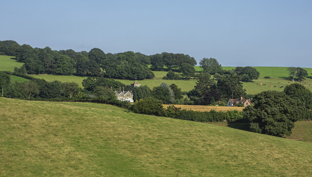
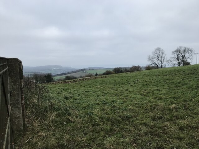
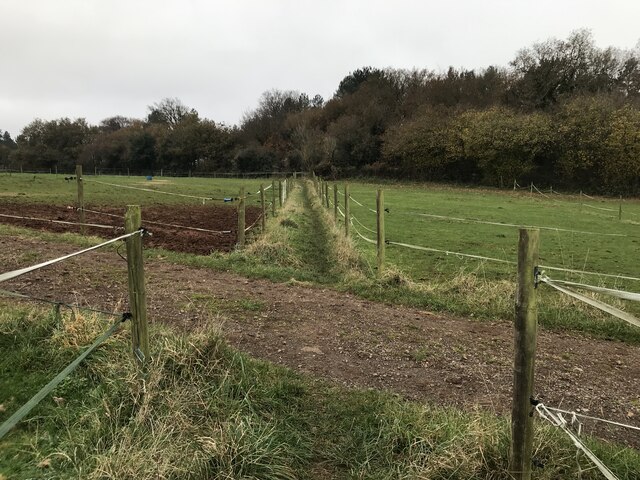
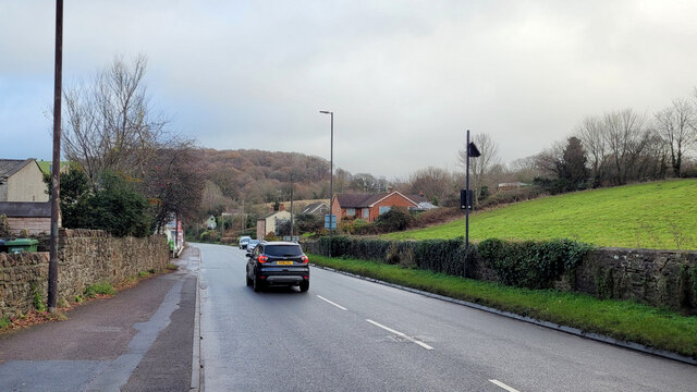
Church Hill is a prominent hill located in Gloucestershire, England. Standing at an elevation of approximately 250 meters above sea level, it is a notable landmark in the area. Situated in the Forest of Dean, Church Hill offers breathtaking panoramic views of the surrounding countryside, making it a popular destination for nature enthusiasts and hikers.

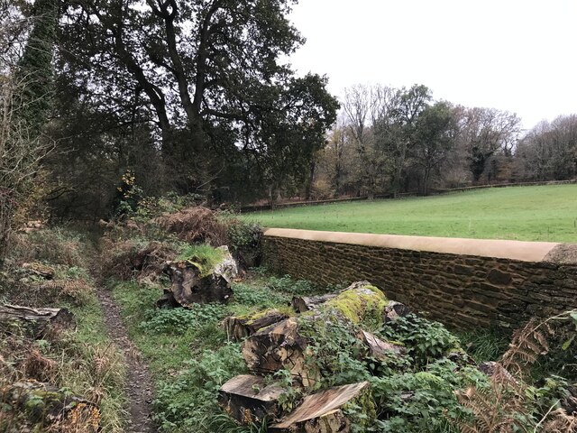
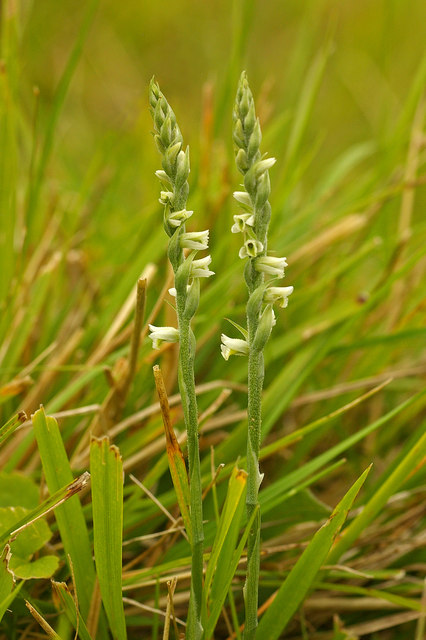
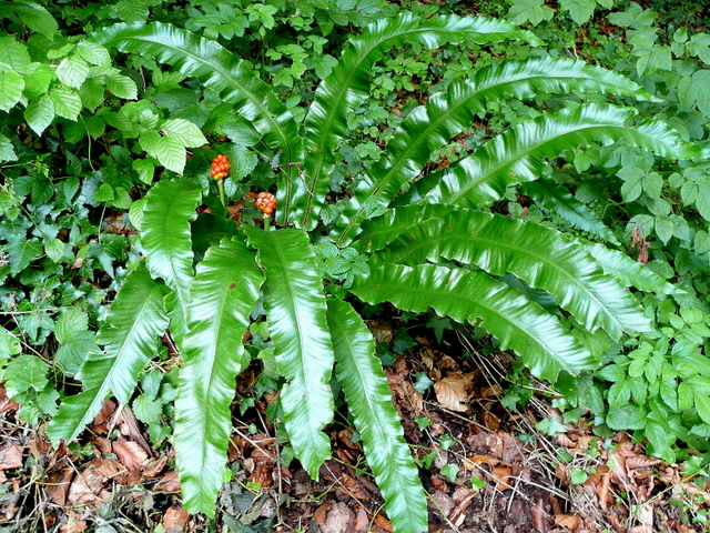
The hill is adorned with lush greenery and is home to a diverse range of flora and fauna. It is an important habitat for many bird species, and birdwatchers can often spot various avian species soaring through the skies. The hill's slopes are covered with ancient woodlands, adding to its natural beauty.

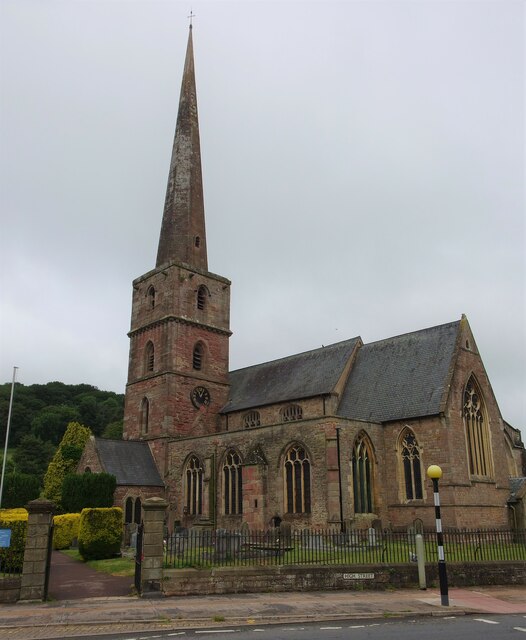
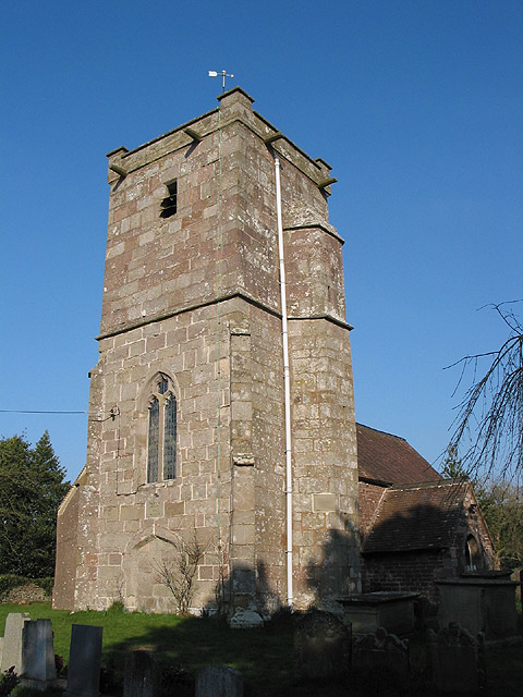
At the summit of Church Hill, there is a small church dedicated to St. Mary. This church, dating back to the 12th century, serves as a place of worship for locals and visitors alike. Its historic architecture and tranquil setting make it a peaceful spot for reflection and prayer.

Church Hill also holds historical significance as it was once a site of Iron Age settlements. Archaeological excavations have revealed remnants of ancient structures, pottery, and other artifacts, providing valuable insights into the region's past.

The hill is easily accessible, with well-maintained footpaths leading to the top. Visitors can enjoy a leisurely hike while taking in the stunning vistas and immersing themselves in the natural surroundings.

Overall, Church Hill in Gloucestershire offers a combination of natural beauty, historical significance, and recreational opportunities, making it a must-visit destination for those exploring the region.

If you have any feedback on the listing, please let us know in the comments section below.
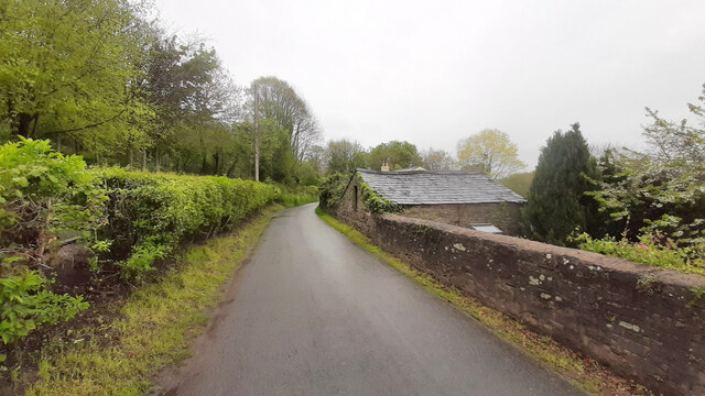
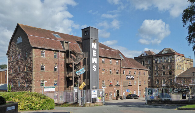
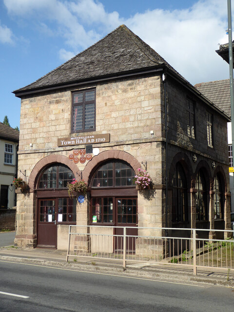
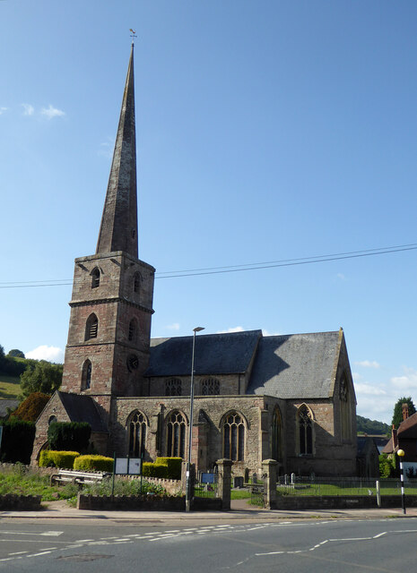
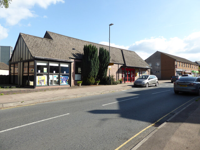
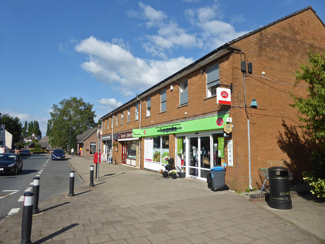
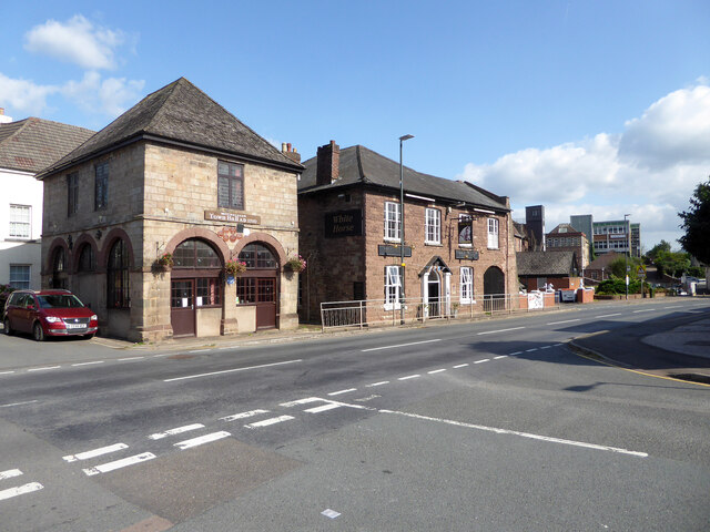
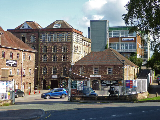
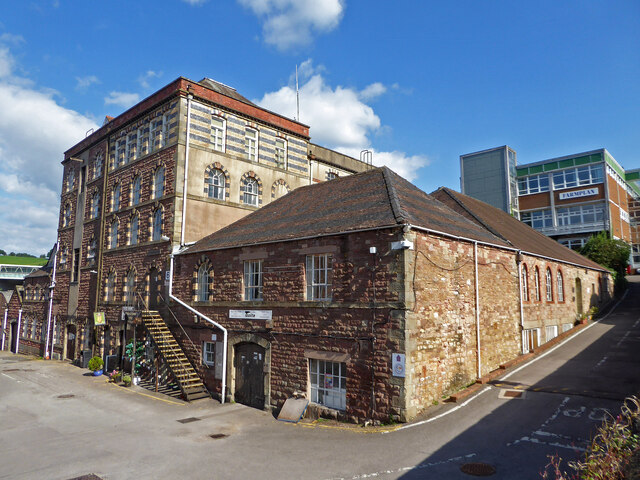
Church Hill Images

Images are sourced within 2km of 51.855098/-2.4956424 or Grid Reference SO6517. Thanks to Geograph Open Source API. All images are credited.

Jubilee Road, Mitcheldean Looking north towards Plump Hill.
Jubilee Road, Mitcheldean
Looking north towards Plump Hill.
Former brewery, Mitcheldean I was very surprised to find this unexpectedly while passing through. Initially owned by the Wintle family this brewery became the largest in the Forest of Dean in the 19th century. It was acquired by Cheltenham and Hereford Breweries in 1930. After 1930 it housed the wartime base of British Acoustic Films, later Rank Precision Industries. By 1960 manufacture of Rank Xerox photocopiers led to rapid expansion but decline followed in the 1980s-1990s. The site is now a large business village with these two buildings from the original brewery on the edge of a complex with multiple large buildings.
Former brewery, Mitcheldean
I was very surprised to find this unexpectedly while passing through. Initially owned by the Wintle family this brewery became the largest in the Forest of Dean in the 19th century. It was acquired by Cheltenham and Hereford Breweries in 1930. After 1930 it housed the wartime base of British Acoustic Films, later Rank Precision Industries. By 1960 manufacture of Rank Xerox photocopiers led to rapid expansion but decline followed in the 1980s-1990s. The site is now a large business village with these two buildings from the original brewery on the edge of a complex with multiple large buildings.
Town Hall, Mitcheldean Listed Grade II.
Town Hall, Mitcheldean
Listed Grade II.
Parish Church of St Michael and All Angels, Mitcheldean
Mitcheldean Library
Mitcheldean Library
Co-Operative food store and Post Office, Mitcheldean
Old town Hall  and The White Horse public house, Mitcheldean
Old town Hall and The White Horse public house, Mitcheldean
Former brewery, Mitcheldean I was very surprised to find this unexpectedly while passing through. Initially owned by the Wintle family this brewery became the largest in the Forest of Dean in the 19th century. It was acquired by Cheltenham and Hereford Breweries in 1930. After 1930 it housed the wartime base of British Acoustic Films, later Rank Precision Industries. By 1960 manufacture of Rank Xerox photocopiers led to rapid expansion but decline followed in the 1980s-1990s. The site is now a large business village with two buildings from the original brewery on the edge of a complex with multiple large buildings.
Former brewery, Mitcheldean
I was very surprised to find this unexpectedly while passing through. Initially owned by the Wintle family this brewery became the largest in the Forest of Dean in the 19th century. It was acquired by Cheltenham and Hereford Breweries in 1930. After 1930 it housed the wartime base of British Acoustic Films, later Rank Precision Industries. By 1960 manufacture of Rank Xerox photocopiers led to rapid expansion but decline followed in the 1980s-1990s. The site is now a large business village with two buildings from the original brewery on the edge of a complex with multiple large buildings.
View towards Abenhall Looking east from Jubilee Road with the tower of Abenhall church visible in the late afternoon sunshine.
View towards Abenhall
Looking east from Jubilee Road with the tower of Abenhall church visible in the late afternoon sunshine.
Church of St Michael and All Angels, Mitcheldean A large parish church with origins stretching back to 14th century and showing subsequent changes and restorations the last being in the 19th century.
The importance of this church was recognised with Grade I listing dating all the way back to 1955 by English Heritage.
Church of St Michael and All Angels, Mitcheldean
A large parish church with origins stretching back to 14th century and showing subsequent changes and restorations the last being in the 19th century. The importance of this church was recognised with Grade I listing dating all the way back to 1955 by English Heritage.
Grassy hillside
Grassy hillside
Between paddocks
Between paddocks
Overgrown pathway
Overgrown pathway
Repaired wall
Repaired wall
A4136 Gloucester Road, Mitcheldean A Sunday morning in December.
A4136 Gloucester Road, Mitcheldean
A Sunday morning in December.
Machinery in the woods Various pieces of equipment litter the woodland at the end of Jubilee Lane.
Machinery in the woods
Various pieces of equipment litter the woodland at the end of Jubilee Lane.
Deansway Road, Mitcheldean The village housing is dominated by the former Rank Xerox buildings which are now a huge sprawling business park.
Deansway Road, Mitcheldean
The village housing is dominated by the former Rank Xerox buildings which are now a huge sprawling business park.
Show me another place!

Church Hill is located at Grid Ref: SO6517 (Lat: 51.855098, Lng: -2.4956424)

Administrative County: Gloucestershire

District: Forest of Dean

Police Authority: Gloucestershire

What 3 Words

///workroom.crate.puppy. Near Mitcheldean, Gloucestershire

Related Wikis

Plump Hill Dolomite Quarry

Plump Hill Dolomite Quarry (grid reference SO661171) is a 4.5-hectare (11-acre) nature reserve in Gloucestershire in the Forest of Dean.The site is managed...

Edgehills Quarry

Edgehills Quarry (grid reference SO660167) is a 0.4-hectare (0.99-acre) geological Site of Special Scientific Interest in Gloucestershire, notified in...

Stenders Quarry

Stenders Quarry (grid reference SO659183) is a 2.8-hectare (6.9-acre) biological and geological Site of Special Scientific Interest in the Forest of Dean...

Dene Magna School

Dene Magna School is a secondary school in Mitcheldean, Gloucestershire, England. The school takes both girls and boys, and has 1005 pupils aged between...

Westbury Brook Ironstone Mine

Westbury Brook Ironstone Mine (grid reference SO662166) is a 15.69-hectare (38.8-acre) biological Site of Special Scientific Interest in Gloucestershire...

Abenhall

Abenhall is a small village and former civil parish, now in the parish of Mitcheldean, in the Forest of Dean district, in the county of Gloucestershire...

Mitcheldean

Mitcheldean is a market town in the Forest of Dean in Gloucestershire, England. == History == Mitcheldean was a thriving community for many centuries due...

Scully Grove Quarry

Scully Grove Quarry (grid reference SO657186) is a 0.4-hectare (0.99-acre) geological Site of Special Scientific Interest in Gloucestershire, England,...

Nearby Amenities

Located within 500m of 51.855098,-2.4956424
Plump Hill
Place: locality
Source: NPE+Wikipedia
Lat/Long: 51.8528433/-2.4904395
Man Made: sculpture
Lat/Long: 51.8588142/-2.4954765
Man Made: sculpture
Lat/Long: 51.8587793/-2.4954979
Man Made: sculpture
Lat/Long: 51.8589235/-2.4955757
Man Made: sculpture
Lat/Long: 51.8588307/-2.4955301
Man Made: sculpture
Lat/Long: 51.8588656/-2.4955516
Man Made: sculpture
Lat/Long: 51.8585227/-2.4952619
Man Made: sculpture
Lat/Long: 51.858781/-2.4954309
Power: pole
Source: Bing
Lat/Long: 51.8548513/-2.4970325
Power: pole
Source: Bing
Lat/Long: 51.8525437/-2.4997141
Power: pole
Source: Bing
Lat/Long: 51.8528391/-2.4993554
Power: pole
Source: Bing
Lat/Long: 51.8570982/-2.4983518
Power: pole
Source: Bing
Lat/Long: 51.8578288/-2.499074
Power: pole
Source: Bing
Lat/Long: 51.8563182/-2.4975502
Power: pole
Lat/Long: 51.8578424/-2.4993207
Power: pole
Lat/Long: 51.8557418/-2.499208
Power: pole
Lat/Long: 51.8539957/-2.5020673
Power: pole
Lat/Long: 51.8575343/-2.4997445
Power: pole
Lat/Long: 51.8585243/-2.491048
Power: pole
Lat/Long: 51.8585243/-2.4926841
Power: pole
Lat/Long: 51.8582344/-2.4941459
Power: pole
Lat/Long: 51.8579363/-2.495656
Power: pole
Lat/Long: 51.8575031/-2.496336
Location Transition: yes
Power: pole
Lat/Long: 51.857016/-2.4971379
Power: pole
Lat/Long: 51.8594156/-2.4971312
Power: pole
Lat/Long: 51.8592077/-2.4975631
Location Transition: yes
Power: pole
Transformer: distribution
Lat/Long: 51.8589029/-2.4982765
Power: pole
Lat/Long: 51.8524412/-2.5008316
Power: pole
Transformer: distribution
Lat/Long: 51.8571709/-2.4952309
Power: pole
Lat/Long: 51.8561355/-2.4953449
Power: pole
Transformer: distribution
Lat/Long: 51.8534617/-2.4949653
Power: pole
Lat/Long: 51.8540531/-2.4952322
Power: pole
Lat/Long: 51.8553967/-2.4958599
Power: pole
Lat/Long: 51.8557512/-2.4960288
Power: pole
Lat/Long: 51.8563807/-2.4963963
The data included in this document is from www.openstreetmap.org. The data is made available under ODbL.

Have you been to Church Hill?

Leave your review of Church Hill below (or comments, questions and feedback).