Cowie Hill
Hill, Mountain in Banffshire
Scotland
Cowie Hill
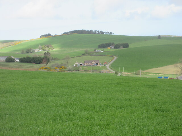
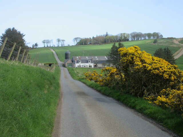
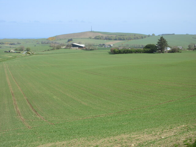
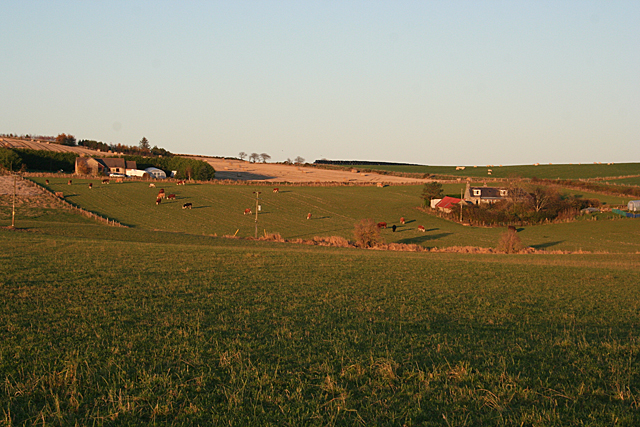
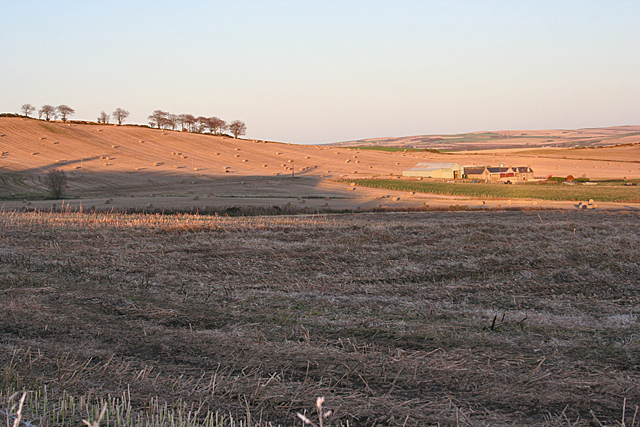
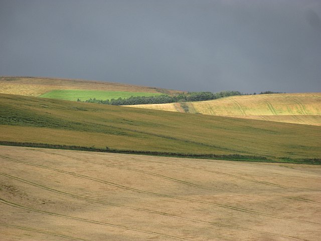
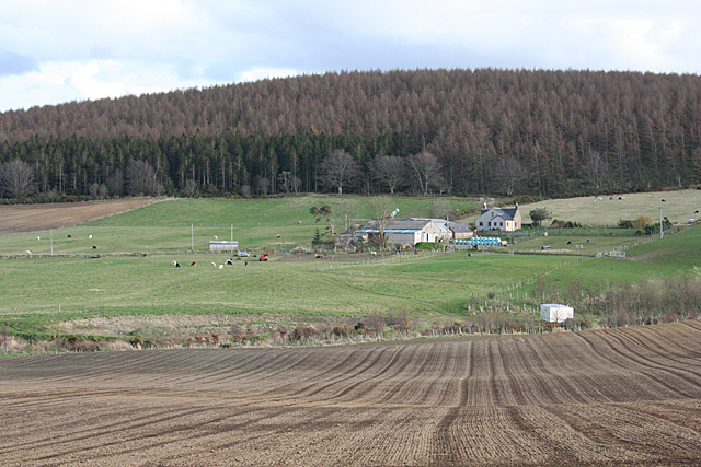
Cowie Hill is a prominent hill located in the county of Banffshire, Scotland. It is situated near the village of Cowie, which lies about 5 miles south of the town of Banff. Rising to an elevation of approximately 275 meters (902 feet), Cowie Hill offers stunning panoramic views of the surrounding countryside and the North Sea.
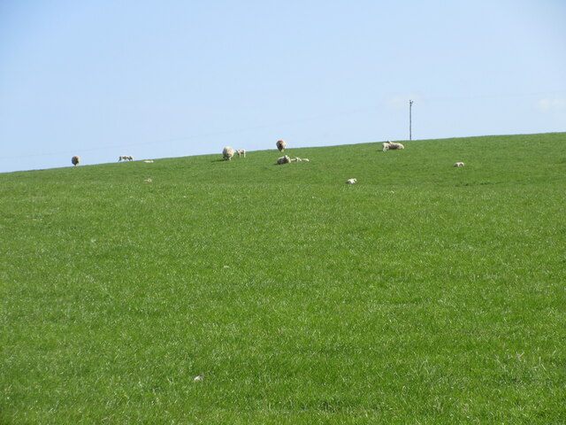
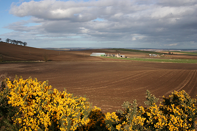
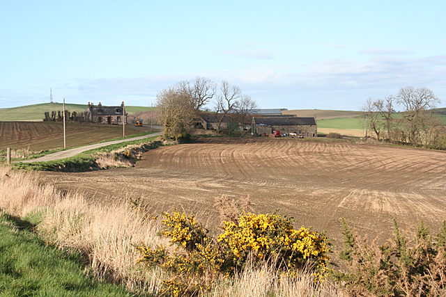
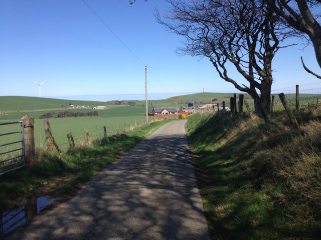
Covered in lush green vegetation, the hill is characterized by gentle slopes and is a popular destination for outdoor enthusiasts, hikers, and nature lovers. It is accessible via well-maintained footpaths that wind their way up the hill, providing visitors with an enjoyable and scenic ascent.
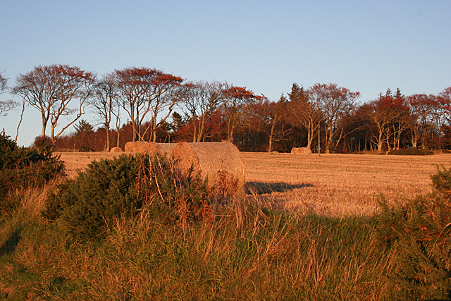
Cowie Hill is home to a diverse range of flora and fauna, including heather, gorse, and various species of wildflowers. It also serves as a habitat for a variety of bird species, making it an excellent spot for birdwatching. On a clear day, the summit of Cowie Hill offers breathtaking views of the surrounding landscape, including the picturesque coastline and the nearby rolling hills.
The hill is steeped in history and is believed to have been used as a defensive structure in ancient times. Remnants of an Iron Age fort can still be seen on its slopes, providing a glimpse into the area's rich past.
Cowie Hill is a popular destination for locals and tourists alike, offering a tranquil escape from the hustle and bustle of everyday life. Whether it's for a leisurely stroll, a challenging hike, or simply to enjoy the breathtaking scenery, Cowie Hill is a must-visit location in Banffshire.
If you have any feedback on the listing, please let us know in the comments section below.
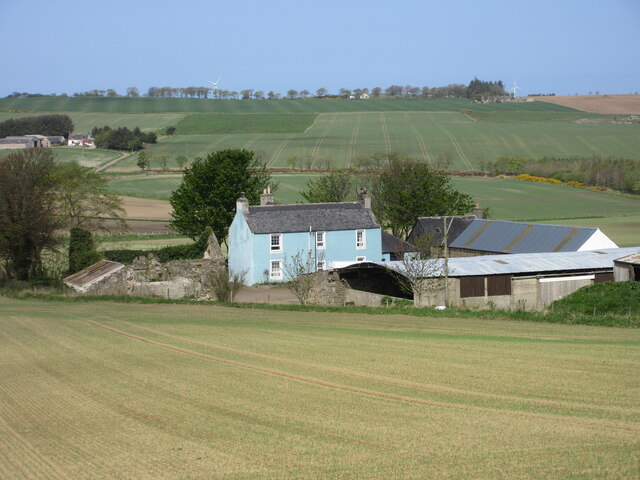
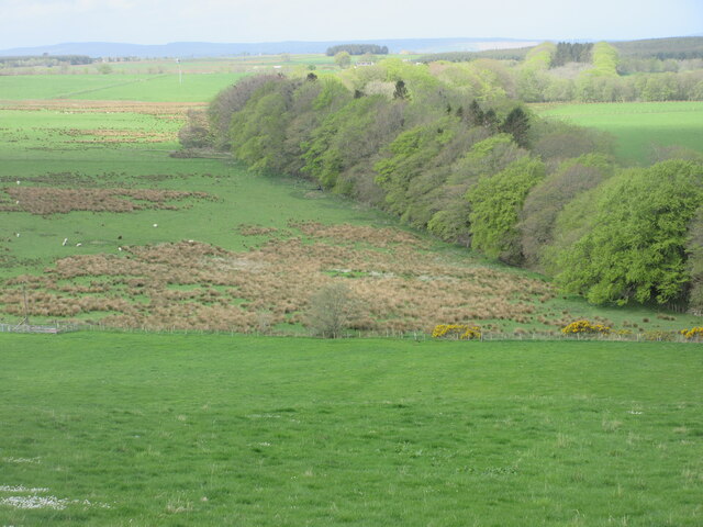
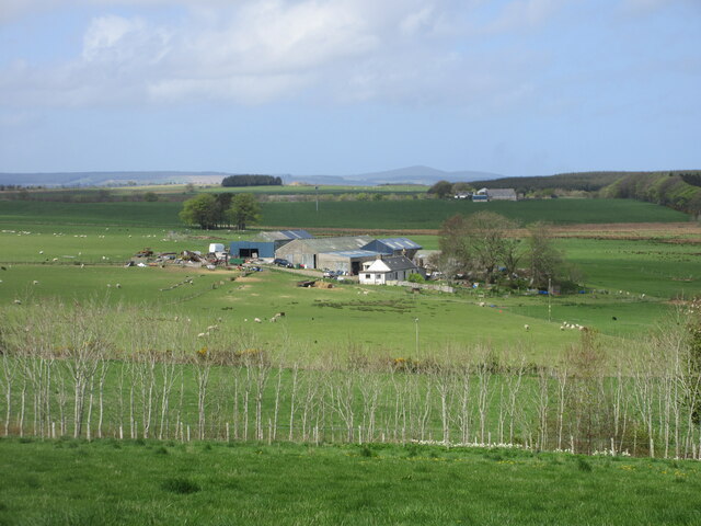
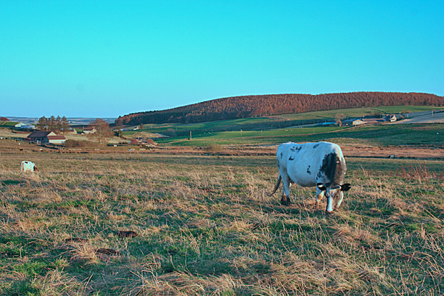
Cowie Hill Images
Images are sourced within 2km of 57.601708/-2.5712023 or Grid Reference NJ6556. Thanks to Geograph Open Source API. All images are credited.


Cowie Hill is located at Grid Ref: NJ6556 (Lat: 57.601708, Lng: -2.5712023)
Unitary Authority: Aberdeenshire
Police Authority: North East
What 3 Words
///envisage.housework.bunks. Near Aberchirder, Aberdeenshire
Nearby Locations
Related Wikis
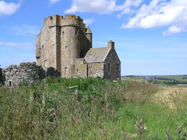
Inchdrewer Castle
Inchdrewer Castle is a 16th-century tower house in the parish of Banff, Aberdeenshire, in the north-east of Scotland. Situated on a slight rise 3.5 miles...

Eden Castle
Eden Castle is a castle near Banff in Aberdeenshire, Scotland. The castle was built in the latter half of the 16th century by the Meldrum family with renovation...

King Edward railway station
King Edward railway station was a railway station at King Edward, King Edward Parish, Aberdeenshire, Scotland on the rural branchline to Macduff. It was...
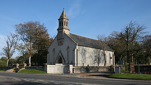
King Edward, Aberdeenshire
King Edward (Gaelic: Cinn Eadar) is a small village, parish and former feudal barony near the north coast of Scotland in Buchan midway between Turriff...
Nearby Amenities
Located within 500m of 57.601708,-2.5712023Have you been to Cowie Hill?
Leave your review of Cowie Hill below (or comments, questions and feedback).