Hollybush Hill
Hill, Mountain in Gloucestershire Forest of Dean
England
Hollybush Hill
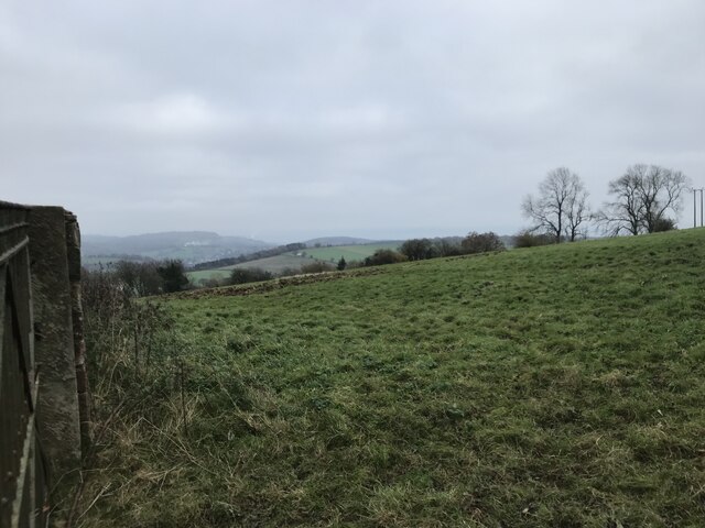
Hollybush Hill is a prominent geographical feature located in Gloucestershire, England. Standing at an elevation of approximately 220 meters (720 feet), it is classified as a hill rather than a mountain. Situated in the picturesque Cotswolds region, Hollybush Hill offers stunning panoramic views of the surrounding countryside.
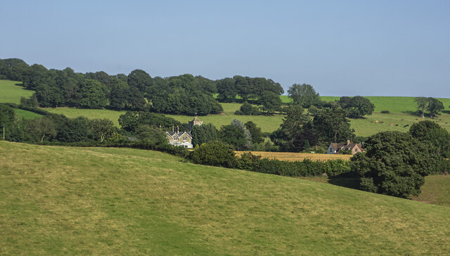
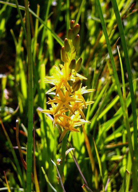
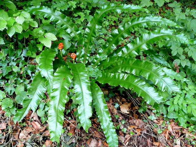
The hill is characterized by its distinctive shape, with a gentle slope on one side and a steeper incline on the other. It is covered in lush greenery, with a variety of trees and shrubs adorning its slopes, including holly bushes from which it derives its name. This verdant landscape makes Hollybush Hill a popular spot for nature lovers and hikers, who often explore its winding paths and trails.
The hill is also steeped in history, with evidence of human activity dating back thousands of years. Archaeological discoveries have revealed the presence of Iron Age settlements and Roman artifacts in the vicinity, adding to its cultural significance. Additionally, Hollybush Hill is home to a number of ancient burial mounds, known as tumuli, further highlighting its historical importance.
Due to its elevated position, Hollybush Hill offers breathtaking vistas across Gloucestershire and beyond. On clear days, visitors can enjoy panoramic views of the Cotswold Hills, the Severn Vale, and even the distant Malvern Hills. It is particularly popular during sunrise and sunset when the sky is ablaze with vibrant colors, creating a truly mesmerizing experience.
Overall, Hollybush Hill in Gloucestershire is a captivating natural landmark, combining its scenic beauty with a rich historical heritage. Whether one is seeking outdoor adventures, historical exploration, or simply a tranquil escape, this hill offers a serene and captivating destination.
If you have any feedback on the listing, please let us know in the comments section below.
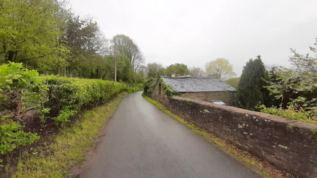
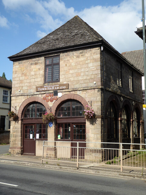
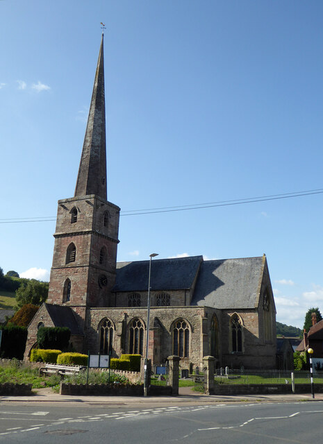
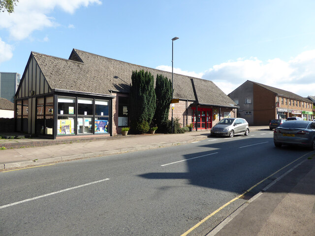
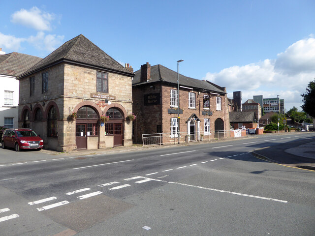
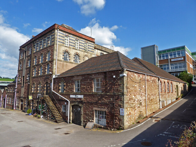
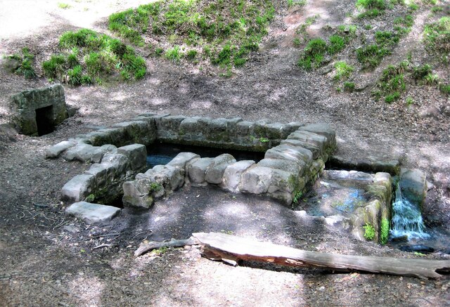
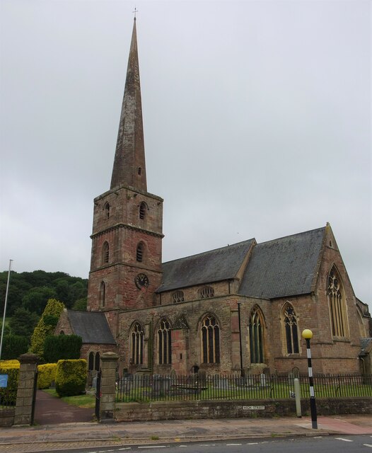
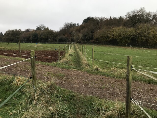
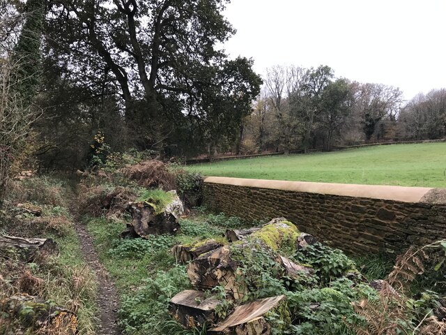
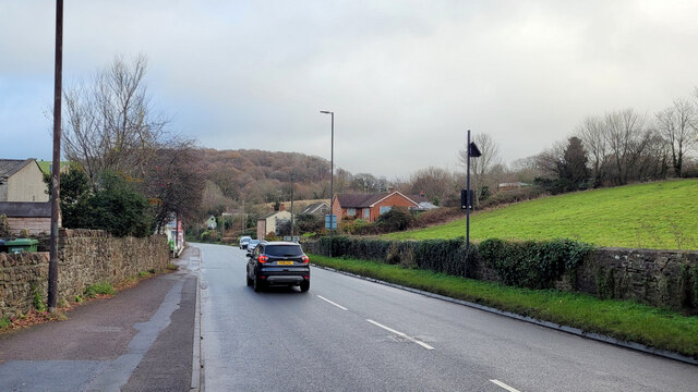
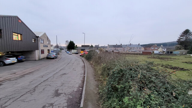
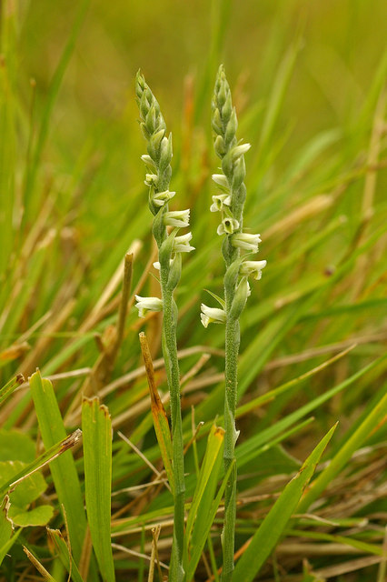
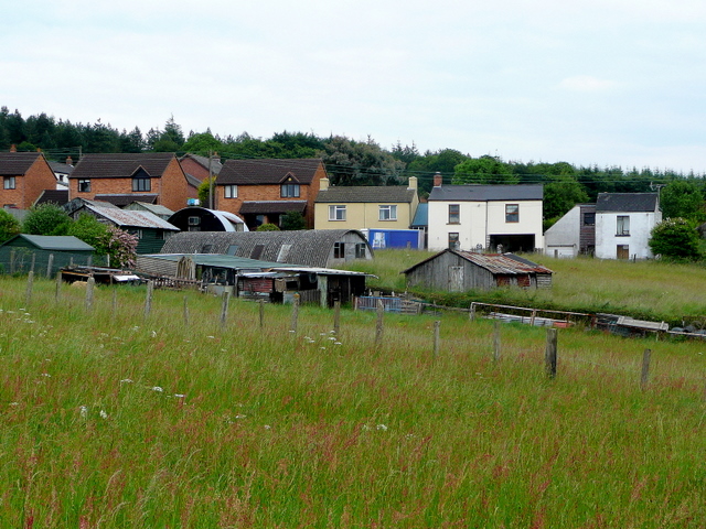
Hollybush Hill Images
Images are sourced within 2km of 51.850762/-2.5025924 or Grid Reference SO6517. Thanks to Geograph Open Source API. All images are credited.


Hollybush Hill is located at Grid Ref: SO6517 (Lat: 51.850762, Lng: -2.5025924)
Administrative County: Gloucestershire
District: Forest of Dean
Police Authority: Gloucestershire
What 3 Words
///parrot.timer.less. Near Drybrook, Gloucestershire
Nearby Locations
Related Wikis

Edgehills Quarry
Edgehills Quarry (grid reference SO660167) is a 0.4-hectare (0.99-acre) geological Site of Special Scientific Interest in Gloucestershire, notified in...
Plump Hill Dolomite Quarry
Plump Hill Dolomite Quarry (grid reference SO661171) is a 4.5-hectare (11-acre) nature reserve in Gloucestershire in the Forest of Dean.The site is managed...
Harrow Hill, Gloucestershire
Harrow Hill is a village situated in the Forest of Dean in Gloucestershire, England. It is contiguous with the larger village of Drybrook. Originally,...

Westbury Brook Ironstone Mine
Westbury Brook Ironstone Mine (grid reference SO662166) is a 15.69-hectare (38.8-acre) biological Site of Special Scientific Interest in Gloucestershire...

Nailbridge Halt railway station
Nailbridge Halt railway station served the suburb of Nailbridge, Gloucestershire, England, from 1907 to 1930 on the Mitcheldean Road and Forest of Dean...
Mitcheldean Meend Marsh
Mitcheldean Meend Marsh (grid reference SO647180) is a 0.7-hectare (1.7-acre) nature reserve in Gloucestershire in the Forest of Dean. The site is listed...
Stenders Quarry
Stenders Quarry (grid reference SO659183) is a 2.8-hectare (6.9-acre) biological and geological Site of Special Scientific Interest in the Forest of Dean...

Drybrook Halt railway station
Drybrook Halt railway station served the village of Drybrook, Gloucestershire, England, from 1907 to 1930 on the Mitcheldean Road & Forest of Dean Junction...
Nearby Amenities
Located within 500m of 51.850762,-2.5025924Have you been to Hollybush Hill?
Leave your review of Hollybush Hill below (or comments, questions and feedback).