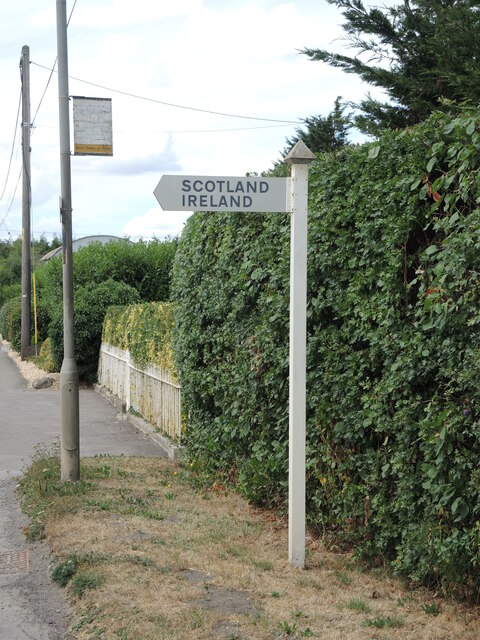
Ireland

Settlement in Wiltshire

England

Ireland

Road to Norleaze, Near Heywood A single track No Through Road.
Road to Norleaze, Near Heywood Credit: Julian P Guffogg

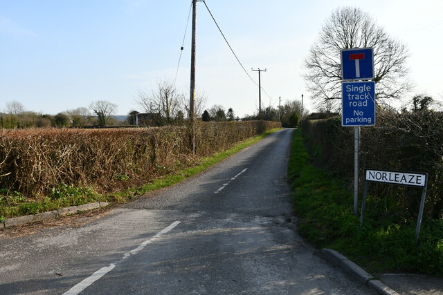
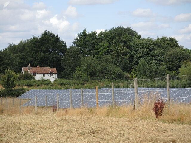
Ireland, Wiltshire is a small village located in the county of Wiltshire, England. Situated approximately 3 miles southeast of the town of Pewsey, Ireland is a rural community with a population of around 400 residents.

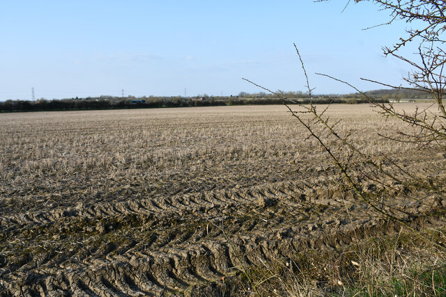
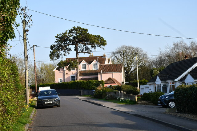
The village is nestled in the picturesque Pewsey Vale, surrounded by rolling hills and lush green countryside. It offers a tranquil and idyllic setting, making it an attractive place for those seeking a peaceful and close-knit community.

Ireland is known for its rich heritage and history. The village dates back to medieval times and still retains some of its original architecture, including the 13th-century St. John the Baptist Church. This ancient church is a significant landmark and a testament to the village's long-standing presence.

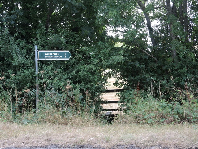
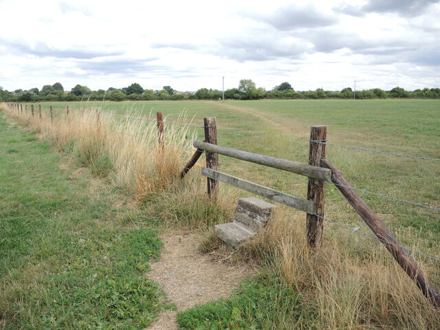
The village also benefits from its proximity to the Pewsey Downs National Nature Reserve, a designated Area of Outstanding Natural Beauty. This allows residents and visitors to explore the stunning landscapes, go on scenic walks, and enjoy outdoor activities such as hiking and birdwatching.

Despite its small size, Ireland has a strong community spirit, with several local events and activities taking place throughout the year. The village hosts an annual summer fete, which brings together residents and visitors for a day of fun and celebration.

In terms of amenities, Ireland has a local pub and a primary school, ensuring that the basic needs of its residents are met. For additional services and facilities, the nearby town of Pewsey offers a wider range of options, including shops, supermarkets, and healthcare facilities.

Overall, Ireland, Wiltshire is a charming village that offers a peaceful countryside lifestyle, rich history, and stunning natural surroundings.

If you have any feedback on the listing, please let us know in the comments section below.
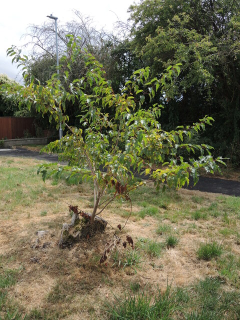
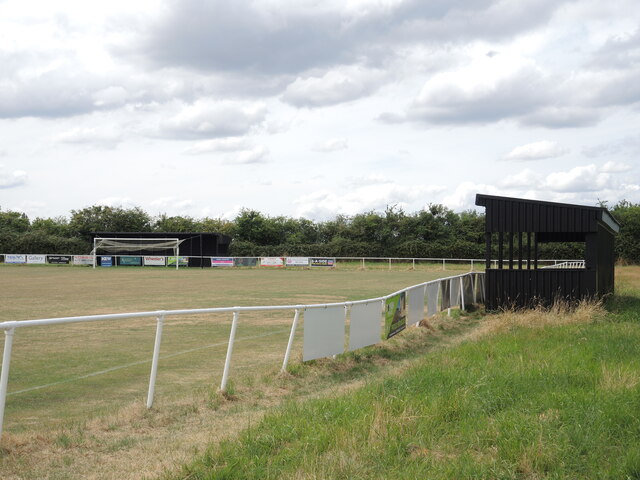
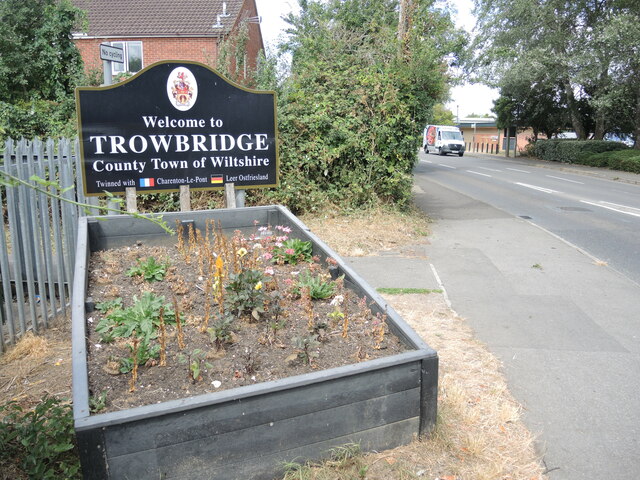
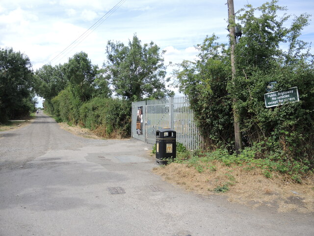
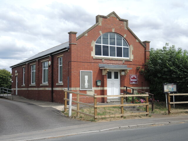
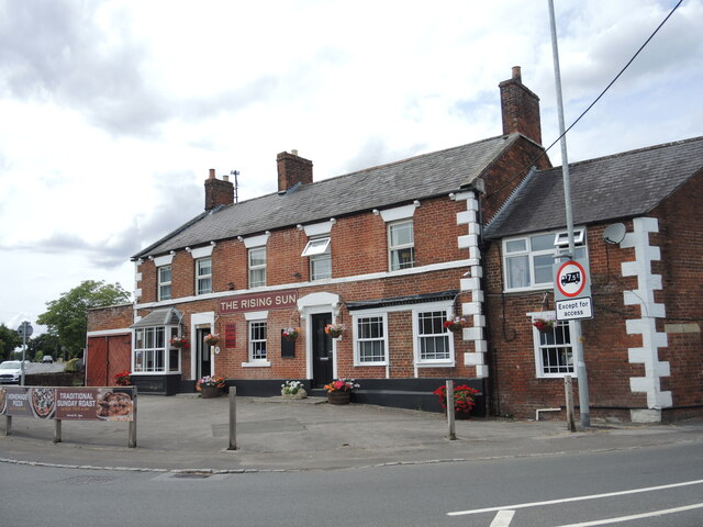
Ireland Images

Images are sourced within 2km of 51.290365/-2.218522 or Grid Reference ST8454. Thanks to Geograph Open Source API. All images are credited.

Road to Norleaze, Near Heywood A single track No Through Road.
Road to Norleaze, Near Heywood
A single track No Through Road.
Field near Dursley A footpath runs to the left out of shot.
Field near Dursley
A footpath runs to the left out of shot.
The Old Vicarage, Heywood Now painted a fetching pink colour.
The Old Vicarage, Heywood
Now painted a fetching pink colour.
Footpath from Southwick Road Handily showing the distances as well as the direction.
Footpath from Southwick Road
Handily showing the distances as well as the direction.
Around the islands via North Bradley Some far flung places in rural Wiltshire. For the record, Ireland is small hamlet a short way south, and just along from that lane is Scotland House.
Around the islands via North Bradley
Some far flung places in rural Wiltshire. For the record, Ireland is small hamlet a short way south, and just along from that lane is Scotland House.
Left by the margin Some agricultural ironmongery at the edge of a shorn field.
Left by the margin
Some agricultural ironmongery at the edge of a shorn field.
Southwick solar farm A large installation near the village, occupying the flatter lands here.
Southwick solar farm
A large installation near the village, occupying the flatter lands here.
Footpath junction on Axe and Cleaver Lane The bridleway is crossed by a footpath at this point near the solar farm.
Footpath junction on Axe and Cleaver Lane
The bridleway is crossed by a footpath at this point near the solar farm.
The solar farm near Knapp's Cottage The farm is bisected by the footpath that leads to the cottage.
The solar farm near Knapp's Cottage
The farm is bisected by the footpath that leads to the cottage.
Path crossing the fence The footpaths crossing the land around Southwick and North Bradley are numerous and are helped by a few stones.
Path crossing the fence
The footpaths crossing the land around Southwick and North Bradley are numerous and are helped by a few stones.
A footbridge between the houses and the fields This footbridge crosses the Lambrok Stream, and in so doing marks the end of the open fields and the edge of the modern housing estate of Upper Studley. Note that it has a barrier in the middle with access for animals.
A footbridge between the houses and the fields
This footbridge crosses the Lambrok Stream, and in so doing marks the end of the open fields and the edge of the modern housing estate of Upper Studley. Note that it has a barrier in the middle with access for animals.
Gas installation on Marston Road Marked as an electricity substation on the map, it is clearly a gas utility.
Gas installation on Marston Road
Marked as an electricity substation on the map, it is clearly a gas utility.
Regrowing from a stump A tree stump in a small grass plot in front of the houses is not dead!
Regrowing from a stump
A tree stump in a small grass plot in front of the houses is not dead!
Home of The Bees Trowbridge Town F.C. play at the Daykin Estates Ground and the first XI play in the Wiltshire League.
Home of The Bees
Trowbridge Town F.C. play at the Daykin Estates Ground and the first XI play in the Wiltshire League.
Welcome to Trowbridge Visitors to the southern approach to the town will be greeted by this planter. The flowers appear to be between seasons. The roundabout is a modern creation that took away Honeyball Farm, which is now a retail place car park.
Welcome to Trowbridge
Visitors to the southern approach to the town will be greeted by this planter. The flowers appear to be between seasons. The roundabout is a modern creation that took away Honeyball Farm, which is now a retail place car park.
Entrance to Axe and Cleaver Lane Apart from an entrance to Trowbridge Town F.C. the bridleway carries on around the north and west of North Bradley. The name seems to be based on cottages and a farm named Axe and Cleaver that were further down the lane. Neither exist now.
Entrance to Axe and Cleaver Lane
Apart from an entrance to Trowbridge Town F.C. the bridleway carries on around the north and west of North Bradley. The name seems to be based on cottages and a farm named Axe and Cleaver that were further down the lane. Neither exist now.
North Bradley Progressive Hall The hall was a publicly-funded venture, benefiting from a gift of the land by a Mr Hancock. A committee was charged with its management from the opening in 1912.
North Bradley Progressive Hall
The hall was a publicly-funded venture, benefiting from a gift of the land by a Mr Hancock. A committee was charged with its management from the opening in 1912.
The Rising Sun. North Bradley Standing at the junction of Woodmarsh, Westbury Road and Southwick Road, the pub has been here for well over a century. Back then it had only a few cottages for neighbours.
The Rising Sun. North Bradley
Standing at the junction of Woodmarsh, Westbury Road and Southwick Road, the pub has been here for well over a century. Back then it had only a few cottages for neighbours.
Show me another place!

Ireland is located at Grid Ref: ST8454 (Lat: 51.290365, Lng: -2.218522)

Unitary Authority: Wiltshire

Police Authority: Wiltshire

What 3 Words

///snoring.liver.telephone. Near North Bradley, Wiltshire

Nearby Locations

Pole's Hole Ireland

Related Wikis

North Bradley

North Bradley is a village and civil parish in Wiltshire, England, between Trowbridge and Westbury. The village is about 1.75 miles (2.8 km) south of Trowbridge...

Brook, Heywood

Brook in the parish of Heywood, north of Westbury in Wiltshire, England, is an historic estate. It was the seat of Robert Willoughby, 1st Baron Willoughby...

Southwick Court

Southwick Court is a Grade II* listed moated medieval manor house at the centre of a system of fields and water meadows that lie between the town of Trowbridge...

Southwick, Wiltshire

Southwick is a semi-rural village and civil parish 3 miles (4.8 km) south-west of the county town of Trowbridge, Wiltshire, England. It is separated from...

Nearby Amenities

Located within 500m of 51.290365,-2.218522
Material: wood
Power: pole
Lat/Long: 51.2881881/-2.2247019
Material: wood
Power: pole
Lat/Long: 51.2890134/-2.223385
Material: wood
Power: pole
Lat/Long: 51.293086/-2.2188789
Material: wood
Power: pole
Lat/Long: 51.2937787/-2.2160706
Material: wood
Power: pole
Lat/Long: 51.2937234/-2.2172105
Material: wood
Power: pole
Lat/Long: 51.29372/-2.2183612
Material: wood
Power: pole
Lat/Long: 51.2938005/-2.2192758
Material: wood
Power: pole
Lat/Long: 51.2938861/-2.2202012
Material: wood
Power: pole
Lat/Long: 51.2939968/-2.2211453
Material: wood
Power: pole
Lat/Long: 51.2888674/-2.2202656
Material: wood
Power: pole
Lat/Long: 51.2881981/-2.2181225
Material: wood
Power: pole
Lat/Long: 51.2876983/-2.2164917
Material: wood
Power: pole
Lat/Long: 51.2871011/-2.2146785
The data included in this document is from www.openstreetmap.org. The data is made available under ODbL.

Have you been to Ireland?

Leave your review of Ireland below (or comments, questions and feedback).