Pole's Hole

Settlement in Wiltshire

England

Pole's Hole

Green with Trees - North Bradley
Green with Trees - North Bradley Credit: Anthony Parkes

Pole's Hole is a small village located in the county of Wiltshire, England. Situated in the picturesque countryside, it is known for its charming and idyllic setting. The village is nestled in a valley, surrounded by rolling hills and lush green fields, offering breathtaking views of the Wiltshire Downs.

The origins of the name "Pole's Hole" are somewhat mysterious, with various theories suggesting it may be derived from an old English word meaning "deep valley." The village has a rich history, dating back centuries, and is believed to have been inhabited since Roman times. There are several ancient landmarks in the area, including a Neolithic burial mound known as "Pole's Barrow," which adds to the village's historical significance.

The village itself is quaint and peaceful, with a close-knit community that prides itself on maintaining its traditional character. The architecture reflects its heritage, with many charming thatched cottages and stone houses dotting the streets. The village also boasts a beautiful church, St. Mary's, which dates back to the 12th century and is a popular attraction for visitors.

Despite its small size, Pole's Hole has a strong sense of community spirit and offers a range of amenities for its residents. These include a village hall, a local pub, and a primary school. The surrounding countryside provides ample opportunities for outdoor activities, such as hiking, cycling, and horse riding.

Overall, Pole's Hole is a hidden gem in Wiltshire, offering a tranquil escape from the hustle and bustle of modern life. Its picturesque setting, rich history, and strong sense of community make it a truly charming place to visit or call home.

If you have any feedback on the listing, please let us know in the comments section below.
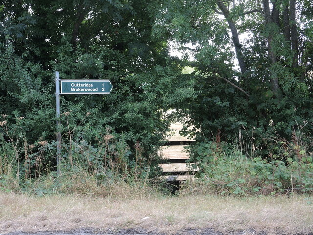
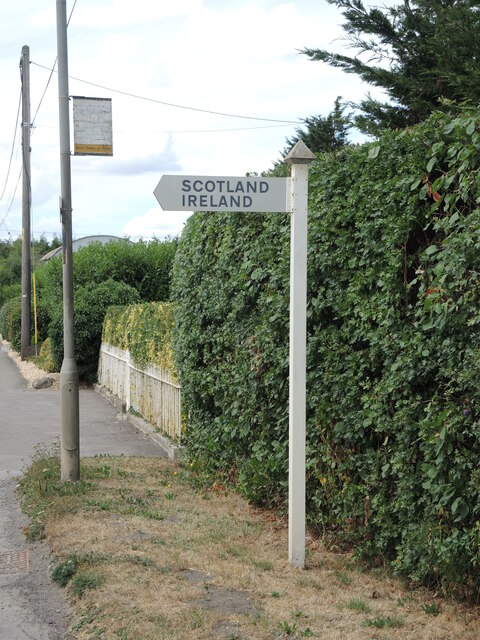
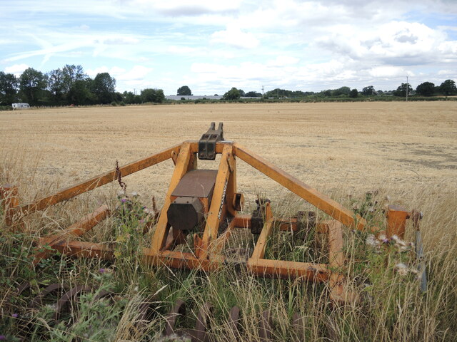
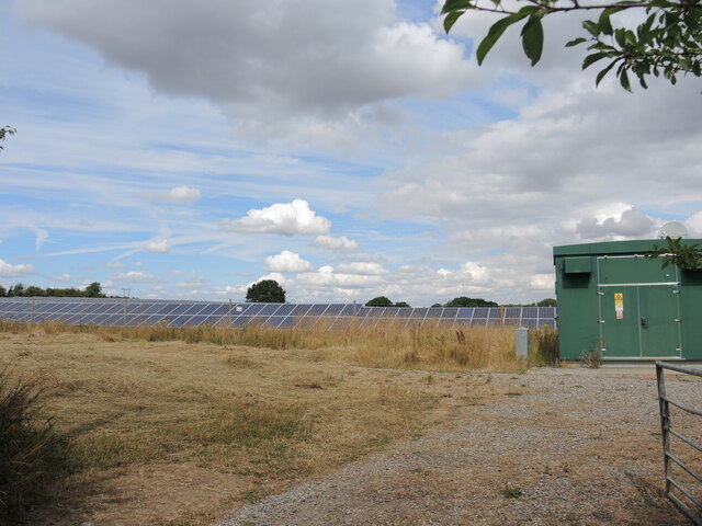
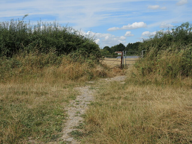
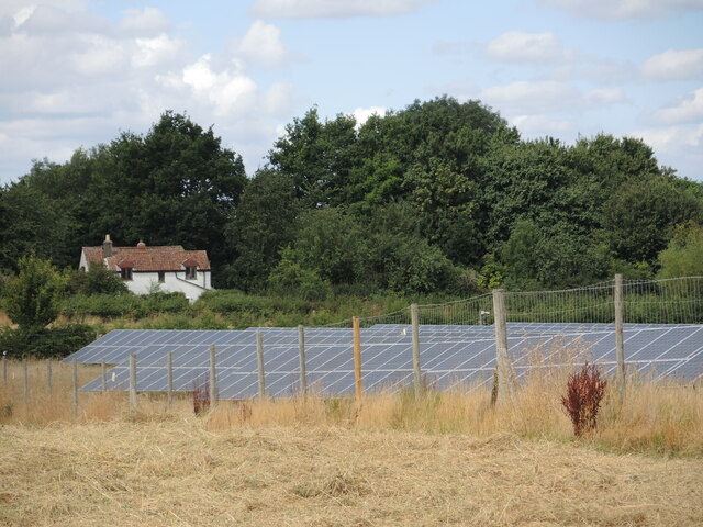
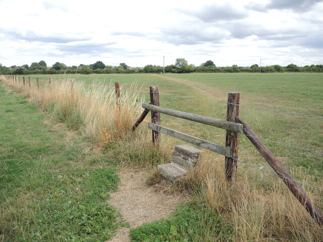
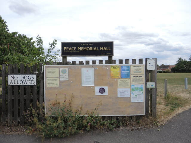
Pole's Hole Images

Images are sourced within 2km of 51.28491/-2.2308046 or Grid Reference ST8454. Thanks to Geograph Open Source API. All images are credited.

Green with Trees - North Bradley
Brokerswood Road
Brokerswood Road
The Church of St Thomas - Southwick
Electricity Powerlines at Whittaker's Farm
Footpath from Southwick Road Handily showing the distances as well as the direction.
Footpath from Southwick Road
Handily showing the distances as well as the direction.
Around the islands via North Bradley Some far flung places in rural Wiltshire. For the record, Ireland is small hamlet a short way south, and just along from that lane is Scotland House.
Around the islands via North Bradley
Some far flung places in rural Wiltshire. For the record, Ireland is small hamlet a short way south, and just along from that lane is Scotland House.
Left by the margin Some agricultural ironmongery at the edge of a shorn field.
Left by the margin
Some agricultural ironmongery at the edge of a shorn field.
Southwick solar farm A large installation near the village, occupying the flatter lands here.
Southwick solar farm
A large installation near the village, occupying the flatter lands here.
Footpath junction on Axe and Cleaver Lane The bridleway is crossed by a footpath at this point near the solar farm.
Footpath junction on Axe and Cleaver Lane
The bridleway is crossed by a footpath at this point near the solar farm.
The solar farm near Knapp's Cottage The farm is bisected by the footpath that leads to the cottage.
The solar farm near Knapp's Cottage
The farm is bisected by the footpath that leads to the cottage.
Path crossing the fence The footpaths crossing the land around Southwick and North Bradley are numerous and are helped by a few stones.
Path crossing the fence
The footpaths crossing the land around Southwick and North Bradley are numerous and are helped by a few stones.
Notice board on the entrance to the Peace Memorial grounds Plenty to read: some warning notices, some activity adverts and, in the middle, is a letter from the Queen regarding the Jubilee Lunches events.
Notice board on the entrance to the Peace Memorial grounds
Plenty to read: some warning notices, some activity adverts and, in the middle, is a letter from the Queen regarding the Jubilee Lunches events.
The tower of St Nicholas, North Bradley A view of the fine tower in the west end of the church. At its base is a benchmark - see <a href="https://www.geograph.org.uk/photo/7281570">ST8554 : Benchmark on St Nicolas, North Bradley</a>.
The tower of St Nicholas, North Bradley
A view of the fine tower in the west end of the church. At its base is a benchmark - see ST8554 : Benchmark on St Nicolas, North Bradley.
Benchmark on St Nicolas, North Bradley A nineteenth century cutmark can be found at the base of the tower, south facing. See <span class="nowrap"><a title="https://www.bench-marks.org.uk/bm105348" rel="nofollow ugc noopener" href="https://www.bench-marks.org.uk/bm105348">Link</a><img style="margin-left:2px;" alt="External link" title="External link - shift click to open in new window" src="https://s1.geograph.org.uk/img/external.png" width="10" height="10"/></span> for the entry in the Benchmark Database and <a href="https://www.geograph.org.uk/photo/7281567">ST8554 : The tower of St Nicholas, North Bradley</a> for a look at the tower.
Benchmark on St Nicolas, North Bradley
A nineteenth century cutmark can be found at the base of the tower, south facing. See LinkExternal link for the entry in the Benchmark Database and ST8554 : The tower of St Nicholas, North Bradley for a look at the tower.
Peace Memorial hall and playing field The main hall and part of the playing fields, located on the Southwick Road. See <a href="https://www.geograph.org.uk/photo/7281610">ST8555 : Peace Hall plaque</a> for a plaque.
Peace Memorial hall and playing field
The main hall and part of the playing fields, located on the Southwick Road. See ST8555 : Peace Hall plaque for a plaque.
Peace Hall plaque Along with some important kit and flowers, the hall bears this plaque. It relates how the trust was founded in 1944 for returning servicemen, with the hall and fields created in 1951.
Peace Hall plaque
Along with some important kit and flowers, the hall bears this plaque. It relates how the trust was founded in 1944 for returning servicemen, with the hall and fields created in 1951.
North Bradley village pound A small enclosure on the Southwick Road has been retained as a historical feature. When farm livestock escaped they were rounded up and kept in this pound before their owners returned.

Whilst the pound is no longer in use it has a concrete information display, showing a map of the parish area which includes the churches and pubs.
North Bradley village pound
A small enclosure on the Southwick Road has been retained as a historical feature. When farm livestock escaped they were rounded up and kept in this pound before their owners returned. Whilst the pound is no longer in use it has a concrete information display, showing a map of the parish area which includes the churches and pubs.
Royal connections on Southwick Road The smallish patch of green still remaining in North Bradley is a pleasant open space with some historic trees. The large specimen was planted in 1897 to mark Queen Victoria's Diamond Jubilee; the smaller one behind it was planted to commemorate the coronation of Queen Elizabeth II in 1953.

Beyond is a cottage that was once the post office, and beyond again (out of shot) were the two pubs, named the Old Ring of Bells Inn and the other the New Ring of Bells Inn. Both have been closed.
Royal connections on Southwick Road
The smallish patch of green still remaining in North Bradley is a pleasant open space with some historic trees. The large specimen was planted in 1897 to mark Queen Victoria's Diamond Jubilee; the smaller one behind it was planted to commemorate the coronation of Queen Elizabeth II in 1953. Beyond is a cottage that was once the post office, and beyond again (out of shot) were the two pubs, named the Old Ring of Bells Inn and the other the New Ring of Bells Inn. Both have been closed.
Show me another place!

Pole's Hole is located at Grid Ref: ST8454 (Lat: 51.28491, Lng: -2.2308046)

Unitary Authority: Wiltshire

Police Authority: Wiltshire

What 3 Words

///limelight.bags.keen. Near Southwick, Wiltshire

Nearby Locations

Ireland Pole's Hole

Related Wikis

Brook, Heywood

Brook in the parish of Heywood, north of Westbury in Wiltshire, England, is an historic estate. It was the seat of Robert Willoughby, 1st Baron Willoughby...

Southwick, Wiltshire

Southwick is a semi-rural village and civil parish 3 miles (4.8 km) south-west of the county town of Trowbridge, Wiltshire, England. It is separated from...

Southwick Court

Southwick Court is a Grade II* listed moated medieval manor house at the centre of a system of fields and water meadows that lie between the town of Trowbridge...

North Bradley

North Bradley is a village and civil parish in Wiltshire, England, between Trowbridge and Westbury. The village is about 1.75 miles (2.8 km) south of Trowbridge...

Nearby Amenities

Located within 500m of 51.28491,-2.2308046
Material: wood
Power: pole
Lat/Long: 51.28284/-2.2369516
Material: wood
Power: pole
Lat/Long: 51.2833467/-2.2357178
Material: wood
Power: pole
Lat/Long: 51.2841251/-2.2337061
Material: wood
Power: pole
Lat/Long: 51.2844203/-2.2328907
Material: wood
Power: pole
Lat/Long: 51.2850226/-2.2314665
Material: wood
Power: pole
Lat/Long: 51.2853799/-2.2305813
Material: wood
Power: pole
Lat/Long: 51.285754/-2.2296077
Material: wood
Power: pole
Lat/Long: 51.286467/-2.2277918
Material: wood
Power: pole
Lat/Long: 51.2873208/-2.2256649
Crossing
Lat/Long: 51.2868364/-2.2309796
The data included in this document is from www.openstreetmap.org. The data is made available under ODbL.

Have you been to Pole's Hole?

Leave your review of Pole's Hole below (or comments, questions and feedback).