Ireland

Settlement in Orkney

Scotland

Ireland

Sheep grazing at Settersquoy A blustery Hoy Sound in the distance.
Sheep grazing at Settersquoy Credit: Alan Reid

Ireland is a country located in Western Europe, occupying most of the island of Ireland. It is bordered by the Atlantic Ocean to the west, the Celtic Sea to the south, and the Irish Sea to the east. The country has a population of approximately 4.9 million people, with Dublin as its capital and largest city.

Known for its stunning landscapes and rich history, Ireland offers a diverse range of attractions. From the dramatic cliffs of Moher to the picturesque countryside of County Kerry, the country's natural beauty is truly captivating. Ireland is also famous for its ancient castles, such as the iconic Blarney Castle and the medieval fortress of Bunratty Castle.

Additionally, Ireland has a vibrant culture deeply rooted in music, literature, dance, and folklore. Traditional Irish music, characterized by its distinctive fiddle and flute tunes, can be enjoyed in pubs across the country. The Irish people are known for their warm and friendly nature, making visitors feel welcome wherever they go.

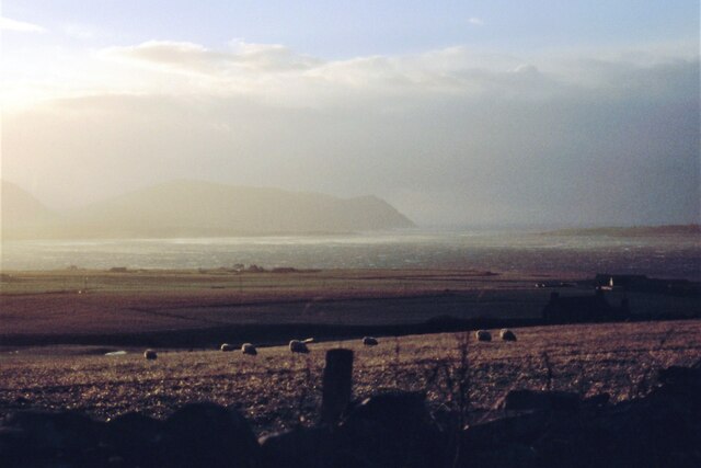
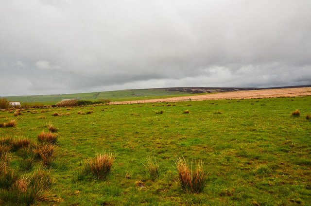
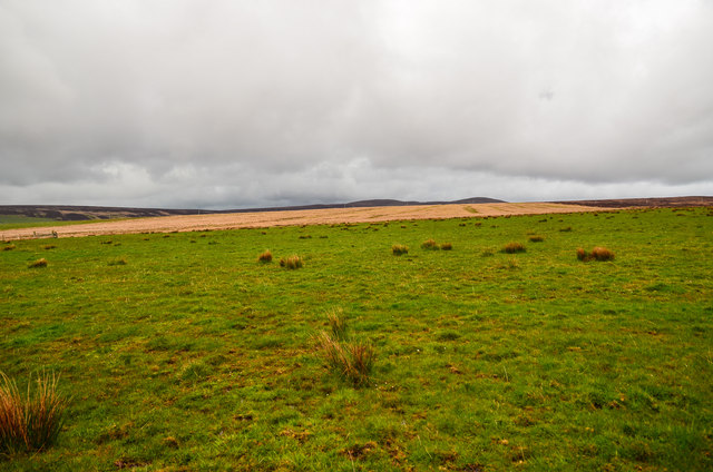
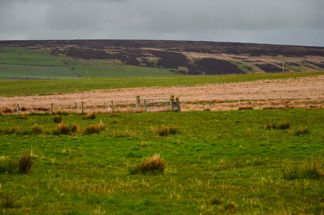
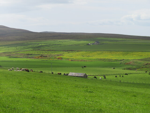
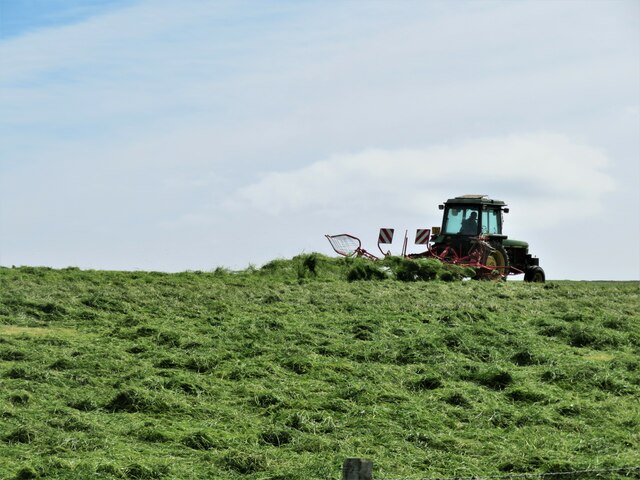
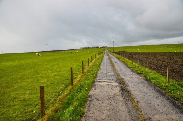
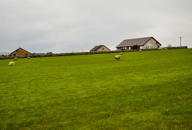
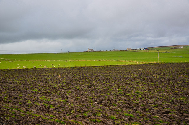
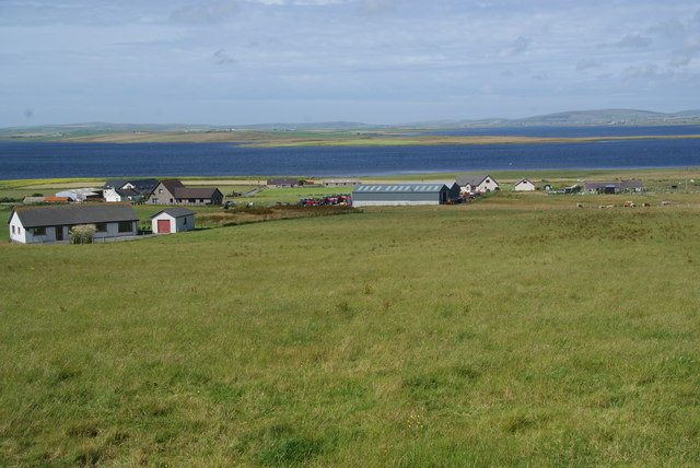
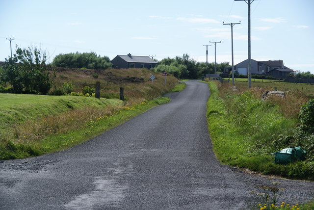
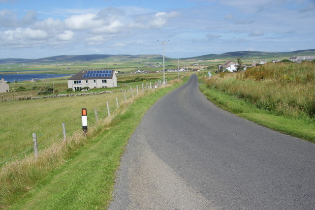
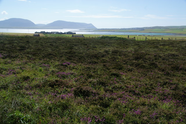
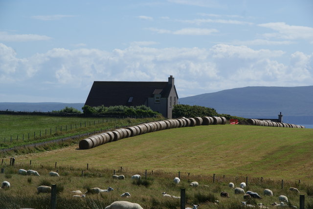
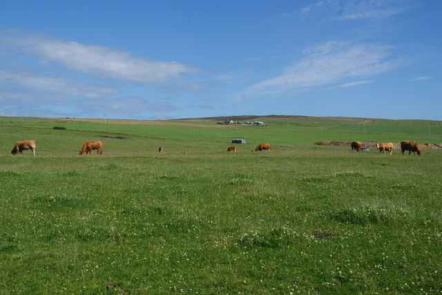
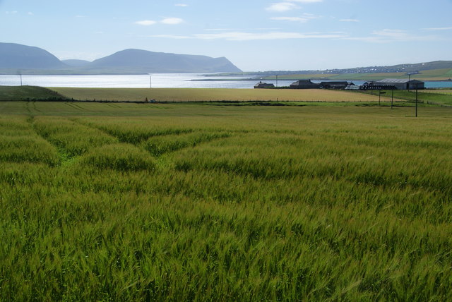
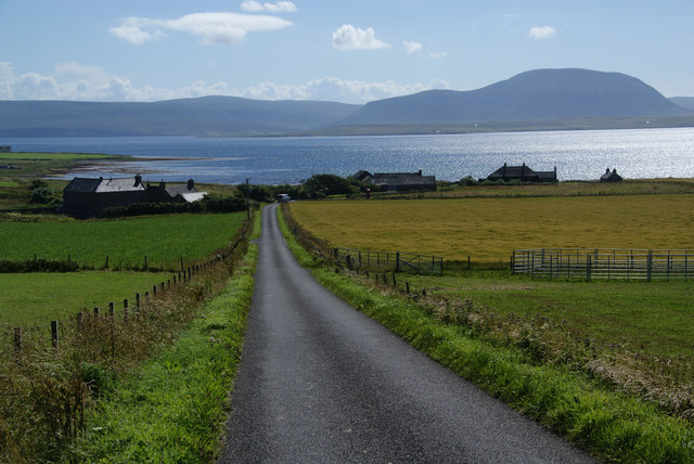
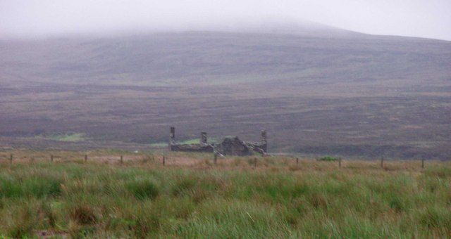
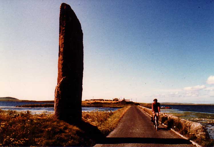
On the other hand, Orkney is an archipelago located off the northeastern coast of Scotland. Consisting of around 70 islands, Orkney is known for its rugged coastline, ancient archaeological sites, and vibrant wildlife. The largest island, Mainland, is home to the historic town of Kirkwall and the famous Neolithic sites of Skara Brae and the Ring of Brodgar.

Orkney's rich history can be traced back to the Stone Age, with evidence of human settlement dating back over 5,000 years. The islands are dotted with well-preserved ancient structures, including standing stones, burial mounds, and Viking settlements. The unique combination of natural beauty and historical significance makes Orkney a popular destination for nature enthusiasts and history buffs alike.

If you have any feedback on the listing, please let us know in the comments section below.

Ireland Images

Images are sourced within 2km of 58.968046/-3.2137288 or Grid Reference HY3009. Thanks to Geograph Open Source API. All images are credited.

Sheep grazing at Settersquoy A blustery Hoy Sound in the distance.
Sheep grazing at Settersquoy
A blustery Hoy Sound in the distance.
Moorland by Balfour Cottage Looking north east from the fields by the A964.
Moorland by Balfour Cottage
Looking north east from the fields by the A964.
Brown Hill Looking east across the moorland.
Brown Hill
Looking east across the moorland.
Boundary Gate To the east of Balfour Cottage on the moors.
Boundary Gate
To the east of Balfour Cottage on the moors.
Hillside and dale at Ireland Looking towards the valley of the Burn of Ireland from near the road end. The OS seems rather ungenerous with yellow colouring along the road to Ireland as it is shown as a white road on the 'geograph' map, whereas my 2007 edition map correctly shows it as surfaced as far as the site of an old quarry.
Hillside and dale at Ireland
Looking towards the valley of the Burn of Ireland from near the road end. The OS seems rather ungenerous with yellow colouring along the road to Ireland as it is shown as a white road on the 'geograph' map, whereas my 2007 edition map correctly shows it as surfaced as far as the site of an old quarry.
Turning the hay crop One crop that grows well on Orkney is grass, which feeds the large numbers of beef cattle on the islands. It looks as though the tractor has a rotary tedder to turn the grass and assist with drying.
Turning the hay crop
One crop that grows well on Orkney is grass, which feeds the large numbers of beef cattle on the islands. It looks as though the tractor has a rotary tedder to turn the grass and assist with drying.
Stenness: postbox № KW16 11 and phone, Mill of Ireland These two red objects stand by the A964 and both probably see very little use. The postbox is a George V-reign specimen and is emptied at 12:30 on weekday and Saturday lunchtimes.
Stenness: postbox № KW16 11 and phone, Mill of Ireland
These two red objects stand by the A964 and both probably see very little use. The postbox is a George V-reign specimen and is emptied at 12:30 on weekday and Saturday lunchtimes.
Biggings Long track to the farm off the A964.
Biggings
Long track to the farm off the A964.
Outbreks Grazing sheep by Biggings Farm.
Outbreks
Grazing sheep by Biggings Farm.
Farmland by Biggings Looking across to Villasquoy and Millquoy.
Farmland by Biggings
Looking across to Villasquoy and Millquoy.
Grassy hillside below Clouston The hill slopes down to the A965 and the Loch of Stenness.
Grassy hillside below Clouston
The hill slopes down to the A965 and the Loch of Stenness.
Road through Clouston It is more a collection of houses than a village.
Road through Clouston
It is more a collection of houses than a village.
Road to Stenness Passing through the hamlet of Clouston. The road descends to the lochside at Stenness. The Rendall Hills are on the skyline.
Road to Stenness
Passing through the hamlet of Clouston. The road descends to the lochside at Stenness. The Rendall Hills are on the skyline.
Heather moorland by Negheads A ridgetop situation with views to Hoy and Stromness. The sun in the west was a challenge.
Heather moorland by Negheads
A ridgetop situation with views to Hoy and Stromness. The sun in the west was a challenge.
Line of bales by Villasquoy
Cows near Villasquoy The moorland rises steadily up the ridge towards Ward Hill, the highest point of Mainland.
Cows near Villasquoy
The moorland rises steadily up the ridge towards Ward Hill, the highest point of Mainland.
Barley fields above Biggings Biggings is a relatively large farm. The view beyond takes in Hoy and Stromness.
Barley fields above Biggings
Biggings is a relatively large farm. The view beyond takes in Hoy and Stromness.
Road to Hall of Ireland Hall of Ireland is the settlement at the bottom. The Bay of Ireland is beyond, between here and Hoy.
Road to Hall of Ireland
Hall of Ireland is the settlement at the bottom. The Bay of Ireland is beyond, between here and Hoy.
Show me another place!

Ireland is located at Grid Ref: HY3009 (Lat: 58.968046, Lng: -3.2137288)

Unitary Authority: Orkney Islands

Police Authority: Highlands and Islands

What 3 Words

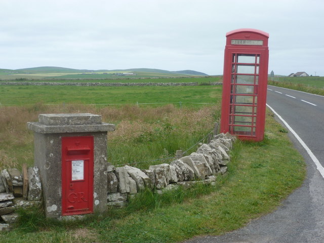
///telephone.costs.opposites. Near Stenness, Orkney Islands

Nearby Locations

Ireland

Related Wikis

Burn of Ayreland

The Burn of Ayreland (or Ireland) is a northwesterly flowing coastal stream on Mainland Orkney, Scotland, that discharges to the Clestrain Sound about...

Mill of Ayreland

The Mill of Ayreland is an historic watermill driven by water force of the Burn of Ayreland, a northwesterly flowing coastal stream within Mainland Orkney...

Stines Moss

Stines Moss is an elevated bog in the southwest upland area of the Orkney Mainland, Scotland. == Prehistory and history == This moss is located a few miles...

Stenness

Stenness (pronounced ) (Old Norse: Steinnes; Norn: Stennes) is a village and parish on the Orkney Mainland in Scotland. It contains several notable prehistoric...

Nearby Amenities

Located within 500m of 58.968046,-3.2137288
Power: pole
Lat/Long: 58.9643626/-3.2183397
Power: pole
Lat/Long: 58.9650292/-3.2186052
Power: pole
Lat/Long: 58.9657482/-3.2188493
Power: pole
Lat/Long: 58.9664189/-3.2191309
Power: pole
Lat/Long: 58.9669734/-3.2197183
Power: pole
Lat/Long: 58.9676496/-3.2204828
Power: pole
Lat/Long: 58.9683326/-3.2211909
Power: pole
Lat/Long: 58.9690226/-3.2219499
Power: pole
Lat/Long: 58.9655823/-3.220802
Power: pole
Lat/Long: 58.9655173/-3.2194233
Power: pole
Lat/Long: 58.9654385/-3.2186186
Power: pole
Lat/Long: 58.9658312/-3.2159284
Power: pole
Lat/Long: 58.9659667/-3.2147858
Power: pole
Lat/Long: 58.9661423/-3.2135627
Power: pole
Lat/Long: 58.9663193/-3.2124147
Power: pole
Lat/Long: 58.9664618/-3.2114169
Power: pole
Lat/Long: 58.9665973/-3.2103762
Power: pole
Lat/Long: 58.9667618/-3.2092899
Power: pole
Lat/Long: 58.9669181/-3.2081607
Generator Method: wind_turbine
Generator Source: wind
Power: generator
Lat/Long: 58.9695615/-3.2153629
Generator Method: wind_turbine
Generator Source: wind
Power: generator
Lat/Long: 58.9690985/-3.2148895
Power: pole
Lat/Long: 58.9709223/-3.219902
Power: pole
Lat/Long: 58.9703463/-3.2188858
Power: pole
Lat/Long: 58.9698331/-3.2179914
The data included in this document is from www.openstreetmap.org. The data is made available under ODbL.

Have you been to Ireland?

Leave your review of Ireland below (or comments, questions and feedback).