Anchor Hill
Hill, Mountain in Lancashire Ribble Valley
England
Anchor Hill
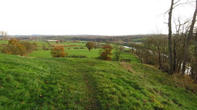
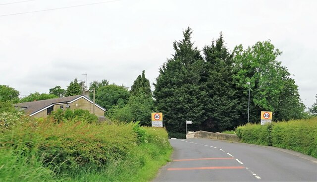
Anchor Hill is a prominent natural landform located in the county of Lancashire, England. Situated within the picturesque countryside, this hill is known for its scenic beauty and offers breathtaking views of the surrounding areas. With an elevation of approximately 245 meters (800 feet), Anchor Hill is classified as a hill rather than a mountain.
The hill is composed of sedimentary rocks, primarily sandstone, which gives it a distinctive reddish-brown hue. Its geological formation dates back millions of years, and its rugged slopes are the result of erosion caused by weathering and glacial activity during the last Ice Age. This geological history has contributed to the diverse flora and fauna found on the hill, making it a popular spot for nature enthusiasts and hikers.
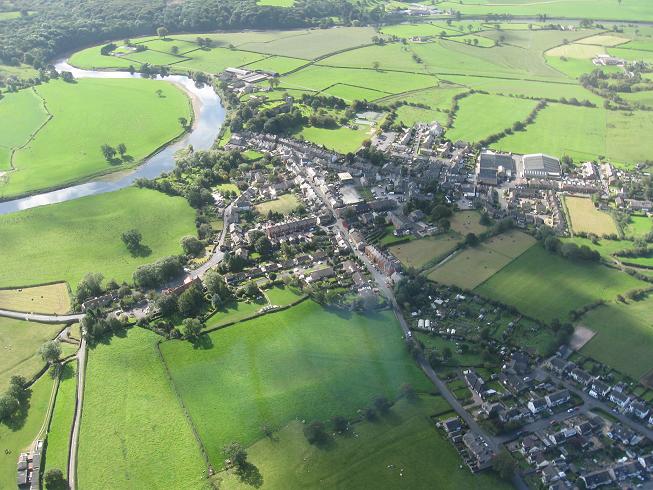
Anchor Hill is also home to several trails and footpaths that attract outdoor enthusiasts from near and far. These paths cater to different levels of difficulty, providing opportunities for both casual walkers and experienced hikers to explore the area. From the summit of Anchor Hill, visitors can enjoy panoramic views of the Lancashire countryside, including rolling hills, lush valleys, and distant villages.
Due to its scenic appeal and recreational opportunities, Anchor Hill has become a popular destination for locals and tourists alike. Whether it be for a leisurely stroll, a challenging hike, or simply to soak in the natural beauty, visitors to Anchor Hill are sure to be captivated by its charm and tranquility.
If you have any feedback on the listing, please let us know in the comments section below.
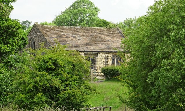
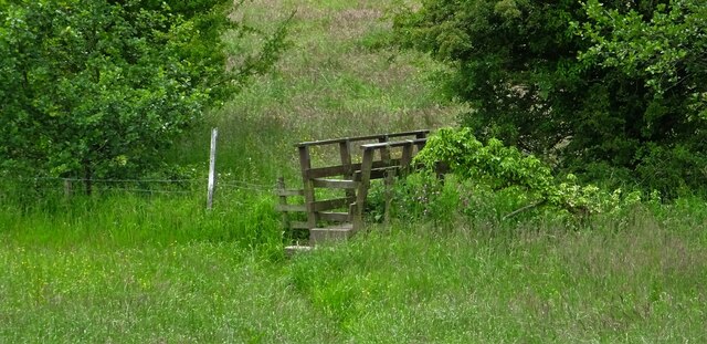
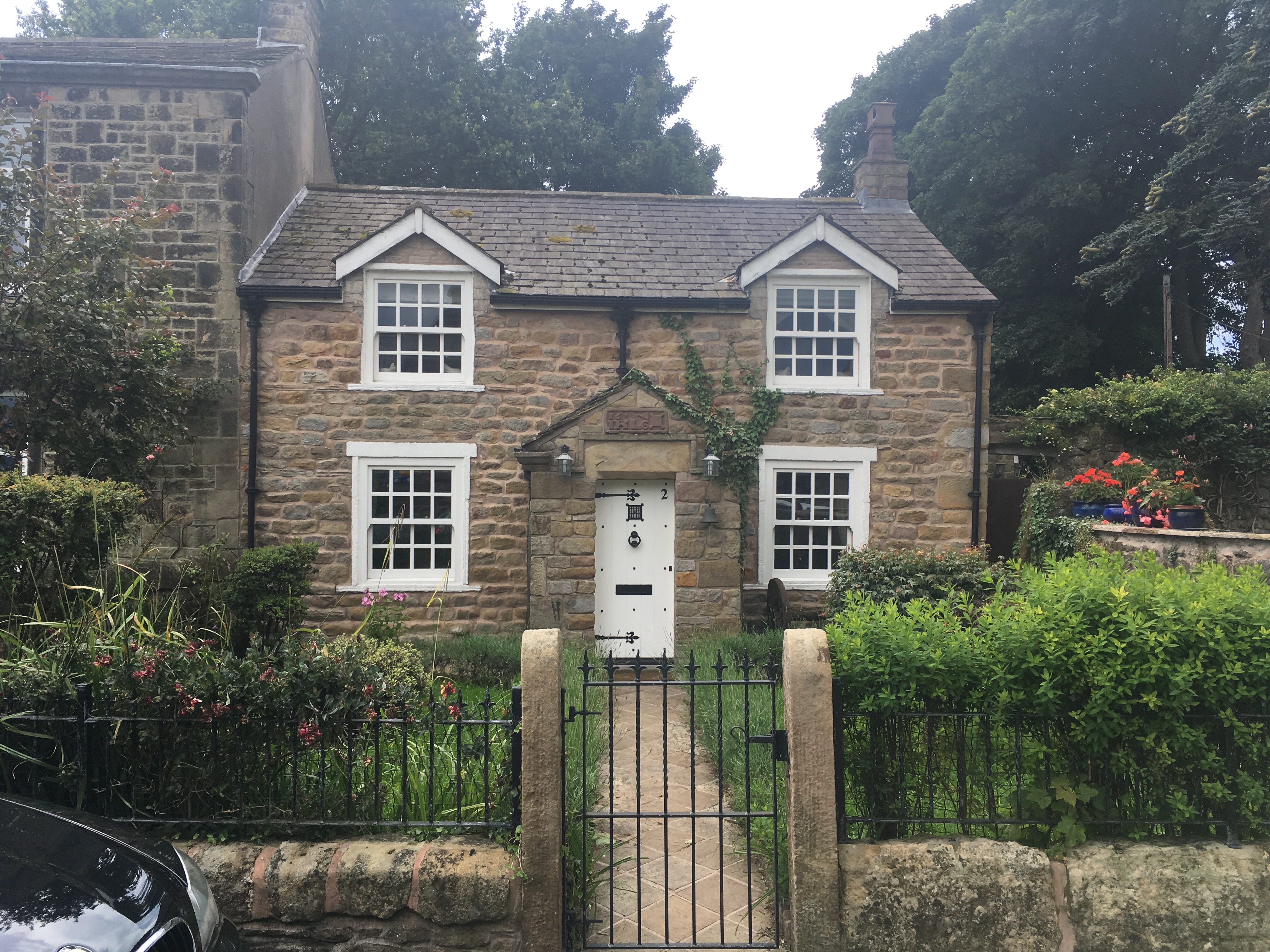
Anchor Hill Images
Images are sourced within 2km of 53.810695/-2.5350723 or Grid Reference SD6435. Thanks to Geograph Open Source API. All images are credited.
Anchor Hill is located at Grid Ref: SD6435 (Lat: 53.810695, Lng: -2.5350723)
Administrative County: Lancashire
District: Ribble Valley
Police Authority: Lancashire
What 3 Words
///peroxide.dealings.operating. Near Longridge, Lancashire
Nearby Locations
Related Wikis

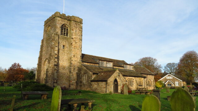
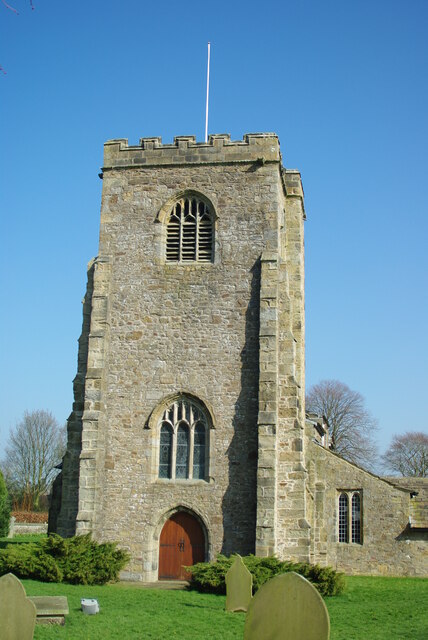
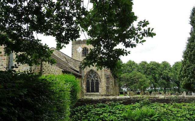
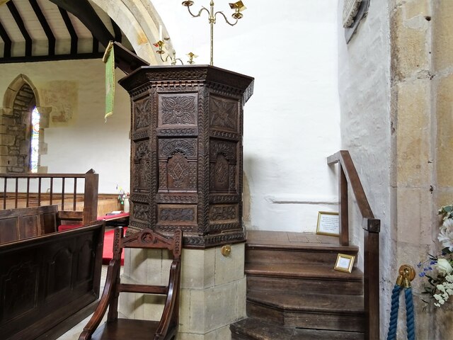
St Wilfrid's Church, Ribchester
St Wilfrid's Church is an Anglican church in the village of Ribchester in Lancashire, England that is situated close to the site of a Roman fort. It is...

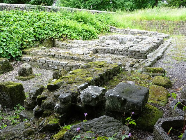
Ribchester Roman Museum
Ribchester Roman Museum (officially the Ribchester Roman Museum of Roman Antiquities) is located in the village of Ribchester, Lancashire, England. It...
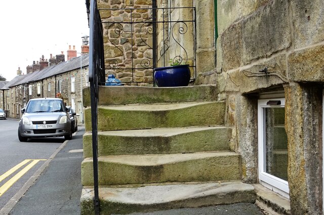
2 Church Street, Ribchester
2 Church Street is a building in Ribchester, Lancashire, England. The property dates to at least the 19th century, and in the 1970s it was discovered that...

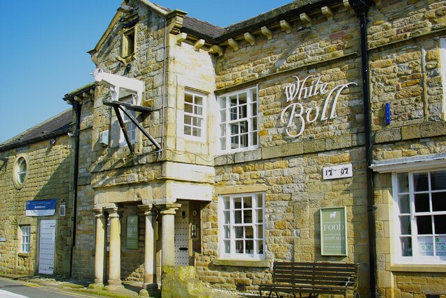
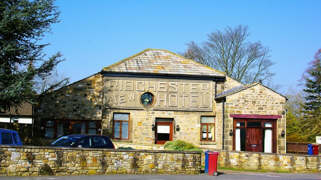
The White Bull, Ribchester
The White Bull (also known as the White Bull Inn) is a public house and inn on Church Street (formerly one of the Roman Watling Streets) in the English...

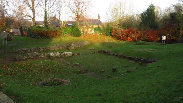
Bremetennacum
Bremetennacum, ([brɛmɛˈteːnːakʊm]), or Bremetennacum Veteranorum, was a Roman fort on the site of the present day village of Ribchester in Lancashire,...
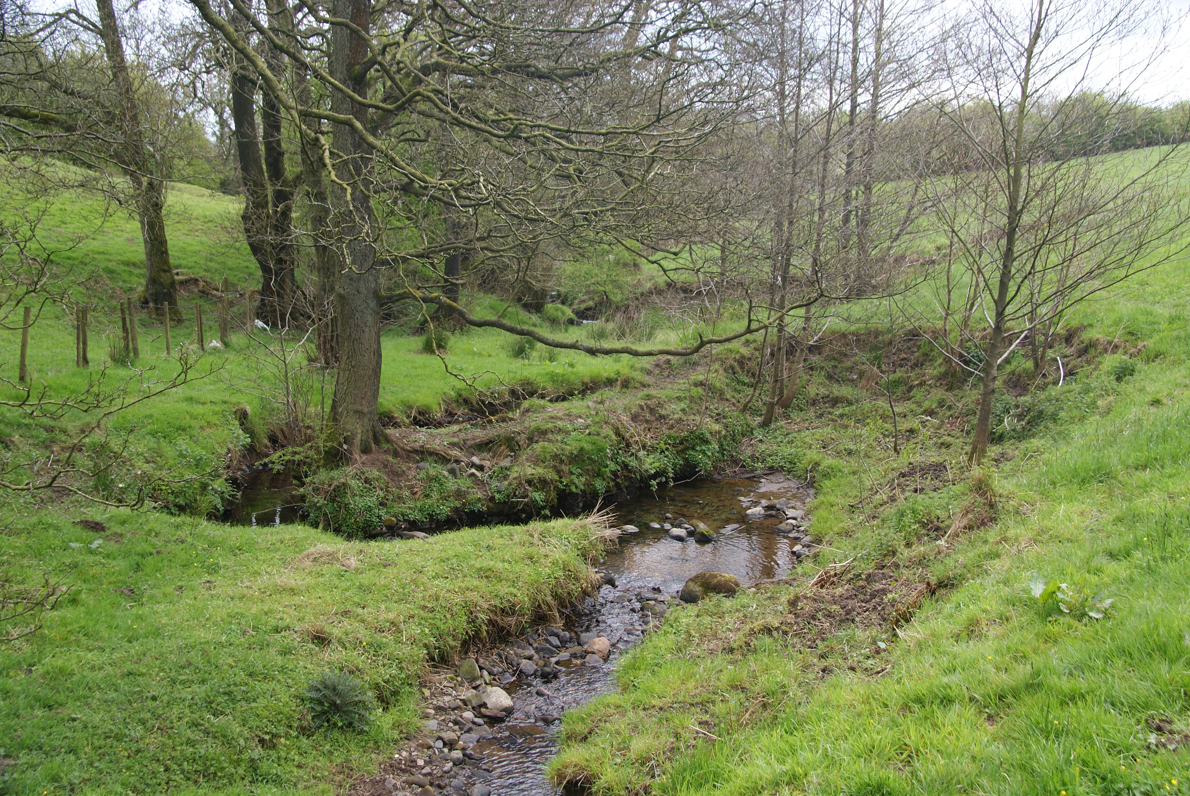
Stydd Brook
Stydd Brook is a watercourse in Lancashire, England. Rising on Gannow Fell, south west of the Forest of Bowland, the river flows southward, meeting the...
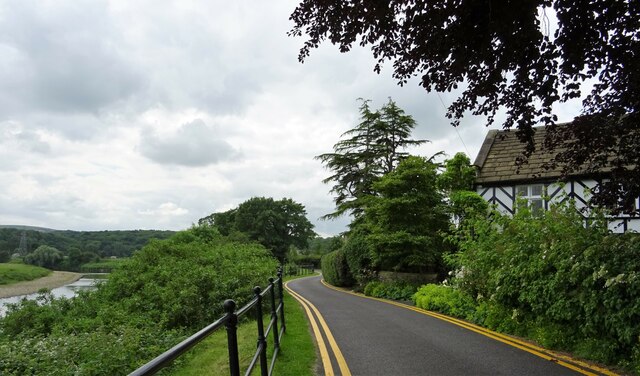
Ribchester
Ribchester () is a village and civil parish within the Ribble Valley district of Lancashire, England. It lies on the banks of the River Ribble, six miles...

8 Blackburn Road
8 Blackburn Road is a building in the English village of Ribchester, Lancashire. Standing at the junction of Blackburn Road and Ribblesdale Road, it dates...
Nearby Amenities
Located within 500m of 53.810695,-2.5350723Have you been to Anchor Hill?
Leave your review of Anchor Hill below (or comments, questions and feedback).