Charlies Hill

Hill, Mountain in Roxburghshire

Scotland

Charlies Hill

Ordnance Survey Flush Bracket 11414 This can be found on the wall of a cottage - a private dwelling - at Charlies Hill.
For more detail see : <span class="nowrap"><a title="http://www.bench-marks.org.uk/bm11884" rel="nofollow ugc noopener" href="http://www.bench-marks.org.uk/bm11884">Link</a><img style="margin-left:2px;" alt="External link" title="External link - shift click to open in new window" src="https://s1.geograph.org.uk/img/external.png" width="10" height="10"/></span>
Ordnance Survey Flush Bracket 11414 Credit: Peter Wood

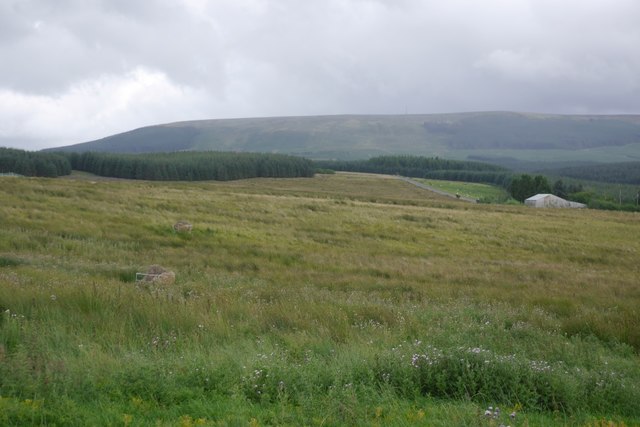
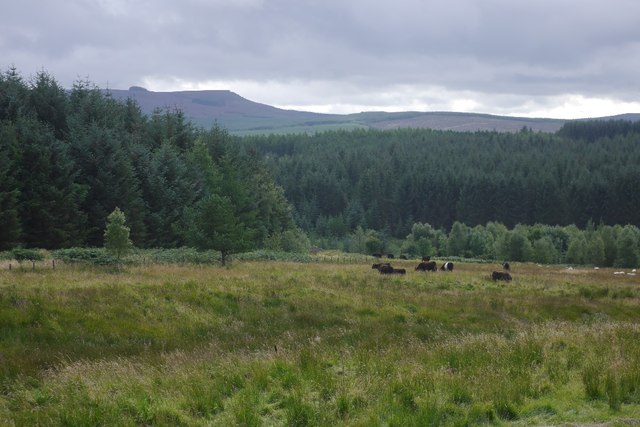
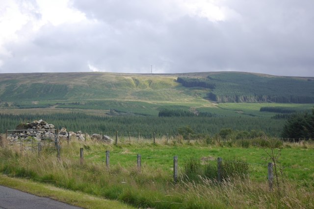
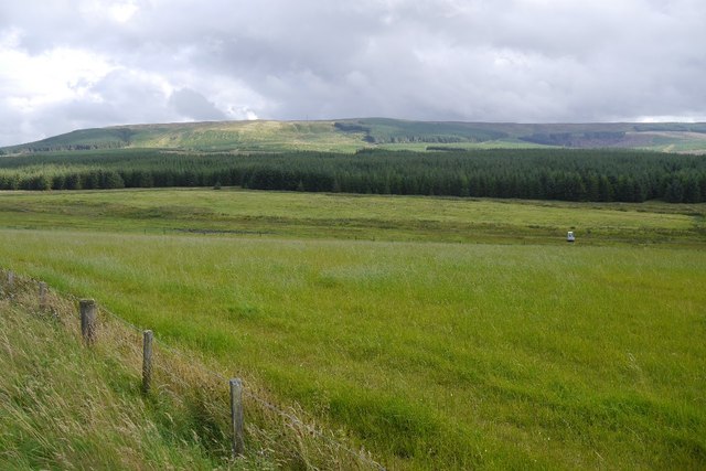
Charlie's Hill is a prominent hill located in the county of Roxburghshire in the Scottish Borders region of Scotland. It is situated near the town of Jedburgh and lies within the Cheviot Hills range. With an elevation of approximately 635 meters (2,083 feet), it offers breathtaking panoramic views of the surrounding countryside.

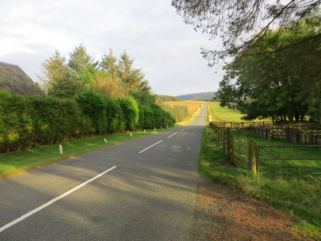
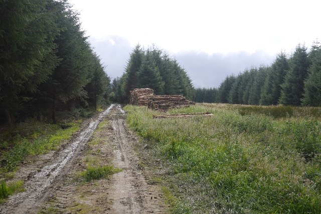
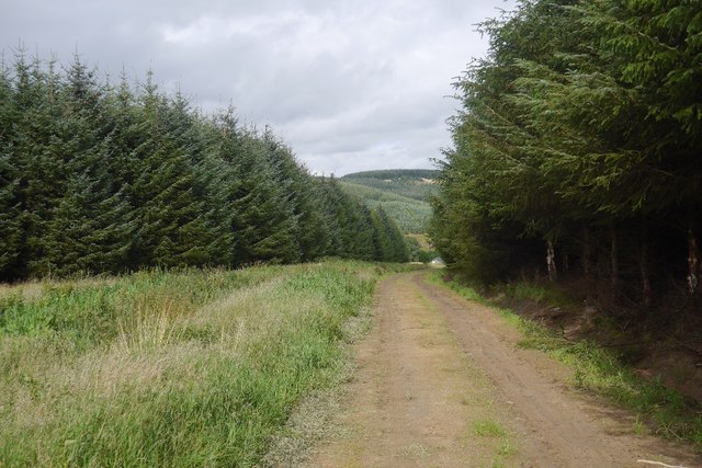
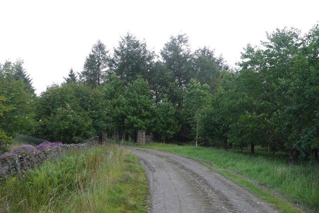
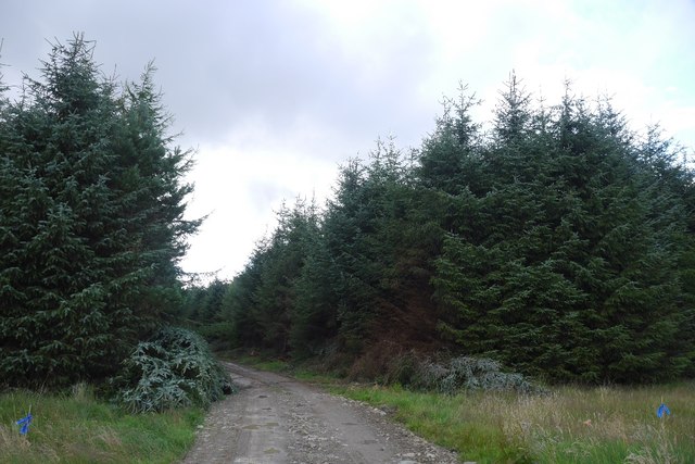
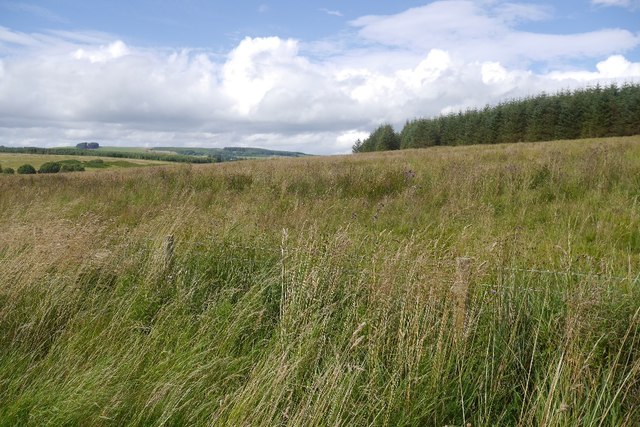
The hill is characterized by its rugged terrain and is a popular spot for outdoor enthusiasts, particularly hikers and walkers. There are several well-defined walking trails that lead to the summit, providing opportunities for visitors to explore the natural beauty of the area. The ascent can be challenging at times, but the effort is rewarded with stunning vistas of rolling hills, lush green valleys, and nearby mountains.

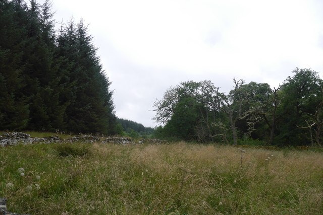
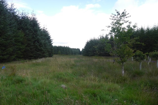
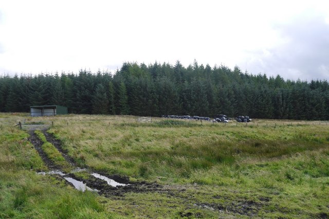
Flora and fauna are abundant on Charlie's Hill, with a diverse range of plant species and wildlife calling it home. From heather-clad slopes to scattered woodlands, the hill offers a variety of habitats for different species to thrive. Birdwatchers can spot various species, including raptors such as buzzards and kestrels, while deer and other mammals can also be observed in their natural habitat.

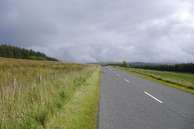
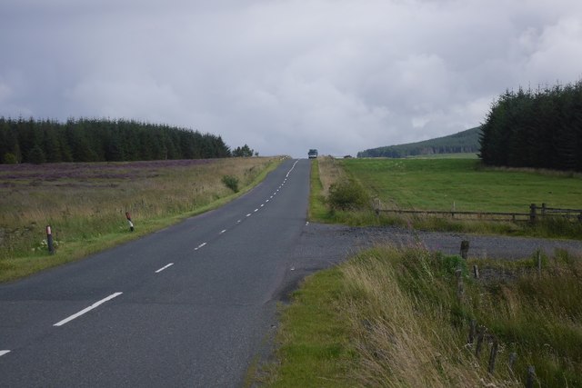
The hill's location in the Scottish Borders region makes it easily accessible for both locals and tourists alike. Its close proximity to the town of Jedburgh means that amenities such as accommodation, dining, and visitor information are readily available for those looking to explore the area.

Overall, Charlie's Hill in Roxburghshire is a nature lover's paradise, offering stunning landscapes, challenging hikes, and a chance to immerse oneself in the beauty of the Scottish countryside.

If you have any feedback on the listing, please let us know in the comments section below.

Charlies Hill Images

Images are sourced within 2km of 55.371063/-2.5551297 or Grid Reference NT6408. Thanks to Geograph Open Source API. All images are credited.

Ordnance Survey Flush Bracket 11414 This can be found on the wall of a cottage - a private dwelling - at Charlies Hill.
For more detail see : <span class="nowrap"><a title="http://www.bench-marks.org.uk/bm11884" rel="nofollow ugc noopener" href="http://www.bench-marks.org.uk/bm11884">Link</a><img style="margin-left:2px;" alt="External link" title="External link - shift click to open in new window" src="https://s1.geograph.org.uk/img/external.png" width="10" height="10"/></span>
Ordnance Survey Flush Bracket 11414
This can be found on the wall of a cottage - a private dwelling - at Charlies Hill. For more detail see : LinkExternal link
Road (A6088) at Charlies Hill Looking north-westward from cottage entrance.
Road (A6088) at Charlies Hill
Looking north-westward from cottage entrance.
Beside the Shaw Burn An unplanted strip between the burn and conifers. The ground is damp and grass/meadowsweet long.  Across the burn there is a more recent plantation.
Beside the Shaw Burn
An unplanted strip between the burn and conifers. The ground is damp and grass/meadowsweet long. Across the burn there is a more recent plantation.
Logging road, Waterside Thinning in progress in the woodlands south of the Jed Water. All through the struggle along the riverbank I could hear machinery at work somewhere in the forest and was worried about getting out along this road.  After a delay for a puncture repair I was able to get through with the work taking place in the trees to the left.

The road was rather muddy.
Logging road, Waterside
Thinning in progress in the woodlands south of the Jed Water. All through the struggle along the riverbank I could hear machinery at work somewhere in the forest and was worried about getting out along this road. After a delay for a puncture repair I was able to get through with the work taking place in the trees to the left. The road was rather muddy.
Road to Waterside A forest road which was being used in thinning operations and also gives access to a building beside the Jed Water.
Road to Waterside
A forest road which was being used in thinning operations and also gives access to a building beside the Jed Water.
Road to Waterside Gate pillars on a forest road. It leads to a wooden building beside the Gala Water.
Road to Waterside
Gate pillars on a forest road. It leads to a wooden building beside the Gala Water.
Road from Waterside A forest road with evidence of recent thinning.
Road from Waterside
A forest road with evidence of recent thinning.
Unplanted strip A very wide ride, left unplanted in the conifer plantations to the north of Waterside.
Unplanted strip
A very wide ride, left unplanted in the conifer plantations to the north of Waterside.
Track near Southdean The newly surfaced track links the A6088 with the forest road within the plantations around the Jed Water.
Track near Southdean
The newly surfaced track links the A6088 with the forest road within the plantations around the Jed Water.
Rough grazing, Charlie's Hill View towards Carter Fell.
Rough grazing, Charlie's Hill
View towards Carter Fell.
Steele Knowe Some very rough grassland between the plantations and road.
Steele Knowe
Some very rough grassland between the plantations and road.
A6088, Steele Knowe A quiet road which links Hawick and Carter Bar.
A6088, Steele Knowe
A quiet road which links Hawick and Carter Bar.
Rough grazing Although mapped as forest, there is a wide strip of grassland between Wauchope Forest and the A6088. At the time it was grazed by belted Galloway cattle.
Rough grazing
Although mapped as forest, there is a wide strip of grassland between Wauchope Forest and the A6088. At the time it was grazed by belted Galloway cattle.
Belted Galloway cattle A herd of belties beside Wauchope Forest with the Cheviot hills in the background.
Belted Galloway cattle
A herd of belties beside Wauchope Forest with the Cheviot hills in the background.
A6088 A road links Hawick with the A68 on Carter Bar. The road on the right is a logging road into Wauchope Forest.
A6088
A road links Hawick with the A68 on Carter Bar. The road on the right is a logging road into Wauchope Forest.
A6088 Westward (i.e. towards Bonchester Bridge and Hawick) view along the road.
A6088
Westward (i.e. towards Bonchester Bridge and Hawick) view along the road.
Wauchope Forest A view from the A6088 towards Carter Fell, across vast conifer plantations.
Wauchope Forest
A view from the A6088 towards Carter Fell, across vast conifer plantations.
Rough grazing Mapped as conifer woodland, this is a biggish area of rough grazing between Wauchope Forest and the A6088.
Rough grazing
Mapped as conifer woodland, this is a biggish area of rough grazing between Wauchope Forest and the A6088.
Show me another place!

Charlies Hill is located at Grid Ref: NT6408 (Lat: 55.371063, Lng: -2.5551297)

Unitary Authority: The Scottish Borders

Police Authority: The Lothians and Scottish Borders

What 3 Words

///useful.convey.throat. Near Jedburgh, Scottish Borders

Nearby Locations

Charlies Hill

Related Wikis

Southdean

Southdean is a hamlet in the Scottish Borders area of Scotland, on the A6088, by the Jed Water and in the Wauchope Forest area. Other settlements nearby...

Scottish Borders

The Scottish Borders (Scots: the Mairches, lit. 'the Marches'; Scottish Gaelic: Crìochan na h-Alba) is one of 32 council areas of Scotland. It is bordered...

Edgerston

Edgerston is a village and an estate about 4 miles (6.4 km) north of the Anglo-Scottish border, and 8 miles (13 km) south of Jedburgh in the Scottish Borders...

Carter Bar

Carter Bar is a pass in the Cheviot Hills, on the Anglo-Scottish border. It lies east of Carter Fell at the head of Redesdale, and is crossed by the A68...

Nearby Amenities

Located within 500m of 55.371063,-2.5551297
Power: pole
Lat/Long: 55.3708806/-2.5625676
Power: pole
Lat/Long: 55.3705133/-2.5614655
Power: pole
Lat/Long: 55.3701358/-2.5603634
Power: pole
Lat/Long: 55.3698563/-2.5595291
Power: pole
Lat/Long: 55.3695548/-2.5586382
Power: pole
Lat/Long: 55.3692739/-2.557791
Power: pole
Lat/Long: 55.3689212/-2.5567584
Power: pole
Lat/Long: 55.3685444/-2.5556525
The data included in this document is from www.openstreetmap.org. The data is made available under ODbL.

Have you been to Charlies Hill?

Leave your review of Charlies Hill below (or comments, questions and feedback).