Mill Hill
Hill, Mountain in Yorkshire Craven
England
Mill Hill
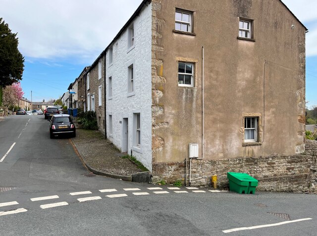
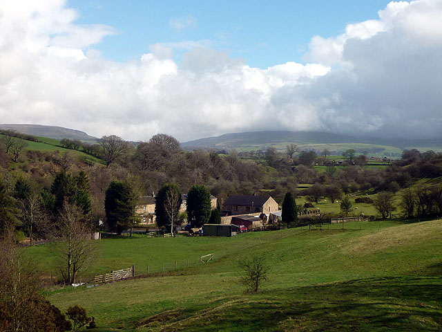
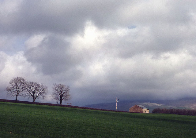
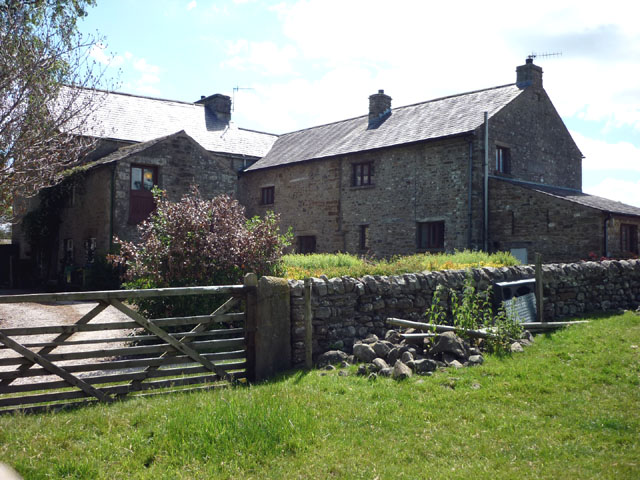
Mill Hill is a small village located in the county of Yorkshire, England. Situated on a gentle slope, it is known for its picturesque scenery and stunning views of the surrounding countryside. Despite its name, Mill Hill is not actually a hill or mountain, but rather a residential area nestled in a valley.
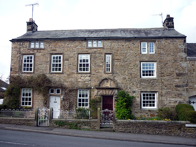
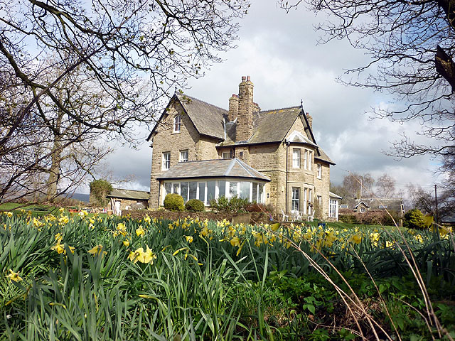
The village is characterized by its quaint charm and traditional architecture. Many of the houses in Mill Hill date back several centuries, with their stone facades and thatched roofs adding to the village's rustic appeal. The narrow streets and winding lanes further enhance its old-world atmosphere.
Surrounded by rolling hills and meandering streams, Mill Hill offers plenty of opportunities for outdoor activities and peaceful walks. The countryside is dotted with fields, farmland, and patches of woodland, making it a haven for nature lovers and wildlife enthusiasts. The village is also home to a number of well-maintained parks and green spaces, providing ample opportunities for residents and visitors to relax and enjoy the outdoors.
Although relatively small, Mill Hill has a strong sense of community and a vibrant social scene. The village has a local pub, a church, and a few small shops catering to the needs of its residents. Additionally, Mill Hill is well-connected to larger towns and cities in the region, with good transport links and easy access to amenities and services.
In conclusion, Mill Hill, Yorkshire, is a charming village nestled in the scenic countryside of Yorkshire. With its traditional architecture, beautiful landscape, and strong community spirit, it offers a peaceful and idyllic setting for residents and visitors alike.
If you have any feedback on the listing, please let us know in the comments section below.
Mill Hill Images
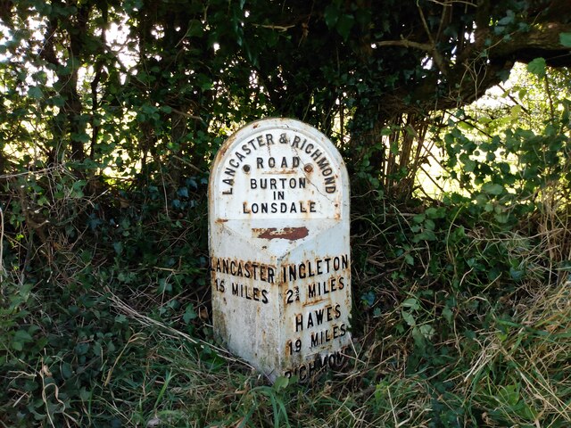
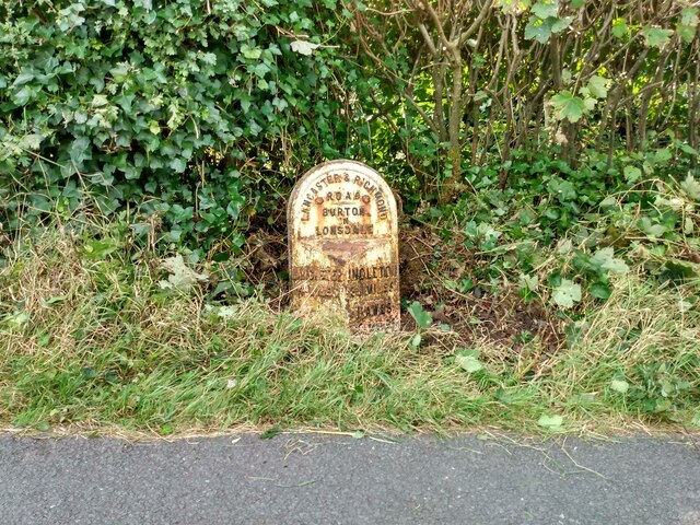
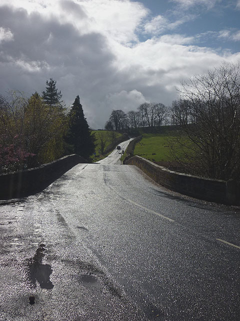
Images are sourced within 2km of 54.139208/-2.5393613 or Grid Reference SD6471. Thanks to Geograph Open Source API. All images are credited.


Mill Hill is located at Grid Ref: SD6471 (Lat: 54.139208, Lng: -2.5393613)
Division: West Riding
Administrative County: North Yorkshire
District: Craven
Police Authority: North Yorkshire
What 3 Words
///blueberry.spoke.limits. Near High Bentham, North Yorkshire
Nearby Locations
Related Wikis

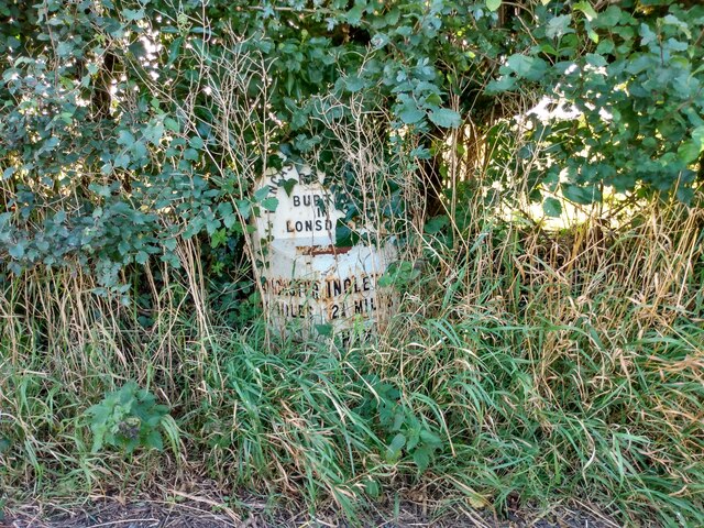
Burton in Lonsdale Castle
Burton in Lonsdale Castle was in the village of Burton in Lonsdale in North Yorkshire, England (grid reference SD649721). The Pipe Rolls for the reign...

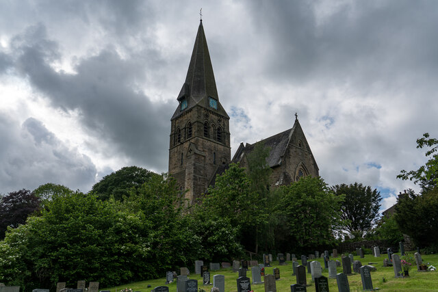
All Saints Church, Burton in Lonsdale
All Saints Church is in the village of Burton in Lonsdale, North Yorkshire, England. It is an active Anglican parish church in the deanery of Ewecross...

Burton in Lonsdale
Burton in Lonsdale is a village and civil parish in the Craven District of North Yorkshire, England, close to the border with Lancashire and Cumbria....

The Ridding
The Ridding is a Victorian country house located in the village of Bentham, North Yorkshire, England. It is recorded in the National Heritage List for...

Low Bentham railway station
Low Bentham railway station served the village of Low Bentham, North Yorkshire, England, from 1850 to 1853 on the "Little" North Western Railway. ��2...

Bentham Grammar School
Bentham Grammar School was an independent school in Bentham, North Yorkshire, England. The school was founded in 1726 but closed in 2002 due to dwindling...
Cantsfield
Cantsfield is a hamlet and civil parish in the City of Lancaster, in Lancashire, England, near the boundary with North Yorkshire. It is situated near the...

Bentham, North Yorkshire
Bentham is a civil parish in North Yorkshire, England, with a population of 3,027 at the 2011 Census. The parish includes the town of High Bentham, occasionally...
Nearby Amenities
Located within 500m of 54.139208,-2.5393613Have you been to Mill Hill?
Leave your review of Mill Hill below (or comments, questions and feedback).