Folly Hill
Hill, Mountain in Somerset Mendip
England
Folly Hill
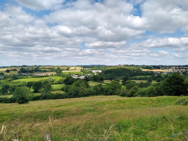
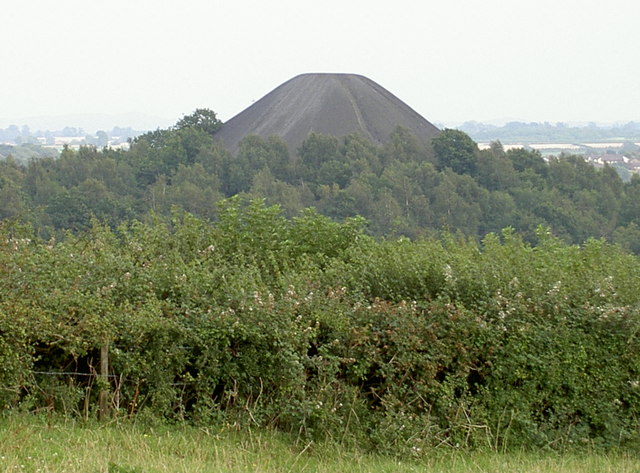
Folly Hill, located in Somerset, England, is a prominent hill offering picturesque views of the surrounding countryside. Situated near the town of Bruton, Folly Hill is part of the Mendip Hills range, which is renowned for its natural beauty and diverse wildlife.
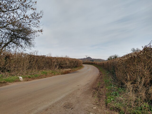
Rising to an elevation of approximately 226 meters (741 feet), Folly Hill is a popular destination for hikers, nature enthusiasts, and those seeking panoramic vistas. The hill is easily accessible, with well-maintained footpaths leading to its summit. These paths wind through lush green meadows, dense woodlands, and quaint villages, providing visitors with a delightful journey to the top.
At the summit of Folly Hill, visitors are rewarded with breathtaking panoramic views of the Somerset countryside. On clear days, it is possible to see the distant hills of Exmoor National Park, as well as Glastonbury Tor and the Bristol Channel. The hilltop offers a peaceful and serene atmosphere, making it an ideal spot for picnics or simply taking in the beauty of nature.
Folly Hill is also steeped in history, with evidence of human habitation dating back thousands of years. Archaeological finds suggest that the hill was inhabited during the Iron Age and Roman periods. Additionally, the hill is home to a Bronze Age burial mound, adding to its historical significance.
Overall, Folly Hill provides a unique blend of natural beauty, historical significance, and stunning views, making it a must-visit destination for those exploring the Somerset region.
If you have any feedback on the listing, please let us know in the comments section below.
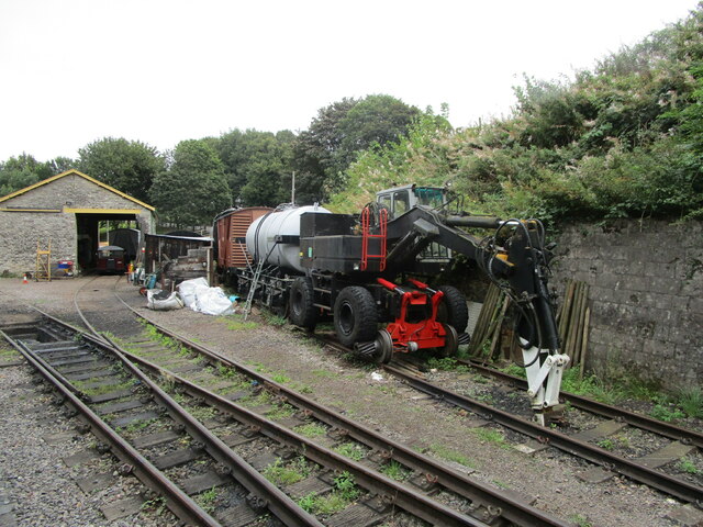
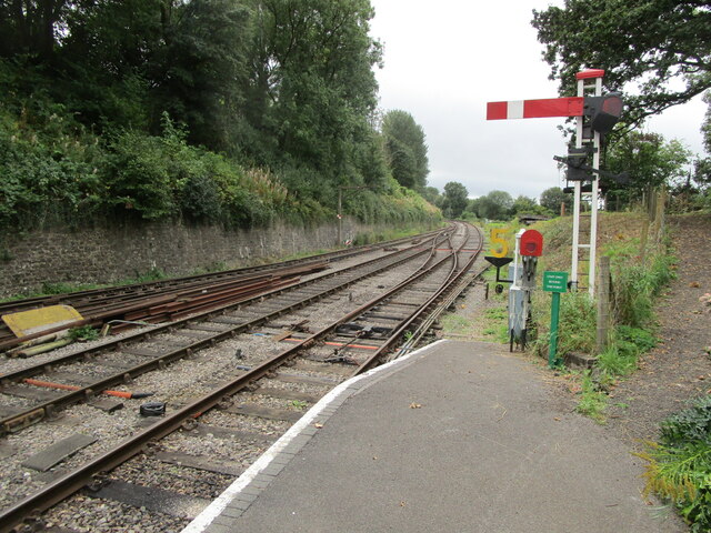
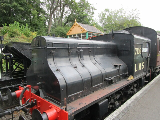
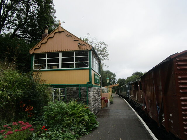
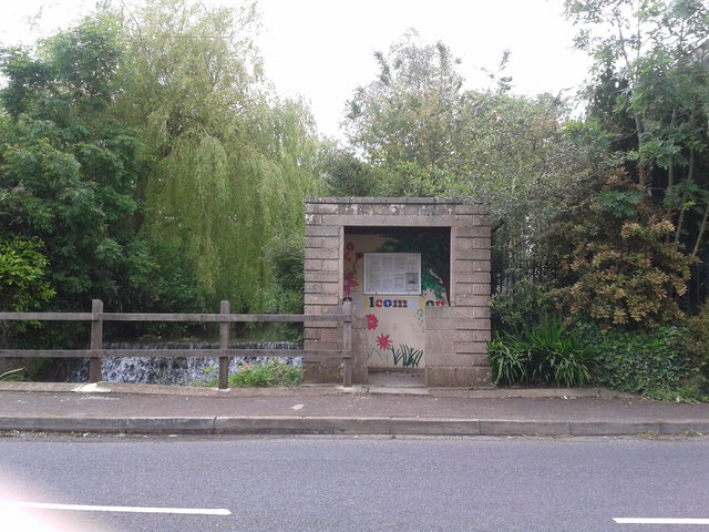
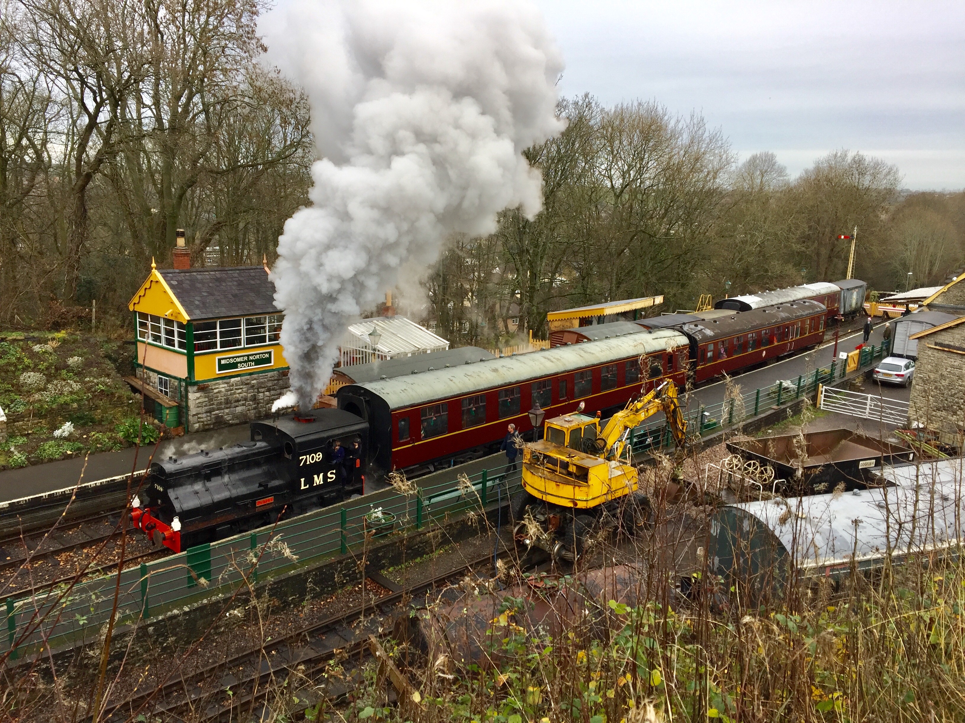
Folly Hill Images
Images are sourced within 2km of 51.279305/-2.5058908 or Grid Reference ST6453. Thanks to Geograph Open Source API. All images are credited.

Folly Hill is located at Grid Ref: ST6453 (Lat: 51.279305, Lng: -2.5058908)
Administrative County: Somerset
District: Mendip
Police Authority: Avon and Somerset
What 3 Words
///defers.node.denoting. Near Midsomer Norton, Somerset
Nearby Locations
Related Wikis

Church of St John the Baptist, Chilcompton
The Anglican Church of St John the Baptist in Chilcompton, within the English county of Somerset, was built in the 15th century. It is a Grade II* listed...
Chilcompton
Chilcompton is a village and civil parish in Somerset, England, situated in the Mendip Hills two miles south of Midsomer Norton and 3.0 miles south-west...

Somervale School
Somervale School is situated in Midsomer Norton in Bath and North East Somerset in South West England. The school, which has academy status, is a specialist...

Norton House, Somerset
Norton House was a mansion in Midsomer Norton, Somerset. It was built around 1789 by the Savage family, investors in mines in the Somerset Coalfield...

Church of St John the Baptist, Midsomer Norton
The Anglican Church of St John the Baptist in Midsomer Norton, Somerset, England, is a Grade II* listed building. St. John's is part of the Diocese of...
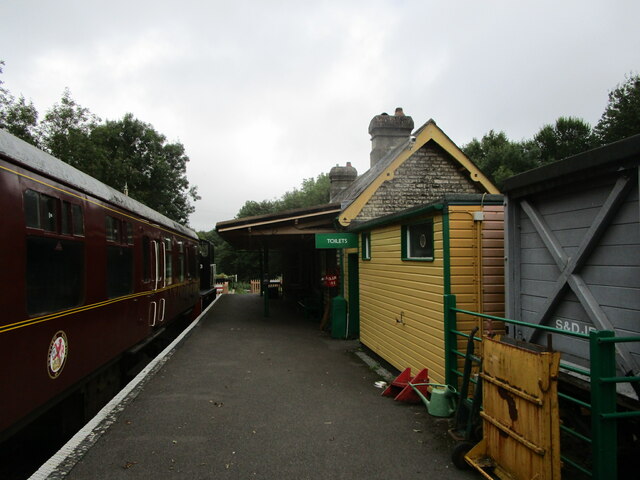
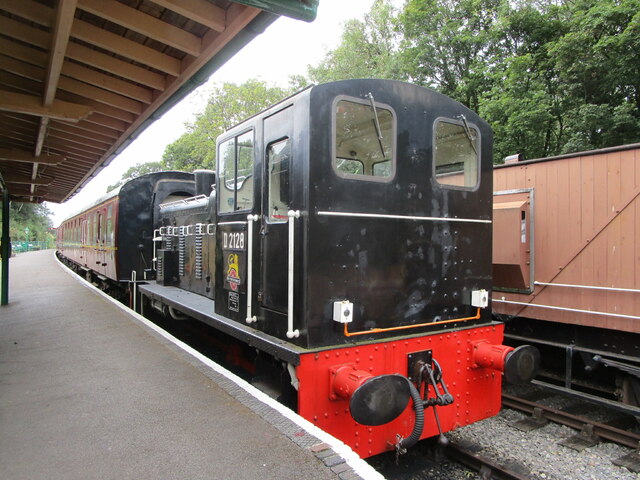
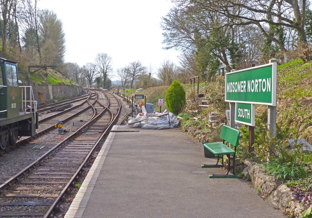
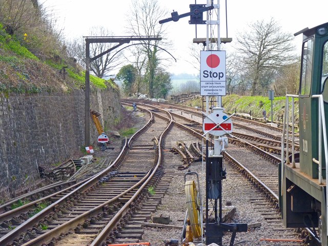
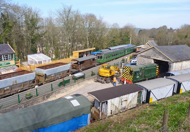
Somerset & Dorset Railway Heritage Trust
The Somerset & Dorset Railway Heritage Trust (S&DRHT) is a heritage railway line in Somerset, England, that runs on a restored section of the Somerset...

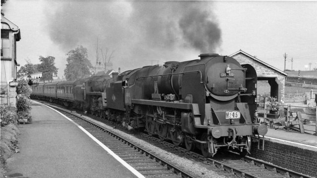
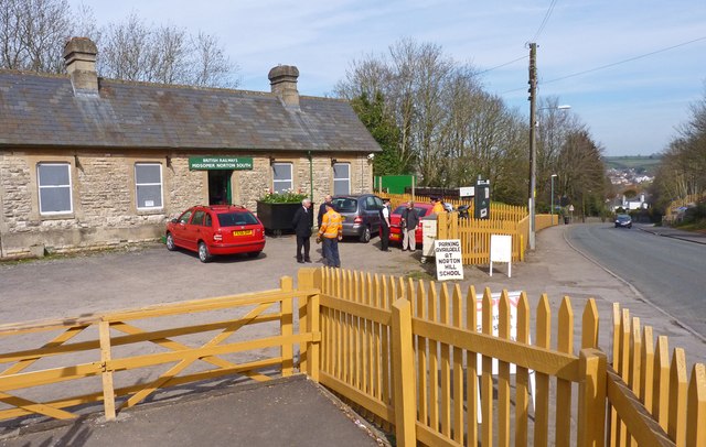
Midsomer Norton railway station
Midsomer Norton railway station (originally Midsomer Norton, later Midsomer Norton and Welton and finally Midsomer Norton South) was a station on the Somerset...

The Priory, Midsomer Norton
The Priory in Church Square, Midsomer Norton, within the English county of Somerset was rebuilt in the early or mid 17th century. It is a Grade II* listed...
Nearby Amenities
Located within 500m of 51.279305,-2.5058908Have you been to Folly Hill?
Leave your review of Folly Hill below (or comments, questions and feedback).