Clapton
Settlement in Somerset Mendip
England
Clapton
Clapton is a small village located in the county of Somerset, in the southwest of England. Situated approximately 4 miles east of Crewkerne and 12 miles west of Yeovil, it falls within the South Somerset district. The village has a population of around 500 residents.
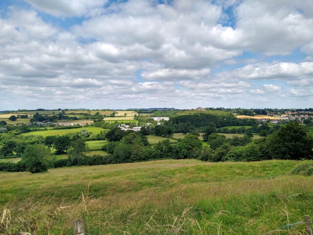
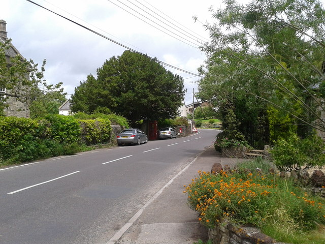
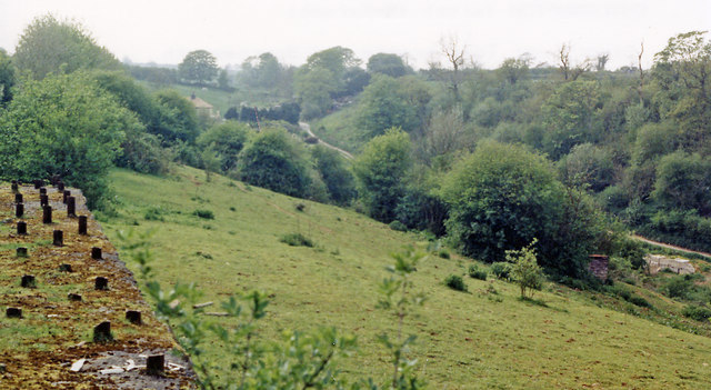
Nestled amidst the scenic countryside, Clapton offers a picturesque and tranquil setting. The village is known for its charming thatched cottages, traditional architecture, and well-maintained gardens. It exudes a sense of rural charm, with its narrow winding lanes and beautiful countryside views.
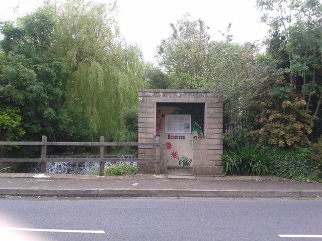
Despite its small size, Clapton has a strong sense of community. The village boasts a primary school, which plays a crucial role in the local community. Additionally, there is a parish church, St. Mary's, which serves as a focal point for religious activities and community events.
Clapton benefits from its proximity to nearby towns and cities, providing residents with access to a range of amenities and services. The surrounding area offers opportunities for outdoor activities, including walking, cycling, and exploring the nearby nature reserves.
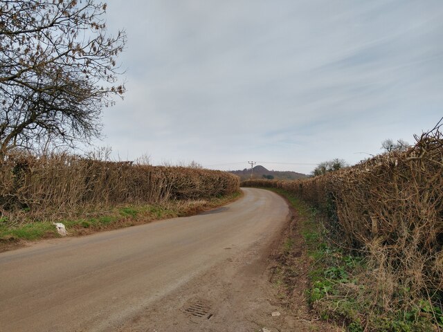
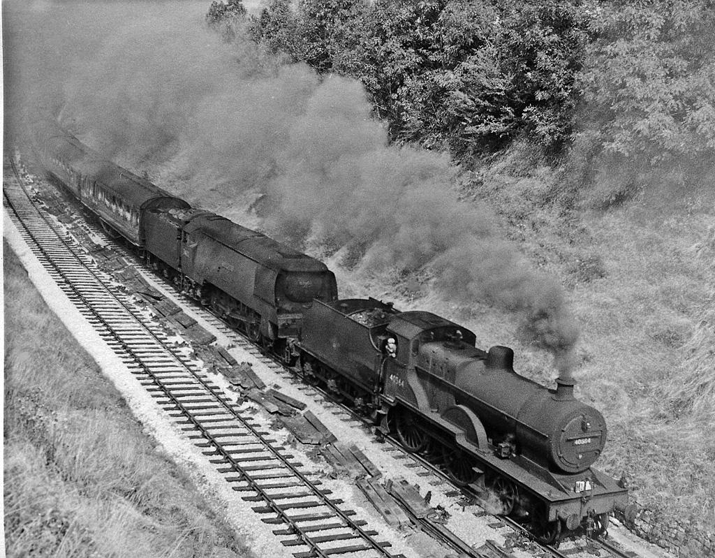
Transport links in Clapton are relatively limited, with no direct rail connections. However, the village is easily accessible by road, with the A303 and A358 providing convenient access to major cities such as Exeter and Bristol.
In conclusion, Clapton is a charming village nestled in the heart of Somerset. With its idyllic countryside setting, strong community spirit, and convenient location, it offers a peaceful and pleasant place to reside.
If you have any feedback on the listing, please let us know in the comments section below.
Clapton Images
Images are sourced within 2km of 51.278749/-2.511949 or Grid Reference ST6453. Thanks to Geograph Open Source API. All images are credited.


Clapton is located at Grid Ref: ST6453 (Lat: 51.278749, Lng: -2.511949)
Administrative County: Somerset
District: Mendip
Police Authority: Avon and Somerset
What 3 Words
///adjusting.embodied.crest. Near Chilcompton, Somerset
Nearby Locations
Related Wikis

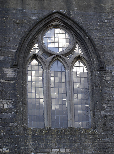
Church of St John the Baptist, Chilcompton
The Anglican Church of St John the Baptist in Chilcompton, within the English county of Somerset, was built in the 15th century. It is a Grade II* listed...
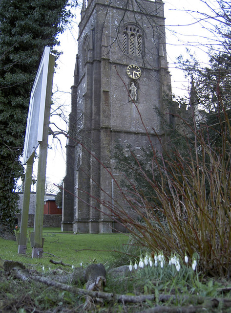
Chilcompton
Chilcompton is a village and civil parish in Somerset, England, situated in the Mendip Hills two miles south of Midsomer Norton and 3.0 miles south-west...

Somervale School
Somervale School is situated in Midsomer Norton in Bath and North East Somerset in South West England. The school, which has academy status, is a specialist...

Norton House, Somerset
Norton House was a mansion in Midsomer Norton, Somerset. It was built around 1789 by the Savage family, investors in mines in the Somerset Coalfield...
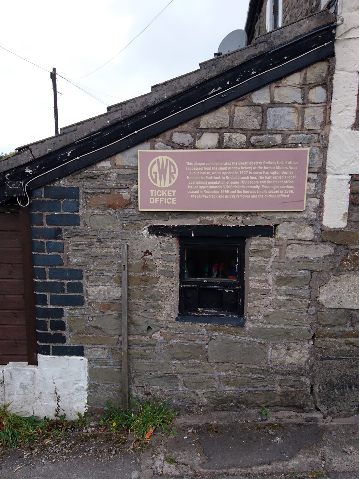
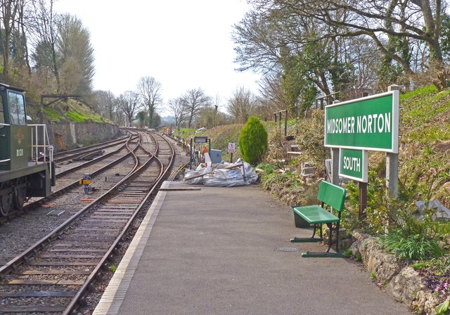
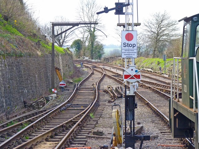
Farrington Gurney Halt railway station
Farrington Gurney Halt railway station served the village of Farrington Gurney, Somerset, England from 1927 to 1959 on the Bristol and North Somerset Railway...
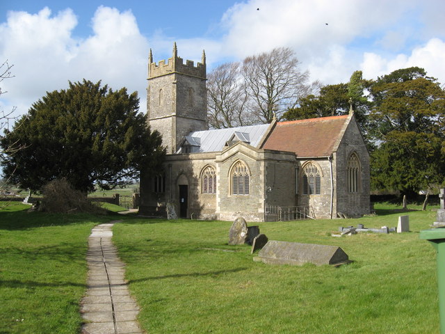
Church of St Mary the Virgin, Ston Easton
The Anglican Church of St Mary the Virgin in Ston Easton, Somerset, England, is a Grade II* listed building dating from the 11th century, with a 15th-century...

Church of St John the Baptist, Midsomer Norton
The Anglican Church of St John the Baptist in Midsomer Norton, Somerset, England, is a Grade II* listed building. St. John's is part of the Diocese of...
Chilcompton railway station
Chilcompton railway station was a station on the Somerset and Dorset Joint Railway at Chilcompton in the county of Somerset in England and opened on 20...
Nearby Amenities
Located within 500m of 51.278749,-2.511949Have you been to Clapton?
Leave your review of Clapton below (or comments, questions and feedback).