Bury Hill

Hill, Mountain in Herefordshire

England

Bury Hill

Entrance to Penyard House, 2 Detail of the unkempt grounds.
Entrance to Penyard House, 2 Credit: Jonathan Billinger

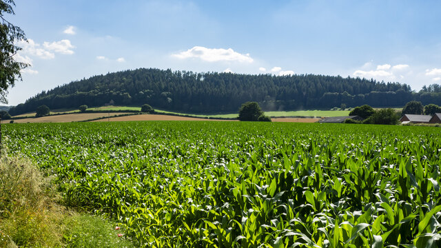
Bury Hill is a prominent hill located in the county of Herefordshire, England. It is situated in the eastern part of the county, near the town of Ledbury. Standing at an elevation of approximately 289 meters (948 feet), it is considered one of the highest points in the region.

The hill is part of the Malvern Hills Area of Outstanding Natural Beauty, which is known for its stunning landscapes and panoramic views. Bury Hill offers visitors an excellent vantage point to admire the surrounding countryside, including the nearby Malvern Hills.

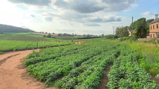
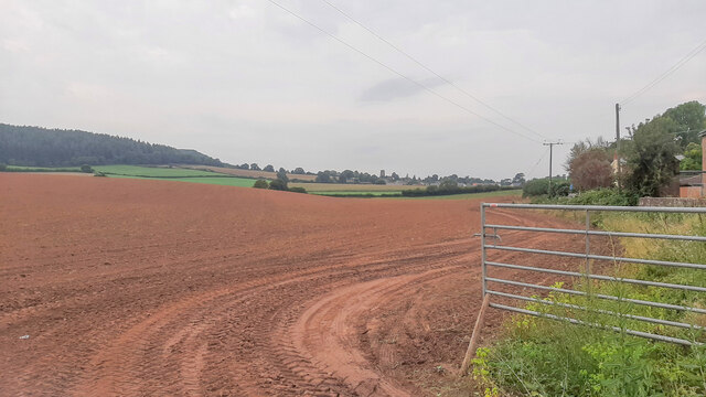
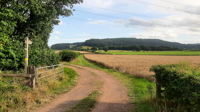
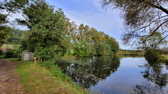
The terrain of Bury Hill is characterized by rolling hills and lush green valleys, making it a popular destination for nature lovers and outdoor enthusiasts. The hill is covered in a mixture of woodland and open grassland, providing a diverse habitat for various wildlife species, including birds, mammals, and insects.

There are several footpaths and trails that crisscross the hill, allowing visitors to explore the area on foot. These paths lead to the summit of Bury Hill, where a trig point can be found, offering breathtaking views of the surrounding countryside.

Bury Hill is also steeped in history, with evidence of human activity dating back to the Bronze Age. There are several ancient burial mounds and earthworks scattered across the hill, providing a glimpse into the area's rich past.

Overall, Bury Hill in Herefordshire is a stunning natural landmark that offers visitors a chance to immerse themselves in the beauty of the English countryside while also providing a glimpse into the region's history.

If you have any feedback on the listing, please let us know in the comments section below.
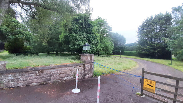
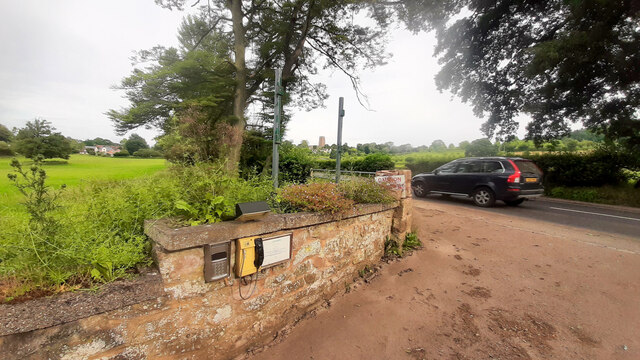
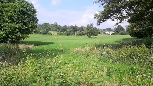
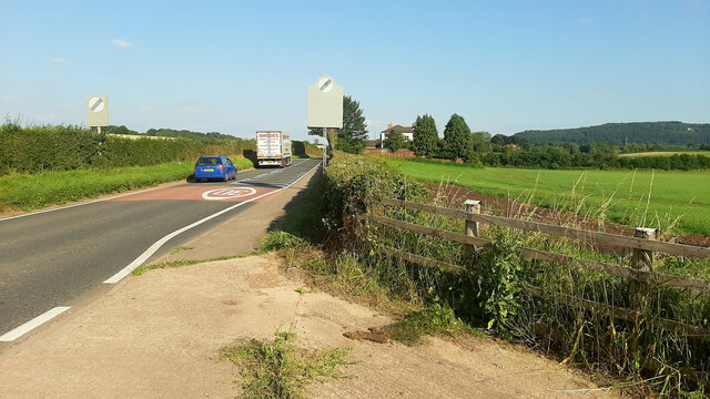
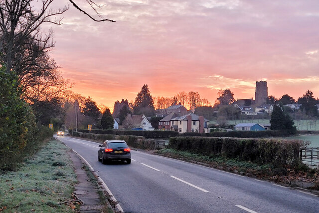
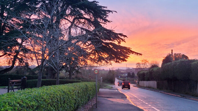
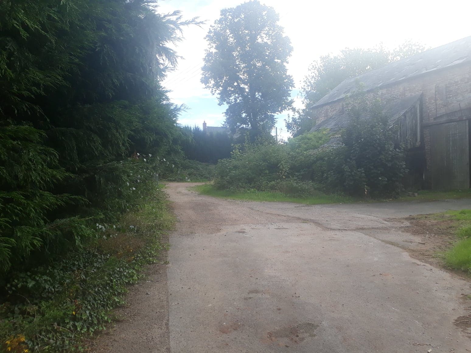
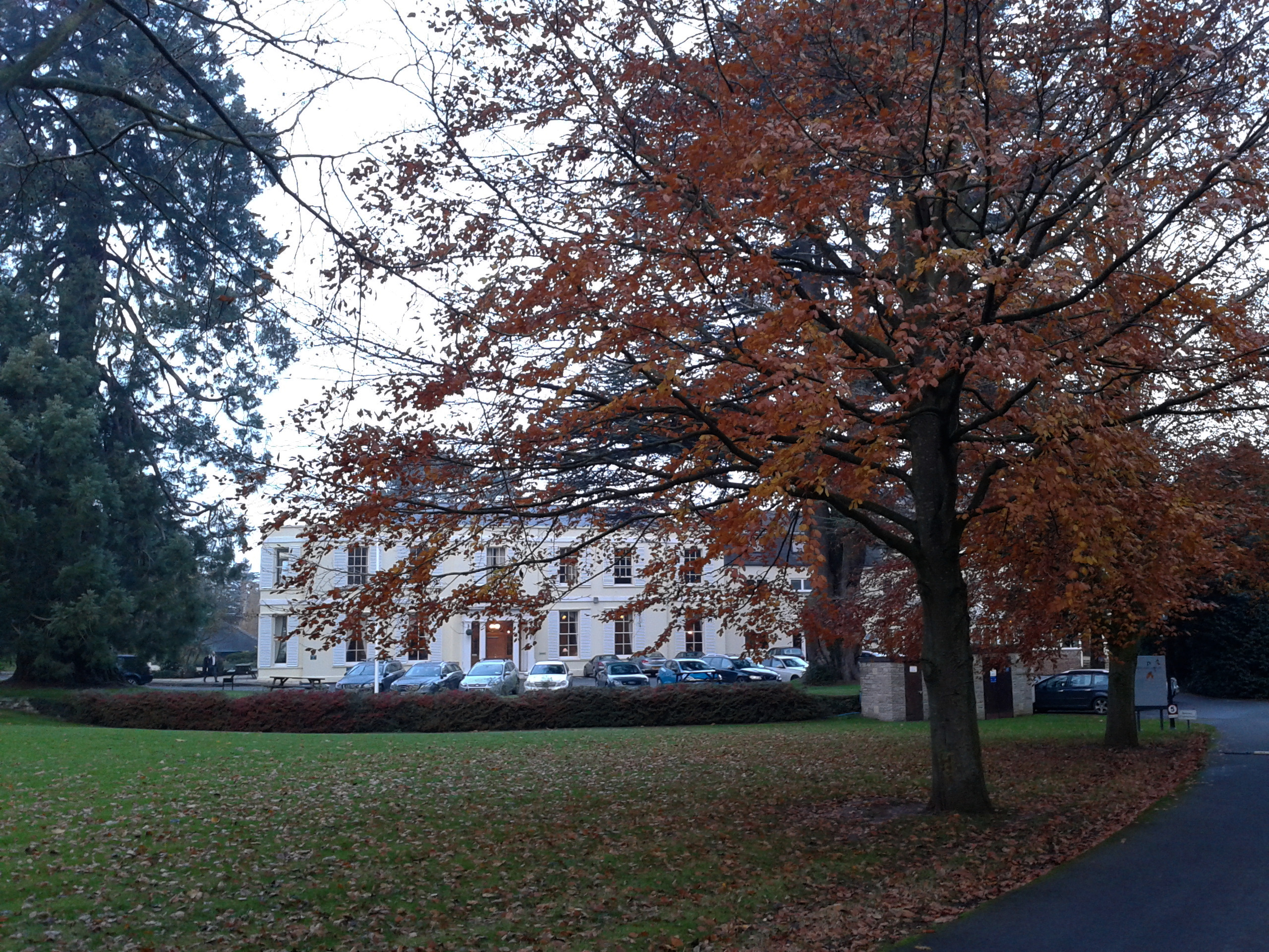
Bury Hill Images

Images are sourced within 2km of 51.907101/-2.5166091 or Grid Reference SO6423. Thanks to Geograph Open Source API. All images are credited.

Entrance to Penyard House, 2 Detail of the unkempt grounds.
Entrance to Penyard House, 2
Detail of the unkempt grounds.
Entrance to Penyard House, 3 Unused, part of the entrance is filling with silt from recent rainstorms.
Entrance to Penyard House, 3
Unused, part of the entrance is filling with silt from recent rainstorms.
Fields near Weston Farmland between Weston Village and Penyard House.
Fields near Weston
Farmland between Weston Village and Penyard House.
A40 west of Weston Looking east towards Gloucester.
A40 west of Weston
Looking east towards Gloucester.
View to Penyard Hill Penyard Hill and Wood viewed from across a large maize field to the east of Weston.
View to Penyard Hill
Penyard Hill and Wood viewed from across a large maize field to the east of Weston.
Harvesting beans at Ryeford The crop of french beans is being harvested on this Saturday evening.
Weston church in the distance.
Harvesting beans at Ryeford
The crop of french beans is being harvested on this Saturday evening. Weston church in the distance.
French beans A detail of the crop being harvested in <a href="https://www.geograph.org.uk/photo/6954011">SO6422 : Harvesting beans at Ryeford</a>.
French beans
A detail of the crop being harvested in SO6422 : Harvesting beans at Ryeford.
A40 Ryeford bends At the Pontshill (left) turn.
A40 Ryeford bends
At the Pontshill (left) turn.
After the beans Just over two weeks after <a href="https://www.geograph.org.uk/photo/6954011">SO6422 : Harvesting beans at Ryeford</a> and the field has been harvested, ploughed and cultivated ready for the next crop.
After the beans
Just over two weeks after SO6422 : Harvesting beans at Ryeford and the field has been harvested, ploughed and cultivated ready for the next crop.
Track and footpath towards East Dean See previous shot at this location, October 2019; <a href="https://www.geograph.org.uk/photo/6310400">SO6522 : Footpath towards East Dean</a>.
Track and footpath towards East Dean
See previous shot at this location, October 2019; SO6522 : Footpath towards East Dean.
Giants of the landscape A double line of pylons carry the power across South Herefordshire near Lea.
Giants of the landscape
A double line of pylons carry the power across South Herefordshire near Lea.
A40 by Wharton Lodge Looking west towards Ross-on-Wye.
A40 by Wharton Lodge
Looking west towards Ross-on-Wye.
Defibrillator station, Weston under Penyard Probably the best use of a redundant phone box.
Defibrillator station, Weston under Penyard
Probably the best use of a redundant phone box.
Church Lane, Weston under Penyard Lane turns into a track and public path onto Penyard Hill.
Church Lane, Weston under Penyard
Lane turns into a track and public path onto Penyard Hill.
A40 at Weston under Penyard A former village shop on the right and The Weston Cross PH on the left side of the road.
Looking eats towards Gloucester.
A40 at Weston under Penyard
A former village shop on the right and The Weston Cross PH on the left side of the road. Looking eats towards Gloucester.
Frogmore pond reflections The small building is a pumphouse as this is an irrigation pond.
Frogmore pond reflections
The small building is a pumphouse as this is an irrigation pond.
Early morning, A40, Weston Under Penyard, 1 Commuters heading east towards Gloucester into a brief pink winter dawn.
Early morning, A40, Weston Under Penyard, 1
Commuters heading east towards Gloucester into a brief pink winter dawn.
Early morning, A40, Weston Under Penyard, 2 Commuters heading east towards Gloucester into a brief pink winter dawn.
The tree is a fine cedar at Hunsdon Manor.
Early morning, A40, Weston Under Penyard, 2
Commuters heading east towards Gloucester into a brief pink winter dawn. The tree is a fine cedar at Hunsdon Manor.
Show me another place!

Bury Hill is located at Grid Ref: SO6423 (Lat: 51.907101, Lng: -2.5166091)

Unitary Authority: County of Herefordshire

Police Authority: West Mercia

What 3 Words

///hang.telephone.prayers. Near Lea, Herefordshire

Nearby Locations

Bury Hill

Related Wikis

Ariconium

Ariconium was a road station of Roman Britain mentioned in Iter XIII of the Iter Britanniarum of the Antonine Itineraries. It was located at Bury Hill...

Weston under Penyard Halt railway station

Weston under Penyard Halt railway station is a disused wood built railway station that served the village of Weston under Penyard in Herefordshire on the...

Weston under Penyard

Weston under Penyard is a small village in Herefordshire, England. The population of the civil parish at the 2011 Census was 1,007.It lies on the A40 road...

Burton Court, Linton

Burton Court is a grade II listed, large country house near Linton, Penyard, Herefordshire, England.The house is of brick-faced stone, with five bays....

Penyard House, Ross-on-Wye

Penyard House, Weston under Penyard near Ross-on-Wye is a building of historical significance. It appears to have been built in about 1821 by a wealthy...

Lea, Herefordshire

Lea (or The Lea) is a village and civil parish in the south east of Herefordshire. It lies south-east of Ross-on-Wye and adjoins the boundary of Gloucestershire...

Mitcheldean Road railway station

Mitcheldean Road railway station was a railway station that served the town of Mitcheldean 1.5 miles (2.4 km) to the south and the village of Lea in Herefordshire...

Linton (near Ross-on-Wye)

Linton is a village and civil parish in south-east Herefordshire, England, approximately 3 miles (5 km) east of Ross-on-Wye. The village church of St Mary...

Nearby Amenities

Located within 500m of 51.907101,-2.5166091
Bury Hill
Ele: 100
Natural: peak
Lat/Long: 51.9092742/-2.5211595
Power: pole
Lat/Long: 51.9092461/-2.510268
Power: pole
Lat/Long: 51.9096126/-2.5114328
Power: pole
Lat/Long: 51.9101851/-2.5126391
Power: pole
Lat/Long: 51.9108006/-2.5138461
Power: pole
Lat/Long: 51.9113363/-2.5149357
Greenway
Power: pole
Transformer: distribution
Voltage Primary: 11000
Lat/Long: 51.9038743/-2.520512
Power: pole
Lat/Long: 51.9033596/-2.5196537
The data included in this document is from www.openstreetmap.org. The data is made available under ODbL.

Have you been to Bury Hill?

Leave your review of Bury Hill below (or comments, questions and feedback).