Woodbank Hill

Hill, Mountain in Worcestershire Malvern Hills

England

Woodbank Hill

Farmhouse near Stoke Bliss Stubble field and farmhouse near Stoke Bliss.
Farmhouse near Stoke Bliss Credit: Philip Halling

Woodbank Hill is a prominent natural feature located in Worcestershire, England. Situated in the northwestern part of the county, it is categorized as a hill rather than a mountain due to its elevation of approximately 200 meters (656 feet) above sea level. The hill is part of the wider Malvern Hills range, which stretches across Worcestershire and Herefordshire.

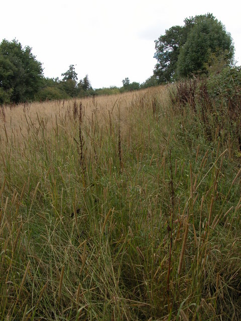
Woodbank Hill is known for its picturesque views and stunning natural surroundings. Covered in lush green vegetation, the hill offers a diverse range of plant species, including heather, bracken, and various wildflowers. The area is also home to a variety of wildlife, such as rabbits, foxes, and various bird species.

The hill is a popular destination for outdoor enthusiasts and nature lovers alike. It offers several walking trails and hiking routes, allowing visitors to explore its scenic beauty and enjoy the peaceful ambiance. The summit of Woodbank Hill provides panoramic views of the surrounding countryside, with glimpses of neighboring towns and villages nestled amidst rolling hills and valleys.

The hill's location near the towns of Malvern and Worcester makes it easily accessible for both locals and tourists. Additionally, there are ample parking facilities and nearby amenities, including cafes and picnic areas, making it an ideal spot for a day trip or a leisurely stroll in nature.

Overall, Woodbank Hill in Worcestershire offers a serene escape from the hustle and bustle of everyday life, providing an opportunity to connect with nature and appreciate the beauty of the English countryside.

If you have any feedback on the listing, please let us know in the comments section below.

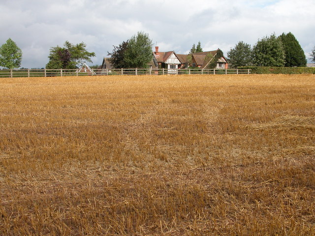
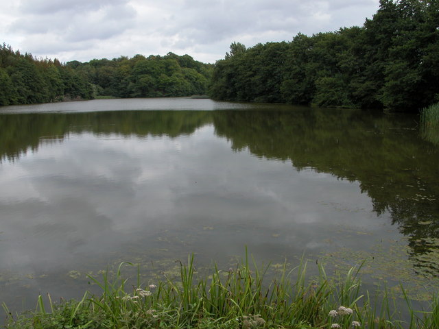
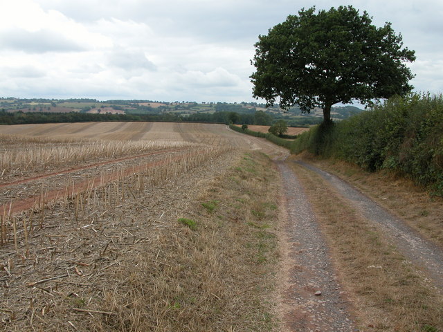
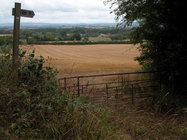
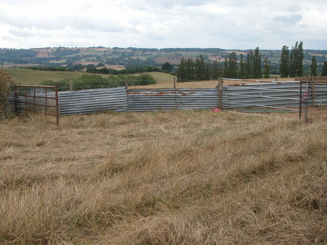
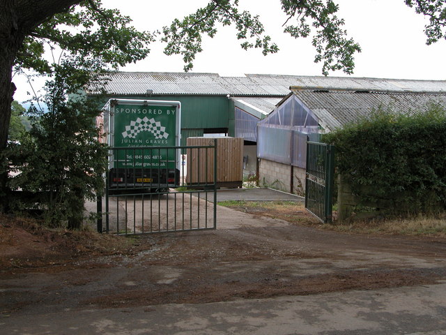
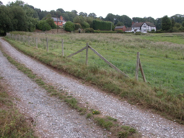
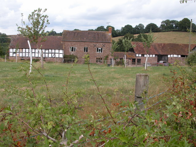
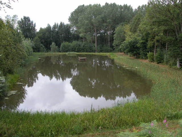
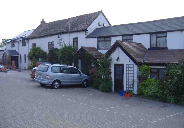
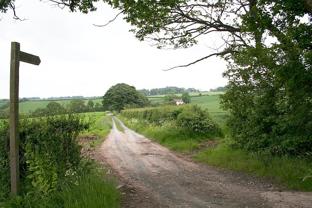
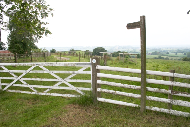
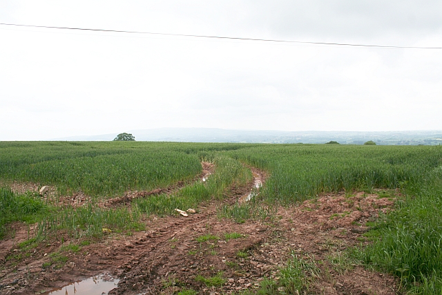
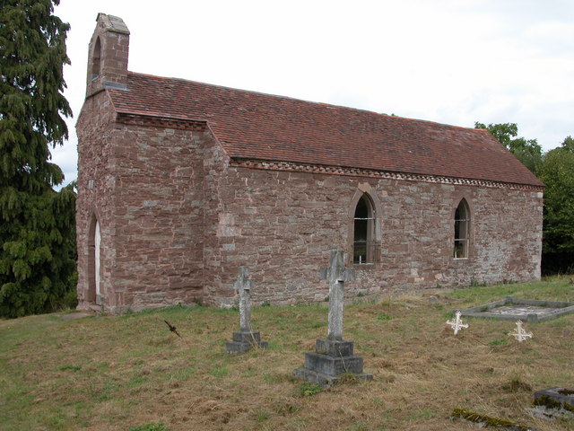
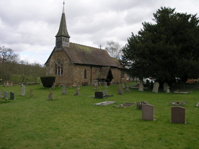
Woodbank Hill Images

Images are sourced within 2km of 52.281226/-2.5211854 or Grid Reference SO6464. Thanks to Geograph Open Source API. All images are credited.

Farmhouse near Stoke Bliss Stubble field and farmhouse near Stoke Bliss.
Farmhouse near Stoke Bliss
Stubble field and farmhouse near Stoke Bliss.
Kyre Pool Kyre Pool is situated in a former deer park.
Kyre Pool
Kyre Pool is situated in a former deer park.
Farm track at SO638652 View to the west
Farm track at SO638652
View to the west
Newhouse Farm, Hanley Child View from the footpath at SO645651.
Newhouse Farm, Hanley Child
View from the footpath at SO645651.
Hanley Child Church This small church in the isolated parish of Hanley Child is dedicated to St Michael and All Angels.
Hanley Child Church
This small church in the isolated parish of Hanley Child is dedicated to St Michael and All Angels.
Livestock pens, Hanley Child These livestock pens are in a field just to the west of Hanley Child.
Livestock pens, Hanley Child
These livestock pens are in a field just to the west of Hanley Child.
Farm buildings, Hanley Child Farm buildings at SO657644.
Farm buildings, Hanley Child
Farm buildings at SO657644.
Drive to Upper House Farm, Stoke Bliss
Bridleway on Stoke Hill A bridleway crosses this field of rough grass, but the length of the grass indicates the bridleway is little used.
Bridleway on Stoke Hill
A bridleway crosses this field of rough grass, but the length of the grass indicates the bridleway is little used.
Farm at Hanley Child Farmhouse and building near the small church.
Farm at Hanley Child
Farmhouse and building near the small church.
Smaller pool below Kyre Pool This smaller pool is situated just to the west of the Kyre Pool, though it is not shown on the OS map.
Smaller pool below Kyre Pool
This smaller pool is situated just to the west of the Kyre Pool, though it is not shown on the OS map.
The Tally-Ho Inn, Broad Heath
West Villa, Rectory Road, Broad Heath
Childsgrove Farm Taken from the start of the lane at a point where five routes converge, though one is now just a public footpath blocked by crops.
Childsgrove Farm
Taken from the start of the lane at a point where five routes converge, though one is now just a public footpath blocked by crops.
Start of the Bridleway by Hill Top Farm The bridleway goes all the way down to a mill site and then on to Newhouse Farm.
Start of the Bridleway by Hill Top Farm
The bridleway goes all the way down to a mill site and then on to Newhouse Farm.
Footpath to Highwood Looking from a junction of five roads and paths, one of the paths goes across this field - now ploughed up and planted. Lying on the ground is the remains of a 3" X 3" wooden post - very similar to those indicating a public footpath.
Footpath to Highwood
Looking from a junction of five roads and paths, one of the paths goes across this field - now ploughed up and planted. Lying on the ground is the remains of a 3" X 3" wooden post - very similar to those indicating a public footpath.
Broad Heath Water Tower
Road to Lodge Farm The farm complies with EFSIS-FABBL industry certification standards, see; <span class="nowrap"><a title="http://www.fabbl.co.uk/abm.asp" rel="nofollow ugc noopener" href="http://www.fabbl.co.uk/abm.asp">Link</a><img style="margin-left:2px;" alt="External link" title="External link - shift click to open in new window" src="https://s1.geograph.org.uk/img/external.png" width="10" height="10"/></span>
Road to Lodge Farm
The farm complies with EFSIS-FABBL industry certification standards, see; LinkExternal link
Show me another place!

Woodbank Hill is located at Grid Ref: SO6464 (Lat: 52.281226, Lng: -2.5211854)

Administrative County: Worcestershire

District: Malvern Hills

Police Authority: West Mercia

What 3 Words

///sheds.cracking.excusing. Near Collington, Herefordshire

Related Wikis

Hanley Child

Hanley Child is a village and former civil parish, now in the parish of Hanley, in the Malvern Hills district, in the county of Worcestershire, England...

Stoke Bliss

Stoke Bliss is a small village and civil parish (with a shared parish council with neighbouring Kyre and Bockleton) in the Malvern Hills district of the...

Hanley, Worcestershire

Hanley is a civil parish in the district of Malvern Hills in the county of Worcestershire, England. Hanley William and Hanley Child are places within the...

Kyre

Kyre is a small village and civil parish in the Malvern Hills district of the county of Worcestershire, England, and shares its parish council with neighbouring...

Bank Street, Worcestershire

Bank Street is a village in Malvern Hills District, Worcestershire, England.

Hanley William

Hanley William is a village and former civil parish, now in the parish of Hanley, in the Malvern Hills district, in the county of Worcestershire, England...

Eastham, Worcestershire

Eastham is a village and civil parish in the Malvern Hills District in the county of Worcestershire, England. It had a population of 254 in 2021.Eastham...

Rochford, Worcestershire

Rochford consists of two hamlets, Lower and Upper Rochford. A civil parish in the Malvern Hills District near Tenbury Wells, in the county of Worcestershire...

Related Videos

London Eastham Park | लंदन के पार्क कैसे होते हैँ ? Playground For Kids

London park | playground for children लंदन के पार्क कैसे होते हैँ ?

Nearby Amenities

Located within 500m of 52.281226,-2.5211854
Bus Stop
Hanley Child-Town Farm
Naptan AtcoCode: 2000G199900
Naptan Bearing: NW
Naptan CommonName: Hanley Child-Town Farm
Naptan Indicator: Adj
Naptan Landmark: Town Farm
Naptan NaptanCode: wocdpapj
Naptan Street: Bell Lane
Naptan Verified: no
Source: naptan_import
Lat/Long: 52.2827869/-2.5173639
Hanley Childe
Place: hamlet
Source: survey
Lat/Long: 52.2824231/-2.5152926
Barrier: stile
Lat/Long: 52.2825582/-2.5205702
Power: pole
Lat/Long: 52.2836567/-2.5253722
Power: pole
Lat/Long: 52.2828904/-2.5240821
Power: pole
Lat/Long: 52.2824289/-2.5233076
Power: pole
Lat/Long: 52.2823587/-2.522749
Stoney Ford
Power: pole
Transformer: distribution
Voltage Primary: 11000
Lat/Long: 52.2822529/-2.5219028
Power: pole
Lat/Long: 52.2826471/-2.5212859
Power: pole
Lat/Long: 52.2830294/-2.5207642
Power: pole
Lat/Long: 52.2833884/-2.520211
Power: pole
Lat/Long: 52.2837043/-2.5192983
Power: pole
Lat/Long: 52.2835923/-2.5179975
Hanley Child
Power: pole
Transformer: distribution
Voltage Primary: 11000
Lat/Long: 52.2834512/-2.5164056
Upper Villa
Power: pole
Transformer: distribution
Voltage Primary: 11000
Lat/Long: 52.2823633/-2.5144543
Power: pole
Lat/Long: 52.2827497/-2.5147426
Power: pole
Lat/Long: 52.2831968/-2.5150953
Power: pole
Lat/Long: 52.2837112/-2.5150833
The data included in this document is from www.openstreetmap.org. The data is made available under ODbL.

Have you been to Woodbank Hill?

Leave your review of Woodbank Hill below (or comments, questions and feedback).