Maes Down

Hill, Mountain in Somerset Mendip

England

Maes Down

Old Milepost by A371, top of hill by Prestleigh Welcome sign The Milepost is located in hedge, on verge by West side of the road.  Parish of Doulting (Mendip District). Cast iron post, plated iron casting design, erected by the Shepton Mallet turnpike trust in the 19th Century, piece broken off north face; fractures. An earlier photograph can be found here: <a title="https://www.geograph.org.uk/photo/6037504" href="https://www.geograph.org.uk/photo/6037504">Link</a> 

Inscription reads:-  
SHEPTON / MALLET / 2 : : CASTLE / CARY / 6 : : BRUTON / 5  

Grade II listed. List Entry Number: 1217657 <span class="nowrap"><a title="https://historicengland.org.uk/listing/the-list/list-entry/1217657" rel="nofollow ugc noopener" href="https://historicengland.org.uk/listing/the-list/list-entry/1217657">Link</a><img style="margin-left:2px;" alt="External link" title="External link - shift click to open in new window" src="https://s1.geograph.org.uk/img/external.png" width="10" height="10"/></span> 

Milestone Society National ID: SO_SMCC02
Old Milepost by A371, top of hill by Prestleigh Welcome sign Credit: JR Dowding

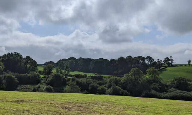
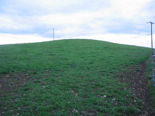
Maes Down, Somerset is a picturesque hill located in the southwestern part of England, near the village of Exmoor. With an elevation of approximately 400 meters (1,312 feet), it offers breathtaking views of the surrounding countryside and nearby coastlines.

The hill is characterized by its rolling green slopes, covered in lush grass and scattered with wildflowers. It is a popular destination for hikers, nature enthusiasts, and photographers due to its tranquil and untouched beauty. The hill provides various walking trails, ranging from leisurely strolls to more challenging hikes, allowing visitors to explore its diverse flora and fauna.

At the summit of Maes Down, visitors are rewarded with panoramic vistas that stretch across the Bristol Channel and the rolling hills of Somerset. On a clear day, the view can extend as far as the Welsh coastline, offering a truly unforgettable experience.

The hill is also home to a rich diversity of wildlife, including various bird species, such as buzzards and kestrels, as well as rare butterflies and wild deer. This makes Maes Down a haven for nature lovers who can immerse themselves in the tranquility of the countryside.

In addition to its natural beauty, Maes Down holds historical significance. The hill is believed to have been used as a settlement during the Iron Age, with remnants of ancient earthworks and burial mounds still visible today.

Overall, Maes Down, Somerset is a must-visit destination for those seeking to escape the hustle and bustle of everyday life and immerse themselves in the stunning natural landscapes and rich history of the region.

If you have any feedback on the listing, please let us know in the comments section below.
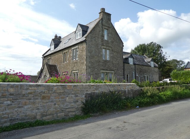
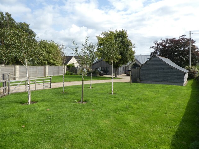
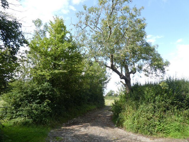
Maes Down Images

Images are sourced within 2km of 51.164531/-2.5081232 or Grid Reference ST6440. Thanks to Geograph Open Source API. All images are credited.

Old Milepost by A371, top of hill by Prestleigh Welcome sign The Milepost is located in hedge, on verge by West side of the road.  Parish of Doulting (Mendip District). Cast iron post, plated iron casting design, erected by the Shepton Mallet turnpike trust in the 19th Century, piece broken off north face; fractures. An earlier photograph can be found here: <a title="https://www.geograph.org.uk/photo/6037504" href="https://www.geograph.org.uk/photo/6037504">Link</a> 

Inscription reads:-  
SHEPTON / MALLET / 2 : : CASTLE / CARY / 6 : : BRUTON / 5  

Grade II listed. List Entry Number: 1217657 <span class="nowrap"><a title="https://historicengland.org.uk/listing/the-list/list-entry/1217657" rel="nofollow ugc noopener" href="https://historicengland.org.uk/listing/the-list/list-entry/1217657">Link</a><img style="margin-left:2px;" alt="External link" title="External link - shift click to open in new window" src="https://s1.geograph.org.uk/img/external.png" width="10" height="10"/></span> 

Milestone Society National ID: SO_SMCC02
Old Milepost by A371, top of hill by Prestleigh Welcome sign
The Milepost is located in hedge, on verge by West side of the road.  Parish of Doulting (Mendip District). Cast iron post, plated iron casting design, erected by the Shepton Mallet turnpike trust in the 19th Century, piece broken off north face; fractures. An earlier photograph can be found here: Link  Inscription reads:- SHEPTON / MALLET / 2 : : CASTLE / CARY / 6 : : BRUTON / 5 Grade II listed. List Entry Number: 1217657 LinkExternal link Milestone Society National ID: SO_SMCC02
Doulting : Prestleigh : Royal Bath & West Showground Looking across the avenues at the showground.
Doulting : Prestleigh : Royal Bath & West Showground
Looking across the avenues at the showground.
Doulting : Prestleigh : Royal Bath & West Showground A busy scene at the Royal Bath & West Show.
Doulting : Prestleigh : Royal Bath & West Showground
A busy scene at the Royal Bath & West Show.
Maes Down Farm
Maes Down Farm
'Hilltops'
'Hilltops'
Farm track, north of Chesterblade Road
Former 'Mission' Chapel, Prestleigh
Cottages, Prestleigh
Mill House Farm
Mill House Farm
'Hoppers Hole'
'Hoppers Hole'
Reservoir on Prestleigh Lane
Power lines above Prestleigh
Roundabout at Whitstone Corner
Steam engine in the distance near Doulting
Morris Minor Traveller, Footman James 32nd Bristol Classic Car Show, Shepton Mallet Showground Three days shy of its 43rd birthday, an immaculate Traveller has its bonnet open to show an engine bay you could eat your dinner off. The woodwork isn't for show alone; it's an integral part of the structural integrity of the vehicle.
Morris Minor Traveller, Footman James 32nd Bristol Classic Car Show, Shepton Mallet Showground
Three days shy of its 43rd birthday, an immaculate Traveller has its bonnet open to show an engine bay you could eat your dinner off. The woodwork isn't for show alone; it's an integral part of the structural integrity of the vehicle.
Footman James 32nd Bristol Classic Car Show 2011 This is the car park reserved for visitors driving classic cars. The term is a loose one and includes Ford, Alfas, Morrises, Volvos, Mercs, Rovers, MGs and Subarus.
Footman James 32nd Bristol Classic Car Show 2011
This is the car park reserved for visitors driving classic cars. The term is a loose one and includes Ford, Alfas, Morrises, Volvos, Mercs, Rovers, MGs and Subarus.
Not a pre-war SS Jaguar, Footman James 32nd Bristol Classic Car Show 2011 This beautiful machine is not as it appears, which is an early SS Jaguar. The name 'SS' originally stood for Swallow Sidecars, the forerunner of the far better-known Jaguar marque. The use of the SS tag was dropped later in the 1930s after it was hijacked by Hitler in the same decade and the Jaguar name was used instead. Turning to the car seen here, it is a replica based on a 1970 Jaguar XJS.
Not a pre-war SS Jaguar, Footman James 32nd Bristol Classic Car Show 2011
This beautiful machine is not as it appears, which is an early SS Jaguar. The name 'SS' originally stood for Swallow Sidecars, the forerunner of the far better-known Jaguar marque. The use of the SS tag was dropped later in the 1930s after it was hijacked by Hitler in the same decade and the Jaguar name was used instead. Turning to the car seen here, it is a replica based on a 1970 Jaguar XJS.
1965 Morris Minor, Footman James 32nd Bristol Classic Car Show 2011 Not quite in concours condition, nevertheless this iconic British motorcar designed by Alec Issigonis deserves its place in the reserved car park as does the well-maintained Mark III Ford Cortina it sits alongside.
1965 Morris Minor, Footman James 32nd Bristol Classic Car Show 2011
Not quite in concours condition, nevertheless this iconic British motorcar designed by Alec Issigonis deserves its place in the reserved car park as does the well-maintained Mark III Ford Cortina it sits alongside.
Show me another place!

Maes Down is located at Grid Ref: ST6440 (Lat: 51.164531, Lng: -2.5081232)

Administrative County: Somerset

District: Mendip

Police Authority: Avon and Somerset

What 3 Words

///broad.occurs.hindered. Near Evercreech, Somerset

Nearby Locations

Maes Down Maes Down

Related Wikis

Maes Down

Maes Down (grid reference ST647406) is a 0.2 hectare geological Site of Special Scientific Interest between Shepton Mallet and Stoney Stratton in Somerset...

Royal Bath and West of England Society

The Royal Bath and West of England Society is a charitable society founded in 1777 to promote and improve agriculture and related activities around the...

Royal Bath and West Show

The Royal Bath and West is an agricultural show for the West of England. Held every year at its permanent show ground near Shepton Mallet, Somerset, it...

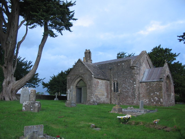
Church of St Mary, Chesterblade

The Anglican Church of St Mary in Chesterblade, Somerset, England was built in the 12th century. It is a Grade II* listed building. It is located 3 miles...

Doulting Railway Cutting

Doulting Railway Cutting (grid reference ST648424) is a 2.8 hectare geological Site of Special Scientific Interest in Somerset, notified in 1971. The cutting...

Mendip Vale railway station

Mendip Vale is the western terminus of the East Somerset Railway. == Services == All trains terminate at Mendip Vale, with a 5-10 minute wait while the...

Small Down Knoll

Small Down Knoll, or Small Down Camp, is a Bronze Age hill fort near Evercreech in Somerset, England. The hill is on the southern edge of the Mendip Hills...

Merryfield Lane railway station

Merryfield Lane Halt is a railway station at the summit of the East Somerset Railway. It was built in 1981 and originally served as the terminus of the...

Nearby Amenities

Located within 500m of 51.164531,-2.5081232
Maes Down
Ele: 207
Natural: peak
Source: NPE
Lat/Long: 51.1646562/-2.507894
Maes Down Farm
Place: isolated_dwelling
Source: OS7
Lat/Long: 51.1605156/-2.505743
The data included in this document is from www.openstreetmap.org. The data is made available under ODbL.

Have you been to Maes Down?

Leave your review of Maes Down below (or comments, questions and feedback).