Beechen Hill

Hill, Mountain in Gloucestershire Forest of Dean

England

Beechen Hill

Hicksters Ways bat roost A fabricated bat roost at Hicksters Ways in the Forest of Dean.
Hicksters Ways bat roost Credit: Philip Halling

Beechen Hill is a prominent hill located in the county of Gloucestershire, England. It forms part of the Cotswold Hills, an Area of Outstanding Natural Beauty renowned for its picturesque landscapes and charming villages. Standing at an elevation of approximately 267 meters (876 feet), Beechen Hill offers breathtaking panoramic views of the surrounding countryside.

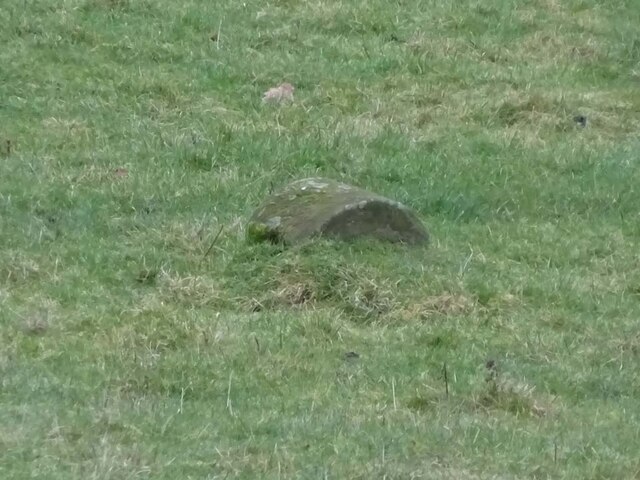
The hill is characterized by its gentle slopes and lush greenery, covered with a mix of grasses, wildflowers, and small shrubs. It is primarily composed of limestone, a common feature of the Cotswold Hills, which gives the area its distinctive golden hue.

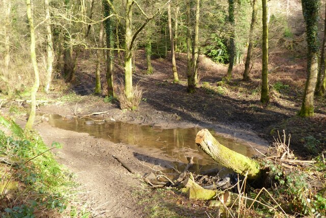
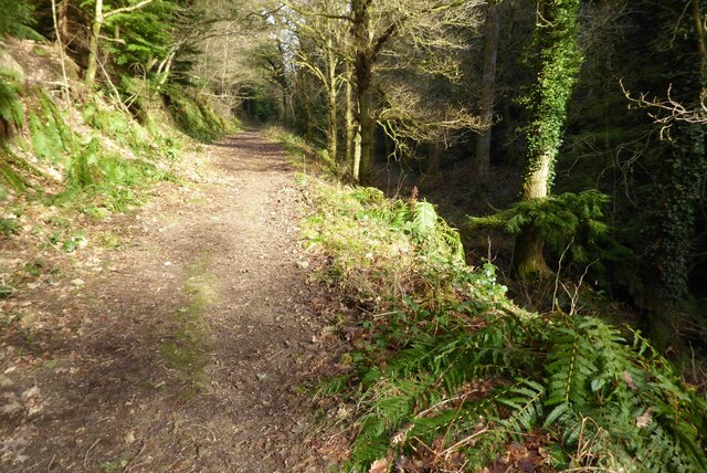
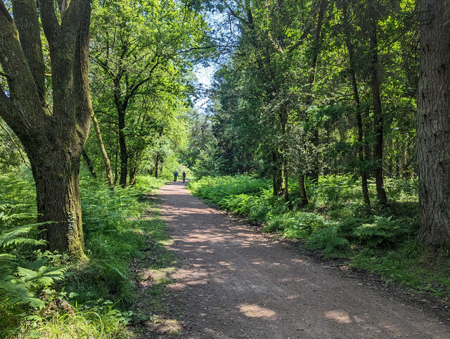
Beechen Hill is a popular destination for nature enthusiasts and walkers, as it offers various footpaths and trails that allow visitors to explore the area's natural beauty. These paths wind through meadows and woodlands, providing opportunities to spot local wildlife such as rabbits, foxes, and a variety of bird species.

The hill also holds historical significance, with evidence of human activity dating back thousands of years. Archaeological findings suggest that Beechen Hill was inhabited during the Iron Age, and remnants of ancient settlements and burial mounds can still be found in the vicinity.

Overall, Beechen Hill is a tranquil and captivating destination, offering both natural beauty and cultural heritage. Whether it's for a leisurely walk, a picnic with a view, or an exploration of the area's history, Beechen Hill provides a serene and captivating experience for visitors of all ages.

If you have any feedback on the listing, please let us know in the comments section below.
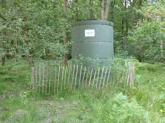
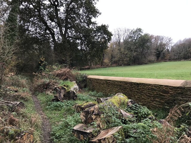
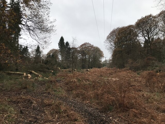
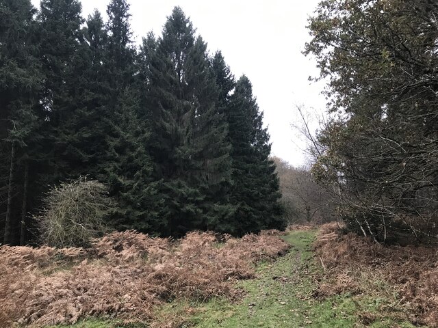
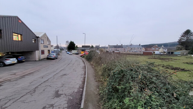
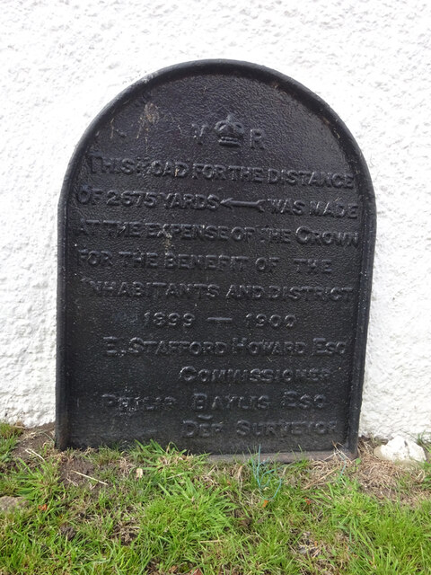
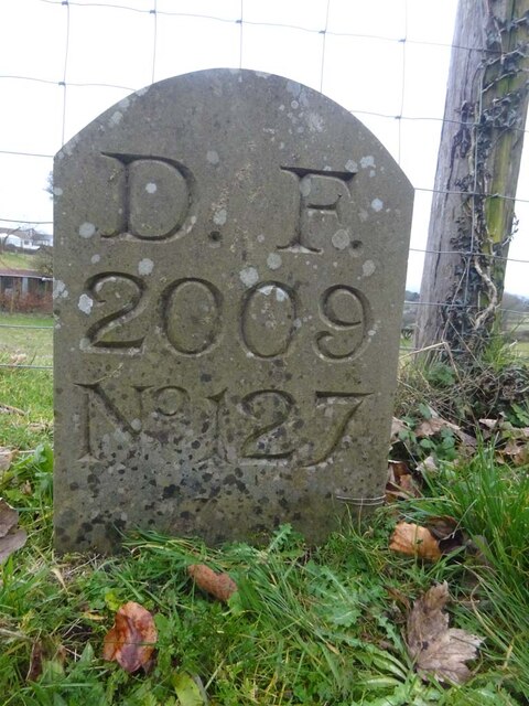
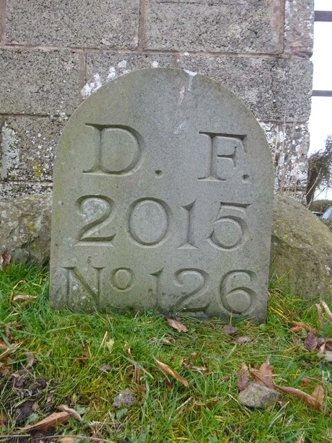
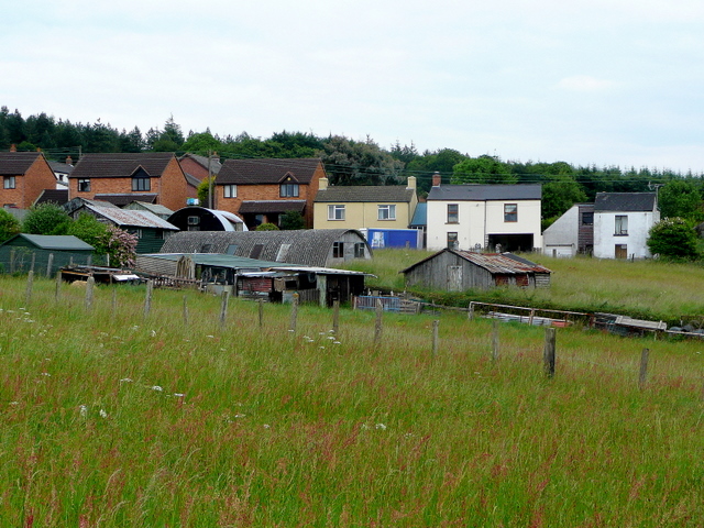
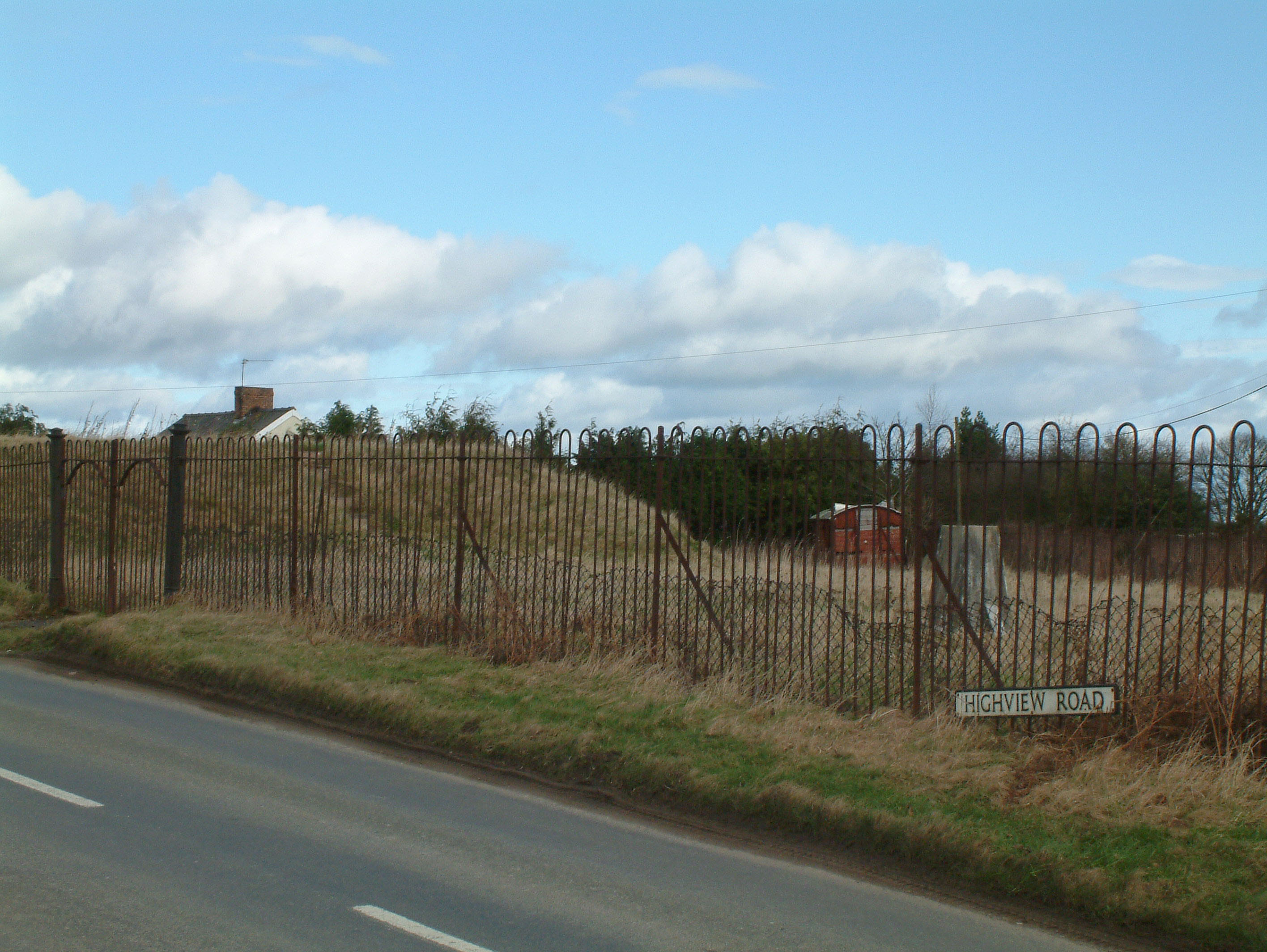
Beechen Hill Images

Images are sourced within 2km of 51.840777/-2.5201456 or Grid Reference SO6415. Thanks to Geograph Open Source API. All images are credited.

Hicksters Ways bat roost A fabricated bat roost at Hicksters Ways in the Forest of Dean.
Hicksters Ways bat roost
A fabricated bat roost at Hicksters Ways in the Forest of Dean.
Overgrown pathway
Overgrown pathway
Repaired wall
Repaired wall
Felled trees
Felled trees
Course of old railway
Newtown Road, Steam Mills Post-industrial landscape.
Newtown Road, Steam Mills
Post-industrial landscape.
Commemorative Plate, Ruardean On the wall of a corner house in Meend Lane (with Barn Lane).

Inscription:
V(crown)R
This road for the distance
of 2675 ↢ yards was made
at the expense of the crown
for the benefit of the
inhabitants and district
1899 - 1900
E.Stafford Howard Esq
Commissioner
Philip Baylis Esq
Dep Surveyor

Milestone Society National ID: GL_DRYBR01cm
Commemorative Plate, Ruardean
On the wall of a corner house in Meend Lane (with Barn Lane). Inscription: V(crown)R This road for the distance of 2675 ↢ yards was made at the expense of the crown for the benefit of the inhabitants and district 1899 - 1900 E.Stafford Howard Esq Commissioner Philip Baylis Esq Dep Surveyor Milestone Society National ID: GL_DRYBR01cm
Boundary Stone, Ruardean Woodside Royal Forest of Dean boundary stone on the West side of Walker's Lane opposite the farmyard entrance. It also marks the boundary between Ruardean and East Dean, Gloucestershire.

Inscription: D. F. / 2009 / Nᴼ. 127

Milestone Society National ID: GL_DFDRRU127em
Boundary Stone, Ruardean Woodside
Royal Forest of Dean boundary stone on the West side of Walker's Lane opposite the farmyard entrance. It also marks the boundary between Ruardean and East Dean, Gloucestershire. Inscription: D. F. / 2009 / Nᴼ. 127 Milestone Society National ID: GL_DFDRRU127em
Boundary Stone, Ruardean Woodside Forest of Dean boundary stone on the West side of Walker's Lane and adjacent to Gloucestershire footpath DRD45.

Inscription: D. F. / 2015 / Nᴼ. 126

Milestone Society National ID: GL_DFDRRU126em
Boundary Stone, Ruardean Woodside
Forest of Dean boundary stone on the West side of Walker's Lane and adjacent to Gloucestershire footpath DRD45. Inscription: D. F. / 2015 / Nᴼ. 126 Milestone Society National ID: GL_DFDRRU126em
Boundary Stone, Ruardean Hill Forest of Dean boundary stone at the corner of Spout Lane and a stile on Gloucestershire footpath DRD41.

Inscription: D. F. / 1832 / Nᴼ. 128

Milestone Society National ID: GL_DFDRRU128em
Boundary Stone, Ruardean Hill
Forest of Dean boundary stone at the corner of Spout Lane and a stile on Gloucestershire footpath DRD41. Inscription: D. F. / 1832 / Nᴼ. 128 Milestone Society National ID: GL_DFDRRU128em
Boundary Stone, Ruardean Walk Forest of Dean boundary marker in the garden of "Morse View" on the North side of Spout Lane.

Inscription: D. F. / 1832 / Nᴼ. 129

Milestone Society National ID: GL_DFDRRU129em
Boundary Stone, Ruardean Walk
Forest of Dean boundary marker in the garden of "Morse View" on the North side of Spout Lane. Inscription: D. F. / 1832 / Nᴼ. 129 Milestone Society National ID: GL_DFDRRU129em
Boundary Stone & horse trough, Swish Lane Modern horse trough (2003) and Forest of Dean boundary stone set in a feature garden with hanging evergreen plants. And aphorisms. In the Ruardean Hill/Ruardean Walk area.

Inscription: D. F. / 1832 / Nᴼ. 130 / ―

Milestone Society National ID: GL_DFDRRU130em
Boundary Stone & horse trough, Swish Lane
Modern horse trough (2003) and Forest of Dean boundary stone set in a feature garden with hanging evergreen plants. And aphorisms. In the Ruardean Hill/Ruardean Walk area. Inscription: D. F. / 1832 / Nᴼ. 130 / ― Milestone Society National ID: GL_DFDRRU130em
Boundary Stone, Ruardean Hill Forest of Dean boundary stone at the apex of the junction between Batts Lane and Morse Road. Despit the date on the inscription, this is from a more recent century, probably the 20ᵗʰ. 

Inscription: D. F. / 1832 / Nᴼ. 131 / ―

Milestone Society National ID: GL_DFDRYB131em
Boundary Stone, Ruardean Hill
Forest of Dean boundary stone at the apex of the junction between Batts Lane and Morse Road. Despit the date on the inscription, this is from a more recent century, probably the 20ᵗʰ. Inscription: D. F. / 1832 / Nᴼ. 131 / ― Milestone Society National ID: GL_DFDRYB131em
Boundary Stone, field, Morse Road Forest of Dean boundary stone in a field in the area described on old maps as The Morse. Looking from Morse Road the stone is maybe 100 yds from the road, ie private land.

Inscription (assumed): D. F. / 1832 / Nᴼ. 133 

Milestone Society National ID: GL_DFDRRU133em
Boundary Stone, field, Morse Road
Forest of Dean boundary stone in a field in the area described on old maps as The Morse. Looking from Morse Road the stone is maybe 100 yds from the road, ie private land. Inscription (assumed): D. F. / 1832 / Nᴼ. 133 Milestone Society National ID: GL_DFDRRU133em
Boundary Stone, Morse Lane, Drybrook Modern Forest of Dean boundary stone against a roadside wall. A survey before installing replacement stones described the stone as "in the wall". The look of it, there seems to be a similar stone behind, "in the wall".

Inscription: D. F. / 2016 / Nᴼ. 137

Milestone Society National ID: GL_DFDRYB137em
Boundary Stone, Morse Lane, Drybrook
Modern Forest of Dean boundary stone against a roadside wall. A survey before installing replacement stones described the stone as "in the wall". The look of it, there seems to be a similar stone behind, "in the wall". Inscription: D. F. / 2016 / Nᴼ. 137 Milestone Society National ID: GL_DFDRYB137em
Stream below Astonbridge Hill Stream below Astonbridge Hill in the Forest of Dean.
Stream below Astonbridge Hill
Stream below Astonbridge Hill in the Forest of Dean.
Forest path to Ruardean Woodside Forest Footpath following a valley to Ruardean Woodside.
Forest path to Ruardean Woodside
Forest Footpath following a valley to Ruardean Woodside.
Family Cycle Trail, Forest of Dean The Cycle Trail follows the main line of Severn and Wye Railway to the site of Drybrook Road Junction and then the northern part of the Mineral Loop Line whose beginning is seen here.  The final part of the cycle loop leaves old railway routes and is rather steeply down.
Family Cycle Trail, Forest of Dean
The Cycle Trail follows the main line of Severn and Wye Railway to the site of Drybrook Road Junction and then the northern part of the Mineral Loop Line whose beginning is seen here. The final part of the cycle loop leaves old railway routes and is rather steeply down.
Show me another place!

Beechen Hill is located at Grid Ref: SO6415 (Lat: 51.840777, Lng: -2.5201456)

Administrative County: Gloucestershire

District: Forest of Dean

Police Authority: Gloucestershire

What 3 Words

///model.disbelief.office. Near Drybrook, Gloucestershire

Related Wikis

Steam Mills

Steam Mills is a village in the Forest of Dean, west Gloucestershire, England. During the 18th and 19th centuries there were local coal mines and a steam...

Steam Mills Crossing Halt railway station

Steam Mills Crossing Halt railway station served the village of Steam Mills, Gloucestershire, England, from 1907 to 1930 on the Mitcheldean Road and Forest...

Nailbridge Halt railway station

Nailbridge Halt railway station served the suburb of Nailbridge, Gloucestershire, England, from 1907 to 1930 on the Mitcheldean Road and Forest of Dean...

Whimsey Halt railway station

Whimsey Halt railway station served the town of Cinderford, Gloucestershire, England, from 1907 to 1930 on the Mitcheldean Road and Forest of Dean Junction...

Harrow Hill, Gloucestershire

Harrow Hill is a village situated in the Forest of Dean in Gloucestershire, England. It is contiguous with the larger village of Drybrook. Originally,...

Ruardean Hill

Ruardean Hill is a prominent hill and a village in the English county of Gloucestershire, 20 km (12 mi) west of Gloucester. It lies in the Forest of Dean...

Laymoor Quag

Laymoor Quag (grid reference SO644146) is a 3.5-hectare (8.6-acre) nature reserve within the Forest of Dean in Gloucestershire. The site is listed in the...

Cinderford Canal

The Cinderford Canal was a private canal, opened in about 1797, in Gloucestershire, England, which was used to provide coke and water to Cinderford Ironworks...

Nearby Amenities

Located within 500m of 51.840777,-2.5201456
Bus Stop
Hawkwell Row
Naptan AtcoCode: 1600GL3387
Naptan Bearing: SW
Naptan CommonName: Hawkwell Row
Naptan Indicator: Opp
Naptan NaptanCode: gloajdaj
Naptan Street: A4136
Naptan Verified: no
Source: naptan_import
Lat/Long: 51.8417095/-2.519347
Bus Stop
Hawkwell Row
Naptan AtcoCode: 1600GL3388
Naptan Bearing: NE
Naptan CommonName: Hawkwell Row
Naptan NaptanCode: gloajdag
Naptan Street: A4136
Naptan Verified: no
Source: naptan_import
Lat/Long: 51.8417993/-2.5193626
Bus Stop
The Branch
Bus: yes
Naptan AtcoCode: 1600GL9162
Naptan Bearing: S
Naptan CommonName: Dunkley's Corner
Naptan NaptanCode: gloajdjw
Naptan Street: A4151
Naptan Verified: no
Public Transport: platform
Source: naptan_import
Lat/Long: 51.8427123/-2.5162231
Bus Stop
Dunkley's Corner
Naptan AtcoCode: 1600GL9163
Naptan Bearing: SW
Naptan CommonName: Dunkley's Corner
Naptan NaptanCode: gloajdgt
Naptan Street: A4136
Naptan Verified: no
Source: naptan_import
Lat/Long: 51.8427728/-2.5167609
Bus Stop
Quarry Junction
Bus: yes
Naptan AtcoCode: 1600GL9164
Naptan Bearing: NE
Naptan CommonName: Dunkley's Corner
Naptan NaptanCode: gloajdgp
Naptan Street: A4136
Naptan Verified: no
Public Transport: platform
Source: naptan_import
Lat/Long: 51.8430242/-2.5168509
Bus Stop
Primary School
Bus: yes
Naptan AtcoCode: 1600GLF193
Naptan Bearing: NW
Naptan CommonName: Steam Mills School
Naptan Indicator: Opp
Naptan NaptanCode: gloajdmt
Naptan Street: Steam Mills Rd
Naptan Verified: no
Public Transport: platform
Source: naptan_import
Lat/Long: 51.8404769/-2.5154283
Bus Stop
Primary School
Bus: yes
Naptan AtcoCode: 1600GLF194
Naptan Bearing: SE
Naptan CommonName: Steam Mills School
Naptan NaptanCode: gloajdmp
Naptan Street: Steam Mills Rd
Naptan Verified: no
Public Transport: platform
Source: naptan_import
Lat/Long: 51.8408001/-2.5155481
Natural: spring
Lat/Long: 51.8414451/-2.5230465
Cafe
Aunt Martha's Tea Rooms
Lat/Long: 51.841713/-2.5142682
Traffic Signals
Lat/Long: 51.8436867/-2.5158025
Traffic Signals
Lat/Long: 51.843672/-2.5157677
Traffic Signals
Lat/Long: 51.8435367/-2.5160757
Traffic Signals
Lat/Long: 51.8437443/-2.5161321
Traffic Signals
Lat/Long: 51.8432716/-2.5163359
Traffic Signals
Lat/Long: 51.8423401/-2.5177889
Power: pole
Lat/Long: 51.8393778/-2.5135553
Power: pole
Lat/Long: 51.8393828/-2.5136383
Leisure: playground
Lat/Long: 51.8413965/-2.5133886
The data included in this document is from www.openstreetmap.org. The data is made available under ODbL.

Have you been to Beechen Hill?

Leave your review of Beechen Hill below (or comments, questions and feedback).