Hill of Tillylair

Hill, Mountain in Kincardineshire

Scotland

Hill of Tillylair

Water of Feugh at Feughside Inn
Water of Feugh at Feughside Inn Credit: Alan Reid

The Hill of Tillylair is an impressive natural landmark located in Kincardineshire, Scotland. Rising to a height of 266 meters (873 feet), it dominates the surrounding landscape and offers breathtaking panoramic views of the surrounding countryside.

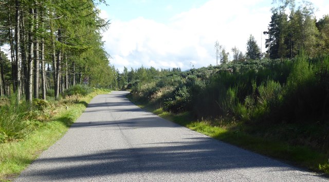
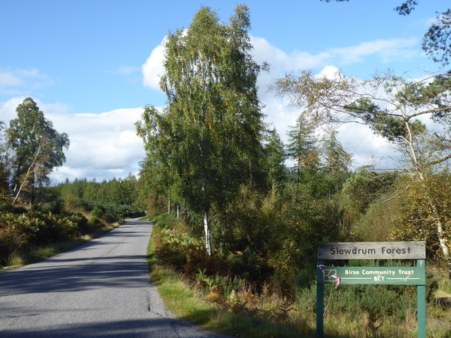
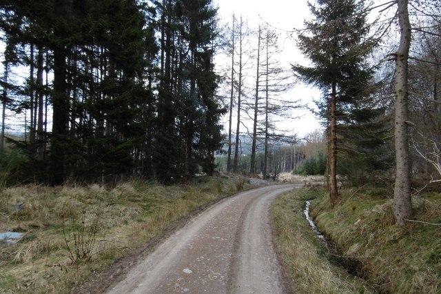
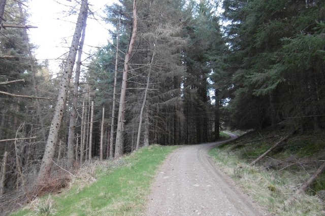
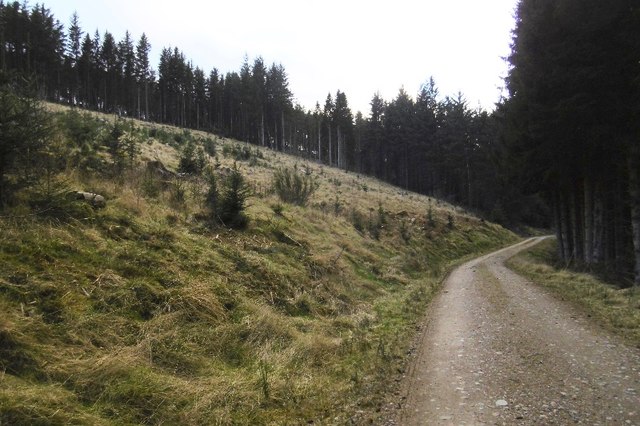
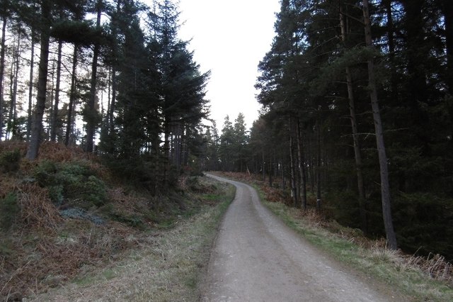
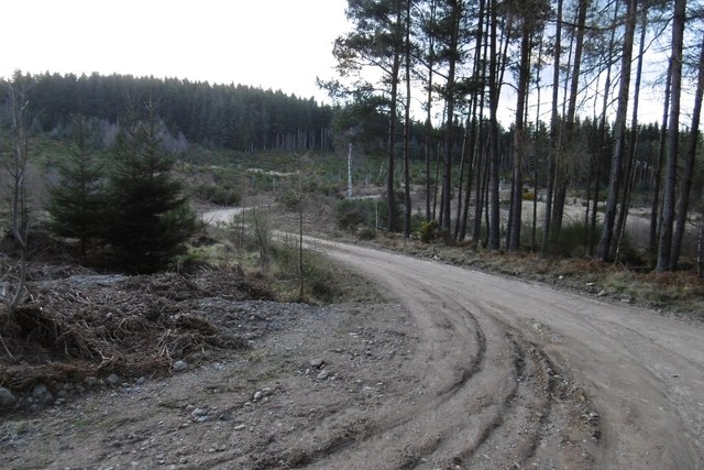
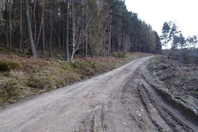
Situated near the village of Sauchen, the Hill of Tillylair is a popular destination for hikers and nature enthusiasts. The hill is characterized by its gently sloping sides and a prominent peak that provides a challenging but rewarding climb for those seeking an adventure. The path to the summit is well-maintained, making it accessible to both experienced hikers and beginners.

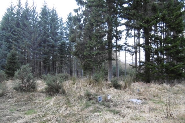
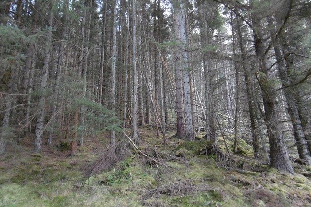
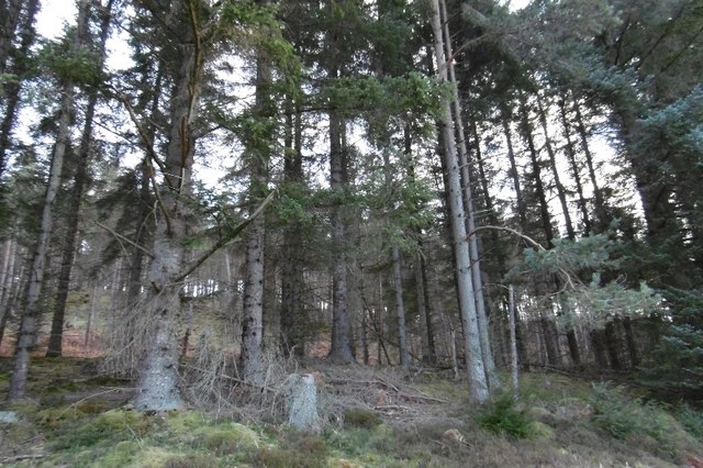
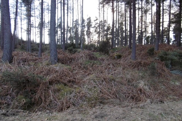
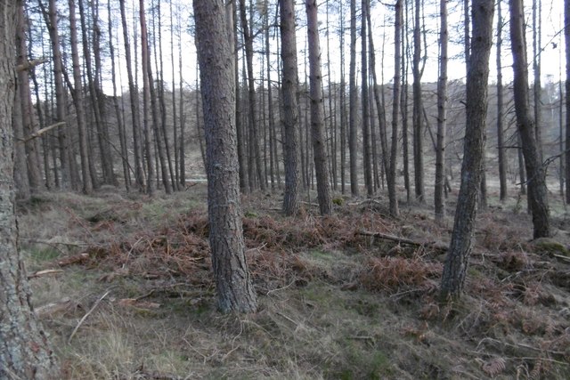
The hill is covered in lush green vegetation, including grasses, heather, and scattered trees, creating a picturesque scene throughout the year. Its diverse flora supports a variety of wildlife, such as birds, rabbits, and deer, making it a great spot for birdwatching and wildlife observation.

At the top of the Hill of Tillylair, visitors can enjoy stunning views of the surrounding countryside, rolling hills, and distant mountains. On clear days, it is even possible to see the North Sea shimmering in the distance. The hill's summit also features a large cairn, a man-made pile of rocks, which adds to the area's charm and provides a great spot for picnics or simply taking in the breathtaking scenery.

Overall, the Hill of Tillylair offers a wonderful outdoor experience for nature lovers, providing a challenging climb, scenic beauty, and a chance to immerse oneself in the natural splendor of Kincardineshire.

If you have any feedback on the listing, please let us know in the comments section below.

Hill of Tillylair Images

Images are sourced within 2km of 57.038369/-2.5905892 or Grid Reference NO6494. Thanks to Geograph Open Source API. All images are credited.

Water of Feugh at Feughside Inn
Feughside Inn
Feughside Inn
New house at Whitestone, Feughside
Private stable at Whitestone Clachnaben on the horizon.
Private stable at Whitestone
Clachnaben on the horizon.
Near summit of an Old Military Road (188m asl) Passing between Glack's Hill (276m) and Muckle Ord (220m).
Near summit of an Old Military Road (188m asl)
Passing between Glack's Hill (276m) and Muckle Ord (220m).
Access to Slewdrum Forest car park From the Old Military Road at Shooting Greens.
Access to Slewdrum Forest car park
From the Old Military Road at Shooting Greens.
Blackhall Forest Water inspection hatches in Goauch Wood.
Blackhall Forest
Water inspection hatches in Goauch Wood.
Logging road, Goauch Wood The road traversed the entire Blackhall Forest and is used by the National Cycle Network.  The clearing in the background is on the western edge of the current Scolty orienteering map.
Logging road, Goauch Wood
The road traversed the entire Blackhall Forest and is used by the National Cycle Network. The clearing in the background is on the western edge of the current Scolty orienteering map.
Windthrow, Blackhall Forest Tangled timber on a steep slope.
Windthrow, Blackhall Forest
Tangled timber on a steep slope.
Logging road, Blackhall Forest A long steep climb on the slopes of Hill of Goauch.
Logging road, Blackhall Forest
A long steep climb on the slopes of Hill of Goauch.
Blackhall Forest A felled and replanted area.
Blackhall Forest
A felled and replanted area.
On Hill of Tillylair Steep slopes in Blackhall Forest.
On Hill of Tillylair
Steep slopes in Blackhall Forest.
Blackhall Forest Entering terrain covered on the latest Mar Orienteering Club Shooting Greens map.  The road crosses the entire forest from the Scolty car park and is used by the National Cycle Network.
Blackhall Forest
Entering terrain covered on the latest Mar Orienteering Club Shooting Greens map. The road crosses the entire forest from the Scolty car park and is used by the National Cycle Network.
Scots pines, Blackhall Forest
Logging road, Blackhall Forest Lots of place names and names of orienteering maps here. The whole block from the Scolty car park to the Military Road goes by Blackhall Forest. Much of that is Wood of Goauch or Goauch Wood.  In this picture the road leaves the Forestry Commission estate and the community woodland(bought from the FC) is known as Slewdrum Forest.  Orienteering maps of the western end of the forest are often titled Shooting Greens, events here are usually put on by Mar OC, while Grampian have the eastern end, often titled Scolty.
Logging road, Blackhall Forest
Lots of place names and names of orienteering maps here. The whole block from the Scolty car park to the Military Road goes by Blackhall Forest. Much of that is Wood of Goauch or Goauch Wood. In this picture the road leaves the Forestry Commission estate and the community woodland(bought from the FC) is known as Slewdrum Forest. Orienteering maps of the western end of the forest are often titled Shooting Greens, events here are usually put on by Mar OC, while Grampian have the eastern end, often titled Scolty.
Logging road, Blackhall Forest On the slopes of Hill of Tillybath, heading for the exit onto the Military Road.
Logging road, Blackhall Forest
On the slopes of Hill of Tillybath, heading for the exit onto the Military Road.
Shooting Greens / Slewdrum Forest Larches overlooking the Military Road.
Shooting Greens / Slewdrum Forest
Larches overlooking the Military Road.
Bikepacking rig, Shooting Greens On the Aberdeenshire/Kincardineshire march, just off the Military Road under Muckle Ord.
Bikepacking rig, Shooting Greens
On the Aberdeenshire/Kincardineshire march, just off the Military Road under Muckle Ord.
Show me another place!

Hill of Tillylair is located at Grid Ref: NO6494 (Lat: 57.038369, Lng: -2.5905892)

Unitary Authority: Aberdeenshire

Police Authority: North East

What 3 Words

///blackmail.harmless.prelude. Near Banchory, Aberdeenshire

Nearby Locations

Hill of Tillylair

Related Wikis

Mounth

The Mounth ( MUNTH) is the broad upland in northeast Scotland between the Highland Boundary and the River Dee, at the eastern end of the Grampians....

Water of Aven

The Water of Aven (or A'an) (Scottish Gaelic: an t-Uisge Bàn) is a tributary of the Water of Feugh, itself the largest tributary of the River Dee, Aberdeenshire...

Finzean

Finzean (; Scottish Gaelic: Fìnnean) is a rural community, electoral polling district, community council area and former ecclesiastical parish, which forms...

Scolty Hill

Scolty Hill is a small hill south of the Deeside town, Banchory. Its best known feature is the 20m tall tower monument, built in 1840 as a memorial to...

Nearby Amenities

Located within 500m of 57.038369,-2.5905892
Hill of Tillylair
Natural: peak
Lat/Long: 57.0384918/-2.5902843
Power: pole
Lat/Long: 57.0354221/-2.5844323
Power: pole
Lat/Long: 57.0358406/-2.5854614
Power: pole
Lat/Long: 57.0362658/-2.5864837
Power: pole
Lat/Long: 57.0365964/-2.5873186
Power: pole
Lat/Long: 57.0341881/-2.5878852
Power: pole
Lat/Long: 57.0348546/-2.5881466
Power: pole
Lat/Long: 57.0355151/-2.5873555
The data included in this document is from www.openstreetmap.org. The data is made available under ODbL.

Have you been to Hill of Tillylair?

Leave your review of Hill of Tillylair below (or comments, questions and feedback).