Brook's Hill
Hill, Mountain in Shropshire
England
Brook's Hill
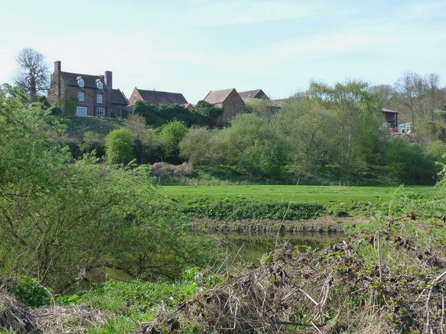
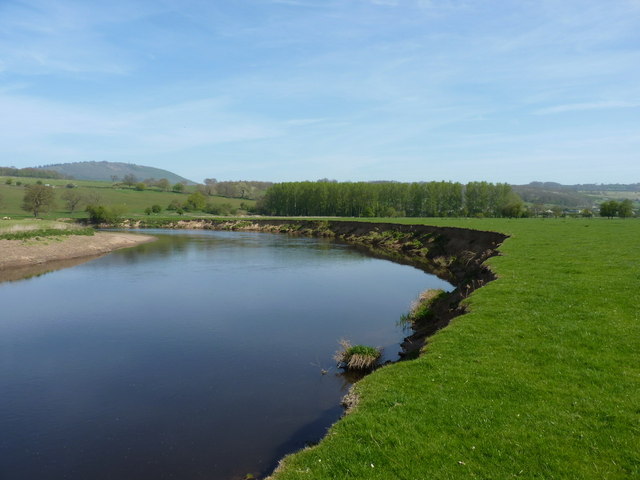
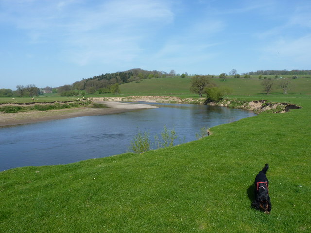
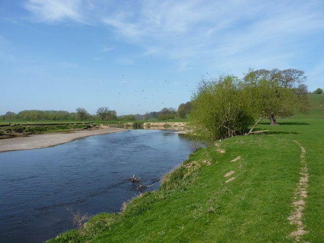
Brook's Hill, located in the picturesque county of Shropshire, England, is a notable hill/mountain that attracts outdoor enthusiasts and nature lovers alike. Standing at an elevation of approximately 400 meters (1,312 feet), it offers breathtaking panoramic views of the surrounding countryside.
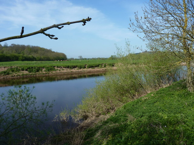
The hill is situated in the southern part of Shropshire, near the village of Longville in the Dale. Its location within the Shropshire Hills Area of Outstanding Natural Beauty makes it an ideal destination for hikers, walkers, and cyclists, who are drawn to its diverse landscape and tranquil atmosphere.
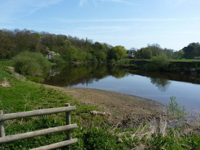
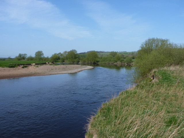
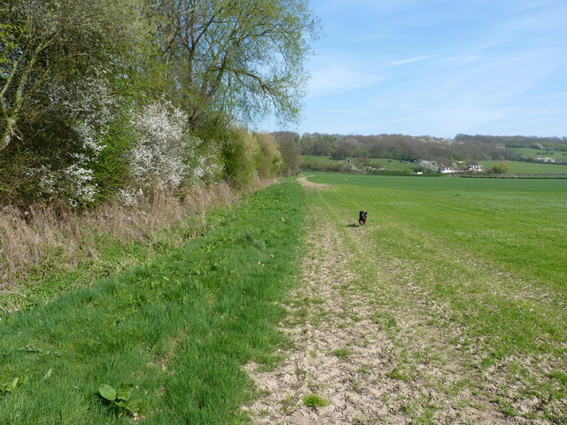
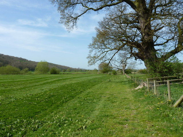
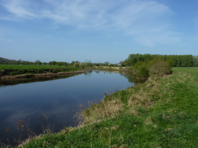
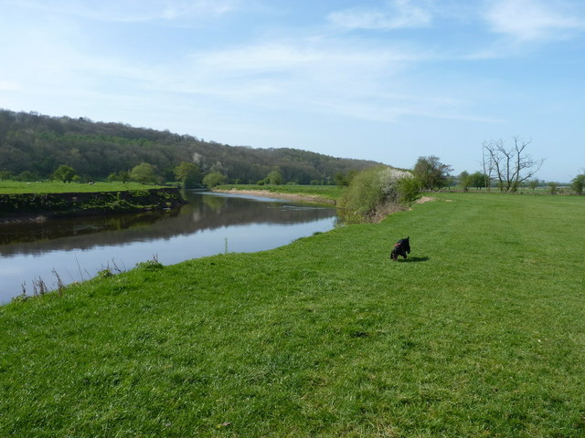
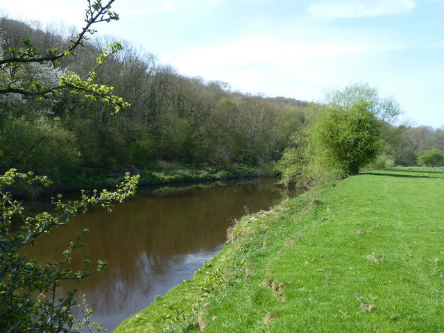
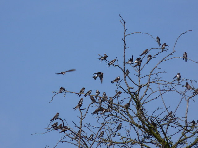
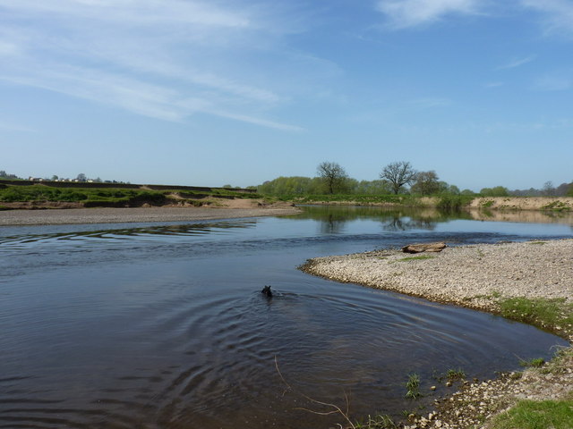
Brook's Hill boasts a variety of natural features, including rolling meadows, ancient woodlands, and babbling brooks that meander through its slopes. The hill is covered in a patchwork of vibrant wildflowers during the summer months, creating a picturesque scene that is a treat for the eyes. Furthermore, the area is home to a rich array of wildlife, including birds of prey, deer, and various species of flora and fauna.
For those seeking adventure, Brook's Hill offers numerous walking trails of varying difficulty levels, allowing visitors to explore its beauty at their own pace. The ascent to the summit rewards hikers with panoramic vistas that stretch as far as the eye can see, providing an awe-inspiring backdrop for photography enthusiasts.
Aside from its natural charms, Brook's Hill is steeped in history, with ancient ruins and remnants of past settlements dotting its landscape. Exploring these historical sites adds an extra layer of intrigue to a visit to this enchanting hill/mountain.
In conclusion, Brook's Hill in Shropshire is a remarkable natural landmark, offering a haven of tranquility, breathtaking scenery, and a wealth of outdoor activities. Its combination of natural beauty and historical significance make it a must-visit destination for nature enthusiasts and history buffs alike.
If you have any feedback on the listing, please let us know in the comments section below.
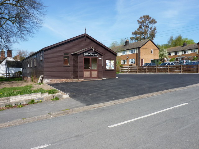
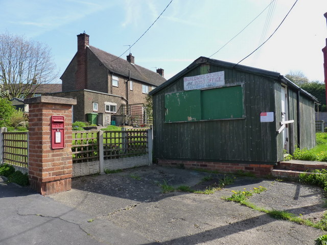
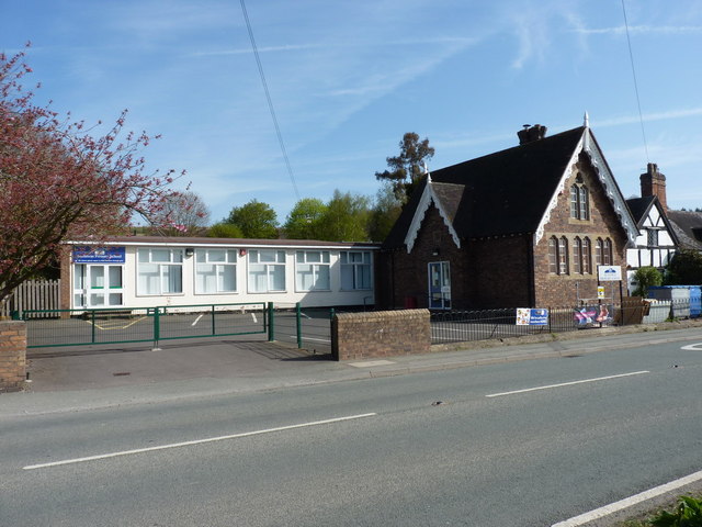
Brook's Hill Images
Images are sourced within 2km of 52.629662/-2.541732 or Grid Reference SJ6303. Thanks to Geograph Open Source API. All images are credited.

Brook's Hill is located at Grid Ref: SJ6303 (Lat: 52.629662, Lng: -2.541732)
Unitary Authority: Shropshire
Police Authority: West Mercia
What 3 Words
///rejoin.highs.nutty. Near Ironbridge, Shropshire
Nearby Locations
Related Wikis

Buildwas
Buildwas is a village and civil parish in Shropshire, England, on the north bank of the River Severn at grid reference SJ641045. It lies on the B4380 road...

Buildwas Abbey
Buildwas Abbey was a Cistercian (originally Savigniac) monastery located on the banks of the River Severn, at Buildwas in Shropshire, England - today about...

Buildwas railway station
Buildwas railway station was an isolated junction railway station on the Wellington to Craven Arms Railway and Severn Valley Railway. Opened on 1 February...

Farley Halt railway station
Farley Halt railway station was a station in Farley to the north of Much Wenlock, Shropshire, England. The station was opened in 1934 and closed in 1962...

Ironbridge power stations
The Ironbridge power stations (also known as the Buildwas power stations) refers to a series of two power stations that occupied a site on the banks of...

Wyke, Shropshire
Wyke (or the Wyke) is a small hamlet in rural Shropshire, England, where it is part of the civil parish of Much Wenlock. Its name may originate from Old...

Sheinton
Sheinton is a small rural village and civil parish just outside Telford, and within Shropshire.It is situated on the south bank of the River Severn opposite...

Benthall Hall
Benthall Hall is a 16th-century English country house in Benthall in the town of Broseley, Shropshire, England, and a few miles from the historic Ironbridge...
Nearby Amenities
Located within 500m of 52.629662,-2.541732Have you been to Brook's Hill?
Leave your review of Brook's Hill below (or comments, questions and feedback).