The Beeches

Wood, Forest in Shropshire

England

The Beeches

Buildwas Village Hall
Buildwas Village Hall Credit: Richard Law

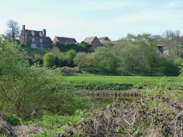
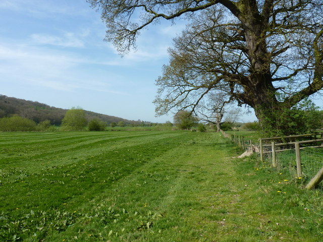
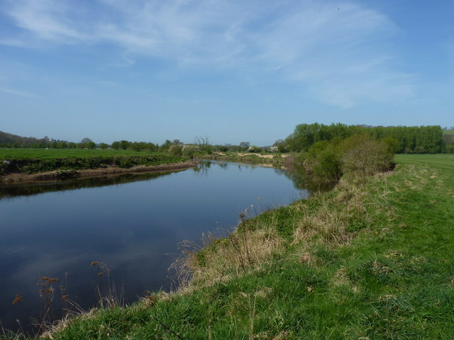
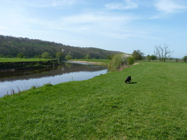
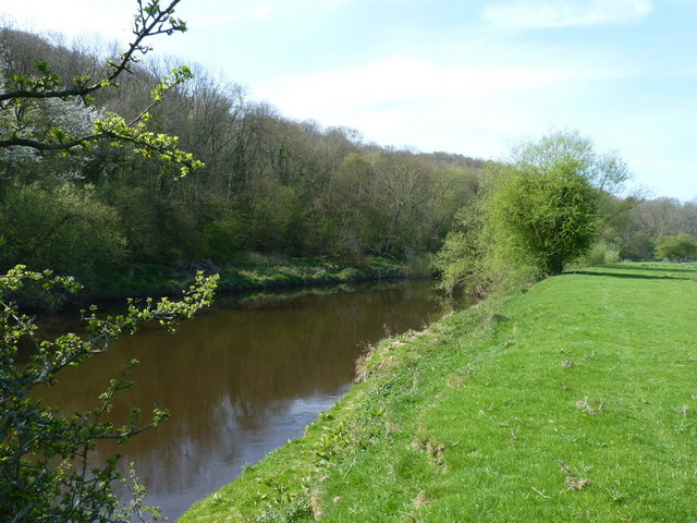
The Beeches is a picturesque woodland located in Shropshire, England. Covering an area of approximately 100 acres, it is renowned for its dense population of beech trees, which gives the woodland its name. The Beeches is a popular destination for nature lovers and outdoor enthusiasts, offering a tranquil and serene environment.

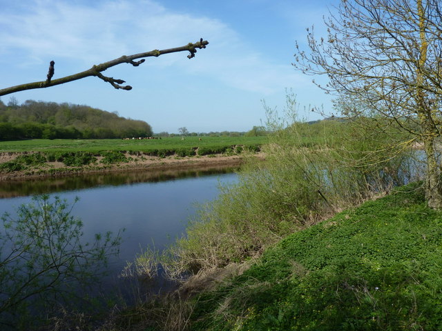
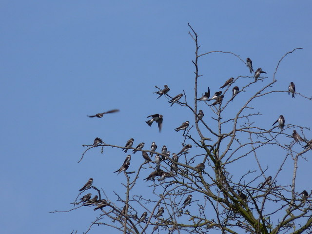
The woodland is characterized by its lush greenery, with a dense canopy of beech trees that create a cool and shaded atmosphere. The trees, many of which are several hundred years old, provide a perfect habitat for a variety of wildlife, including birds, squirrels, and deer. It is not uncommon to spot these creatures as you explore the woodland.

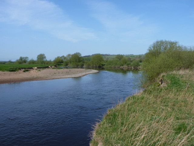
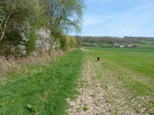
The Beeches offers a network of walking trails, allowing visitors to fully immerse themselves in the natural beauty of the area. The trails wind through the woodland, offering stunning views of the surrounding countryside. There are also designated picnic areas and benches scattered throughout the woodland, providing the perfect opportunity to relax and enjoy the peaceful surroundings.

The Beeches is managed by the local authorities, who ensure the preservation and protection of this natural treasure. In recent years, efforts have been made to enhance biodiversity within the woodland, introducing native plant species and creating wildlife-friendly habitats.

Overall, The Beeches is a haven for nature enthusiasts, offering a peaceful retreat from the hustle and bustle of everyday life. Whether you are a keen walker, a wildlife enthusiast, or simply seeking a place of tranquility, The Beeches is a must-visit destination in Shropshire.

If you have any feedback on the listing, please let us know in the comments section below.
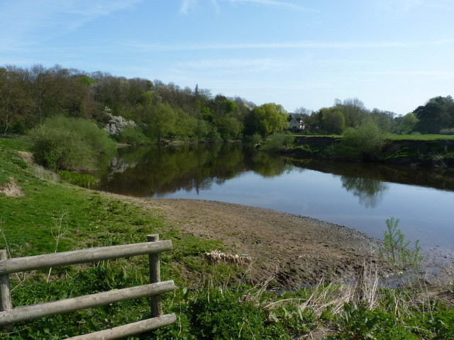
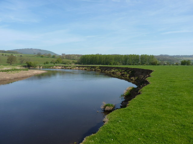
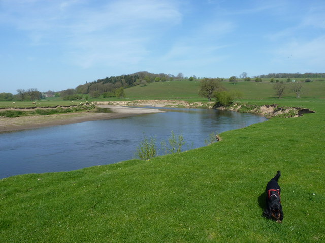
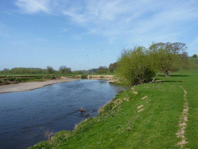
The Beeches Images

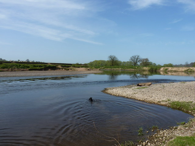
Images are sourced within 2km of 52.629824/-2.5397837 or Grid Reference SJ6303. Thanks to Geograph Open Source API. All images are credited.

Buildwas Village Hall
Buildwas Post Office & General Stores (no more) The former premises of the village store & PO, long since closed and now in a rather shabby state unfortunately. Post Box TF8 27 sits in the brick wall beside the old office.
Buildwas Post Office & General Stores (no more)
The former premises of the village store & PO, long since closed and now in a rather shabby state unfortunately. Post Box TF8 27 sits in the brick wall beside the old office.
Buildwas Primary School The current premises of the school, which has been operating on this site since the 1860s. The original building, the black-and-white half-timbered cottage to the right, is now a private residence.
Buildwas Primary School
The current premises of the school, which has been operating on this site since the 1860s. The original building, the black-and-white half-timbered cottage to the right, is now a private residence.
River Severn, Buildwas
Park Farm, near Sheinton A view across the Severn to Park Farm on the southern bank.
Park Farm, near Sheinton
A view across the Severn to Park Farm on the southern bank.
Floodplain & meadows of the River Severn
Shingle bank on the Severn A wide shingle bank, typical of the ones that form on the inside of bends in this part of the river.
Shingle bank on the Severn
A wide shingle bank, typical of the ones that form on the inside of bends in this part of the river.
Wheat on the floodplain of the Severn Spring-sprouting wheat in a field just north of the river; there is a footpath marked across these fields - it doesn't exist, and neither do any of the stiles or bridges.
Wheat on the floodplain of the Severn
Spring-sprouting wheat in a field just north of the river; there is a footpath marked across these fields - it doesn't exist, and neither do any of the stiles or bridges.
Line of a footpath The line of the non-existent path across these fields. It seems to have fallen into disuse, and may have been extinguished.
Line of a footpath
The line of the non-existent path across these fields. It seems to have fallen into disuse, and may have been extinguished.
The Severn near Buildwas Park
Space to run, and run, and run.... ... just don't fall into the river, because I don't want to have to fish you out.
Space to run, and run, and run....
... just don't fall into the river, because I don't want to have to fish you out.
Sandy beach on the riverside Who needs to go to The Med? OK, strictly speaking, there's no right of way along here, so it's best that there aren't too many people about, but a great view just the same. One of a number of sandy or shingly banks along the riverside.
Sandy beach on the riverside
Who needs to go to The Med? OK, strictly speaking, there's no right of way along here, so it's best that there aren't too many people about, but a great view just the same. One of a number of sandy or shingly banks along the riverside.
Cockshut Rough and the Severn Across the river to Cockshut Rough, where the line of the old Shrewsbury to Bridgnorth railway is still visible in the woods.
Cockshut Rough and the Severn
Across the river to Cockshut Rough, where the line of the old Shrewsbury to Bridgnorth railway is still visible in the woods.
One of the Severn meanders at Leighton A view along the riverbank of the much-photographed classic meander in the floodplain at Leighton.
One of the Severn meanders at Leighton
A view along the riverbank of the much-photographed classic meander in the floodplain at Leighton.
Floodplain and Severn at Leighton
Flock of sand martins above the Severn at Leighton Beside the Severn, the summer migrants are arriving - a flock of 50 or 60 sand martins flew around the trees on the right as the dog and I passed by.
Flock of sand martins above the Severn at Leighton
Beside the Severn, the summer migrants are arriving - a flock of 50 or 60 sand martins flew around the trees on the right as the dog and I passed by.
Sand martins in a tree by the river Part of a flock of 50 or 60 sand martins (Riparia riparia) which was using a tree beside the river to rest and preen.
Sand martins in a tree by the river
Part of a flock of 50 or 60 sand martins (Riparia riparia) which was using a tree beside the river to rest and preen.
A shallow race on the river The river takes a narrow passage between two shingle patches here, with a fast race of water in the middle (and a convenient backwater for the dog to swim in)
A shallow race on the river
The river takes a narrow passage between two shingle patches here, with a fast race of water in the middle (and a convenient backwater for the dog to swim in)
Show me another place!

The Beeches is located at Grid Ref: SJ6303 (Lat: 52.629824, Lng: -2.5397837)

Unitary Authority: Shropshire

Police Authority: West Mercia

What 3 Words

///starts.pulses.ultra. Near Ironbridge, Shropshire

Related Wikis

Buildwas Abbey

Buildwas Abbey was a Cistercian (originally Savigniac) monastery located on the banks of the River Severn, at Buildwas in Shropshire, England - today about...

Buildwas

Buildwas is a village and civil parish in Shropshire, England, on the north bank of the River Severn at grid reference SJ641045. It lies on the B4380 road...

Buildwas railway station

Buildwas railway station was an isolated junction railway station on the Wellington to Craven Arms Railway and Severn Valley Railway. Opened on 1 February...

Farley Halt railway station

Farley Halt railway station was a station in Farley to the north of Much Wenlock, Shropshire, England. The station was opened in 1934 and closed in 1962...

Nearby Amenities

Located within 500m of 52.629824,-2.5397837
Power: pole
Lat/Long: 52.6254128/-2.5403255
Power: pole
Lat/Long: 52.629414/-2.5460116
Power: pole
Lat/Long: 52.6300139/-2.5458663
Power: pole
Lat/Long: 52.6307744/-2.5456873
Power: pole
Lat/Long: 52.6316384/-2.5454993
Power: pole
Lat/Long: 52.6316844/-2.5448046
Power: pole
Lat/Long: 52.6317992/-2.5433697
Power: pole
Lat/Long: 52.6319111/-2.5419907
Power: pole
Lat/Long: 52.6320035/-2.5407404
Power: pole
Lat/Long: 52.632119/-2.5393419
Power: pole
Lat/Long: 52.6322125/-2.5380142
Power: pole
Lat/Long: 52.6323517/-2.5363653
Power: pole
Lat/Long: 52.6324534/-2.5350251
The data included in this document is from www.openstreetmap.org. The data is made available under ODbL.

Have you been to The Beeches?

Leave your review of The Beeches below (or comments, questions and feedback).