Rhodes Dingle
Valley in Shropshire
England
Rhodes Dingle
Rhodes Dingle is a picturesque valley situated in the heart of Shropshire, a county in the West Midlands region of England. Nestled between rolling hills and lush greenery, this charming rural area offers a tranquil retreat for nature lovers and those seeking a peaceful getaway.
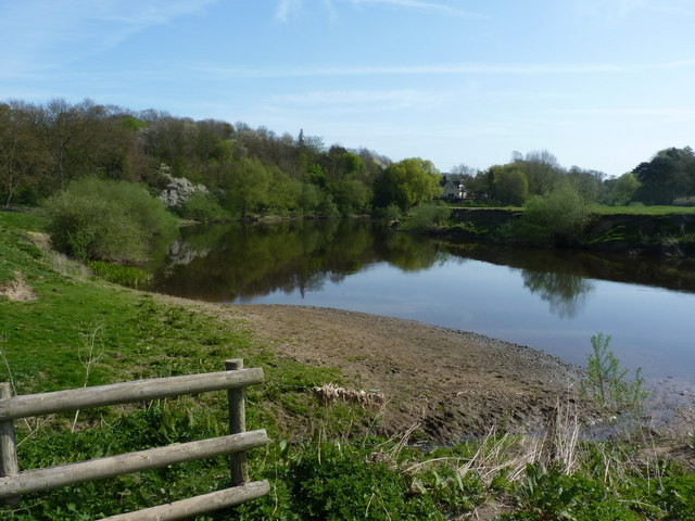
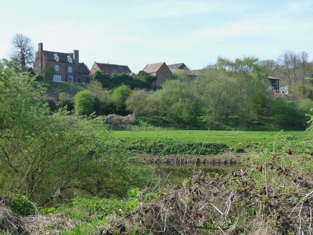
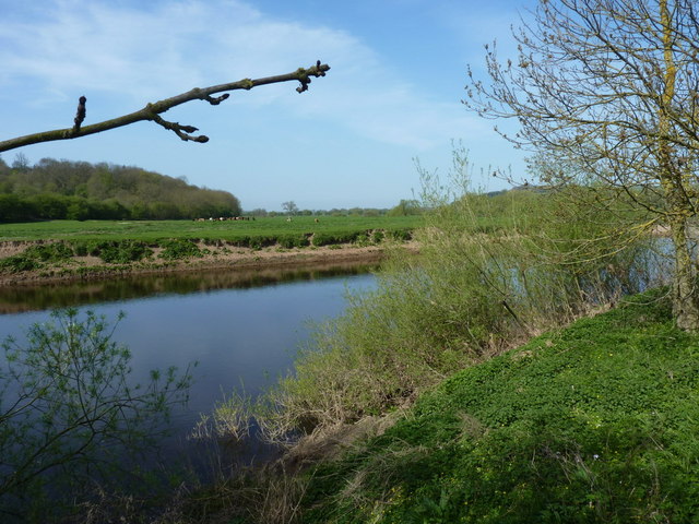
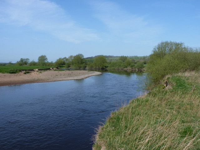
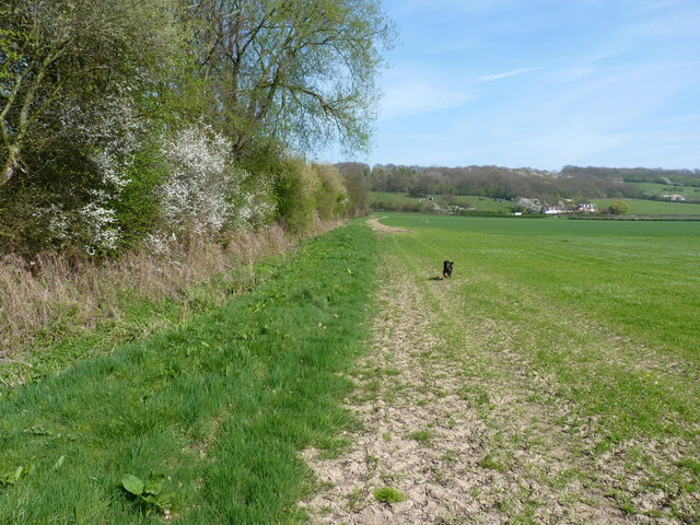
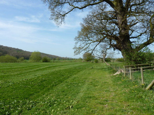
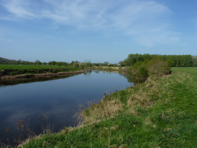
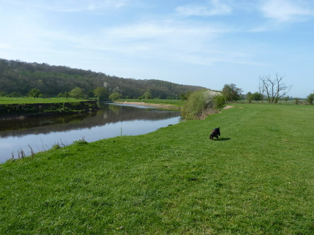
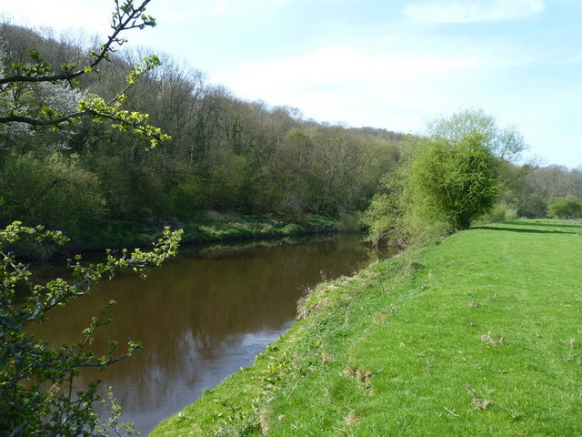
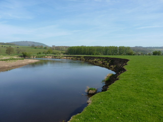
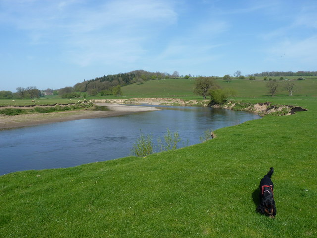
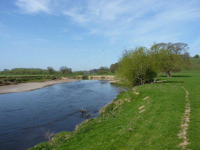
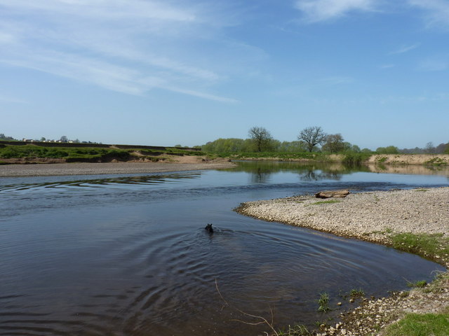
The valley is known for its stunning natural beauty, with a meandering river flowing through its heart, surrounded by dense woodlands and open meadows. Visitors can enjoy leisurely walks along the riverbanks, taking in the breathtaking scenery and spotting various wildlife species that call this area home.
Rhodes Dingle is also home to a number of historical landmarks and sites of interest. The Dingle, a historic mansion house, stands as a testament to the area's rich heritage. Dating back to the 17th century, this grand building now serves as a luxury hotel, offering visitors a unique opportunity to experience the elegance and charm of a bygone era.
For those seeking adventure, Rhodes Dingle offers a range of outdoor activities. The valley is a popular destination for hiking, cycling, and horse riding, with numerous trails and paths to explore. There are also opportunities for fishing and boating on the river, providing a peaceful and idyllic setting for angling enthusiasts.
In terms of amenities, Rhodes Dingle boasts a handful of quaint pubs and restaurants, where visitors can sample local cuisine and traditional ales. Accommodation options range from cozy bed and breakfasts to self-catering cottages, ensuring that there is something to suit every taste and budget.
Overall, Rhodes Dingle is a hidden gem in the heart of Shropshire, offering visitors a chance to escape the hustle and bustle of modern life and immerse themselves in the tranquility of nature.
If you have any feedback on the listing, please let us know in the comments section below.
Rhodes Dingle Images
Images are sourced within 2km of 52.628028/-2.5471929 or Grid Reference SJ6303. Thanks to Geograph Open Source API. All images are credited.


Rhodes Dingle is located at Grid Ref: SJ6303 (Lat: 52.628028, Lng: -2.5471929)
Unitary Authority: Shropshire
Police Authority: West Mercia
What 3 Words
///leaky.automate.apart. Near Much Wenlock, Shropshire
Nearby Locations
Related Wikis

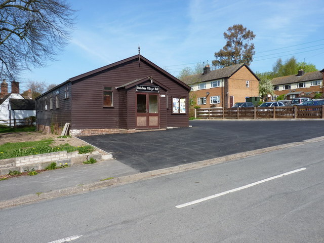
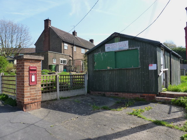
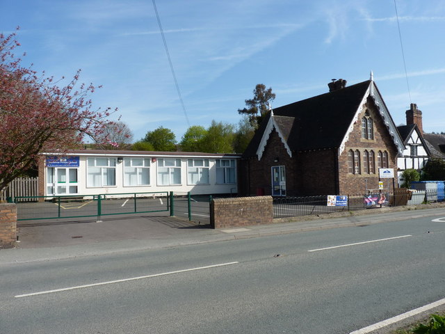
Buildwas
Buildwas is a village and civil parish in Shropshire, England, on the north bank of the River Severn at grid reference SJ641045. It lies on the B4380 road...

Buildwas Abbey
Buildwas Abbey was a Cistercian (originally Savigniac) monastery located on the banks of the River Severn, at Buildwas in Shropshire, England - today about...

Farley Halt railway station
Farley Halt railway station was a station in Farley to the north of Much Wenlock, Shropshire, England. The station was opened in 1934 and closed in 1962...

Sheinton
Sheinton is a small rural village and civil parish just outside Telford, and within Shropshire. It is situated on the south bank of the River Severn opposite...
Nearby Amenities
Located within 500m of 52.628028,-2.5471929Have you been to Rhodes Dingle?
Leave your review of Rhodes Dingle below (or comments, questions and feedback).