Crow Hillocks
Hill, Mountain in Kincardineshire
Scotland
Crow Hillocks
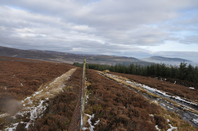
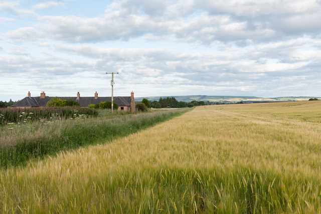
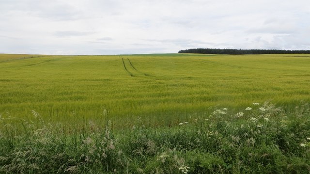
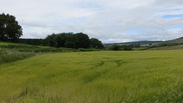
Crow Hillocks is a small hill located in Kincardineshire, Scotland. With an elevation of approximately 366 meters (1,200 feet), it is classified as a hill rather than a mountain. Situated in the eastern part of the country, Crow Hillocks offers stunning views of the surrounding countryside.
Covered in lush greenery, the hill is home to a diverse range of flora and fauna. It serves as an important habitat for various species of birds, mammals, and insects. The area is particularly known for its population of red deer, which can often be spotted grazing on the slopes.
Crow Hillocks is a popular destination for outdoor enthusiasts, offering a range of activities for visitors to enjoy. Hiking and hillwalking are popular pursuits, with several well-marked trails leading to the summit. The hill's relatively low altitude makes it accessible for people of various fitness levels.
At the summit, visitors are rewarded with breathtaking panoramic views of the surrounding landscape. On clear days, it is possible to see as far as the North Sea and the Grampian Mountains. The hill's location also provides opportunities for stargazing, as the lack of light pollution allows for clear views of the night sky.
Overall, Crow Hillocks offers a tranquil and picturesque escape for nature lovers and those seeking outdoor adventure. Its diverse wildlife, scenic beauty, and accessible trails make it a must-visit destination in Kincardineshire.
If you have any feedback on the listing, please let us know in the comments section below.
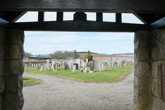
Crow Hillocks Images
Images are sourced within 2km of 56.858083/-2.6103915 or Grid Reference NO6274. Thanks to Geograph Open Source API. All images are credited.


Crow Hillocks is located at Grid Ref: NO6274 (Lat: 56.858083, Lng: -2.6103915)
Unitary Authority: Aberdeenshire
Police Authority: North East
What 3 Words
///blink.shrug.recital. Near Laurencekirk, Aberdeenshire
Nearby Locations
Related Wikis

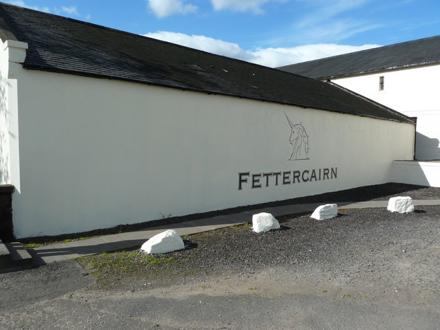
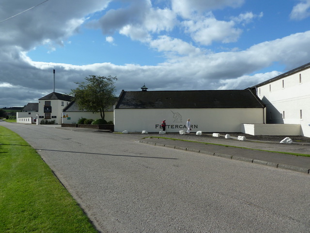
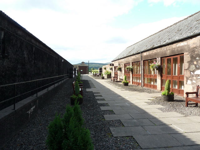
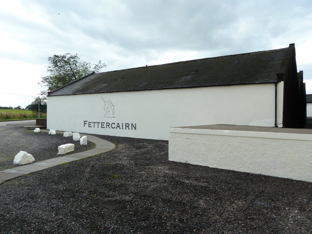
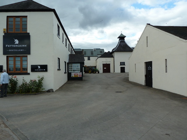
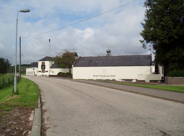
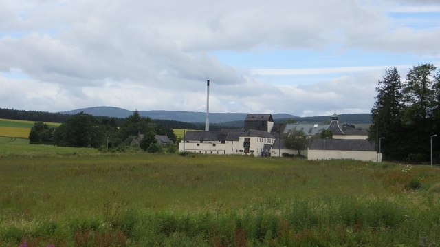
Fettercairn distillery
Fettercairn distillery is a whisky distillery in Fettercairn. Situated under the Grampian foothills in the Howe of Mearns, Fettercairn town’s name is...

Fettercairn
Fettercairn (, Scottish Gaelic: Fothair Chàrdain) is a small village in Aberdeenshire, Scotland, northwest of Laurencekirk in Aberdeenshire on the B966...

Fasque House
Fasque, also known as Fasque House or Fasque Castle, is a mansion in Aberdeenshire, Scotland, situated near the village of Fettercairn, in the former county...

Kincardine, Aberdeenshire
Kincardine was a burgh in Scotland, near the present-day village of Fettercairn. It served as the first county town of Kincardineshire. The settlement...
Edzell Woods
Edzell Woods is a village in the Kincardine and Mearns area of Aberdeenshire, Scotland. It is 4 miles (6.4 km) from Edzell by road, but only one mile...

RAF Edzell
Royal Air Force Edzell or more simply RAF Edzell is a former Royal Air Force satellite station located in Aberdeenshire, one mile east of Edzell in Angus...

Inglis Memorial Hall
The Inglis Memorial Hall is a municipal structure in the High Street in Edzell, Angus, Scotland, which for much of the 20th century served as Edzell Parish...

Edzell
Edzell (; Scots: Aigle; Scottish Gaelic: Eigill) is a village in Angus, Scotland. It is 5 miles (8 km) north of Brechin, by the River North Esk. Edzell...
Nearby Amenities
Located within 500m of 56.858083,-2.6103915Have you been to Crow Hillocks?
Leave your review of Crow Hillocks below (or comments, questions and feedback).