Wood of Balnakettle

Wood, Forest in Kincardineshire

Scotland

Wood of Balnakettle

Craig of Harestone, North of Edzell Forest boundary to the right (South), deer fence in the centre and grouse moor to the left (North). Snow melting fast, temperature about 6 degrees C.
Craig of Harestone, North of Edzell Credit: David G Campbell

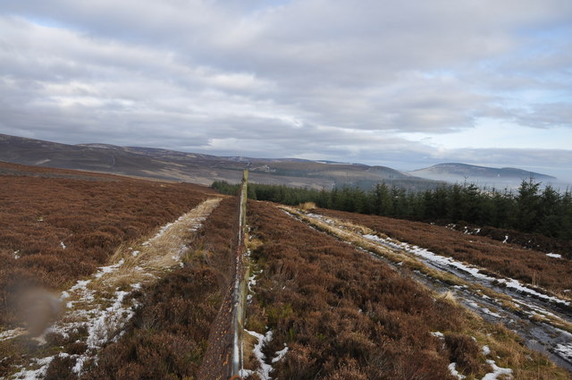
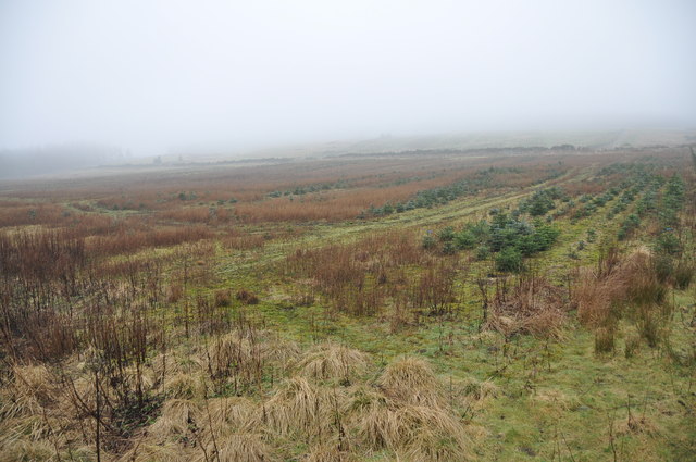
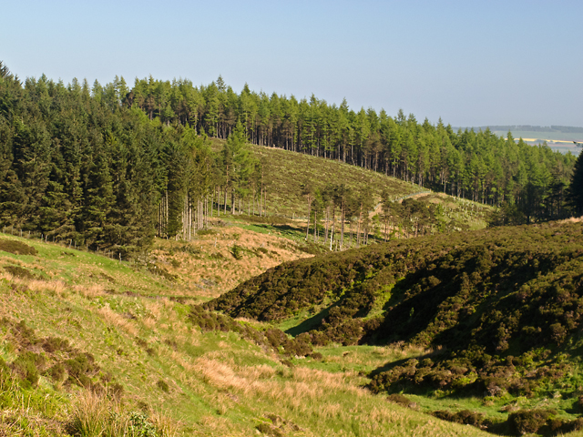
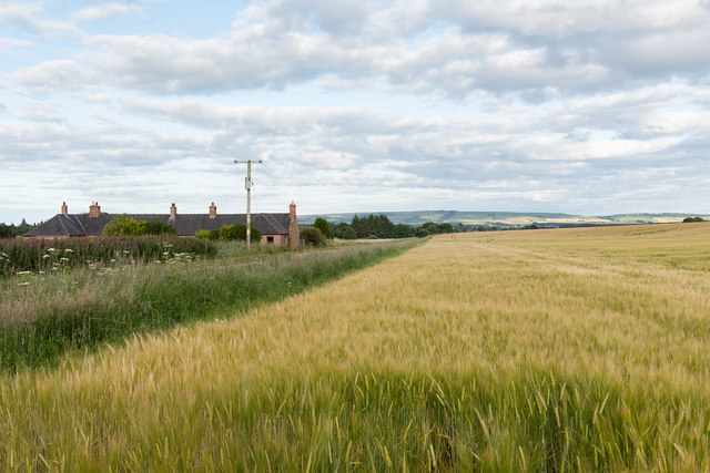
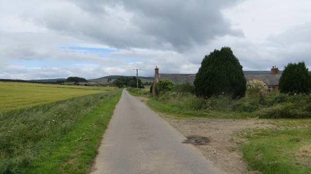
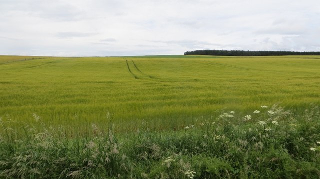
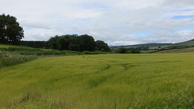
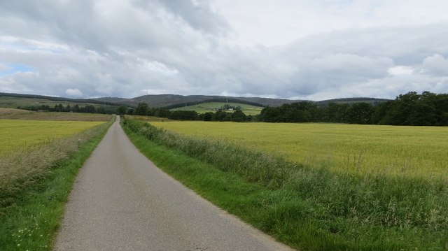
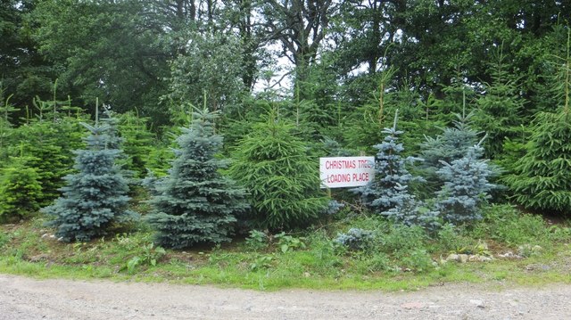
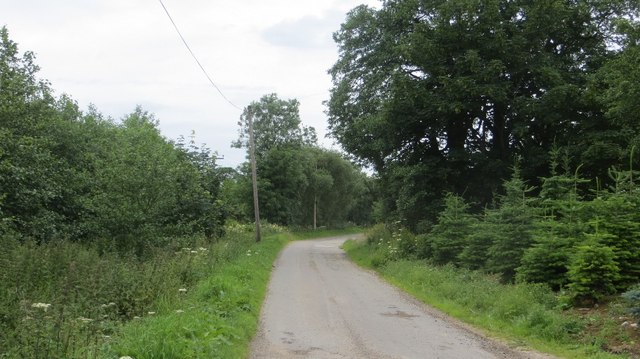
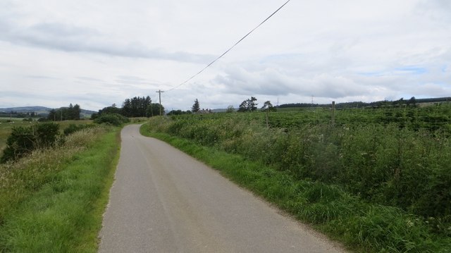
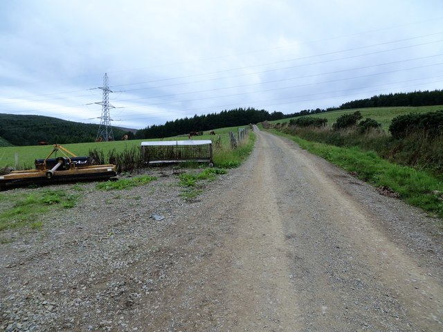
The Wood of Balnakettle is a picturesque forest located in the county of Kincardineshire, Scotland. Situated near the village of Balnakettle, this woodland covers a vast area and is known for its diverse range of trees and wildlife.

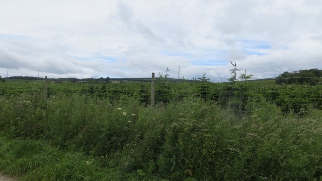
The forest is primarily composed of native Scottish species, including oak, birch, and pine trees, which create a dense canopy providing shade and shelter. The mature trees in the Wood of Balnakettle have been growing for many decades, reaching great heights and creating a serene and tranquil atmosphere.

Walking through the woodland, visitors can enjoy the natural beauty that surrounds them. The forest floor is covered in a carpet of moss, ferns, and wildflowers, creating a vibrant display of colors. The air is filled with the sweet scent of pine, and the sound of birdsong can be heard echoing through the trees.

The Wood of Balnakettle is also home to a variety of wildlife. Deer, foxes, and squirrels can often be spotted amongst the trees, while birds such as owls, woodpeckers, and songbirds can be seen and heard throughout the day.

The forest is a popular destination for nature lovers and outdoor enthusiasts, offering a range of walking trails and paths for exploration. Whether it's a leisurely stroll or a more challenging hike, visitors can immerse themselves in the natural beauty and tranquility that the Wood of Balnakettle has to offer.

If you have any feedback on the listing, please let us know in the comments section below.

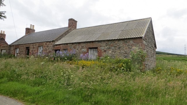
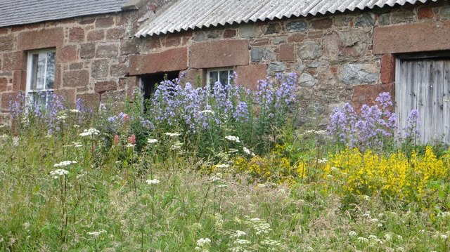
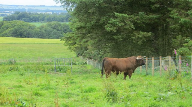
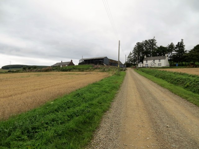
Wood of Balnakettle Images

Images are sourced within 2km of 56.864653/-2.6152715 or Grid Reference NO6274. Thanks to Geograph Open Source API. All images are credited.

Craig of Harestone, North of Edzell Forest boundary to the right (South), deer fence in the centre and grouse moor to the left (North). Snow melting fast, temperature about 6 degrees C.
Craig of Harestone, North of Edzell
Forest boundary to the right (South), deer fence in the centre and grouse moor to the left (North). Snow melting fast, temperature about 6 degrees C.
Conifer Plantation, North of Edzell The Wood of Balfour lies in the mist just visible on the horizon, this plantation of young conifers may be a future extension of it.
Conifer Plantation, North of Edzell
The Wood of Balfour lies in the mist just visible on the horizon, this plantation of young conifers may be a future extension of it.
Wood of Mon Duff The Wood of Mon Duff, viewed along the course of the Burn of Cauldcots, which supplied the Fettercairn Distillery 4km to the south-east.
Wood of Mon Duff
The Wood of Mon Duff, viewed along the course of the Burn of Cauldcots, which supplied the Fettercairn Distillery 4km to the south-east.
Fields and houses near Cauldcots Farm Fields and houses adjacent to the road from Fettercairn.
Fields and houses near Cauldcots Farm
Fields and houses adjacent to the road from Fettercairn.
Continuation of Distillery Road Road out of Fettercairn.
Continuation of Distillery Road
Road out of Fettercairn.
Barley, Cauldcots Wood of Barna on the skyline.
Barley, Cauldcots
Wood of Barna on the skyline.
Wooded knoll, Cauldcots The mound has the appearance of a motte, but is not shown as such on maps.
Wooded knoll, Cauldcots
The mound has the appearance of a motte, but is not shown as such on maps.
Barley, Cauldcots
Barley, Cauldcots
Yellow road, Cauldcots
Christmas trees, Mains of Balnakettle It looks as if they are queuing to get loaded.
Christmas trees, Mains of Balnakettle
It looks as if they are queuing to get loaded.
Road, Mains of Balnakettle Christmas tree country.
Road, Mains of Balnakettle
Christmas tree country.
Road, Mains of Balfour A yellow road passes Christmas tree plantations.
Road, Mains of Balfour
A yellow road passes Christmas tree plantations.
Christmas trees, East Mains of Balfour
Hillhead Roadside ruin by Mains of Balfour.
Hillhead
Roadside ruin by Mains of Balfour.
Hillhead Flowers around the door and detail of the sandstone masonry.
Hillhead
Flowers around the door and detail of the sandstone masonry.
Highland bull Looking towards the promised land (field of cows across the burn).  By Hillhead near Fettercairn, Kincardineshire.
Highland bull
Looking towards the promised land (field of cows across the burn). By Hillhead near Fettercairn, Kincardineshire.
Upper Thainston Farm
Farm track at Upper Thainston
Show me another place!

Wood of Balnakettle is located at Grid Ref: NO6274 (Lat: 56.864653, Lng: -2.6152715)

Unitary Authority: Aberdeenshire

Police Authority: North East

What 3 Words

///tenure.expectant.elect. Near Laurencekirk, Aberdeenshire

Related Wikis

Fettercairn distillery

Fettercairn distillery is a whisky distillery in Fettercairn. Situated under the Grampian foothills in the Howe of Mearns, Fettercairn town’s name is...

Fasque House

Fasque, also known as Fasque House or Fasque Castle, is a mansion in Aberdeenshire, Scotland, situated near the village of Fettercairn, in the former county...

Fettercairn

Fettercairn (, Scottish Gaelic: Fothair Chàrdain) is a small village in Aberdeenshire, Scotland, northwest of Laurencekirk in Aberdeenshire on the B966...

Kincardine, Aberdeenshire

Kincardine was a burgh in Scotland, near the present-day village of Fettercairn. It served as the first county town of Kincardineshire. The settlement...

Edzell Woods

Edzell Woods is a village in the Kincardine and Mearns area of Aberdeenshire, Scotland. It is 4 miles (6.4 km) from Edzell by road, but only one mile...

RAF Edzell

Royal Air Force Edzell or more simply RAF Edzell is a former Royal Air Force satellite station located in Aberdeenshire, one mile east of Edzell in Angus...

Cairn O' Mounth

Cairn O' Mounth/Cairn O' Mount (Scottish Gaelic: Càrn Mhon) is a high mountain pass in Aberdeenshire, Scotland. The place name is a survival of the ancient...

Colmeallie stone circle

The Colmeallie stone circle is a recumbent stone circle in Glen Esk, Angus, Scotland. It is located 8 km north of Edzell at Colmeallie Farm, adjacent to...

Nearby Amenities

Located within 500m of 56.864653,-2.6152715
Power: tower
Lat/Long: 56.8686306/-2.614688
Power: tower
Lat/Long: 56.8665871/-2.6195063
Power: tower
Lat/Long: 56.8649498/-2.6233668
Power: pole
Lat/Long: 56.8661367/-2.6080796
Power: pole
Lat/Long: 56.8657223/-2.6089347
Power: pole
Lat/Long: 56.8667607/-2.6081575
Power: pole
Lat/Long: 56.8669725/-2.6086419
Power: pole
Lat/Long: 56.8672234/-2.6092253
Power: pole
Lat/Long: 56.8674859/-2.609834
Power: pole
Lat/Long: 56.8652802/-2.6098424
Power: pole
Lat/Long: 56.8648099/-2.6108238
Power: pole
Lat/Long: 56.8644663/-2.6115515
Power: pole
Lat/Long: 56.8637065/-2.6121286
Power: pole
Lat/Long: 56.8632126/-2.6125035
Power: pole
Lat/Long: 56.8624642/-2.6130721
Power: pole
Lat/Long: 56.8618425/-2.6135523
Power: pole
Lat/Long: 56.8611506/-2.6140578
Power: pole
Lat/Long: 56.8607211/-2.6151319
Power: pole
Lat/Long: 56.8603435/-2.6160986
The data included in this document is from www.openstreetmap.org. The data is made available under ODbL.

Have you been to Wood of Balnakettle?

Leave your review of Wood of Balnakettle below (or comments, questions and feedback).