Blease Fell

Hill, Mountain in Westmorland Eden

England

Blease Fell

 M6 northbound
M6 northbound Credit: Dave Thompson

Blease Fell is a prominent hill located in the district of Westmorland, England. Standing at an elevation of 1,800 feet (549 meters), it is a part of the beautiful Lake District National Park. Blease Fell is classified as a hill rather than a mountain due to its moderate height.

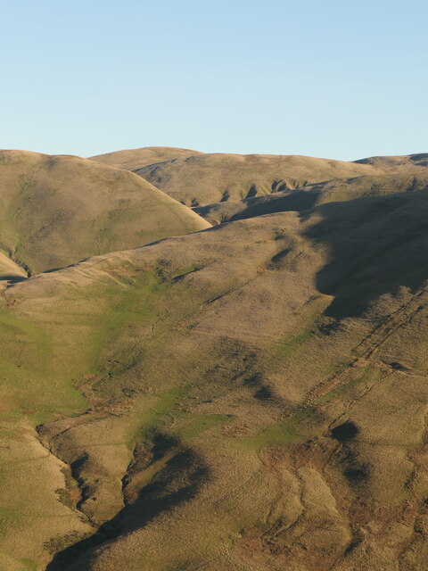
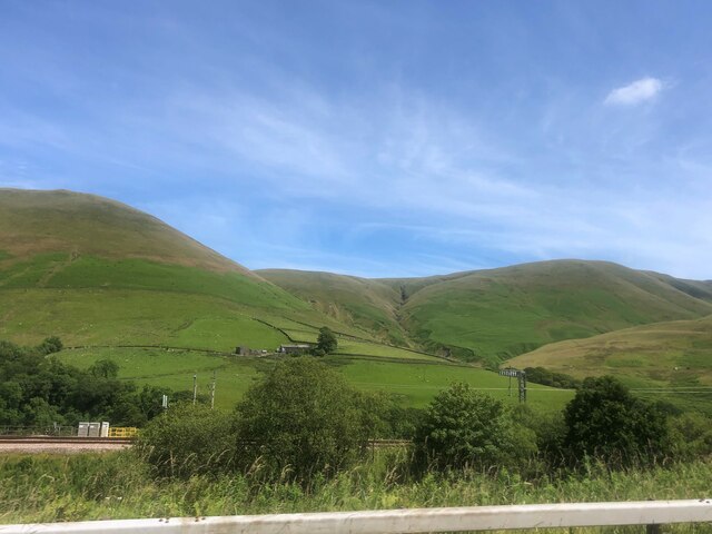
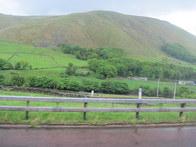
The fell is situated in the eastern region of the National Park, between the valleys of Kentmere and Troutbeck. It is easily accessible from the village of Kentmere, which lies to the south. The ascent to the summit of Blease Fell is a popular route for walkers and hikers, offering stunning panoramic views of the surrounding landscape.

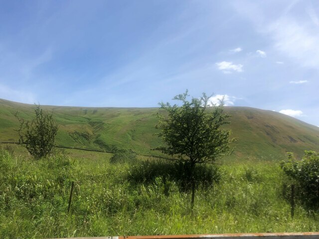
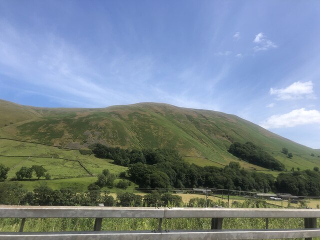
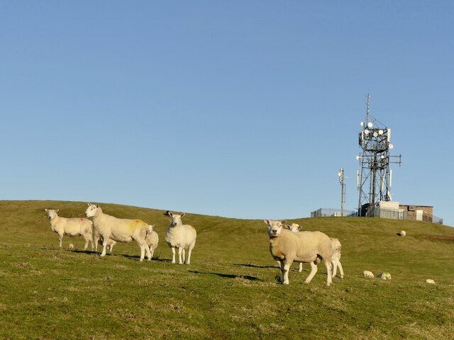
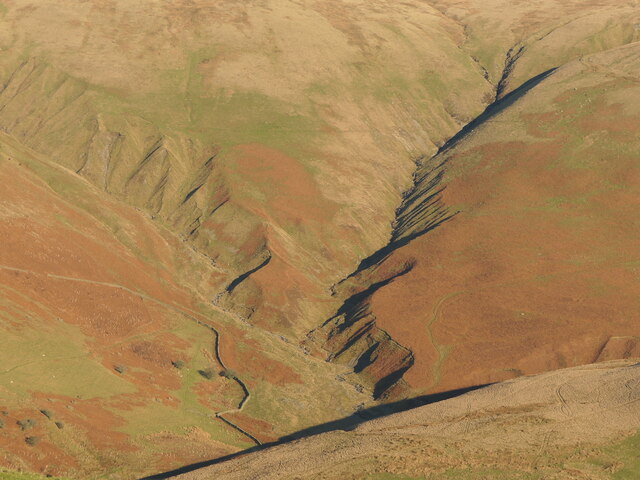
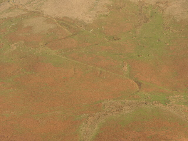
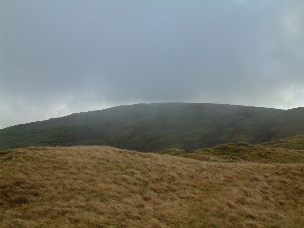
The hill is characterized by its gentle slopes, covered in heather and grasses. It is home to several species of wildlife, including red deer, foxes, and various bird species such as peregrine falcons and golden eagles. The flora of Blease Fell is diverse, with patches of woodland and wildflowers dotting the landscape.

The summit of Blease Fell provides an excellent vantage point for taking in the breathtaking scenery of the Lake District. On a clear day, one can see the fells of Helvellyn, Fairfield, and the High Street range. The fell also offers a tranquil setting for picnics and nature enthusiasts looking to immerse themselves in the peaceful surroundings.

Overall, Blease Fell is a picturesque and accessible hill in Westmorland, offering visitors the opportunity to enjoy the natural beauty of the Lake District and experience the serenity of the countryside.

If you have any feedback on the listing, please let us know in the comments section below.

Blease Fell Images

Images are sourced within 2km of 54.398024/-2.58052 or Grid Reference NY6200. Thanks to Geograph Open Source API. All images are credited.

 M6 northbound
M6 northbound
Temperature inversion in Lunedale The fog has almost evaporated at this point but was still thick over Morecambe Bay and well to the south. The West Coast Main Line and M6 squeeze through the westernmost of the Yorkshire Dales, a narrow corridor between the Lake District National Park (foreground) and the Yorkshire Dales National Park over the river.
Temperature inversion in Lunedale
The fog has almost evaporated at this point but was still thick over Morecambe Bay and well to the south. The West Coast Main Line and M6 squeeze through the westernmost of the Yorkshire Dales, a narrow corridor between the Lake District National Park (foreground) and the Yorkshire Dales National Park over the river.
View west to Borrowdale As seen from the M6
View west to Borrowdale
As seen from the M6
Langdale Fells from the M6
Blease Fell
Blease Fell
M6 Bridge, West Coast Mainline bridge
River Lune
River Lune
M6, Lunedale The fog is evaporating during an anticyclonic temperature inversion. Warm on the summits, frosty on the valley floor.
M6, Lunedale
The fog is evaporating during an anticyclonic temperature inversion. Warm on the summits, frosty on the valley floor.
Sheep, Diliicar Knott
Weasel Gill and Grains Gill Lunedale, Howgill Fells. Grains Gill on the left.
Weasel Gill and Grains Gill
Lunedale, Howgill Fells. Grains Gill on the left.
A path in the Howgill Fells Long and short options on the zigzags.  The steep hillsides  above Lunedale are well provisioned with paths and tracks for access to upland pasture and peat mosses.
A path in the Howgill Fells
Long and short options on the zigzags. The steep hillsides above Lunedale are well provisioned with paths and tracks for access to upland pasture and peat mosses.
Howgill Fells seen from across Lunedale Looking into Yorkshire across the hidden but not unheard M6.
Howgill Fells seen from across Lunedale
Looking into Yorkshire across the hidden but not unheard M6.
West Coast main line railway  Below Blease Fell
West Coast main line railway
Below Blease Fell
Railway bridge over Borrow Beck at Borrowbridge Borrow Beck joins the River Lune just beyond the bridge. From M6 southbound
Railway bridge over Borrow Beck at Borrowbridge
Borrow Beck joins the River Lune just beyond the bridge. From M6 southbound
Railway and fields towards High Cargill High Cargill Farm is the farm to be seen to the right
Railway and fields towards High Cargill
High Cargill Farm is the farm to be seen to the right
Listen Carefully to the M6 Walking slowly through the 'Organ of Corti' alters the perception of sound frequencies from M6 traffic at the Lune Gorge. This arts media installation was part of the lake District Summer Music Festival 2011.
Listen Carefully to the M6
Walking slowly through the 'Organ of Corti' alters the perception of sound frequencies from M6 traffic at the Lune Gorge. This arts media installation was part of the lake District Summer Music Festival 2011.
Brockholes Brockholes Farm.
Brockholes
Brockholes Farm.
Great Coum and Little Coum, Grayrigg Common Two glacial corries in the Lune Gorge overlooking the M6. This must have been a wild and lonely spot before the building of the motorway, even with the railway.
Great Coum and Little Coum, Grayrigg Common
Two glacial corries in the Lune Gorge overlooking the M6. This must have been a wild and lonely spot before the building of the motorway, even with the railway.
Show me another place!

Blease Fell is located at Grid Ref: NY6200 (Lat: 54.398024, Lng: -2.58052)

Administrative County: Cumbria

District: Eden

Police Authority: Cumbria

What 3 Words

///pairings.cycles.hike. Near Sedbergh, Cumbria

Nearby Locations

Blease Fell Blease Fell

Related Wikis

Nearby Amenities

Located within 500m of 54.398024,-2.58052
Blease Fell
Ele: 474
Natural: peak
Lat/Long: 54.3978094/-2.5807563
The data included in this document is from www.openstreetmap.org. The data is made available under ODbL.

Have you been to Blease Fell?

Leave your review of Blease Fell below (or comments, questions and feedback).