Benchy Hill

Hill, Mountain in Somerset

England

Benchy Hill

Looking into Coombe Lane from Marston Road
Looking into Coombe Lane from Marston Road Credit: David Martin

Benchy Hill is a prominent landmark located in Somerset, England. It is a medium-sized hill that sits at an elevation of approximately 200 meters above sea level. Part of the Mendip Hills range, Benchy Hill offers breathtaking panoramic views of the surrounding countryside.

The hill is characterized by its gentle slopes and rolling green fields, making it a popular destination for hikers, nature enthusiasts, and photographers. The terrain is predominantly grassy and dotted with occasional trees, creating a picturesque landscape that changes with the seasons.

Benchy Hill is easily accessible by foot, with several well-maintained trails leading to its summit. Once at the top, visitors are rewarded with stunning vistas of the Somerset Levels, Glastonbury Tor, and even the Bristol Channel on a clear day.

The hill is also home to a diverse range of flora and fauna. Wildflowers such as bluebells and foxgloves can be found in abundance during the spring and summer months, attracting butterflies and bees. The area is also home to various bird species, including skylarks and kestrels, which can often be spotted soaring above the hill's open skies.

In addition to its natural beauty, Benchy Hill is steeped in history. It is believed to have been a site of human activity dating back thousands of years, with evidence of ancient settlements and burial mounds in the surrounding area. Today, it serves as a peaceful retreat and a reminder of the region's rich heritage.

If you have any feedback on the listing, please let us know in the comments section below.
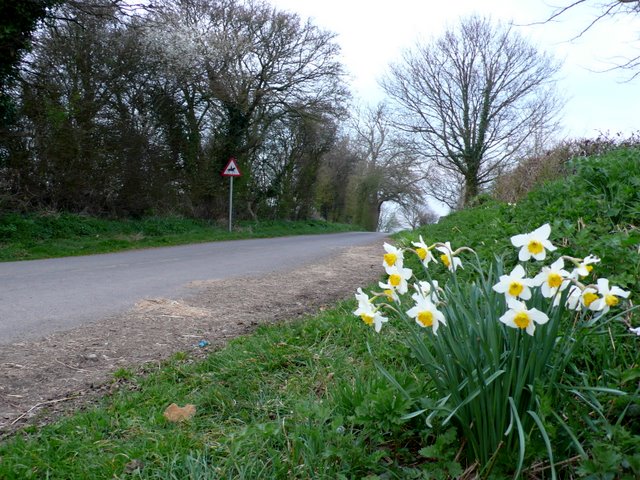
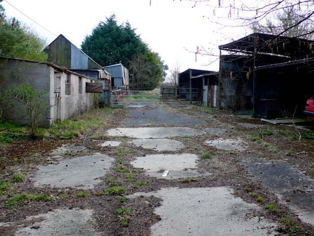
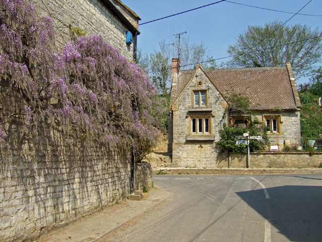
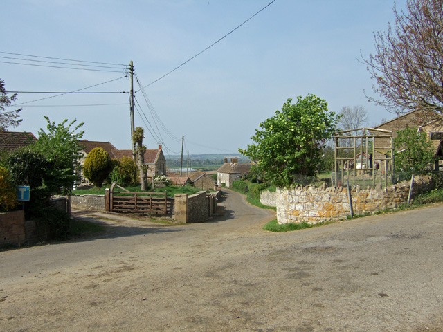
Benchy Hill Images

Images are sourced within 2km of 50.9741/-2.5369484 or Grid Reference ST6219. Thanks to Geograph Open Source API. All images are credited.

Looking into Coombe Lane from Marston Road
Bridleway southeast from Checcombe Lane
William Knoyle monument - Sandford Orcas parish church This painted alabaster wall-monument in the south chapel is to William Knoyle and dated 1607-8. He is depicted kneeling between his two wives and eleven children, seven of whom in black gowns (three sons, and four daughters) are shown kneeling. The remainder, an assortment of infants in swaddling clothes lie dead behind their mother.
William Knoyle monument - Sandford Orcas parish church
This painted alabaster wall-monument in the south chapel is to William Knoyle and dated 1607-8. He is depicted kneeling between his two wives and eleven children, seven of whom in black gowns (three sons, and four daughters) are shown kneeling. The remainder, an assortment of infants in swaddling clothes lie dead behind their mother.
William Knoyle monument - Sandford Orcas parish church (detail) This painted alabaster wall-monument in the south chapel is to William Knoyle and dated 1607-8. He is depicted kneeling between his two wives and eleven children, seven of whom in black gowns (three sons, and four daughters) are shown kneeling. The remainder, an assortment of infants in swaddling clothes lie dead behind their mother.
William Knoyle monument - Sandford Orcas parish church (detail)
This painted alabaster wall-monument in the south chapel is to William Knoyle and dated 1607-8. He is depicted kneeling between his two wives and eleven children, seven of whom in black gowns (three sons, and four daughters) are shown kneeling. The remainder, an assortment of infants in swaddling clothes lie dead behind their mother.
John Hutchings monument - Sandford Orcas parish church Pevsner describes this monument as having a 'Nice tablet with an urn in an open, scrolly pediment'. The inscription refers principally to John Hutchings, and is dated 1735.
John Hutchings monument - Sandford Orcas parish church
Pevsner describes this monument as having a 'Nice tablet with an urn in an open, scrolly pediment'. The inscription refers principally to John Hutchings, and is dated 1735.
Sandford Orcas A village scene with the pub on the left and Ham stone houses opposite. Sandford Orcas is named after the Saxon sandy ford at the stream and the Norman family of Orescuilz who acquired the manor after the Battle of Hastings.
Sandford Orcas
A village scene with the pub on the left and Ham stone houses opposite. Sandford Orcas is named after the Saxon sandy ford at the stream and the Norman family of Orescuilz who acquired the manor after the Battle of Hastings.
Hollyhocks The Hollyhocks outside the Mitre Inn at Sandford Orcas provide a great show of colour.
Hollyhocks
The Hollyhocks outside the Mitre Inn at Sandford Orcas provide a great show of colour.
Slade Lane This bunch of daffodils was swaying gently in the breeze next to the steep hill rising from Heavens Door up towards the Sandford Orcas road.
Slade Lane
This bunch of daffodils was swaying gently in the breeze next to the steep hill rising from Heavens Door up towards the Sandford Orcas road.
Disused Farm Yard This yard next to Glenholme Nurseries has not been used as a farmyard for years.It is just off Great Pit Lane which runs between Sandford Orcas and Rowbarrow.
Disused Farm Yard
This yard next to Glenholme Nurseries has not been used as a farmyard for years.It is just off Great Pit Lane which runs between Sandford Orcas and Rowbarrow.
Sunken Lane These lanes which form through a combination of man's use and natural weathering  are a frequently found feature in the soft geological formation of Bridport Sands which is found all round Yeovil and Bridport.
Sunken Lane
These lanes which form through a combination of man's use and natural weathering are a frequently found feature in the soft geological formation of Bridport Sands which is found all round Yeovil and Bridport.
Dark Lane Dark Lane is one of the main side  roads of the village intersecting with the main street which can be seen in the distance. South west of the village Dark Lane becomes Pit Lane.
Dark Lane
Dark Lane is one of the main side roads of the village intersecting with the main street which can be seen in the distance. South west of the village Dark Lane becomes Pit Lane.
Sandford Orcas: steps from the church Steps lead down from the churchyard, which occupies an elevated position alongside the road. We look across to a couple of fields in the background.
Sandford Orcas: steps from the church
Steps lead down from the churchyard, which occupies an elevated position alongside the road. We look across to a couple of fields in the background.
Sandford Orcas: manor gatehouse Looking along the driveway to the Manor House, leading into the grounds through an archway which is attached to the main house (behind the hedge).
Sandford Orcas: manor gatehouse
Looking along the driveway to the Manor House, leading into the grounds through an archway which is attached to the main house (behind the hedge).
Sandford Orcas: the Manor House from the churchyard Looking across the driveway to the Manor House - the house itself and the church, from which we look, are both on elevated ground either side of the drive.

Just visible through the tree is the <a href="https://www.geograph.org.uk/photo/2802938">ST6221 : Sandford Orcas: manor gatehouse</a>.
Sandford Orcas: the Manor House from the churchyard
Looking across the driveway to the Manor House - the house itself and the church, from which we look, are both on elevated ground either side of the drive. Just visible through the tree is the ST6221 : Sandford Orcas: manor gatehouse.
Sandford Orcas: postbox № DT9 43 and phone The postbox faces the village hall across the pavement, which is at a raised level compared to the main carriageway of the road. It is emptied at 4pm on weekdays and at 10:15am on Saturdays.
Sandford Orcas: postbox № DT9 43 and phone
The postbox faces the village hall across the pavement, which is at a raised level compared to the main carriageway of the road. It is emptied at 4pm on weekdays and at 10:15am on Saturdays.
Sandford Orcas: postbox № DT9 56 A George V-reign postbox, set into a brick pillar, stands alongside a small noticeboard on the corner of Spring Lane, in Higher Sandford. The box is emptied at 4 o'clock on weekday afternoons and at 10:15 on Saturday mornings.
Sandford Orcas: postbox № DT9 56
A George V-reign postbox, set into a brick pillar, stands alongside a small noticeboard on the corner of Spring Lane, in Higher Sandford. The box is emptied at 4 o'clock on weekday afternoons and at 10:15 on Saturday mornings.
Sandford: pointing to Poyntington A close-up of one of the probably original fingers on the signpost outside the village hall. The finger is directed up Shiller's Lane towards Holway, Poyntington and Corton Denham.
Sandford: pointing to Poyntington
A close-up of one of the probably original fingers on the signpost outside the village hall. The finger is directed up Shiller's Lane towards Holway, Poyntington and Corton Denham.
Sandford Orcas: Holway Mill This doesn't appear to have been a mill in the 19th century, and was part of the extensive Holway Farm. It was probably a farm 'mill', but the source of power is uncertain
Sandford Orcas: Holway Mill
This doesn't appear to have been a mill in the 19th century, and was part of the extensive Holway Farm. It was probably a farm 'mill', but the source of power is uncertain
Show me another place!

Benchy Hill is located at Grid Ref: ST6219 (Lat: 50.9741, Lng: -2.5369484)

Unitary Authority: Dorset

Police Authority: Dorset

What 3 Words

///slower.unframed.deadline. Near Sherborne, Dorset

Related Wikis

Nearby Amenities

Located within 500m of 50.9741,-2.5369484
Ford: yes
Lat/Long: 50.9770192/-2.5419808
The data included in this document is from www.openstreetmap.org. The data is made available under ODbL.

Have you been to Benchy Hill?

Leave your review of Benchy Hill below (or comments, questions and feedback).