Blease Fell

Downs, Moorland in Westmorland Eden

England

Blease Fell

 M6 northbound
M6 northbound Credit: Dave Thompson

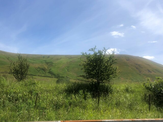
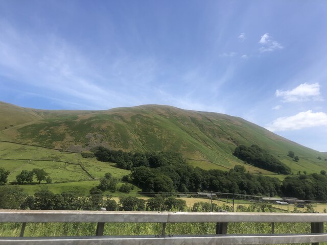
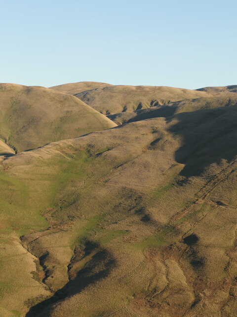
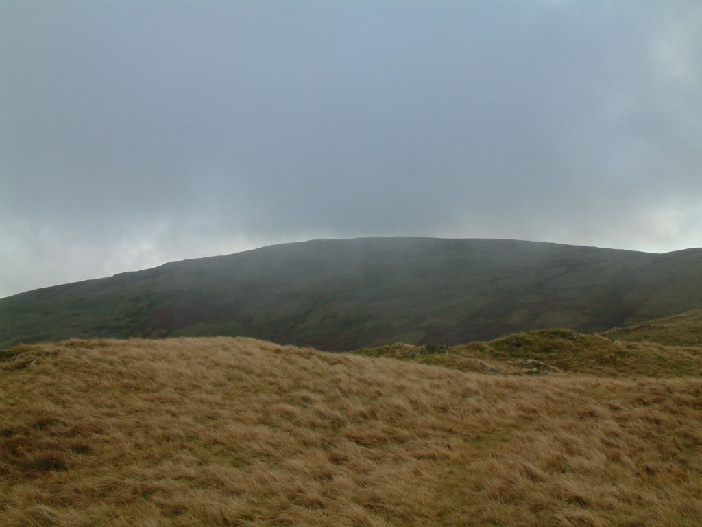
Blease Fell is a picturesque area located in the county of Westmorland in the northwestern region of England. It is renowned for its stunning natural beauty, encompassing rolling downs and expansive moorland. With an elevation of approximately 600 meters (1968 feet), the fell offers panoramic views of the surrounding countryside, making it a popular destination for hikers, nature enthusiasts, and photographers.

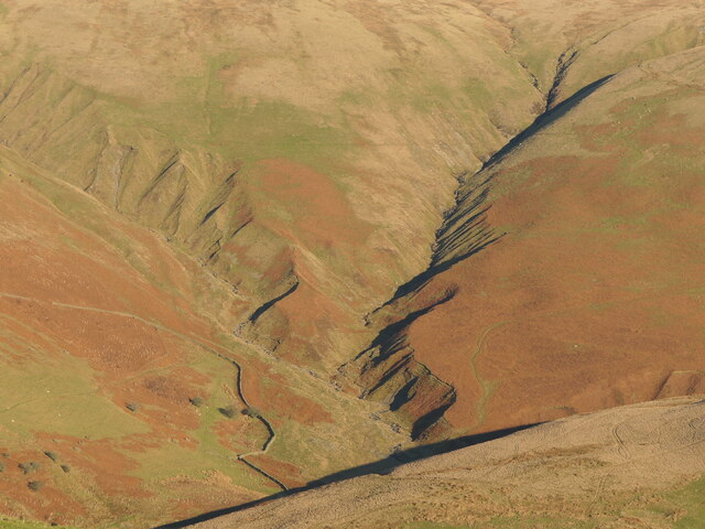
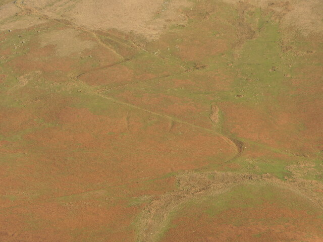
The landscape of Blease Fell is characterized by its gently sloping hills, covered in lush green grasslands, heather, and bracken. The area is also dotted with numerous rocky outcrops and crags, adding to its rugged charm. Visitors can expect to encounter a variety of flora and fauna, including red grouse, curlews, and golden plovers, which thrive in the open moorland habitat.

The fell is crisscrossed by a network of footpaths and trails, offering opportunities for both leisurely walks and more challenging hikes. One popular route is the Blease Fell Circular Walk, which takes visitors on a scenic journey through the fell, passing by ancient stone circles, historic sites, and quaint villages.

Due to its remote location, Blease Fell offers a peaceful and tranquil escape from the hustle and bustle of city life. The lack of light pollution also makes it an ideal spot for stargazing, with clear views of the night sky and occasional sightings of the Northern Lights.

In summary, Blease Fell in Westmorland is a captivating landscape of downs and moorland, providing a haven for nature lovers and offering breathtaking views of the surrounding countryside.

If you have any feedback on the listing, please let us know in the comments section below.

Blease Fell Images

Images are sourced within 2km of 54.399211/-2.5803058 or Grid Reference NY6200. Thanks to Geograph Open Source API. All images are credited.

 M6 northbound
M6 northbound
Temperature inversion in Lunedale The fog has almost evaporated at this point but was still thick over Morecambe Bay and well to the south. The West Coast Main Line and M6 squeeze through the westernmost of the Yorkshire Dales, a narrow corridor between the Lake District National Park (foreground) and the Yorkshire Dales National Park over the river.
Temperature inversion in Lunedale
The fog has almost evaporated at this point but was still thick over Morecambe Bay and well to the south. The West Coast Main Line and M6 squeeze through the westernmost of the Yorkshire Dales, a narrow corridor between the Lake District National Park (foreground) and the Yorkshire Dales National Park over the river.
Powson Knott Howgill Fells, Lunedale
Powson Knott
Howgill Fells, Lunedale
View west to Borrowdale As seen from the M6
View west to Borrowdale
As seen from the M6
The final reach of Borrow Beck The A685 bridge (from which this shot was taken) is the landmark for taking out of Borrow Beck, whether you've paddled from High Borrow Bridge by the A6 (involving a remarkably long shuttle by car for the length of the trip) or you've driven a kilometre up the valley and carried in to do just the final and most interesting 2½ kilometres (for which there is probably just about enough water seen here, unlike the upper section which definitely needs more rain). The (topographical) right bank is the right bank to egress, whether just here, or at Low Borrow Bridge just before the confluence with the River Lune. As always with a wooded valley, and especially after a stormy winter such as we have just had, watch out for fallen trees.
The final reach of Borrow Beck
The A685 bridge (from which this shot was taken) is the landmark for taking out of Borrow Beck, whether you've paddled from High Borrow Bridge by the A6 (involving a remarkably long shuttle by car for the length of the trip) or you've driven a kilometre up the valley and carried in to do just the final and most interesting 2½ kilometres (for which there is probably just about enough water seen here, unlike the upper section which definitely needs more rain). The (topographical) right bank is the right bank to egress, whether just here, or at Low Borrow Bridge just before the confluence with the River Lune. As always with a wooded valley, and especially after a stormy winter such as we have just had, watch out for fallen trees.
Langdale Fells from the M6
Blease Fell
Blease Fell
M6 Bridge, West Coast Mainline bridge
River Lune
River Lune
Trees along the River Lune
Low Borrowbridge Farm The farm is in the next square but all the field in front is in this square.
Low Borrowbridge Farm
The farm is in the next square but all the field in front is in this square.
Small barn
Small barn
River Lune The River Lune rises in the North Pennines and flows generally westward to its mouth just west of Lancaster, a total length of 44 miles.
Wikipedia: <span class="nowrap"><a title="http://en.wikipedia.org/wiki/River_Lune" rel="nofollow ugc noopener" href="http://en.wikipedia.org/wiki/River_Lune">Link</a><img style="margin-left:2px;" alt="External link" title="External link - shift click to open in new window" src="https://s1.geograph.org.uk/img/external.png" width="10" height="10"/></span>
River Lune
The River Lune rises in the North Pennines and flows generally westward to its mouth just west of Lancaster, a total length of 44 miles. Wikipedia: LinkExternal link
Salterwath Bridge The River Lune rises in the North Pennines and flows generally westward to its mouth just west of Lancaster, a total length of 44 miles.
Wikipedia: <span class="nowrap"><a title="http://en.wikipedia.org/wiki/River_Lune" rel="nofollow ugc noopener" href="http://en.wikipedia.org/wiki/River_Lune">Link</a><img style="margin-left:2px;" alt="External link" title="External link - shift click to open in new window" src="https://s1.geograph.org.uk/img/external.png" width="10" height="10"/></span>
Salterwath Bridge
The River Lune rises in the North Pennines and flows generally westward to its mouth just west of Lancaster, a total length of 44 miles. Wikipedia: LinkExternal link
M6, Lunedale The fog is evaporating during an anticyclonic temperature inversion. Warm on the summits, frosty on the valley floor.
M6, Lunedale
The fog is evaporating during an anticyclonic temperature inversion. Warm on the summits, frosty on the valley floor.
Weasel Gill and Grains Gill Lunedale, Howgill Fells. Grains Gill on the left.
Weasel Gill and Grains Gill
Lunedale, Howgill Fells. Grains Gill on the left.
A path in the Howgill Fells Long and short options on the zigzags.  The steep hillsides  above Lunedale are well provisioned with paths and tracks for access to upland pasture and peat mosses.
A path in the Howgill Fells
Long and short options on the zigzags. The steep hillsides above Lunedale are well provisioned with paths and tracks for access to upland pasture and peat mosses.
Howgill Fells seen from across Lunedale Looking into Yorkshire across the hidden but not unheard M6.
Howgill Fells seen from across Lunedale
Looking into Yorkshire across the hidden but not unheard M6.
Show me another place!

Blease Fell is located at Grid Ref: NY6200 (Lat: 54.399211, Lng: -2.5803058)

Administrative County: Cumbria

District: Eden

Police Authority: Cumbria

What 3 Words

///snows.tools.niece. Near Sedbergh, Cumbria

Nearby Locations

Blease Fell Blease Fell

Related Wikis

Nearby Amenities

Located within 500m of 54.399211,-2.5803058
Blease Fell
Ele: 474
Natural: peak
Lat/Long: 54.3978094/-2.5807563
The data included in this document is from www.openstreetmap.org. The data is made available under ODbL.

Have you been to Blease Fell?

Leave your review of Blease Fell below (or comments, questions and feedback).