Cairn of Finglenny

Hill, Mountain in Kincardineshire

Scotland

Cairn of Finglenny

Clachnaben to Mount Battock Looking toward distant Mount Battock from the small rocky outcrop west of the Clachnaben trig pillar.
Clachnaben to Mount Battock Credit: I A Smellie

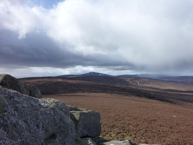
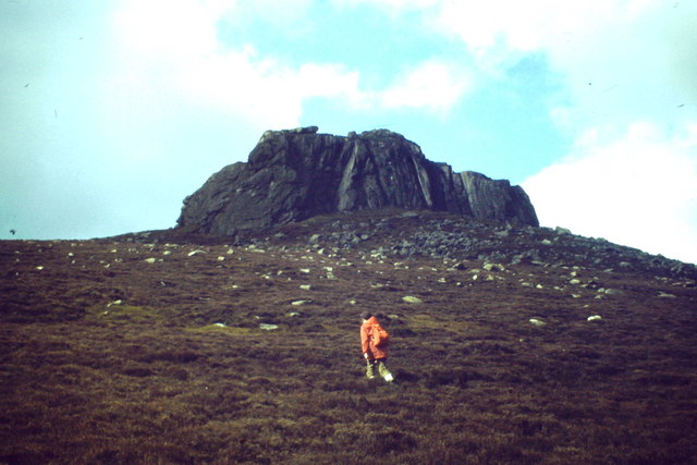
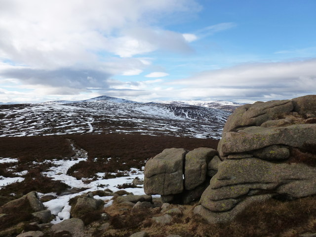
The Cairn of Finglenny is a prominent hill located in Kincardineshire, Scotland. Situated in the picturesque countryside, it stands at an elevation of approximately 334 meters (1,096 feet). The hill is known for its distinctive cairn, a man-made pile of stones, located at its summit.

The cairn itself is an ancient structure, believed to date back to the Bronze Age, making it thousands of years old. It has been suggested that the cairn was used for ceremonial or burial purposes, as is common with many ancient cairns found across Scotland. The stones used in the construction of the cairn are predominantly granite, which is abundant in the region.

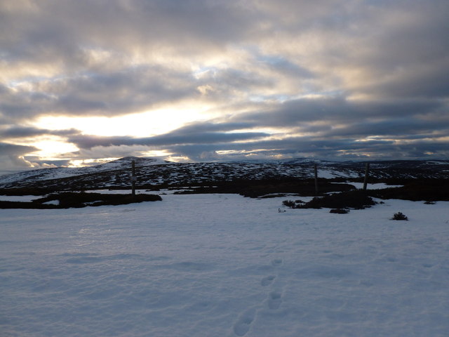
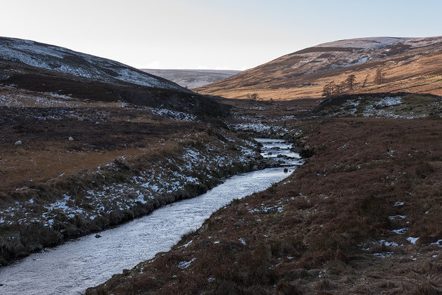
The hill offers stunning panoramic views of the surrounding landscape, including the nearby Grampian Mountains and the North Sea. On clear days, it is possible to see as far as the city of Aberdeen, which is approximately 30 kilometers (19 miles) to the north.

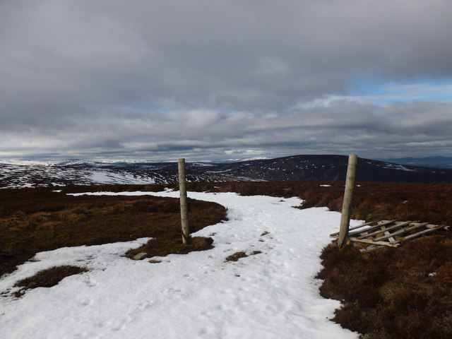
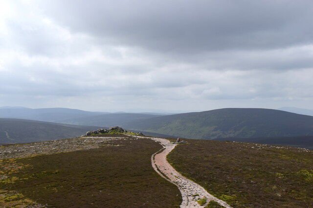
The Cairn of Finglenny is a popular destination for hikers and nature enthusiasts, who can enjoy the serene beauty of the Scottish countryside while exploring the hill's trails. Many visitors also choose to picnic at the summit, taking advantage of the breathtaking views and peaceful atmosphere.

Overall, the Cairn of Finglenny is a historically significant and visually striking landmark in Kincardineshire, offering a glimpse into Scotland's ancient past and providing a memorable experience for those who venture to its summit.

If you have any feedback on the listing, please let us know in the comments section below.

Cairn of Finglenny Images

Images are sourced within 2km of 56.950524/-2.6338652 or Grid Reference NO6184. Thanks to Geograph Open Source API. All images are credited.

Clachnaben to Mount Battock Looking toward distant Mount Battock from the small rocky outcrop west of the Clachnaben trig pillar.
Clachnaben to Mount Battock
Looking toward distant Mount Battock from the small rocky outcrop west of the Clachnaben trig pillar.
Clachnaben from the East Distinctive lower Deeside hilltop with its large tor at a height of about 590 metres amsl.
<span class="nowrap"><a title="http://en.wikipedia.org/wiki/Clachnaben" rel="nofollow ugc noopener" href="http://en.wikipedia.org/wiki/Clachnaben">Link</a><img style="margin-left:2px;" alt="External link" title="External link - shift click to open in new window" src="https://s1.geograph.org.uk/img/external.png" width="10" height="10"/></span>
Clachnaben from the East
Distinctive lower Deeside hilltop with its large tor at a height of about 590 metres amsl. LinkExternal link
Collapsed gate, Hill of Edendocher The hill track across the grouse moor is picked out in snow.
Collapsed gate, Hill of Edendocher
The hill track across the grouse moor is picked out in snow.
Track junction, Hill of Edendocher Looking back towards Mount Battock as the sun sets.
Track junction, Hill of Edendocher
Looking back towards Mount Battock as the sun sets.
View towards Mount Battock from Clachnaben The granite rocks in the foreground lie to the west of the main summit tor.
View towards Mount Battock from Clachnaben
The granite rocks in the foreground lie to the west of the main summit tor.
Path between Hill of Edendocher and Clachnaben The path dips into a shallow col here as it crosses the grouse moor.  The tor on Clachnaben's summit is on the horizon.
Path between Hill of Edendocher and Clachnaben
The path dips into a shallow col here as it crosses the grouse moor. The tor on Clachnaben's summit is on the horizon.
Sun highlights the tor on Clachnaben The setting sun picks out the granite tor on the summit of Clachnaben.
Sun highlights the tor on Clachnaben
The setting sun picks out the granite tor on the summit of Clachnaben.
Evening light on Clachnaben The setting sun casts reddish light on the heather moorland and massive granite tor on the summit of Clachnaben.  Surprisingly, the smaller tor to the left hasn't been deemed worthy of inclusion on the map.
Evening light on Clachnaben
The setting sun casts reddish light on the heather moorland and massive granite tor on the summit of Clachnaben. Surprisingly, the smaller tor to the left hasn't been deemed worthy of inclusion on the map.
Manmade pool/puddle A very rectangular shaped pond that has appeared in the last 14 months.  There does not appear to be any stream flowing into this pool, and the edges away from the track side have been built up with what I assume to be the contents of the hole.  This hole appears to be very deep with sheer sides.
Manmade pool/puddle
A very rectangular shaped pond that has appeared in the last 14 months. There does not appear to be any stream flowing into this pool, and the edges away from the track side have been built up with what I assume to be the contents of the hole. This hole appears to be very deep with sheer sides.
Water of Dye Water of Dye in Glen Dye on an afternoon in January.
Water of Dye
Water of Dye in Glen Dye on an afternoon in January.
Charr At Charr in Glen Dye mid afternoon in January just before the sun went behind the hills.  The building on the right contains the bothy which walkers can use.
Charr
At Charr in Glen Dye mid afternoon in January just before the sun went behind the hills. The building on the right contains the bothy which walkers can use.
Beautiful wintery day in Glen Dye Approaching the confluence of Water of Dye and Water of Charr. The stand of pine trees, bridge and roof of the bothy are visible
Beautiful wintery day in Glen Dye
Approaching the confluence of Water of Dye and Water of Charr. The stand of pine trees, bridge and roof of the bothy are visible
Looking up Water of Charr from Charr Bothy Charr Bothy is a well maintained MBA managed bothy open to all for overnight use. The small building beyond is a rough animal shelter.
Looking up Water of Charr from Charr Bothy
Charr Bothy is a well maintained MBA managed bothy open to all for overnight use. The small building beyond is a rough animal shelter.
Scots Pine near Charr Bothy One of the few areas of trees in the glen, which is almost exclusively grouse moor (and threatened by wind farm developers).
Scots Pine near Charr Bothy
One of the few areas of trees in the glen, which is almost exclusively grouse moor (and threatened by wind farm developers).
The only way is up View of the granite tor of Clachnaben from Black Hillocks, some 300 metres below the summit.
The only way is up
View of the granite tor of Clachnaben from Black Hillocks, some 300 metres below the summit.
Looking west from Clachnaben under changeable skies A second, apparently unnamed tor lies about 200 metres to the west of the main granite outcrop.  Two walkers can be seen by the trig pillar in the blown-up photo.
Looking west from Clachnaben under changeable skies
A second, apparently unnamed tor lies about 200 metres to the west of the main granite outcrop. Two walkers can be seen by the trig pillar in the blown-up photo.
Clachnaben viewed from the west The two hikers and their dog visible in the blown-up photo give an idea of the scale of the spectacular granite tor.    The British Geological Survey interactive map identifies the rock as Clachnaben granite (Mount Battock Pluton) , being igneous bedrock formed between 433.4 and 393.3 million years ago during the Silurian and Devonian periods.
Clachnaben viewed from the west
The two hikers and their dog visible in the blown-up photo give an idea of the scale of the spectacular granite tor. The British Geological Survey interactive map identifies the rock as Clachnaben granite (Mount Battock Pluton) , being igneous bedrock formed between 433.4 and 393.3 million years ago during the Silurian and Devonian periods.
Clachnaben in its setting The spectacular 589 metre granite tor viewed from the west.
Clachnaben in its setting
The spectacular 589 metre granite tor viewed from the west.
Show me another place!

Cairn of Finglenny is located at Grid Ref: NO6184 (Lat: 56.950524, Lng: -2.6338652)

Unitary Authority: Aberdeenshire

Police Authority: North East

What 3 Words

///puncture.jump.clincher. Near Banchory, Aberdeenshire

Related Wikis

Clachnaben

Clachnaben (archaically "Cloch-na'bain"; Scottish Gaelic: "Clach na Beinne") is a 589-metre hill in Glen Dye, Aberdeenshire, Scotland. It is a distinctive...

Cairn O' Mounth

Cairn O' Mounth/Cairn O' Mount (Scottish Gaelic: Càrn Mhon) is a high mountain pass in Aberdeenshire, Scotland. The place name is a survival of the ancient...

Mount Battock

Mount Battock (778 m) is a mountain in the Mounth on the eastern edge of the Scottish Highlands, on the border between Aberdeenshire and Angus. A rounded...

Easter Clune Castle

Easter Clune Castle is a ruined 16th-century tower house, about 6 miles (9.7 km) south-west of Banchory, Aberdeenshire, Scotland, and south of the Water...

Have you been to Cairn of Finglenny?

Leave your review of Cairn of Finglenny below (or comments, questions and feedback).