Pennington Hill
Hill, Mountain in Lancashire
England
Pennington Hill
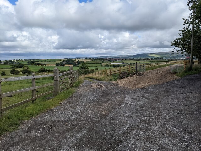
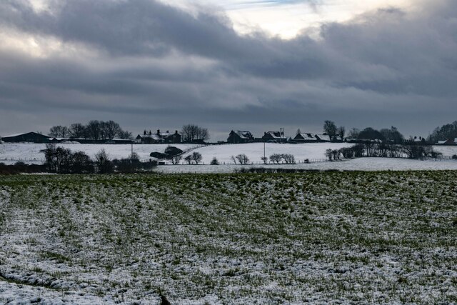
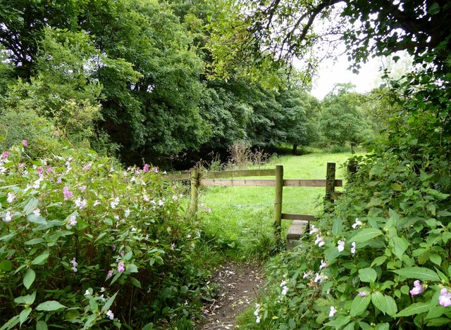
Pennington Hill is a prominent geographical feature located in Lancashire, a county in the northwest of England. This hill, also referred to as Pennington Moor or Pennington Knoll, is situated within the West Pennine Moors, an area known for its picturesque landscapes and diverse wildlife.
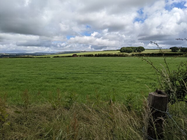
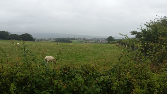
Standing at an elevation of approximately 1,050 feet (320 meters), Pennington Hill offers magnificent panoramic views of the surrounding countryside. Its summit is adorned with heather and grasslands, providing a habitat for numerous animal and plant species. Visitors can spot a variety of birds, such as grouse and peregrine falcons, soaring through the skies above the hill.
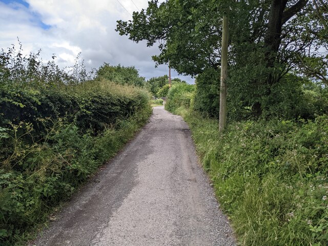
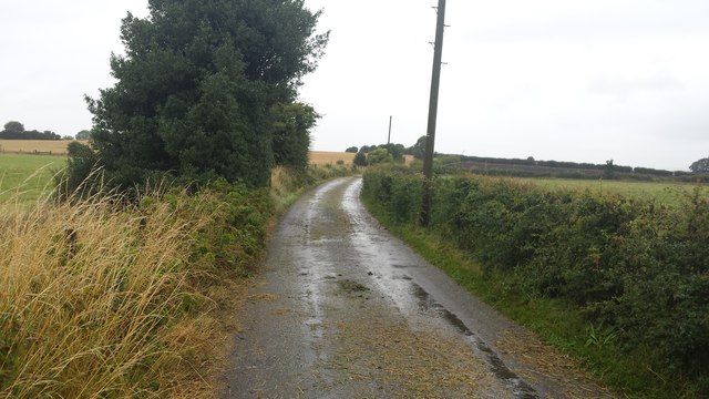
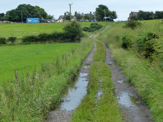
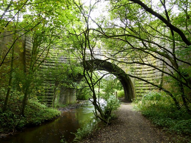
The hill is accessible via several walking trails, allowing outdoor enthusiasts to explore its natural beauty and experience the tranquility of the countryside. The trails wind through scenic valleys, offering glimpses of babbling brooks and ancient woodlands along the way.
Pennington Hill is also known for its historical significance. The area was once home to several coal mines, which played a significant role in the industrial history of Lancashire. Remnants of these mines can still be seen today, adding an element of historical intrigue to the landscape.
The hill's location within the West Pennine Moors makes it a popular destination for hikers, nature lovers, and photographers. Its natural beauty and rich history make Pennington Hill a must-visit location for those seeking to immerse themselves in Lancashire's stunning countryside.
If you have any feedback on the listing, please let us know in the comments section below.
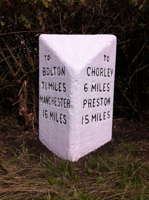
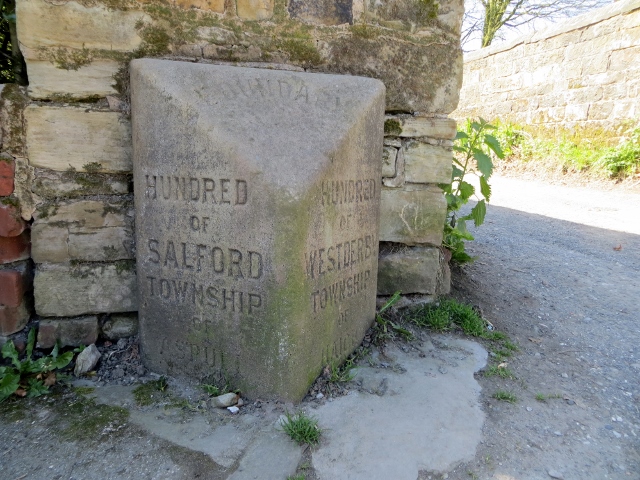
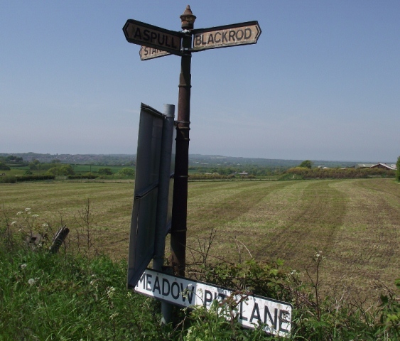
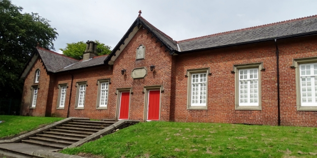
Pennington Hill Images
Images are sourced within 2km of 53.592245/-2.5924679 or Grid Reference SD6010. Thanks to Geograph Open Source API. All images are credited.
Pennington Hill is located at Grid Ref: SD6010 (Lat: 53.592245, Lng: -2.5924679)
Unitary Authority: Bolton
Police Authority: Greater Manchester
What 3 Words
///sung.crescendo.appetite. Near Blackrod, Manchester
Nearby Locations
Related Wikis

Blackrod Urban District
Blackrod was, from 1872 to 1974, a local government district centred on the village of Blackrod in the administrative county of Lancashire, England....

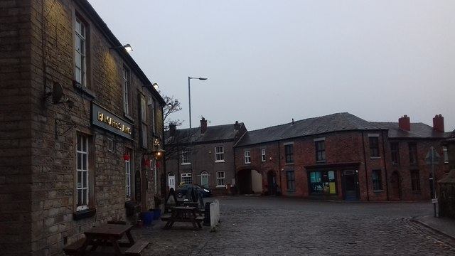
Blackrod
Blackrod is a town and civil parish situated within the Metropolitan Borough of Bolton in Greater Manchester, England. Nestled in the historic County of...
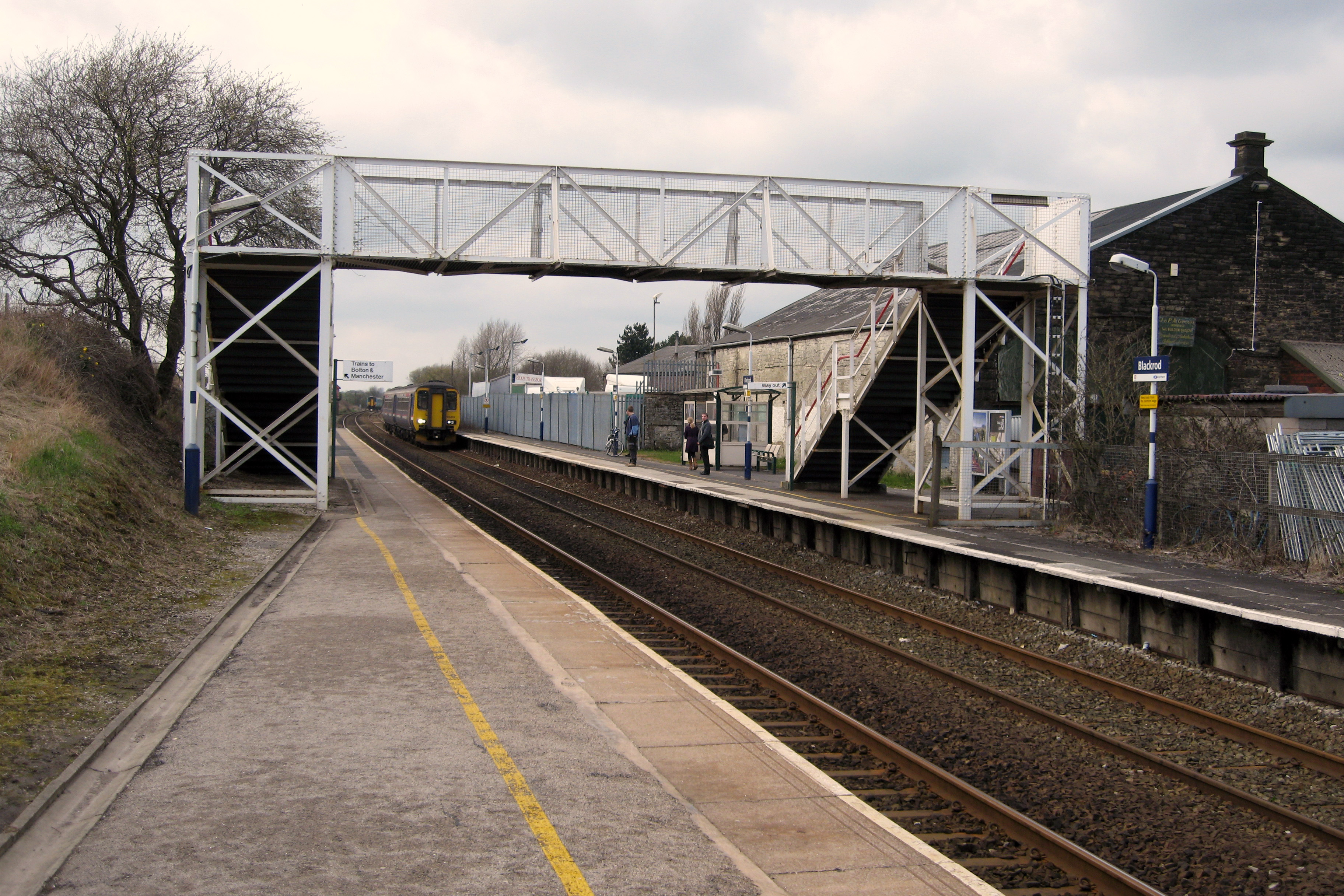
Blackrod railway station
Blackrod railway station serves the towns of Blackrod and Horwich, Greater Manchester, England. It is 6.5 miles (10 km ) north west of Bolton railway station...

Rivington Water Treatment Works
Rivington Water Treatment Works is a water treatment plant in Rivington, Lancashire, England. It is located below the Lower Rivington Reservoir, the last...
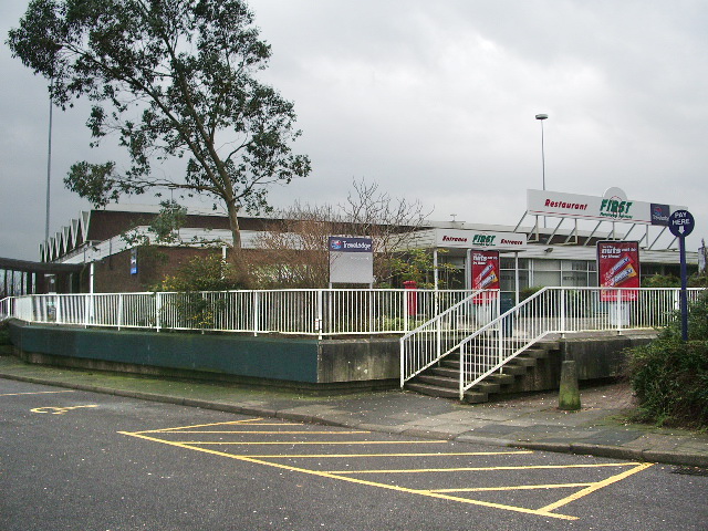
Rivington services
Rivington services is a motorway service area in Anderton, Lancashire, England. The service station is situated between Junctions 6 and 8 of the M61 (there...
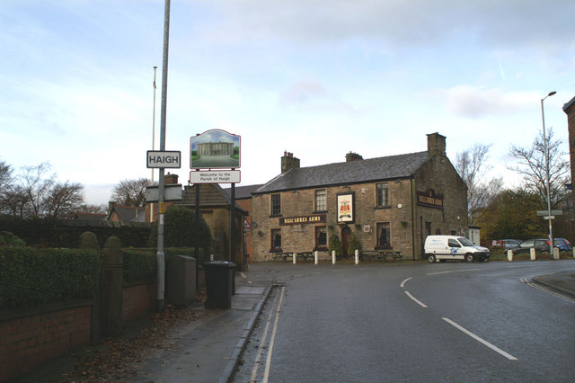
Haigh, Greater Manchester
Haigh () is a village and civil parish in the Metropolitan Borough of Wigan, Greater Manchester, England. Historically part of Lancashire, it is located...

St David's Church, Haigh
St David's Church is in Copperas Lane, Haigh, Wigan, Greater Manchester, England. It is an active Anglican parish church in the deanery of Wigan, the archdeaconry...

Anderton, Lancashire
Anderton is a civil parish in the Borough of Chorley in Lancashire, England. It is now a suburb of Adlington, 5 miles (8 km) northwest of Bolton. Within...
Nearby Amenities
Located within 500m of 53.592245,-2.5924679Have you been to Pennington Hill?
Leave your review of Pennington Hill below (or comments, questions and feedback).