Scotland, Little

Settlement in Lancashire

England

Scotland, Little

A junction on Toddington Lane
A junction on Toddington Lane Credit: David Medcalf

Scotland, Little is a small village located in the county of Lancashire, in the northwest of England. Situated in the beautiful countryside, this quaint village offers a tranquil and picturesque setting for its residents and visitors alike.

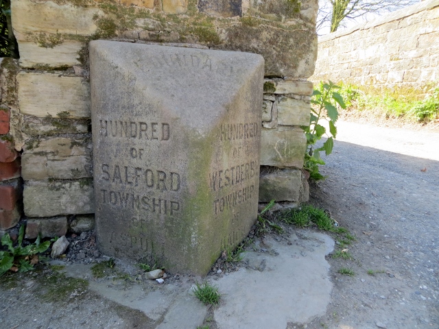
The village of Scotland, Little is known for its rich history, dating back to medieval times. It is believed that the village got its name from the Scottish settlers who migrated to the area in the past. Today, remnants of the village's past can still be seen in the form of historic buildings and structures, adding to its charm.

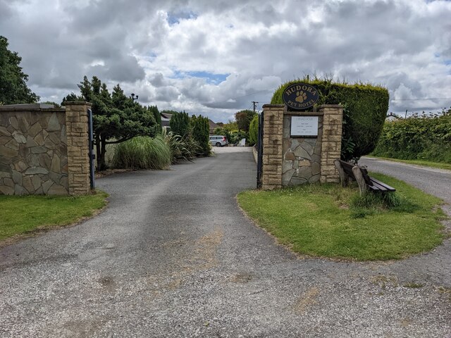
With a population of around 500 people, Scotland, Little is a close-knit community where people know each other by name. The village is home to a range of amenities and facilities, including a local pub, a village hall, and a primary school. This makes it an ideal place for families and individuals looking for a peaceful and friendly environment.

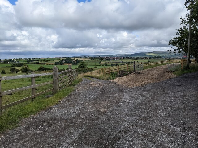
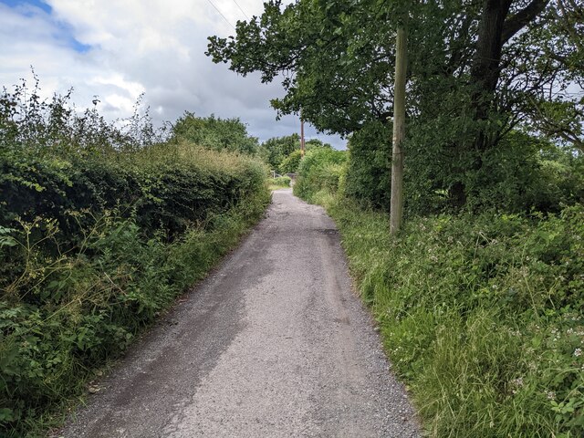
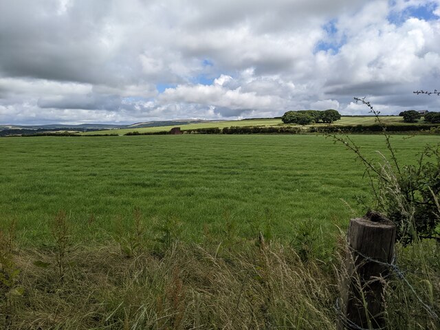
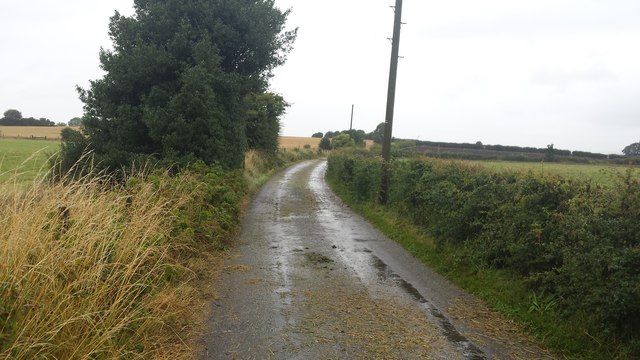
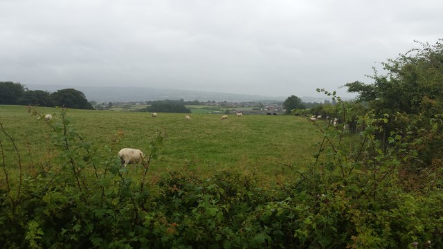
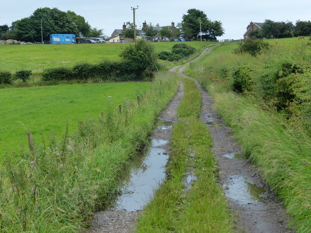
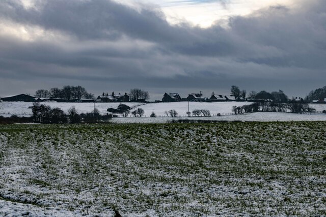
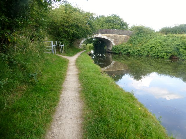
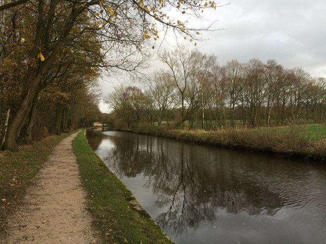
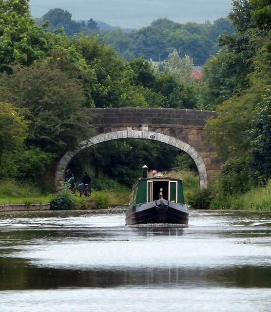
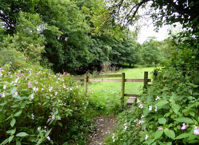
Nature lovers will appreciate the stunning countryside surrounding Scotland, Little. The village is surrounded by rolling hills, green meadows, and picturesque farmland. It is a perfect location for outdoor activities such as hiking, cycling, and horseback riding. The nearby River Ribble offers opportunities for fishing and boating.

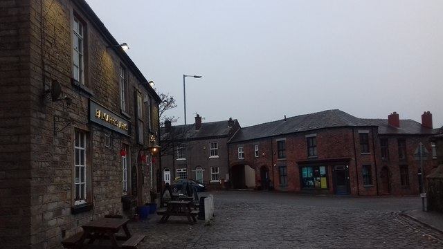
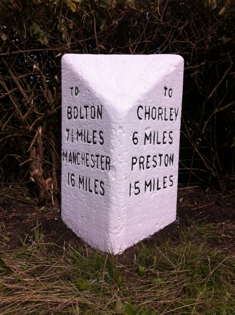
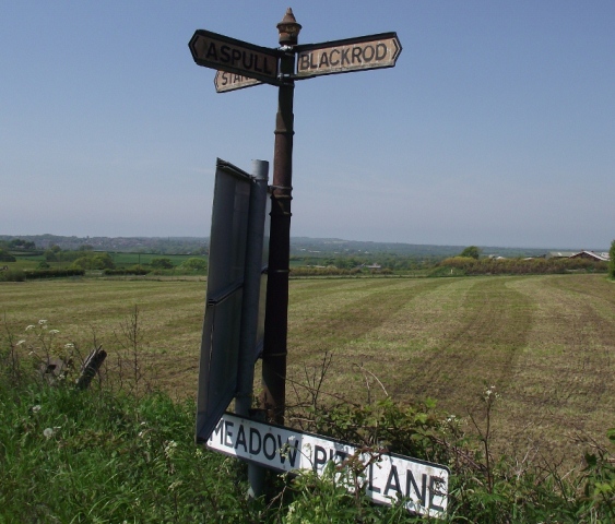
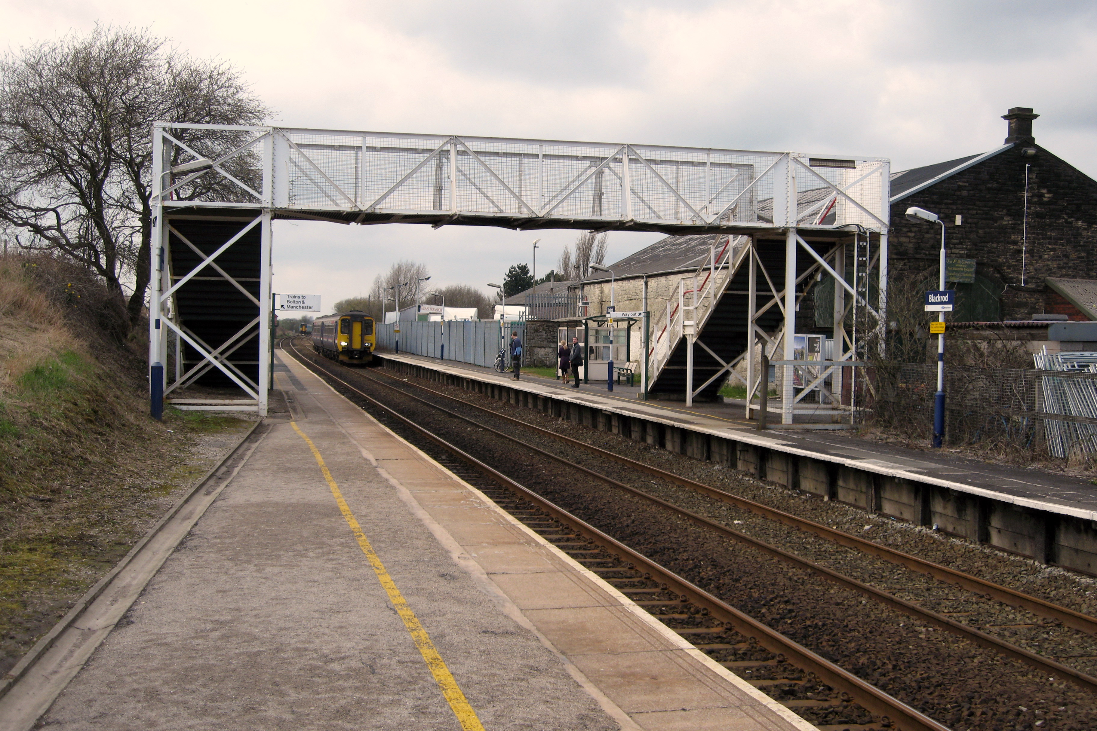
Despite its small size, Scotland, Little is well-connected to neighboring towns and cities. The village is located just a short drive away from the market town of Clitheroe, where residents can find a wider range of amenities, shops, and restaurants.

In conclusion, Scotland, Little is a charming village in Lancashire, offering a peaceful and idyllic setting for its residents. With its rich history, beautiful countryside, and close-knit community, it is an appealing place for those seeking a slower pace of life.

If you have any feedback on the listing, please let us know in the comments section below.

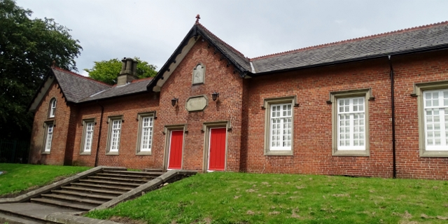
Scotland, Little Images

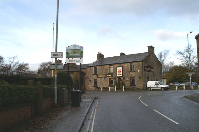
Images are sourced within 2km of 53.59184/-2.595229 or Grid Reference SD6010. Thanks to Geograph Open Source API. All images are credited.

A junction on Toddington Lane
A fine bridleway near Aberdeen Farm
The gateway to Hudora Pet Hotel Presumably a 'posh' version of kennels.
The gateway to Hudora Pet Hotel
Presumably a 'posh' version of kennels.
Fields near Aberdeen Farm
Stanley Lane, Aspull The track heads to Gorses Farm.
Stanley Lane, Aspull
The track heads to Gorses Farm.
Sheep from Gorses Farm grazing The field is east of a passing place on Stanley Lane, Aspull.
Sheep from Gorses Farm grazing
The field is east of a passing place on Stanley Lane, Aspull.
Haigh - Wigan
Haigh - Wigan
Farmland south of Blackrod In the distance is the Macron Stadium (formerly Reebok Stadium), the home stadium of English football club Bolton Wanderers. It is located on the Middlebrook Retail Park at Horwich.
Farmland south of Blackrod
In the distance is the Macron Stadium (formerly Reebok Stadium), the home stadium of English football club Bolton Wanderers. It is located on the Middlebrook Retail Park at Horwich.
Toddington Lane at Haigh
Old Milestone by the A5408, Scot Lane End, Blackrod parish Carved stone post by the B5408 (was A6), in parish of BLACKROD (BOLTON District), Scot Lane End, by hedge on verge, on East side of road. Lancs. CC stone triangle, erected by the County Council in the 19th/20th century. 

Inscription reads:-
: TO / BOLTON / 7½ MILES / MANCHESTER / 16 MILES : : TO / CHORLEY / 6 MILES / PRESTON / 15 MILES :

Milestone Society National ID: LA_MACY16.
Old Milestone by the A5408, Scot Lane End, Blackrod parish
Carved stone post by the B5408 (was A6), in parish of BLACKROD (BOLTON District), Scot Lane End, by hedge on verge, on East side of road. Lancs. CC stone triangle, erected by the County Council in the 19th/20th century. Inscription reads:- : TO / BOLTON / 7½ MILES / MANCHESTER / 16 MILES : : TO / CHORLEY / 6 MILES / PRESTON / 15 MILES : Milestone Society National ID: LA_MACY16.
Old Boundary Marker by the B5239, Haigh Road, Haigh Parish Parish Boundary Marker by the track, in parish of Haigh (Wigan District), at junction with the track South of the church lych-gate, on corner.

Surveyed

Milestone Society National ID: LA_HAIASP01pb
Old Boundary Marker by the B5239, Haigh Road, Haigh Parish
Parish Boundary Marker by the track, in parish of Haigh (Wigan District), at junction with the track South of the church lych-gate, on corner. Surveyed Milestone Society National ID: LA_HAIASP01pb
Direction Sign - Signpost by the B5239, Meadow Pit Lane Cup & bell finial - 3 arms; unclassified by the B5239, in parish of Haigh (Wigan District), Little Scotland, junction of Meadow Pit Lane with Riley Lane, North verge.

Surveyed

Milestone Society National ID: LA_SD6009
Direction Sign - Signpost by the B5239, Meadow Pit Lane
Cup & bell finial - 3 arms; unclassified by the B5239, in parish of Haigh (Wigan District), Little Scotland, junction of Meadow Pit Lane with Riley Lane, North verge. Surveyed Milestone Society National ID: LA_SD6009
Haigh and Aspull primary school On Copperas Lane.
Haigh and Aspull primary school
On Copperas Lane.
Approaching Weavers Bridge Weavers Bridge is Bridge 65 on the Leeds-Liverpool Canal and is also known locally as the Anderton Bridge.
Approaching Weavers Bridge
Weavers Bridge is Bridge 65 on the Leeds-Liverpool Canal and is also known locally as the Anderton Bridge.
Leeds-Liverpool Canal
Waterhouse Bridge No 67 Crossing the Leeds and Liverpool Canal near Adlington.
Waterhouse Bridge No 67
Crossing the Leeds and Liverpool Canal near Adlington.
Stile on a grassy path Leading to a somewhat overgrown and indistinct path on the bank of the River Douglas.
Stile on a grassy path
Leading to a somewhat overgrown and indistinct path on the bank of the River Douglas.
Show me another place!

Scotland, Little is located at Grid Ref: SD6010 (Lat: 53.59184, Lng: -2.595229)

Unitary Authority: Bolton

Police Authority: Greater Manchester

What 3 Words

///finalists.fillings.ages. Near Blackrod, Manchester

Related Wikis

Nearby Amenities

Located within 500m of 53.59184,-2.595229
Passing Place
Lat/Long: 53.5949439/-2.5935444
Source: Yahoo Aerial Imagery
Lat/Long: 53.5946079/-2.5928094
Bus Stop
Little Scotland/Dark Lane
Bus: yes
Naptan AtcoCode: 1800WA09031
Naptan Bearing: S
Naptan CommonName: Little Scotland/Dark Lane
Naptan Indicator: Nr House 8
Naptan Landmark: NR HOUSE 8
Naptan NaptanCode: mantgpdw
Naptan PlusbusZoneRef: MNCRPIC
Naptan ShortCommonName: Dark Lane
Naptan Street: LITTLE SCOTLAND
Naptan Verified: no
Network: TfGM
Public Transport: platform
Source: naptan_import
Lat/Long: 53.5939946/-2.5933962
Bus Stop
Hill Lane/Vicarage Road West
Bus: yes
Naptan AtcoCode: 1800WA09041
Naptan Bearing: W
Naptan CommonName: Hill Lane/Vicarage Road West
Naptan Indicator: O/s House 60
Naptan Landmark: HOUSE 60
Naptan NaptanCode: mantgpga
Naptan PlusbusZoneRef: MNCRPIC
Naptan ShortCommonName: Vicarage Road W.
Naptan Street: HILL LANE
Naptan Verified: no
Network: TfGM
Public Transport: platform
Source: naptan_import
Lat/Long: 53.5937831/-2.590157
Bus Stop
Little Scotland/Copperas Lane
Bus: yes
Naptan AtcoCode: 1800WA33941
Naptan Bearing: S
Naptan CommonName: Little Scotland/Copperas Lane
Naptan Indicator: Nr York Place
Naptan Landmark: YORK PLACE
Naptan NaptanCode: manpgdmd
Naptan PlusbusZoneRef: MNCRPIC
Naptan ShortCommonName: Copperas Lane
Naptan Street: LITTLE SCOTLAND
Naptan Verified: no
Network: TfGM
Public Transport: platform
Source: naptan_import
Lat/Long: 53.5896211/-2.5956435
Bus Stop
Little Scotland/Copperas Lane
Bus: yes
Naptan AtcoCode: 1800WA33951
Naptan Bearing: N
Naptan CommonName: Little Scotland/Copperas Lane
Naptan Indicator: Nr Farm
Naptan Landmark: FARM
Naptan NaptanCode: manpgdmg
Naptan PlusbusZoneRef: MNCRPIC
Naptan ShortCommonName: Copperas Lane
Naptan Street: LITTLE SCOTLAND
Naptan Verified: no
Network: TfGM
Public Transport: platform
Source: naptan_import
Lat/Long: 53.5898182/-2.5957823
Bus Stop
Little Scotland/Blundell Lane
Bus: yes
Naptan AtcoCode: 1800WA33961
Naptan Bearing: S
Naptan CommonName: Little Scotland/Blundell Lane
Naptan Indicator: Opp House 26
Naptan Landmark: HOUSE 26
Naptan NaptanCode: manpgdmj
Naptan PlusbusZoneRef: MNCRPIC
Naptan ShortCommonName: Blundell Lane
Naptan Street: LITTLE SCOTLAND
Naptan Verified: no
Network: TfGM
Public Transport: platform
Source: naptan_import
Lat/Long: 53.592177/-2.5950298
Bus Stop
Little Scotland/Blundell Lane
Bus: yes
Naptan AtcoCode: 1800WA33971
Naptan Bearing: N
Naptan CommonName: Little Scotland/Blundell Lane
Naptan Indicator: Gallaghers Pub
Naptan Landmark: GALLAGHERS PUB
Naptan NaptanCode: manpgdmp
Naptan PlusbusZoneRef: MNCRPIC
Naptan ShortCommonName: Blundell Lane
Naptan Street: LITTLE SCOTLAND
Naptan Verified: no
Network: TfGM
Public Transport: platform
Source: naptan_import
Lat/Long: 53.5925923/-2.5946579
Bus Stop
Little Scotland/Dark Lane
Bus: yes
Naptan AtcoCode: 1800WA33981
Naptan Bearing: N
Naptan CommonName: Little Scotland/Dark Lane
Naptan Indicator: Nr House 8
Naptan Landmark: HOUSE 8
Naptan NaptanCode: manpgdmt
Naptan PlusbusZoneRef: MNCRPIC
Naptan ShortCommonName: Dark Lane
Naptan Street: LITTLE SCOTLAND
Naptan Verified: no
Network: TfGM
Public Transport: platform
Source: naptan_import
Lat/Long: 53.5940452/-2.5935149
Bus Stop
Hill Lane/Vicarage Road West
Bus: yes
Naptan AtcoCode: 1800WA33991
Naptan Bearing: E
Naptan CommonName: Hill Lane/Vicarage Road West
Naptan Indicator: O/s House 60
Naptan Landmark: HOUSE 60
Naptan NaptanCode: manpgdpa
Naptan PlusbusZoneRef: MNCRPIC
Naptan ShortCommonName: Vicarage Road W.
Naptan Street: HILL LANE
Naptan Verified: no
Network: TfGM
Public Transport: platform
Source: naptan_import
Lat/Long: 53.5938913/-2.590083
Source: Yahoo Aerial Imagery
Lat/Long: 53.593602/-2.5893667
Source: Yahoo Aerial Imagery
Lat/Long: 53.5933714/-2.5895511
Turning Circle
Lat/Long: 53.5944243/-2.5904561
Turning Circle
Lat/Long: 53.5941582/-2.5896161
Turning Circle
Lat/Long: 53.5946379/-2.5913059
Grit Bin
Lat/Long: 53.5936538/-2.5889295
Entrance: yes
Lat/Long: 53.5914437/-2.596295
Entrance: yes
Lat/Long: 53.5913404/-2.5964143
The data included in this document is from www.openstreetmap.org. The data is made available under ODbL.

Have you been to Scotland, Little?

Leave your review of Scotland, Little below (or comments, questions and feedback).