Butter Hill
Hill, Mountain in Cumberland Carlisle
England
Butter Hill
Butter Hill, also known as Cumberland Hill, is a prominent feature located in Cumberland, Rhode Island, in the United States. Rising approximately 489 feet above sea level, it is considered a hill rather than a mountain due to its height and topographic characteristics.
The hill is situated within the larger geographic region known as the Blackstone Valley, which encompasses parts of both Rhode Island and Massachusetts. It is a popular destination for outdoor enthusiasts, offering breathtaking views and a variety of recreational activities.
Butter Hill is predominantly characterized by its dense forest cover, consisting of a mix of deciduous and coniferous trees. The hill's slopes are relatively steep, providing opportunities for hiking, trail running, and mountain biking. Several well-maintained trails traverse the area, leading visitors through the serene woodland and ultimately to the summit.
At the top of Butter Hill, hikers are rewarded with panoramic vistas of the surrounding landscape. On clear days, one can see as far as the Providence skyline and beyond. The hill's strategic location also makes it an ideal spot for birdwatching, with various species often spotted amidst the treetops.
Due to its accessibility and natural beauty, Butter Hill attracts locals and tourists alike throughout the year. Whether visitors seek an invigorating hike or a peaceful escape into nature, this hill offers an enjoyable experience for outdoor enthusiasts of all ages and skill levels.
If you have any feedback on the listing, please let us know in the comments section below.
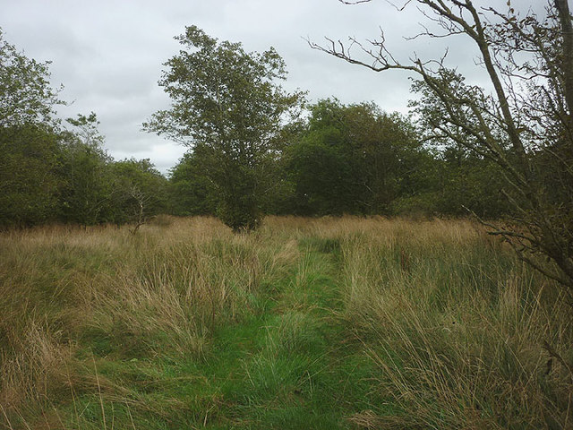
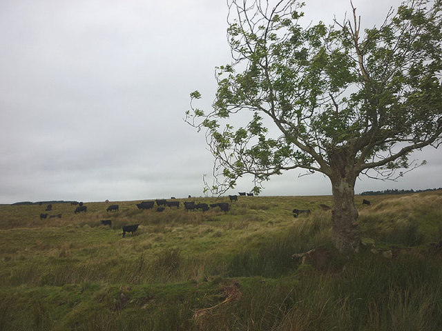
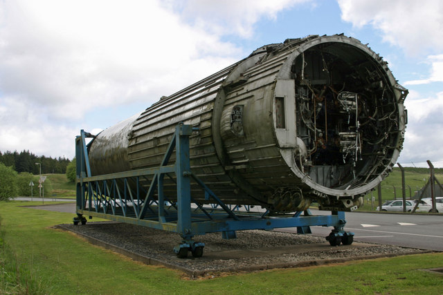
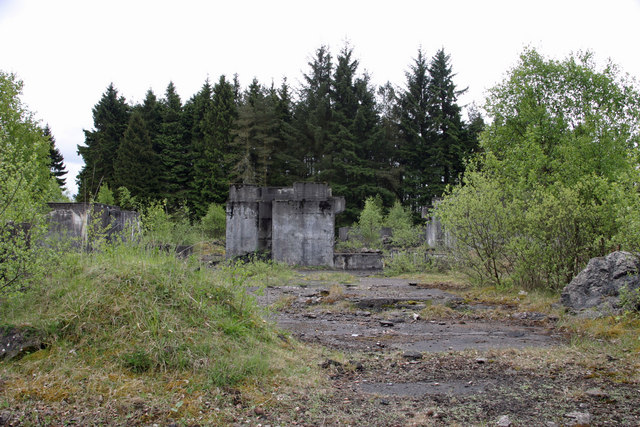
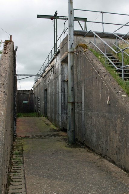
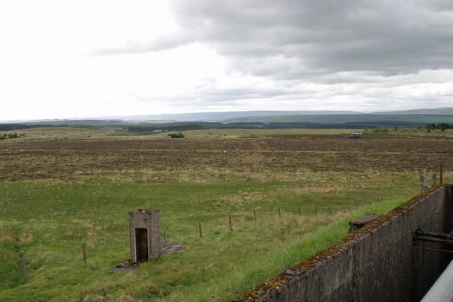
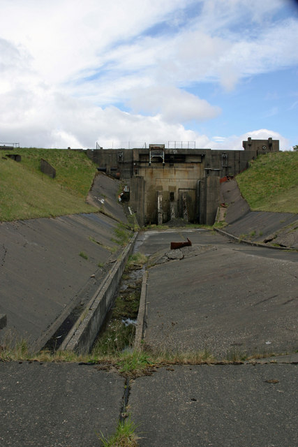
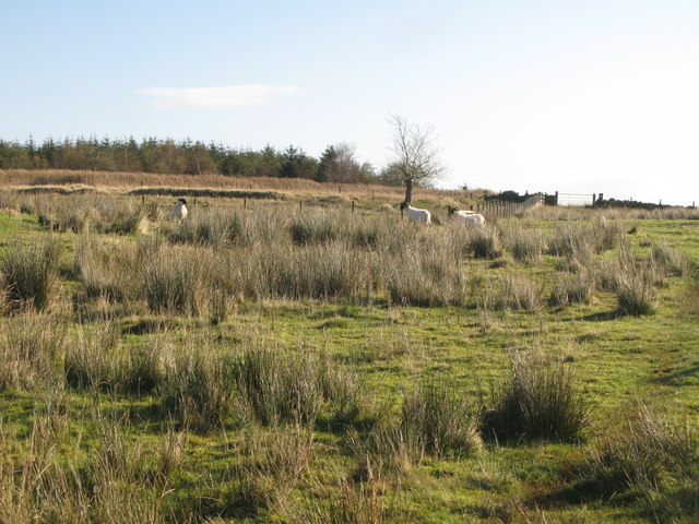
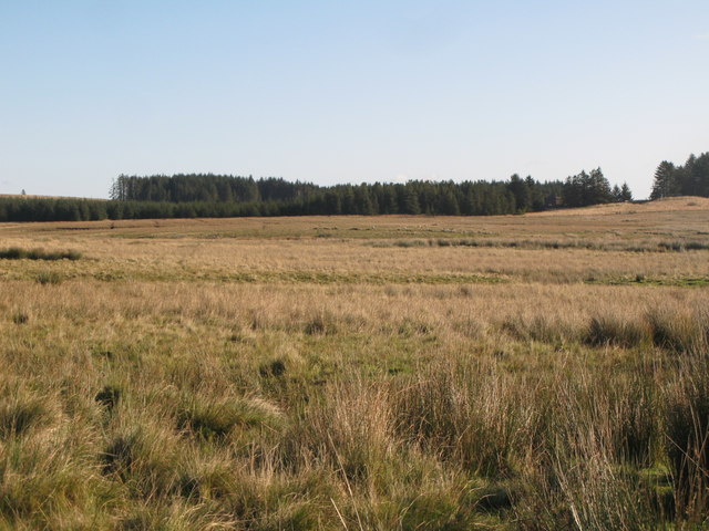
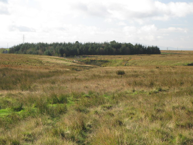
Butter Hill Images
Images are sourced within 2km of 55.027508/-2.6135833 or Grid Reference NY6070. Thanks to Geograph Open Source API. All images are credited.
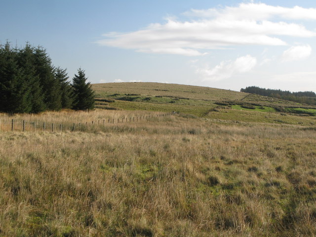
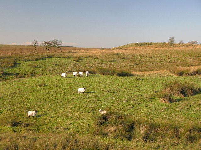
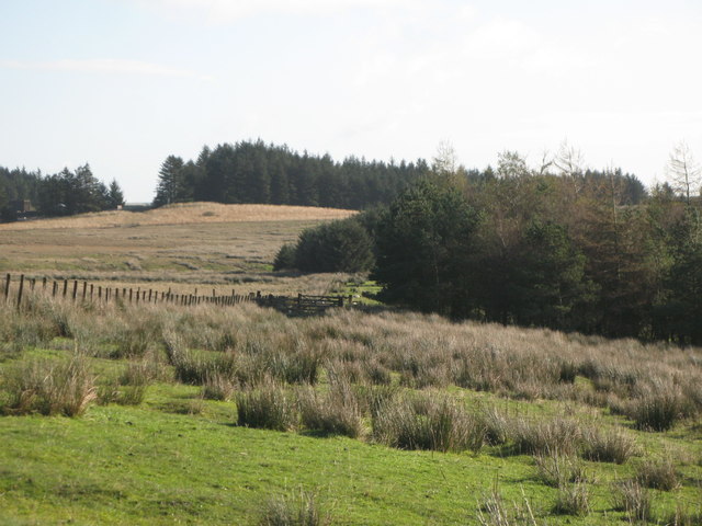
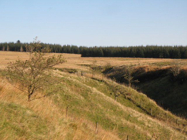


Butter Hill is located at Grid Ref: NY6070 (Lat: 55.027508, Lng: -2.6135833)
Administrative County: Cumbria
District: Carlisle
Police Authority: Cumbria
What 3 Words
///blockage.earphones.numeral. Near Greenhead, Northumberland
Nearby Locations
Related Wikis

RAF Spadeadam
RAF Spadeadam (pronounced "Spade Adam") (IATA: N/A, ICAO: EGOM) is a Royal Air Force (RAF) station in Cumbria, England, close to the border with Northumberland...

Kingwater
Kingwater is a civil parish in City of Carlisle district, Cumbria, England. At the 2011 census it had a population of 170.The parish is bordered to the...

Popping Stone
The Popping Stone is a group of three rounded boulders in the Irthing Gorge near the village of Gilsland. It was not always this shape, however, and photographs...

Gilsland Spa
Gilsland Spa is the present-day name of a hotel at Gilsland, Cumbria, England. It is named from the sulphurous spring which issues from a cliff below...
Nearby Amenities
Located within 500m of 55.027508,-2.6135833Have you been to Butter Hill?
Leave your review of Butter Hill below (or comments, questions and feedback).