Milking Hill

Hill, Mountain in Cumberland Carlisle

England

Milking Hill

Bridleway in Dumblar Rigg Plantation Little-trodden by hoof or foot by the look of it.
Bridleway in Dumblar Rigg Plantation Credit: Karl and Ali

Milking Hill is a prominent hill located in the county of Cumberland, England. It is part of the expansive range of hills known as the Cumbrian Mountains, which are renowned for their picturesque landscapes and stunning natural beauty. Milking Hill stands at an impressive elevation of approximately 1,659 feet (505 meters), making it one of the highest peaks in the region.

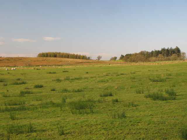
The hill is characterized by its distinctive shape, featuring a gently sloping ascent that gradually becomes steeper towards the summit. Milking Hill offers breathtaking panoramic views of the surrounding countryside, including the nearby towns and villages nestled amidst the rolling hills and lush green valleys.

The hill is a popular destination for outdoor enthusiasts, attracting hikers, walkers, and nature lovers from far and wide. There are several well-marked trails that lead to the summit, providing visitors with various options to explore and appreciate the natural wonders along the way. The diverse flora and fauna that inhabit the area further enhance the experience, with wildflowers blooming in the spring and various bird species soaring through the skies.

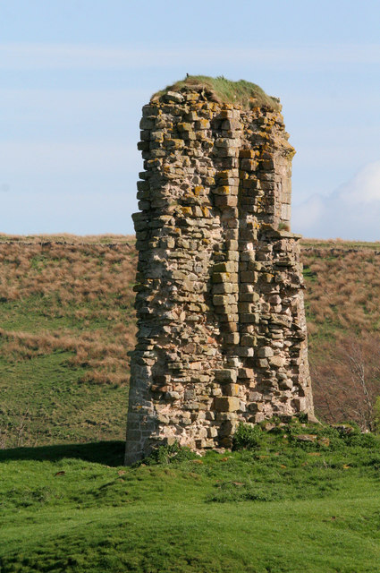
Milking Hill also holds historical significance, with evidence of human activity dating back centuries. It is believed that the hill was once used as a vantage point for defense during ancient times. Additionally, remnants of past settlements and structures have been discovered in the vicinity, offering insights into the region's rich heritage.

Overall, Milking Hill stands as a remarkable landmark in Cumberland, offering both recreational opportunities and a connection to the area's past. Its natural beauty and cultural importance make it a must-visit destination for those seeking a true taste of the region's charm.

If you have any feedback on the listing, please let us know in the comments section below.
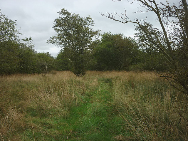
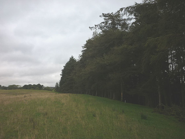
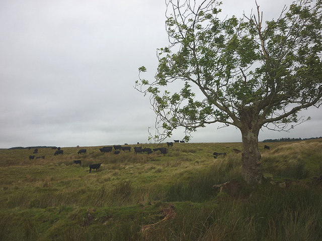
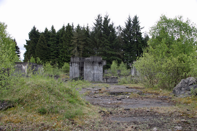
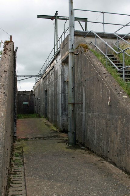
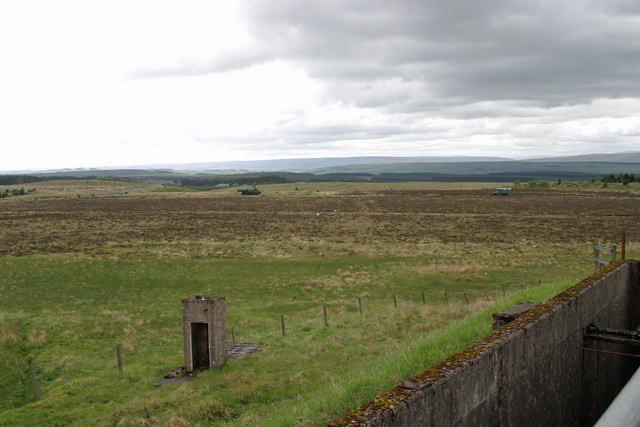
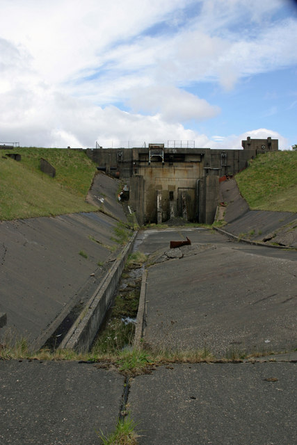
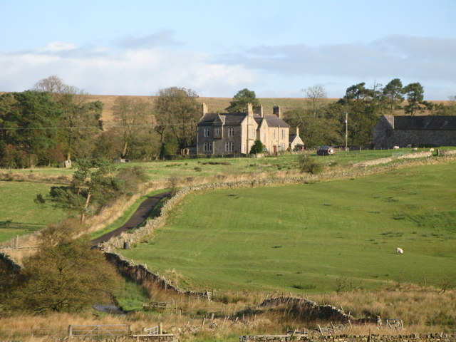
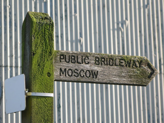
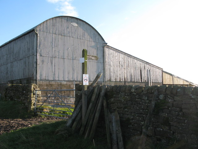
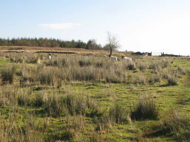
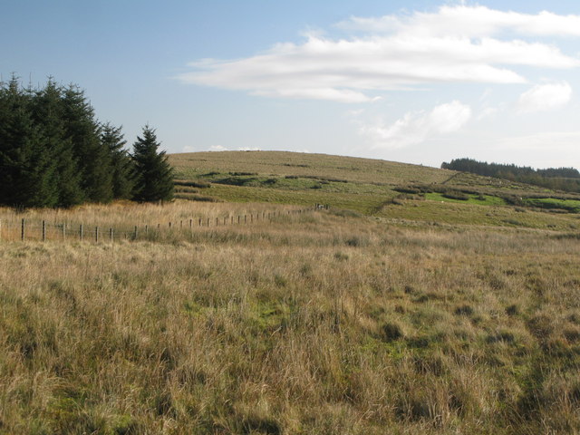
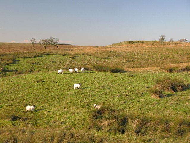
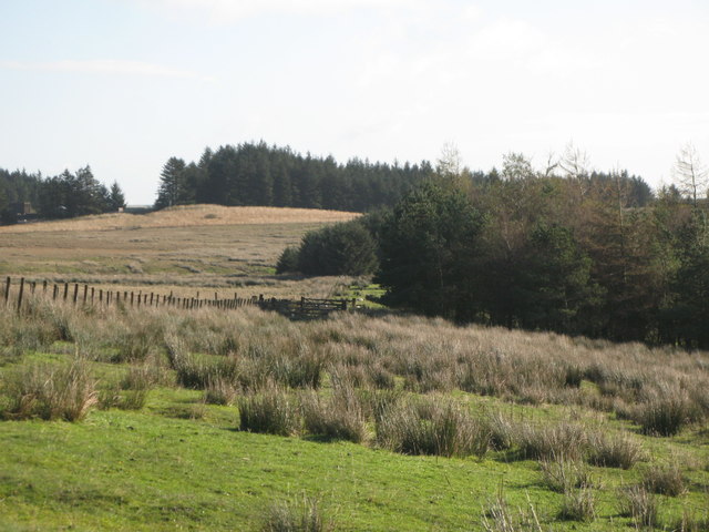
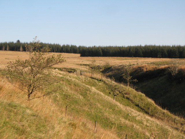
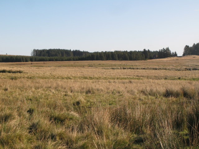
Milking Hill Images

Images are sourced within 2km of 55.028647/-2.6263816 or Grid Reference NY6070. Thanks to Geograph Open Source API. All images are credited.

Bridleway in Dumblar Rigg Plantation Little-trodden by hoof or foot by the look of it.
Bridleway in Dumblar Rigg Plantation
Little-trodden by hoof or foot by the look of it.
Path above Green's Burn The burn is shielded from view by a plantation of tall conifers.
Path above Green's Burn
The burn is shielded from view by a plantation of tall conifers.
Black Cattle on Ash Moss Rough grazing on the appropriately-named (the solitary tree is an ash) patch of moorland by Spadeadam Plantation.
Black Cattle on Ash Moss
Rough grazing on the appropriately-named (the solitary tree is an ash) patch of moorland by Spadeadam Plantation.
RAF Spadeadam Booster stage of a Blue Streak rocket assembled and tested here during the 1950/60s.
RAF Spadeadam
Booster stage of a Blue Streak rocket assembled and tested here during the 1950/60s.
RAF Spadeadam These are the remains of the BOC liquid oxygen plant that produced fuel for the Blue Streak rockets assembled and tested here in the 1950/60s.
RAF Spadeadam
These are the remains of the BOC liquid oxygen plant that produced fuel for the Blue Streak rockets assembled and tested here in the 1950/60s.
RAF Spadeadam - Prior Lancy The engine testing site control bunker.
RAF Spadeadam - Prior Lancy
The engine testing site control bunker.
RAF Spadeadam - Prior Lancy View roughly south west from the roof of the engine testing control bunker.
RAF Spadeadam - Prior Lancy
View roughly south west from the roof of the engine testing control bunker.
RAF Spadeadam - Prior Lancy Test bed for the engines for Blue Streak rockets assembled and tested in the 1950/60s.
RAF Spadeadam - Prior Lancy
Test bed for the engines for Blue Streak rockets assembled and tested in the 1950/60s.
Spadeadam Farm
Spadeadam Farm
Public bridleway to Moscow This <a href="https://www.geograph.org.uk/photo/891635">NY6268 : Moscow</a>.
Public bridleway to Moscow
Barns at Spadeadam Farm Shows the location of <a href="https://www.geograph.org.uk/photo/2656060">NY5870 : Public bridleway to Moscow</a>.
Barns at Spadeadam Farm
Shows the location of NY5870 : Public bridleway to Moscow.
Rough pastures south of Spadeadam Farm
Rough pastures west of Spadeadam Plantation
Rough pastures west of Milking Hill
Ash Moss
Ash Moss
Rough pastures north of Dumblar Rigg Plantation
The cleugh of Trout Beck
Middle Shield Park (2)
Show me another place!

Milking Hill is located at Grid Ref: NY6070 (Lat: 55.028647, Lng: -2.6263816)

Administrative County: Cumbria

District: Carlisle

Police Authority: Cumbria

What 3 Words

///beaker.hours.specifies. Near Greenhead, Northumberland

Related Wikis

Nearby Amenities

Located within 500m of 55.028647,-2.6263816
Dumblar Rigg
Place: locality
Lat/Long: 55.026181/-2.6198625
The data included in this document is from www.openstreetmap.org. The data is made available under ODbL.

Have you been to Milking Hill?

Leave your review of Milking Hill below (or comments, questions and feedback).