Angel Hill

Hill, Mountain in Westmorland Eden

England

Angel Hill

Hedge-lined minor road between Reagill and Sleagill Looking north-westward.
Hedge-lined minor road between Reagill and Sleagill Credit: Peter Wood

Located in the county of Cumbria, England, Angel Hill is a prominent hill situated in the district of Westmorland. Standing at an elevation of approximately 379 meters (1,243 feet), it is classified as a hill rather than a mountain. Angel Hill offers stunning panoramic views of the surrounding countryside, making it a popular spot among hikers and nature enthusiasts.

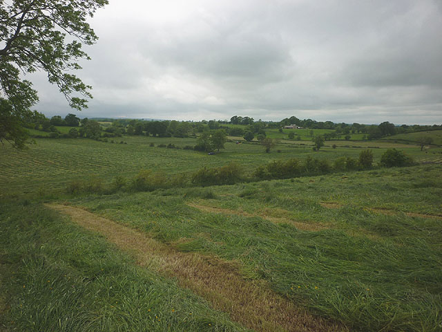
The hill is characterized by its gentle slopes and lush green vegetation, providing a picturesque setting for visitors to enjoy. On a clear day, one can see the rolling hills, verdant meadows, and quaint villages that dot the landscape. The view from the summit of Angel Hill is particularly breathtaking, with the mighty Lake District mountains forming a majestic backdrop.

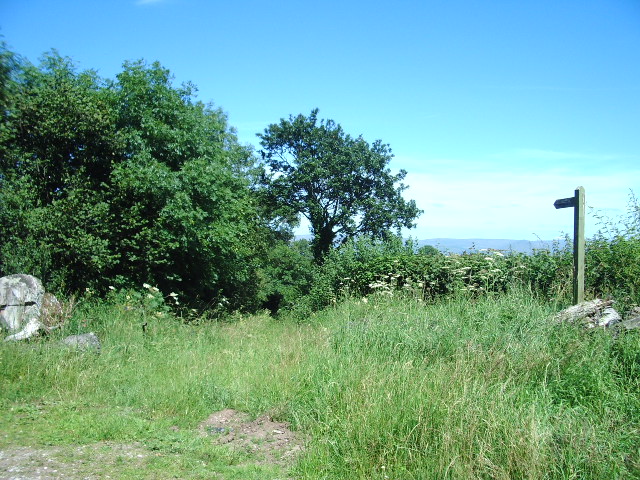
Angel Hill is blessed with a diverse range of flora and fauna, making it an excellent location for wildlife enthusiasts. The hill is home to various species of birds, including buzzards, kestrels, and peregrine falcons, which can often be seen soaring through the skies. Additionally, the surrounding woodlands and fields support a rich array of plant life, including wildflowers, ferns, and mosses.

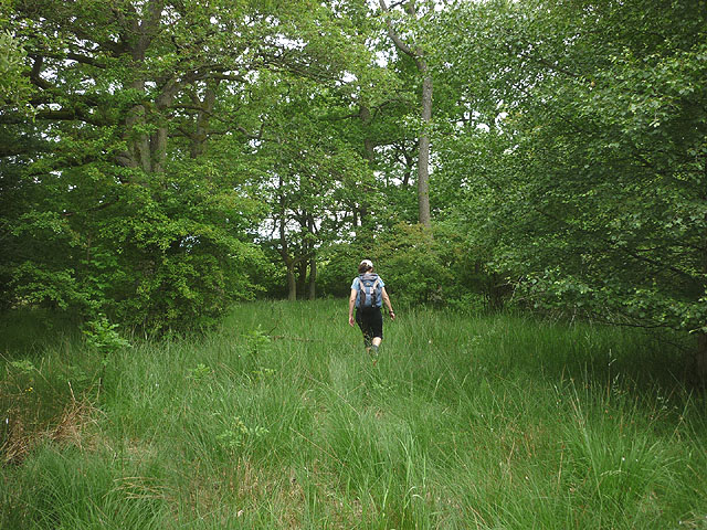
For those seeking outdoor activities, Angel Hill offers several walking and hiking trails that cater to different skill levels. The paths meander through the hillside, providing opportunities for leisurely strolls or more challenging treks. Whether it's a peaceful walk amidst nature or an adventurous climb to the summit, Angel Hill has something to offer for everyone.

Overall, Angel Hill in Westmorland is a natural gem that showcases the beauty of the English countryside. With its stunning vistas, abundant wildlife, and recreational opportunities, it is a must-visit destination for anyone looking to immerse themselves in the wonders of nature.

If you have any feedback on the listing, please let us know in the comments section below.
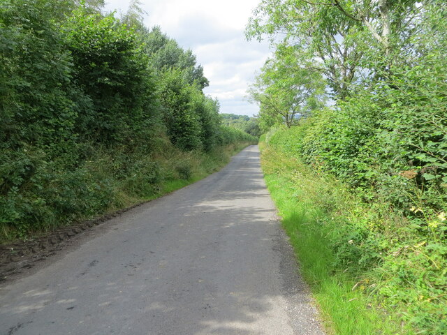
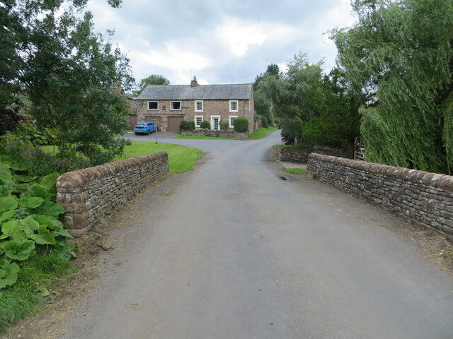
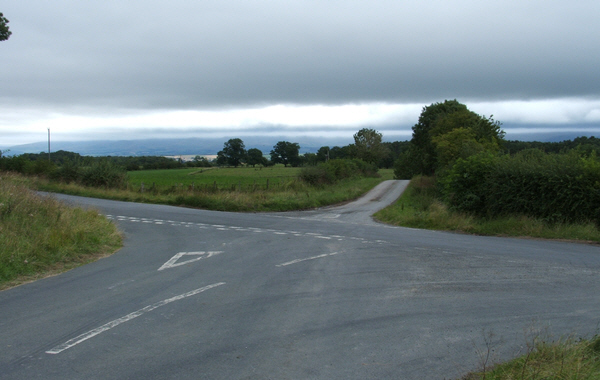
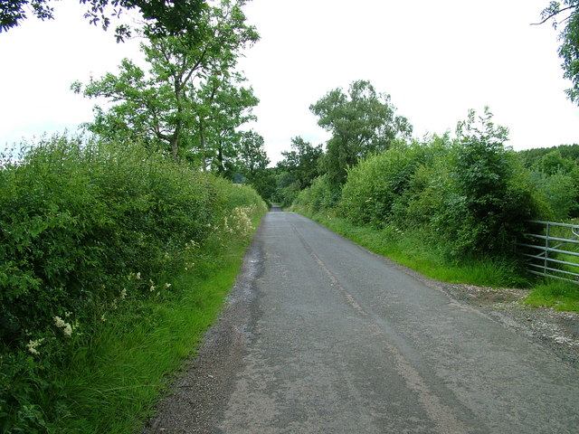
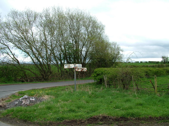
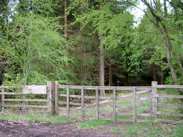
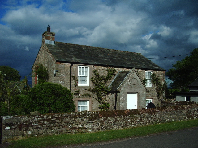
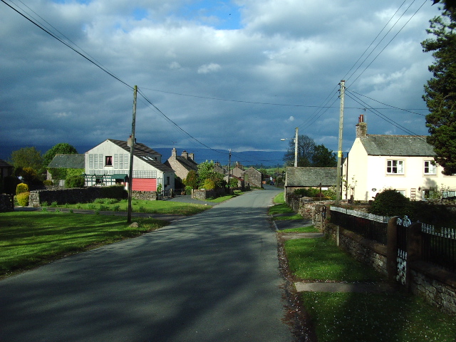
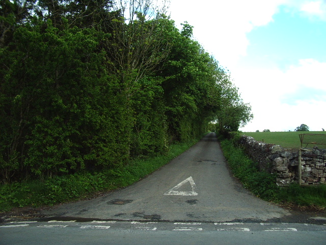
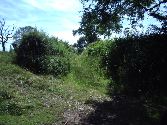
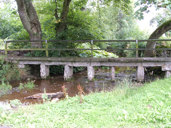
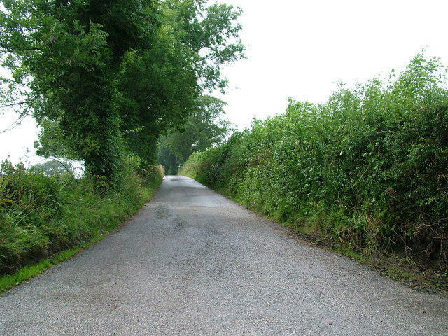
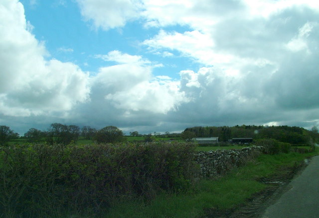
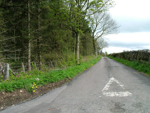
Angel Hill Images

Images are sourced within 2km of 54.575057/-2.6279886 or Grid Reference NY5920. Thanks to Geograph Open Source API. All images are credited.

Hedge-lined minor road between Reagill and Sleagill Looking north-westward.
Hedge-lined minor road between Reagill and Sleagill
Looking north-westward.
Road and Bridge crossing Sleagill Beck in Sleagill Looking south-westward.
Road and Bridge crossing Sleagill Beck in Sleagill
Looking south-westward.
Cross Roads Cross roads from Sleagill to Littlebeck. To the left Morland, to the right Maulds Meaburn.
Cross Roads
Cross roads from Sleagill to Littlebeck. To the left Morland, to the right Maulds Meaburn.
Road near Turnbank
Road near Turnbank
Sign at crossroads
Sign at crossroads
Woodland entrance
Woodland entrance
Ex-Wesley Methodist Chapel, Newby Head, Newby
Inscribed Stone Found above the door of the porch in the old Methodist chapel.
Inscribed Stone
Found above the door of the porch in the old Methodist chapel.
Main road through Newby
The Road to White Stone The woodland on the northeast of the road is Thorneycroft Plantation
The Road to White Stone
The woodland on the northeast of the road is Thorneycroft Plantation
Bridleway to Howgill Looking at the growth of vegetation it is not one of the busy bridleways
Bridleway to Howgill
Looking at the growth of vegetation it is not one of the busy bridleways
Public bridleway to Newby
Footbridge over Newby Beck Footbridge at Newby End.
Footbridge over Newby Beck
Footbridge at Newby End.
Road to Lansmere Farm
Thorney Croft Farm
Thorney Croft Farm
The edge of the plantation
Harvested grass east of Sleagill A tractor was busy cutting the grass crop over a wide area where the footpath passes through.
Harvested grass east of Sleagill
A tractor was busy cutting the grass crop over a wide area where the footpath passes through.
Footpath through Main Ing Plantation As with many of the unfrequented paths in this area there is no marking and little sign of passage.
Footpath through Main Ing Plantation
As with many of the unfrequented paths in this area there is no marking and little sign of passage.
Show me another place!

Angel Hill is located at Grid Ref: NY5920 (Lat: 54.575057, Lng: -2.6279886)

Administrative County: Cumbria

District: Eden

Police Authority: Cumbria

What 3 Words

///levels.airstrip.burglars. Near Shap, Cumbria

Nearby Locations

Angel Hill

Related Wikis

Nearby Amenities

Located within 500m of 54.575057,-2.6279886
Power: pole
Lat/Long: 54.5772529/-2.6345006
Power: pole
Lat/Long: 54.5779524/-2.6330093
Power: pole
Lat/Long: 54.5781405/-2.6313543
Power: pole
Lat/Long: 54.5783061/-2.6297906
Power: pole
Lat/Long: 54.578481/-2.6282537
Power: pole
Lat/Long: 54.5786458/-2.6267704
Power: pole
Lat/Long: 54.5707756/-2.6288022
Power: pole
Lat/Long: 54.5718606/-2.6293426
Power: pole
Lat/Long: 54.5727738/-2.6297936
Power: pole
Lat/Long: 54.5734319/-2.630395
Power: pole
Lat/Long: 54.5742301/-2.6311598
The data included in this document is from www.openstreetmap.org. The data is made available under ODbL.

Have you been to Angel Hill?

Leave your review of Angel Hill below (or comments, questions and feedback).