Appleside Hill
Hill, Mountain in Cumberland Eden
England
Appleside Hill
Appleside Hill is a prominent geographical feature located in Cumberland, a county in the northwest region of England. Situated in the scenic Lake District National Park, this hill is part of the larger range known as the Pennines.
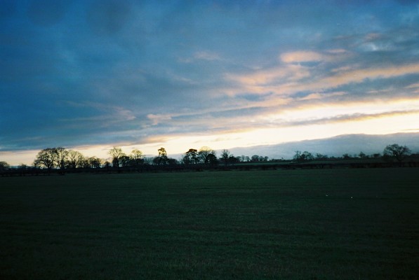
Rising to an elevation of approximately 450 meters (1,480 feet), Appleside Hill offers stunning panoramic views of the surrounding landscape. Its summit provides a vantage point from which visitors can marvel at the patchwork of lush green fields, rolling hills, and picturesque villages that typify the region.
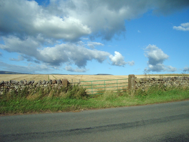
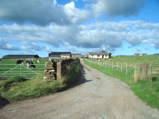
The hill takes its name from the abundance of apple orchards that once dotted its slopes, a testament to the area's agricultural heritage. The remnants of some of these orchards can still be seen today, adding to the charm and character of the hill.
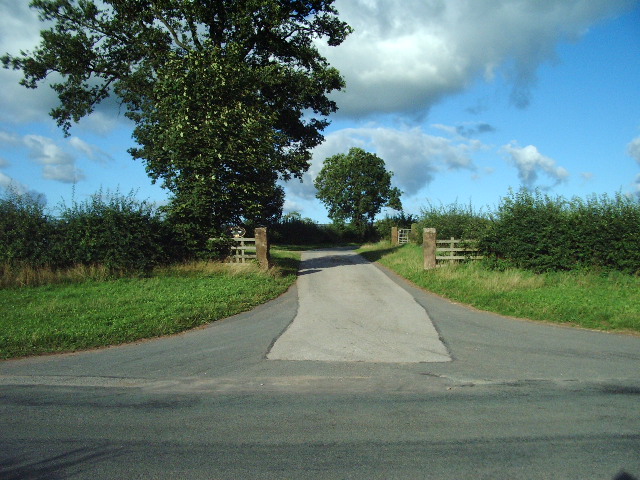
Appleside Hill is a popular destination for outdoor enthusiasts and nature lovers. The surrounding area offers a plethora of walking and hiking trails, ranging from gentle strolls to more challenging routes for experienced hikers. The diverse flora and fauna found in this region make it an ideal spot for wildlife enthusiasts and birdwatchers, with the possibility of spotting rare species such as red deer and peregrine falcons.
Visitors to Appleside Hill can also explore the nearby villages and towns, each with its own unique character and attractions. Cumberland's rich history and cultural heritage are reflected in the charming architecture, traditional pubs, and local festivals that can be found throughout the area.
Overall, Appleside Hill is a captivating destination that showcases the natural beauty and charm of Cumberland, attracting visitors from far and wide to experience its scenic vistas and explore the surrounding countryside.
If you have any feedback on the listing, please let us know in the comments section below.
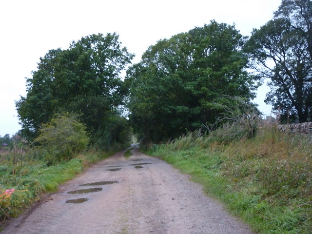
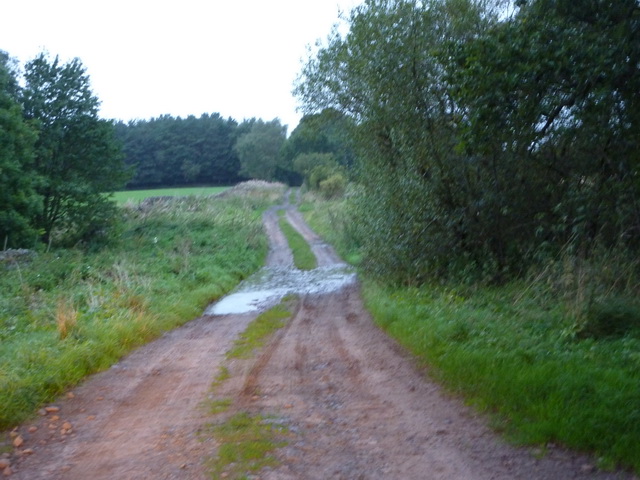
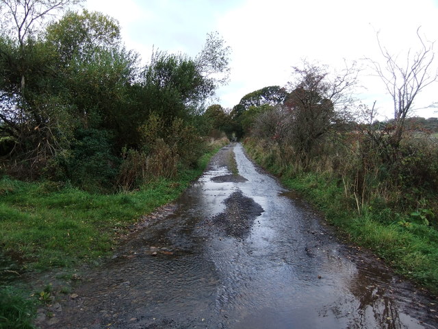
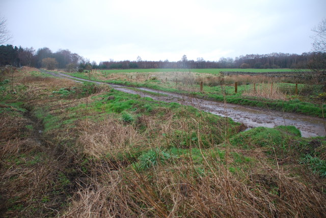
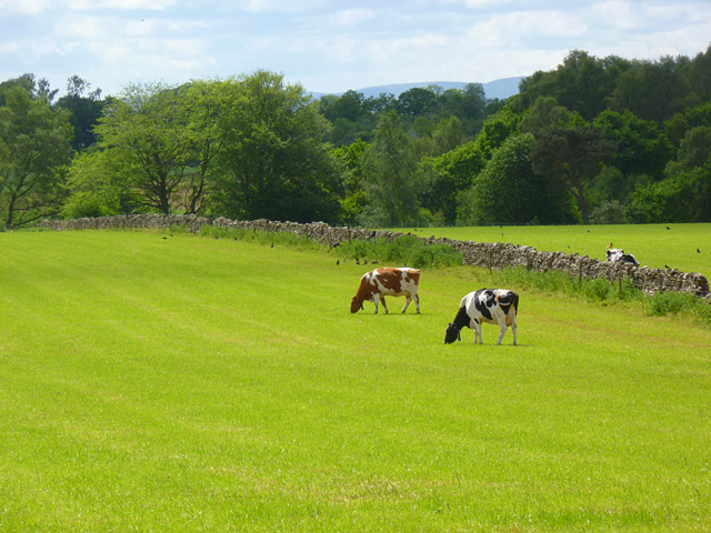
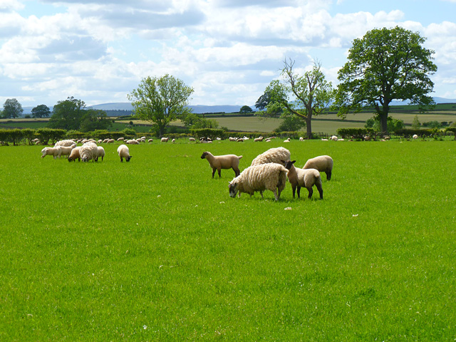
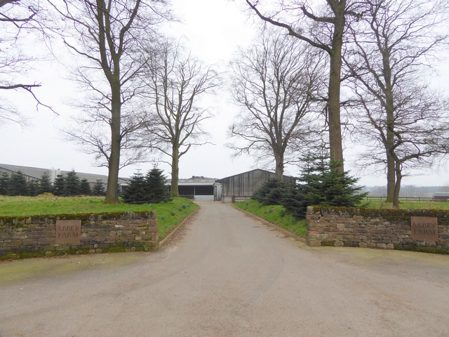
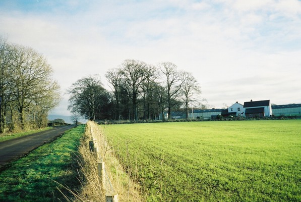
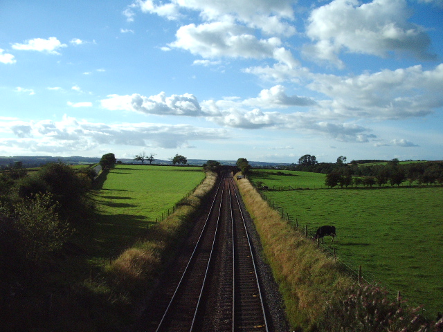
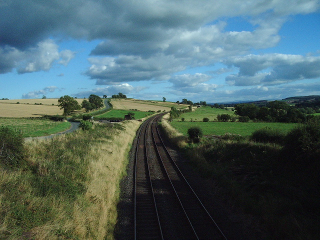
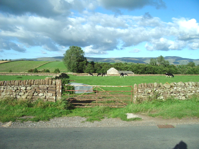
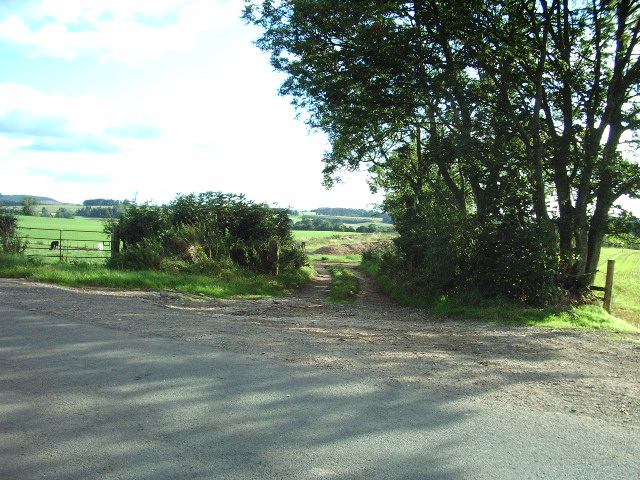
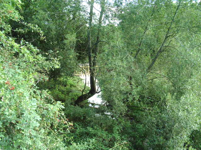
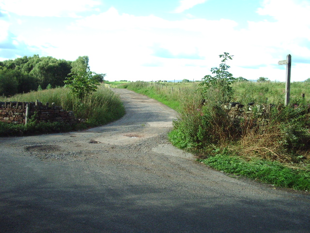
Appleside Hill Images
Images are sourced within 2km of 54.683043/-2.6331294 or Grid Reference NY5932. Thanks to Geograph Open Source API. All images are credited.
Appleside Hill is located at Grid Ref: NY5932 (Lat: 54.683043, Lng: -2.6331294)
Administrative County: Cumbria
District: Eden
Police Authority: Cumbria
What 3 Words
///emulating.kind.speedily. Near Penrith, Cumbria
Nearby Locations
Related Wikis

River Eamont
The River Eamont is a river in Cumbria, England and one of the major tributaries of the River Eden. The name of the river is from Old English (ēa-gemōt...

Skirwith Abbey
Skirwith Abbey is a country house in Skirwith, Cumbria, England. The House is a two-storey house of five by three bays, built by Thomas Addison, mason...

Langwathby railway station
Langwathby is a railway station on the Settle and Carlisle Line, which runs between Carlisle and Leeds via Settle. The station, situated 19 miles 59 chains...

Skirwith
Skirwith is a village and former civil parish, now in the parish of Culgaith, in the Eden district, in the county of Cumbria, England. In 1931 the parish...

St Cuthbert's Church, Edenhall
St Cuthbert's Church is located near the village of Edenhall, Cumbria, England. It is an active Anglican parish church in the deanery of Penrith, the...
Edenhall
Edenhall is a clustered village and former civil parish, now in the south-west of the parish of Langwathby, 800m to the north in the Westmorland and Furness...

Langwathby
Langwathby is a village and civil parish in northern Cumbria, and in the historic English county of Cumberland, about 5 miles (8 km) north east of Penrith...

Culgaith
Culgaith is a village and civil parish in the Eden district of Cumbria, England. It is located on the River Eden, between Temple Sowerby and Langwathby...
Nearby Amenities
Located within 500m of 54.683043,-2.6331294Have you been to Appleside Hill?
Leave your review of Appleside Hill below (or comments, questions and feedback).