Pinglemoor Plantation
Wood, Forest in Cumberland Eden
England
Pinglemoor Plantation
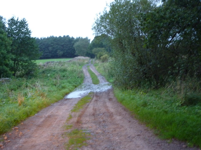
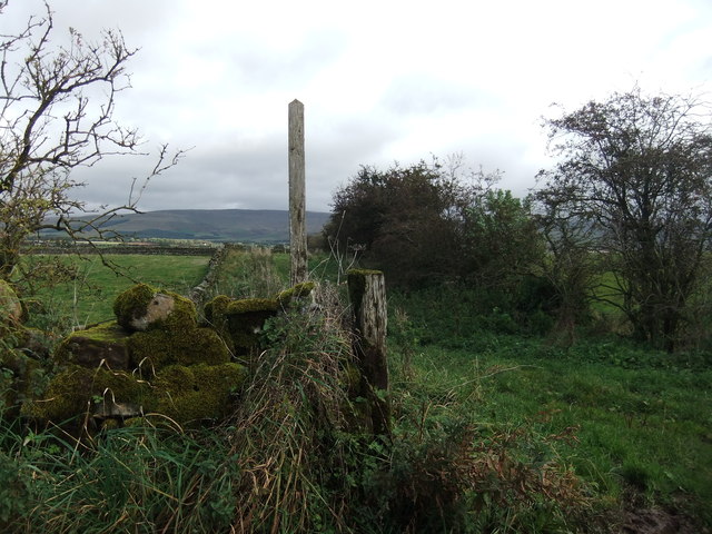
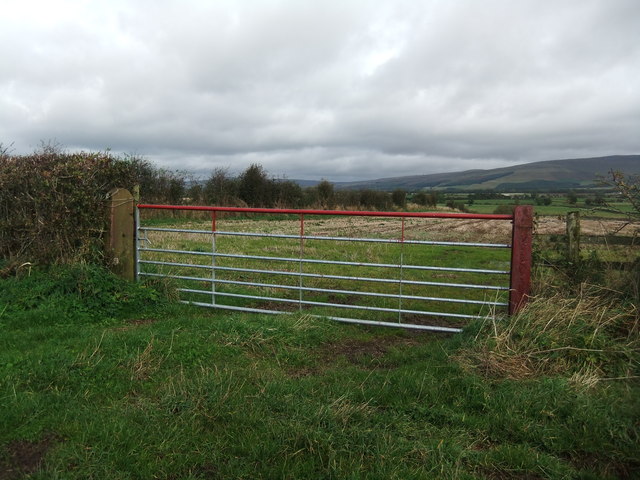
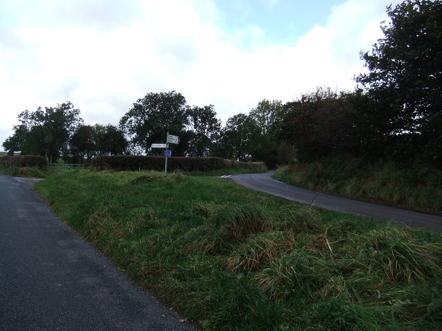
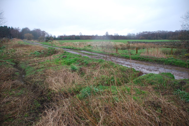
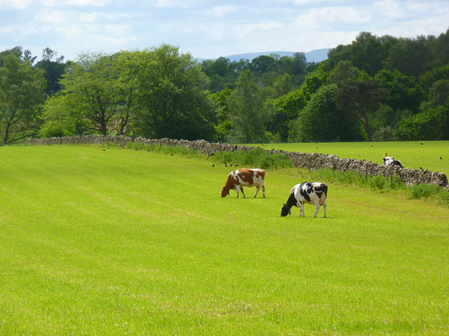
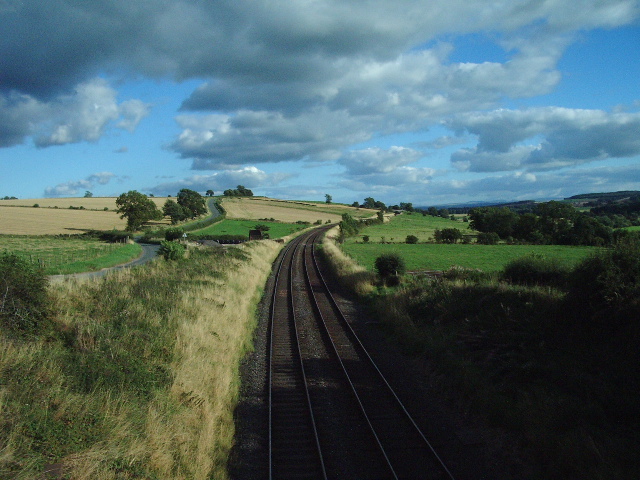
Pinglemoor Plantation is a woodland area located in Cumberland, a county in the north of England. Spanning over several acres, this plantation is known for its rich and diverse range of flora and fauna. The area is predominantly covered by a mixture of deciduous and coniferous trees, creating a picturesque and serene environment.
The plantation is home to a variety of tree species, including oak, birch, beech, and pine trees. These trees provide a habitat for numerous bird species, such as woodpeckers, owls, and songbirds, making it a popular destination for birdwatchers. The undergrowth consists of ferns, mosses, and wildflowers, adding to the natural beauty of the woodland.
Traversing through Pinglemoor Plantation, visitors can explore a network of walking trails that wind their way through the forest. These trails offer an opportunity to immerse oneself in nature, enjoy peaceful walks, or engage in activities such as jogging or cycling.
The plantation also serves as an important conservation area, with efforts made to protect and preserve the local wildlife and plant species. Environmental organizations and local authorities work together to maintain the delicate balance of the ecosystem and ensure the sustainability of the woodland.
Pinglemoor Plantation offers a tranquil escape from the hustle and bustle of urban life, providing visitors with a chance to connect with nature and enjoy the beauty of the Cumberland countryside.
If you have any feedback on the listing, please let us know in the comments section below.
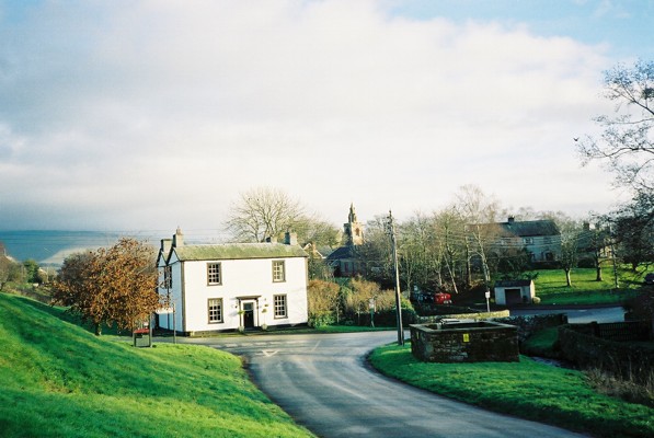
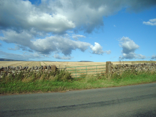
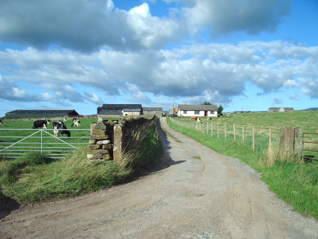
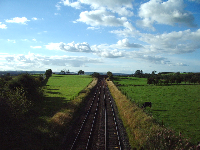
Pinglemoor Plantation Images
Images are sourced within 2km of 54.689348/-2.6287289 or Grid Reference NY5932. Thanks to Geograph Open Source API. All images are credited.


Pinglemoor Plantation is located at Grid Ref: NY5932 (Lat: 54.689348, Lng: -2.6287289)
Administrative County: Cumbria
District: Eden
Police Authority: Cumbria
What 3 Words
///flexed.cracks.indulges. Near Penrith, Cumbria
Nearby Locations
Related Wikis

Skirwith
Skirwith is a village and former civil parish, now in the parish of Culgaith, in the Eden district, in the county of Cumbria, England. In 1931 the parish...

Skirwith Abbey
Skirwith Abbey is a country house in Skirwith, Cumbria, England. The House is a two-storey house of five by three bays, built by Thomas Addison, mason...

Langwathby railway station
Langwathby is a railway station on the Settle and Carlisle Line, which runs between Carlisle and Leeds via Settle. The station, situated 19 miles 59 chains...

River Eamont
The River Eamont is a river in Cumbria, England and one of the major tributaries of the River Eden. The name of the river is from Old English (ēa-gemōt...

Langwathby
Langwathby is a village and civil parish in northern Cumbria, and in the historic English county of Cumberland, about 5 miles (8 km) north east of Penrith...

St Cuthbert's Church, Edenhall
St Cuthbert's Church is located near the village of Edenhall, Cumbria, England. It is an active Anglican parish church in the deanery of Penrith, the...
Edenhall
Edenhall is a clustered village and former civil parish, now in the south-west of the parish of Langwathby, 800m to the north in the Westmorland and Furness...

Hunsonby
Hunsonby is a village and civil parish in the Eden district of Cumbria, England, 7 miles (11 km) north east of Penrith. The parish is located 28 miles...
Have you been to Pinglemoor Plantation?
Leave your review of Pinglemoor Plantation below (or comments, questions and feedback).