Crag Bank

Hill, Mountain in Roxburghshire

Scotland

Crag Bank

Forestry road, Wigg Plantation
Forestry road, Wigg Plantation Credit: Steven Brown

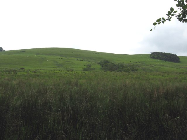
Crag Bank is a prominent hill located in the county of Roxburghshire, in the Scottish Borders region of Scotland. It is situated near the town of Jedburgh, approximately 10 miles south of the border with England. With an elevation of approximately 300 meters (984 feet), it offers commanding views of the surrounding countryside.

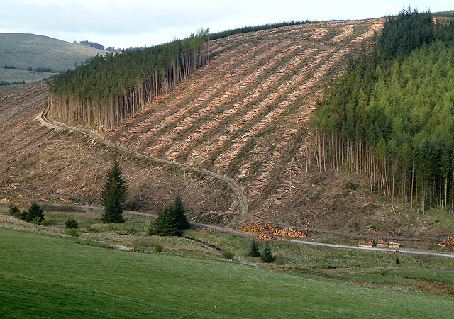
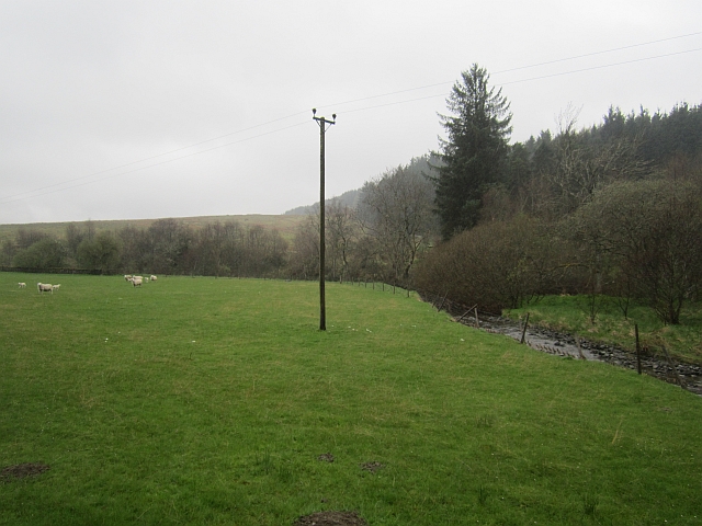
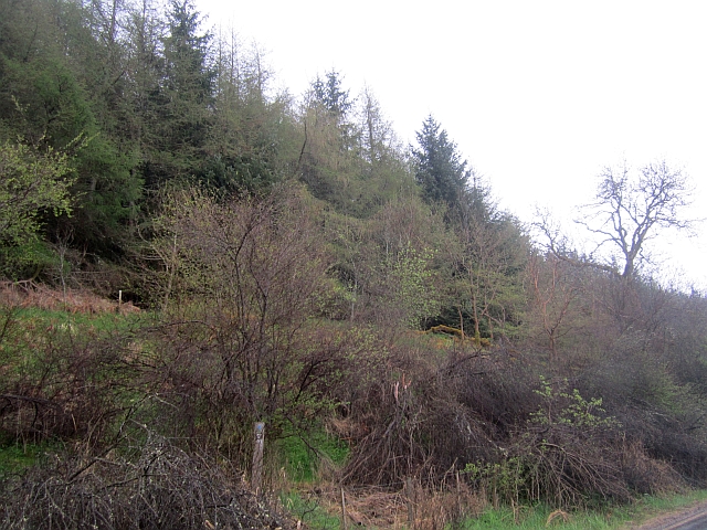
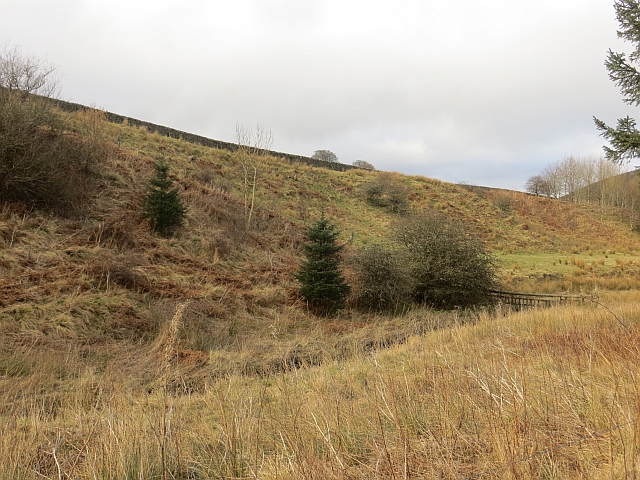
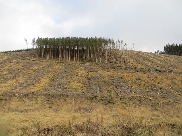
Covered in a mix of heather and grass, Crag Bank is a popular destination for hikers and outdoor enthusiasts seeking scenic walks and breathtaking vistas. The hill's gentle slopes make it accessible to a wide range of fitness levels, attracting both experienced climbers and casual walkers alike.

The summit of Crag Bank offers panoramic views of the Cheviot Hills to the south and the Eildon Hills to the northwest, providing visitors with a stunning backdrop to their outdoor adventures. On clear days, the view can stretch as far as the English Lake District, adding to the allure of this picturesque location.

The hill is home to a variety of wildlife, including birds such as kestrels and pheasants, as well as the occasional sighting of deer and hares. The surrounding area is also rich in historical and cultural significance, with nearby attractions including Jedburgh Abbey and Mary Queen of Scots House.

Whether you are seeking a challenging hike or a peaceful stroll in nature, Crag Bank in Roxburghshire offers a captivating experience for visitors of all interests and abilities.

If you have any feedback on the listing, please let us know in the comments section below.
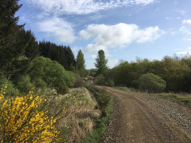
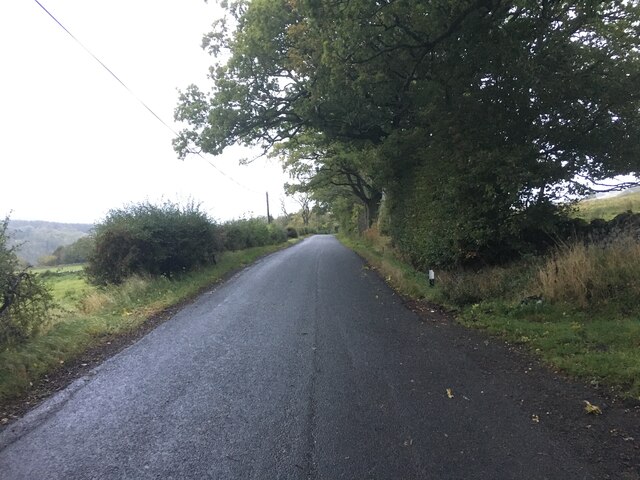
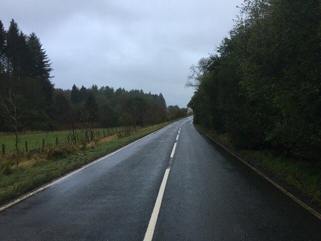
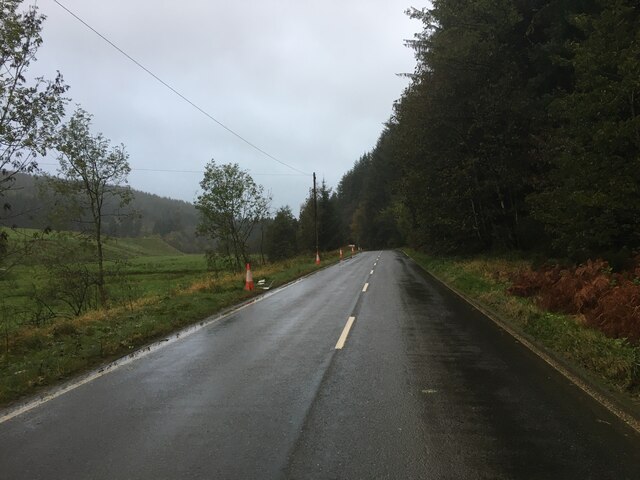
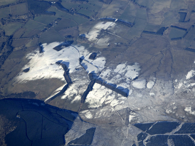
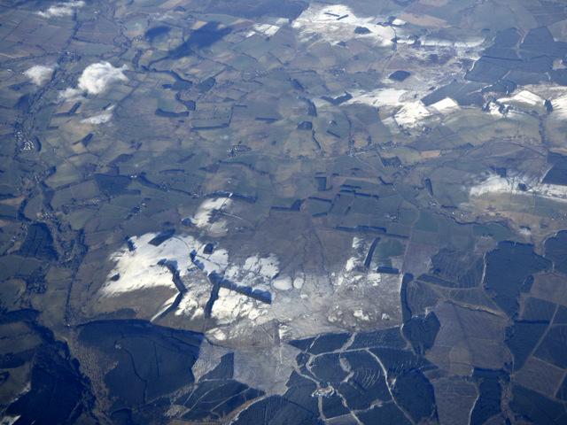
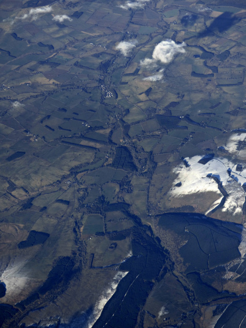
Crag Bank Images

Images are sourced within 2km of 55.359718/-2.6441253 or Grid Reference NT5907. Thanks to Geograph Open Source API. All images are credited.

Forestry road, Wigg Plantation
B6357 towards Bonchester Bridge
B6357 near Hyndlee
B6357 near Hyndlee
Wolfelee Hill from the air The distinctive strip woods make this hill easy to identify from the air.
Wolfelee Hill from the air
The distinctive strip woods make this hill easy to identify from the air.
Wolfelee Hill from the air Wolfelee Hill is in the foreground.

See also <a href="https://www.geograph.org.uk/photo/5679322">NT6007 : Wolfelee Hill from the air</a>.
Wolfelee Hill from the air
Wolfelee Hill is in the foreground. See also NT6007 : Wolfelee Hill from the air.
Wolfelee from the air Bonchester Bridge can be seen in the distance, Wolfelee Hill is in the right foreground.
Wolfelee from the air
Bonchester Bridge can be seen in the distance, Wolfelee Hill is in the right foreground.
Timber harvesting on Brockie Law This was viewed from the B6357.
Timber harvesting on Brockie Law
This was viewed from the B6357.
Grazing lands on Wolflee Hill In Roxburghshire.
Grazing lands on Wolflee Hill
In Roxburghshire.
Hyndlee Burn A field beside the Hyndlee Burn. Cheap point hunters will have to stop and get out here, the road stays stubbonly east of the grid line.  
The area is mostly forested.
Hyndlee Burn
A field beside the Hyndlee Burn. Cheap point hunters will have to stop and get out here, the road stays stubbonly east of the grid line. The area is mostly forested.
Cragbank Woods National Nature Reserve Tail end of a steep slope clad in ancient deciduous woodland. There is an encroachment by the usual "weeds" above, but the wood is somewhat thicker further north.
Cragbank Woods National Nature Reserve
Tail end of a steep slope clad in ancient deciduous woodland. There is an encroachment by the usual "weeds" above, but the wood is somewhat thicker further north.
Hyndlee Burn
Hyndlee Burn
Clump of trees, Brockie Law Leftovers from the clear fell on this slope. <a href="https://www.geograph.org.uk/photo/2948084">NT5905 : Timber harvesting on Brockie Law</a>
Clump of trees, Brockie Law
Leftovers from the clear fell on this slope. NT5905 : Timber harvesting on Brockie Law
Clear fell, Hyndlee
Clear fell, Hyndlee
Clear felled slope, Hyndlee Wauchope Forest seen from the Bonchester Bridge to Newcastleton road.
Clear felled slope, Hyndlee
Wauchope Forest seen from the Bonchester Bridge to Newcastleton road.
Hyndlee Burn
Hyndlee Burn
Haugh beside the Hyndlee Burn A flat area which has been left alone for many years. No longer used for agriculture and not planted by the Forestry.
Haugh beside the Hyndlee Burn
A flat area which has been left alone for many years. No longer used for agriculture and not planted by the Forestry.
Field under Wolfelee Hill Rashy ground beside the B6357.
Field under Wolfelee Hill
Rashy ground beside the B6357.
Show me another place!

Crag Bank is located at Grid Ref: NT5907 (Lat: 55.359718, Lng: -2.6441253)

Unitary Authority: The Scottish Borders

Police Authority: The Lothians and Scottish Borders

What 3 Words

///havens.clashes.ethic. Near Hawick, Scottish Borders

Related Wikis

Wauchope, Scottish Borders

Wauchope is a hamlet in the Scottish Borders council area of Scotland, near Southdean. Wauchope House was demolished in 1932. == See also == Wauchope Forest...

Hobkirk

Hobkirk (Scottish Gaelic: Eaglais Ruail) is a village and civil parish in the Scottish Borders area of Scotland, by the Rule Water, south-west of Jedburgh...

Southdean

Southdean is a hamlet in the Scottish Borders area of Scotland, on the A6088, by the Jed Water and in the Wauchope Forest area. Other settlements nearby...

Wauchope Forest

Wauchope Forest is a forest on the Rule Water, in the Scottish Borders area of Scotland, south of Hawick, and including the A6088, the A68 and the B6357...

Nearby Amenities

Located within 500m of 55.359718,-2.6441253
Bench
Lat/Long: 55.3568704/-2.6492959
Natural: peak
Lat/Long: 55.3595264/-2.6434506
Give Way
Direction: forward
Lat/Long: 55.3564705/-2.6484118
Power: pole
Lat/Long: 55.3616314/-2.6509959
Power: pole
Lat/Long: 55.3609862/-2.6507389
Power: pole
Lat/Long: 55.3603714/-2.6505047
Power: pole
Lat/Long: 55.3597464/-2.6502604
Power: pole
Lat/Long: 55.3590072/-2.6498863
Power: pole
Lat/Long: 55.358265/-2.6494943
Power: pole
Lat/Long: 55.3575431/-2.6491049
Power: pole
Lat/Long: 55.3567763/-2.648713
Power: pole
Lat/Long: 55.3565173/-2.6486875
Power: pole
Lat/Long: 55.3561325/-2.6486392
The data included in this document is from www.openstreetmap.org. The data is made available under ODbL.

Have you been to Crag Bank?

Leave your review of Crag Bank below (or comments, questions and feedback).