Back Hill

Hill, Mountain in Roxburghshire

Scotland

Back Hill

A gravestone at Longnewton Burial Ground This grand stone in the small burial ground is for the Blackie family and is inscribed as follows:

This ston is
Sacred to the Memory of
John Blackie, mason, late
Farmer in Ancrum Mill who
Died 31st May 1772 Aged 66 years
Margrat Riddel his Spouse
Died 9th April 1786 Aged 70 years
Francis Blackie his son died
25th January 1746 Aged 3 yr
Andrew Blackie his Son died
14th June 1747 Aged 5 Months
A gravestone at Longnewton Burial Ground Credit: Walter Baxter

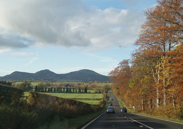
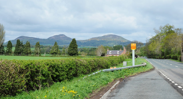
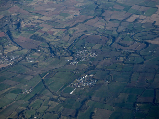
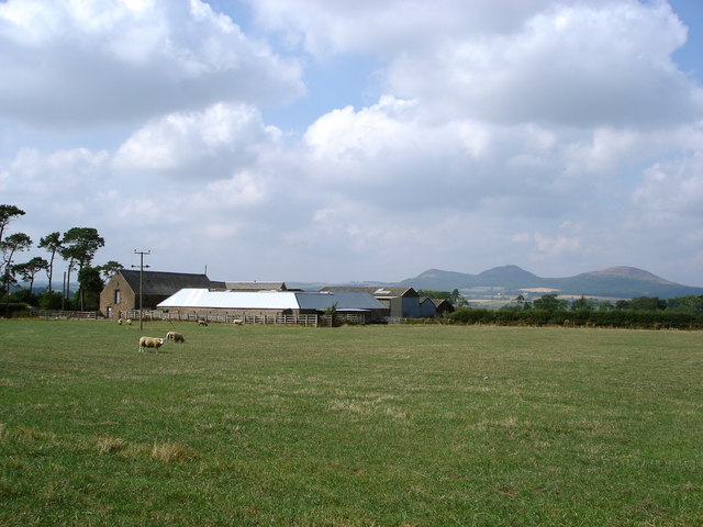
Back Hill is a prominent hill located in the county of Roxburghshire, Scotland. Situated in the southern part of the country, it forms part of the picturesque landscape of the Scottish Borders region. Back Hill stands at an elevation of approximately 368 meters (1,207 feet) above sea level, making it a notable feature in the local topography.

The hill offers stunning panoramic views of the surrounding countryside, with its slopes covered in a mixture of heather and grasses. Its distinct shape and gentle incline make it a popular destination for hikers and nature enthusiasts. The summit provides an excellent vantage point for visitors to admire the rolling hills, lush valleys, and nearby waterways that characterize the region.

Back Hill is also home to a diverse range of flora and fauna, showcasing the natural biodiversity of the area. The hillside supports a variety of plant species, including heather, gorse, and bracken, while the surrounding woodlands provide a habitat for birds, small mammals, and occasionally deer.

Accessible by foot or by following designated trails, Back Hill offers a peaceful and serene setting for outdoor activities such as walking, hiking, and birdwatching. Its close proximity to nearby towns and villages allows visitors to easily combine their exploration of nature with a taste of local Scottish culture. Whether it is admiring the breathtaking views or immersing oneself in the tranquility of the natural surroundings, Back Hill is a destination that captivates both locals and tourists alike.

If you have any feedback on the listing, please let us know in the comments section below.
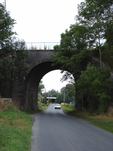
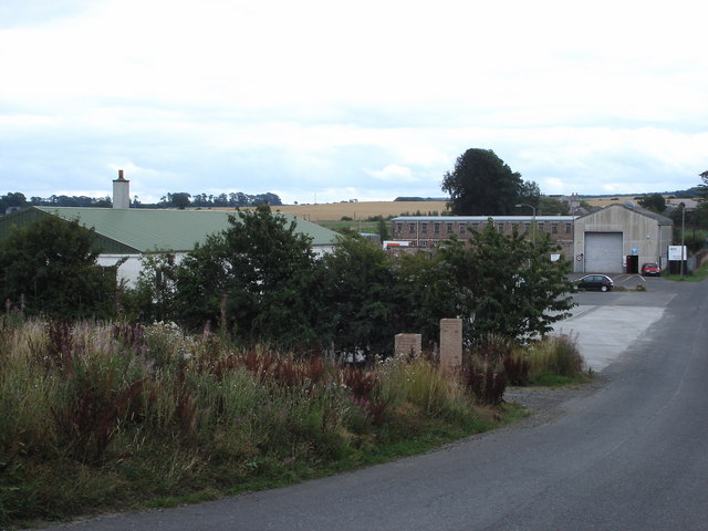
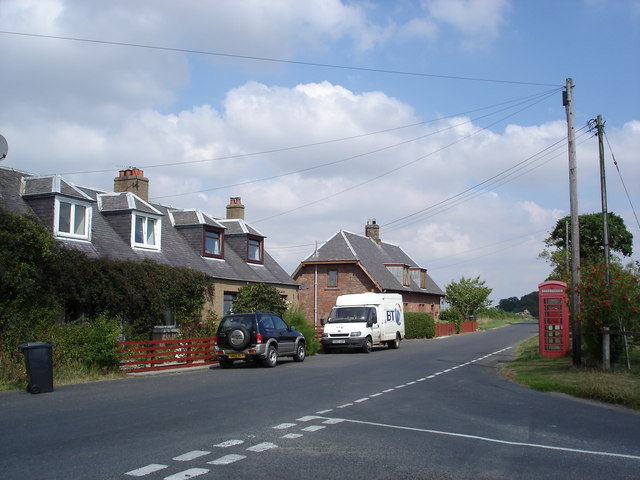
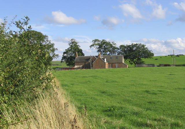
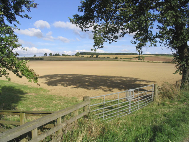
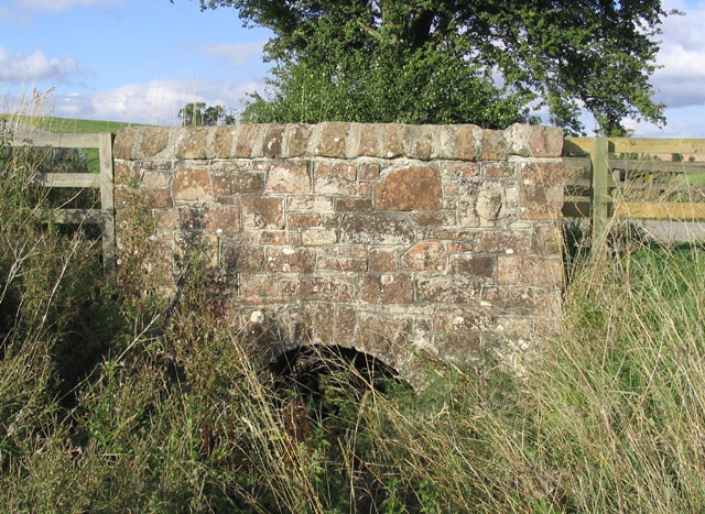
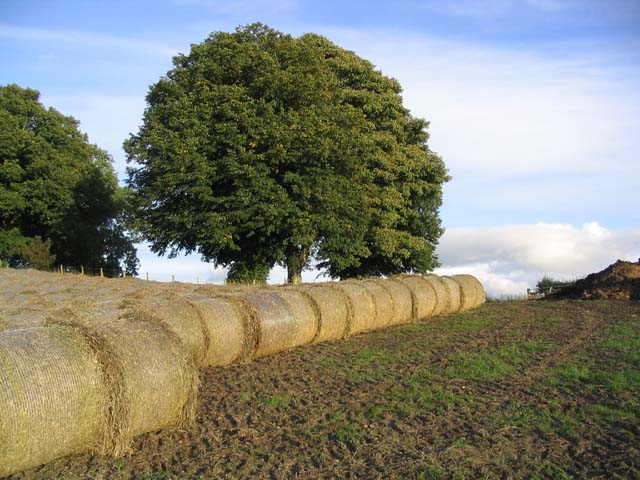
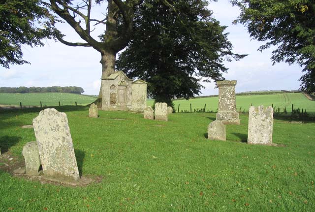
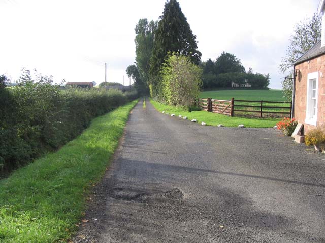
Back Hill Images

Images are sourced within 2km of 55.547417/-2.6515349 or Grid Reference NT5828. Thanks to Geograph Open Source API. All images are credited.

A gravestone at Longnewton Burial Ground This grand stone in the small burial ground is for the Blackie family and is inscribed as follows:

This ston is
Sacred to the Memory of
John Blackie, mason, late
Farmer in Ancrum Mill who
Died 31st May 1772 Aged 66 years
Margrat Riddel his Spouse
Died 9th April 1786 Aged 70 years
Francis Blackie his son died
25th January 1746 Aged 3 yr
Andrew Blackie his Son died
14th June 1747 Aged 5 Months
A gravestone at Longnewton Burial Ground
This grand stone in the small burial ground is for the Blackie family and is inscribed as follows: This ston is Sacred to the Memory of John Blackie, mason, late Farmer in Ancrum Mill who Died 31st May 1772 Aged 66 years Margrat Riddel his Spouse Died 9th April 1786 Aged 70 years Francis Blackie his son died 25th January 1746 Aged 3 yr Andrew Blackie his Son died 14th June 1747 Aged 5 Months
"The Street"  on A68
"The Street" on A68
Tractor turning Home made sign near Greenend.
Tractor turning
Home made sign near Greenend.
Lay-by, road and camera Along a stretch of the A68 approaching St. Boswells where the road is known as The Street.
The Eildon Hills in the distance.
Lay-by, road and camera
Along a stretch of the A68 approaching St. Boswells where the road is known as The Street. The Eildon Hills in the distance.
Charlesfield from the air Charlesfield industrial estate is in the foreground with Newton St Boswells and St Boswells on the banks of the Tweed beyond.
Charlesfield from the air
Charlesfield industrial estate is in the foreground with Newton St Boswells and St Boswells on the banks of the Tweed beyond.
Charlesfield Industrial Estate
A68 Following the course of Dere Street, a Roman road. The road crosses a spur - reentrant system and has a series of dips and crests. There are speed cameras here.
A68
Following the course of Dere Street, a Roman road. The road crosses a spur - reentrant system and has a series of dips and crests. There are speed cameras here.
Crossroads, Hiltonshill A68, following the course of Dere Street.
Crossroads, Hiltonshill
A68, following the course of Dere Street.
Bridge on former Waverley Route south of St Boswells Looking towards Thornielaw Farm through arch.
Bridge on former Waverley Route south of St Boswells
Looking towards Thornielaw Farm through arch.
Part of Charlesfield Industrial Estate The building to the right of the picture is the Goods Vehicle Testing Station. The long building to the left of that is one of the few remaining buildings from the sites former use for military purposes in WW 2.
Part of Charlesfield Industrial Estate
The building to the right of the picture is the Goods Vehicle Testing Station. The long building to the left of that is one of the few remaining buildings from the sites former use for military purposes in WW 2.
Longnewton Off A68 south of St Boswells
Longnewton
Off A68 south of St Boswells
Wellrig Farm Eildon Hills in the background
Wellrig Farm
Eildon Hills in the background
Cottage near Sandystones Farm
Arable land at Sandystones Farm
Road bridge near Sandystones This small attractive stone built bridge spans the Sandystones Burn
Road bridge near Sandystones
This small attractive stone built bridge spans the Sandystones Burn
Bales ready for uplifting near Birseslees
An old burial ground at Longnewton This is a very small graveyard where some of the stones date back to the early 1700's
An old burial ground at Longnewton
This is a very small graveyard where some of the stones date back to the early 1700's
Access Driveway Viewed from the A68, this road leads to Hiltonshill and the Arthurshiel Rescue Centre.
Access Driveway
Viewed from the A68, this road leads to Hiltonshill and the Arthurshiel Rescue Centre.
Show me another place!

Back Hill is located at Grid Ref: NT5828 (Lat: 55.547417, Lng: -2.6515349)

Unitary Authority: The Scottish Borders

Police Authority: The Lothians and Scottish Borders

What 3 Words

///clip.stall.bland. Near Saint Boswells, Scottish Borders

Nearby Locations

Back Hill

Related Wikis

Charlesfield Halt railway station

Charlesfield Halt railway station served the village of Charlesfield, Melrose, Scotland, from 1942 to 1961 on the Waverley Route. == History == The station...

Greycrook

Greycrook is a village off the A68 and the A699 in the Scottish Borders, approximately 500 m (550 yd) south-east of St Boswells, and close to Dryburgh...

St Boswells

St Boswells (Scots: Bosels / Bosells; Scottish Gaelic: Cille Bhoisil [ˈçiʎəˈvɔʃɪl]) is a village on the south side of the River Tweed in the Scottish Borders...
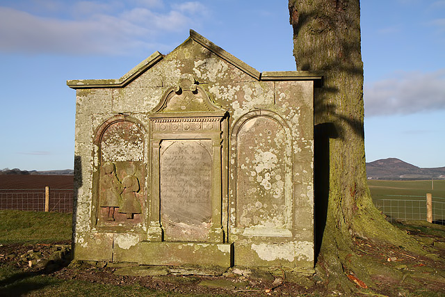
Monteath Mausoleum

The Monteath Mausoleum is a large landmark in the Scottish Borders near the village of Ancrum. The listed building can be seen from the A68 road just north...

Nearby Amenities

Located within 500m of 55.547417,-2.6515349
Back Hill
Natural: peak
Lat/Long: 55.546723/-2.6552988
Power: pole
Lat/Long: 55.5451036/-2.6578066
Power: pole
Lat/Long: 55.5456723/-2.6566766
Power: pole
Lat/Long: 55.5462684/-2.6555058
Power: pole
Lat/Long: 55.5467104/-2.6546227
Power: pole
Lat/Long: 55.5471827/-2.6537115
Power: pole
Lat/Long: 55.5476535/-2.6527902
Power: pole
Lat/Long: 55.5481128/-2.6518791
Power: pole
Lat/Long: 55.5485764/-2.6509628
Power: pole
Lat/Long: 55.5478609/-2.6501484
Power: pole
Lat/Long: 55.5471194/-2.6493111
Power: pole
Lat/Long: 55.5467018/-2.6483643
Power: pole
Lat/Long: 55.5462526/-2.6473794
Power: pole
Lat/Long: 55.5458278/-2.6463944
Power: pole
Lat/Long: 55.54538/-2.6453967
Power: pole
Lat/Long: 55.5492978/-2.6517645
Power: pole
Lat/Long: 55.5500623/-2.6526324
Power: pole
Lat/Long: 55.5506525/-2.6528437
Power: pole
Lat/Long: 55.551142/-2.6535614
Power: pole
Lat/Long: 55.544326/-2.6571092
The data included in this document is from www.openstreetmap.org. The data is made available under ODbL.

Have you been to Back Hill?

Leave your review of Back Hill below (or comments, questions and feedback).