Shucknall Hill

Hill, Mountain in Herefordshire

England

Shucknall Hill

Yarkhill Church The church is dedicated to St John the Baptist. With exception of the west tower and the south doorway both of which are 13th century, the church was completely rebuilt in 1862 by Ainslie and Blashill.
Yarkhill Church Credit: Philip Halling

Shucknall Hill is a prominent natural landmark situated in the county of Herefordshire, England. It is classified as a hill, rather than a mountain, as it stands at an elevation of 266 meters (873 feet) above sea level. Located near the picturesque village of Shucknall, the hill offers breathtaking panoramic views of the surrounding countryside.

This scenic location is known for its diverse flora and fauna, attracting nature enthusiasts and hikers alike. The hill is covered in lush green grass and scattered with patches of woodland, providing a habitat for a variety of wildlife species. Visitors can spot indigenous birds, such as skylarks and kestrels, soaring through the skies, while rabbits and deer can be seen grazing peacefully in the fields.

Shucknall Hill also holds significant historical value. It is believed to have been used as a settlement during the Iron Age, with remnants of ancient fortifications still visible today. Archaeologists have uncovered traces of human activity, including pottery fragments and tools, indicating that this hill was once inhabited by early settlers.

For outdoor enthusiasts, Shucknall Hill offers several walking trails and footpaths, allowing visitors to explore its natural beauty at their own pace. With its tranquil atmosphere and breathtaking vistas, it is an ideal location for a peaceful retreat or a refreshing escape from the bustling city life.

Overall, Shucknall Hill in Herefordshire is a captivating destination that combines stunning natural landscapes, rich biodiversity, and a touch of history, making it a must-visit location for nature lovers and history enthusiasts alike.

If you have any feedback on the listing, please let us know in the comments section below.

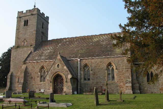
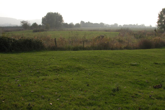
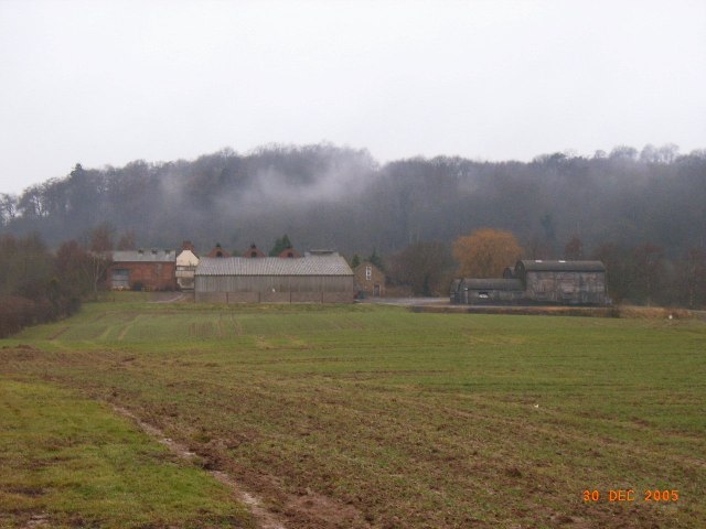
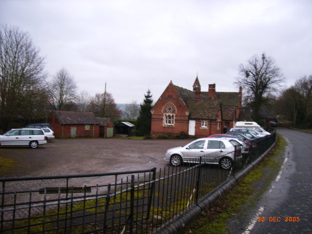
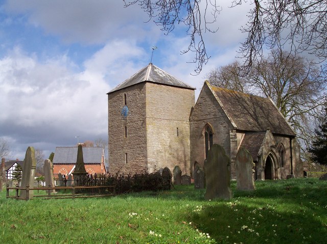
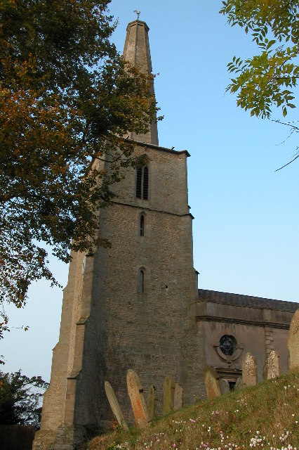
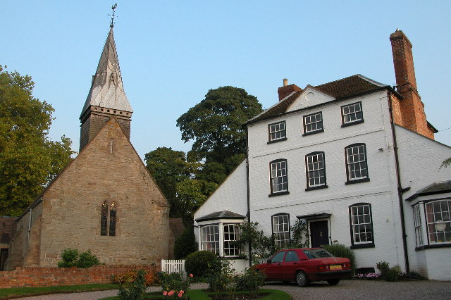
Shucknall Hill Images

Images are sourced within 2km of 52.084149/-2.5998072 or Grid Reference SO5843. Thanks to Geograph Open Source API. All images are credited.

Yarkhill Church The church is dedicated to St John the Baptist. With exception of the west tower and the south doorway both of which are 13th century, the church was completely rebuilt in 1862 by Ainslie and Blashill.
Yarkhill Church
The church is dedicated to St John the Baptist. With exception of the west tower and the south doorway both of which are 13th century, the church was completely rebuilt in 1862 by Ainslie and Blashill.
Moat at Yarkhill The land beyond the fence in the foreground is surrounded by a moat.  This is the site of a manor house. Artifacts have been found on this site dating back to the 11th and 12th centuries. In Herefordshire there are the remains some of 120 moats.
Moat at Yarkhill
The land beyond the fence in the foreground is surrounded by a moat. This is the site of a manor house. Artifacts have been found on this site dating back to the 11th and 12th centuries. In Herefordshire there are the remains some of 120 moats.
Woodmanton Farm Woodmanton Farm shown from field entrance near main Hereford to Worcester road
Woodmanton Farm
Woodmanton Farm shown from field entrance near main Hereford to Worcester road
Yarkhill Village Hall, Formerly Village School Yarkhill Village Hall, Formerly the village School, built in 1866
Yarkhill Village Hall, Formerly Village School
Yarkhill Village Hall, Formerly the village School, built in 1866
St John Baptist, Yarkhill Apart from the tower and south porch, all rebuilt in 1862 by Ainslie and Blashill of London. The sort of job which gave the Victorians a bad name.
St John Baptist, Yarkhill
Apart from the tower and south porch, all rebuilt in 1862 by Ainslie and Blashill of London. The sort of job which gave the Victorians a bad name.
St John Baptist, Yarkhill
Yarkhill - Barn By The Moat
Yarkhill Church - Viewed From The West
Yarkhill Church - Viewed From The South
Yarkhill Cottage
Yarkhill Cottage
Old And New Formations: A4103 A scheme to widen and ease the curvature of this truly dreadful 'A' road has left the old formation as an access road for local residents.
Old And New Formations: A4103
A scheme to widen and ease the curvature of this truly dreadful 'A' road has left the old formation as an access road for local residents.
A4103 Near White Hill
Turning for Monkhide This no through road crosses the Hereford and Gloucester canal on the most skewed bridge on the canal .
Turning for Monkhide
This no through road crosses the Hereford and Gloucester canal on the most skewed bridge on the canal .
Hereford to Worcester road at turning for Monkhide The minor road down to the famous skew bridge across the H&G canal is to the right. The buildings at Yarkhill wharf are at the bottom of the hill.
Hereford to Worcester road at turning for Monkhide
The minor road down to the famous skew bridge across the H&G canal is to the right. The buildings at Yarkhill wharf are at the bottom of the hill.
Post box on the old road This remnant of the old main road from Worcester to Hereford at Yarkhill now only has the farm and village hall (once the school).
Post box on the old road
This remnant of the old main road from Worcester to Hereford at Yarkhill now only has the farm and village hall (once the school).
Steep dip to Newtown The A4103 Hereford to Worcester a busy trunk roads heads down the deep dip before entering the village of Newtown which comes to a crossroads with the A417
Steep dip to Newtown
The A4103 Hereford to Worcester a busy trunk roads heads down the deep dip before entering the village of Newtown which comes to a crossroads with the A417
Leaving Shucknall towards Worcester A4103 heading out of Shucknall towards Worcester
Leaving Shucknall towards Worcester
A4103 heading out of Shucknall towards Worcester
Unrestricted at last After a couple of miles of 50s and 40s finally to the first unrestricted section of the main Hereford to Worcester Road heading out of Shucknall before reaching Newtown
Unrestricted at last
After a couple of miles of 50s and 40s finally to the first unrestricted section of the main Hereford to Worcester Road heading out of Shucknall before reaching Newtown
Show me another place!

Shucknall Hill is located at Grid Ref: SO5843 (Lat: 52.084149, Lng: -2.5998072)

Unitary Authority: County of Herefordshire

Police Authority: West Mercia

What 3 Words

///research.rosette.mailings. Near Withington, Herefordshire

Related Wikis

Westhide

Westhide is a village and civil parish in Herefordshire, England, 5+1⁄4 miles (8.4 km) north-east of Hereford. The parish had a population of 79 in the...

Yarkhill

Yarkhill is a village in Herefordshire, England located about 9 miles (14 km) from both Hereford and Ledbury. The village is Anglo-Saxon in origin and...

Weston Beggard

Weston Beggard is a small civil parish and hamlet in Herefordshire, England. It is located between the villages of Shucknall and Bartestree and lies approximately...

Stoke Edith

Stoke Edith is a village in the English county of Herefordshire, situated on the A438 road between Hereford and Ledbury. The population in 1801 of Stoke...

Withington railway station (Herefordshire)

Withington railway station was a station in Withington, Herefordshire, England. The station was opened in 1861 and closed in 1961 == References == ��2...

Withington, Herefordshire

Withington is a village and civil parish in Herefordshire, England, about 5 miles (8 km) north-east of Hereford at grid reference SO563431. == History... ==

Perton, Herefordshire

Perton is a hamlet in the English county of Herefordshire. It is in the civil parish of Stoke Edith being west of the village of that name. == External... ==

Dormington

Dormington is a village and civil parish in Herefordshire, in the West Midlands of England. Dormington village is at the north of its parish, 5 miles...

Nearby Amenities

Located within 500m of 52.084149,-2.5998072
Shucknall
Is In: Herefordshire,England,UK
Place: hamlet
Lat/Long: 52.0804572/-2.6031654
Power: pole
Lat/Long: 52.0801527/-2.6003661
Power: pole
Lat/Long: 52.0806381/-2.6006194
Power: pole
Lat/Long: 52.0811798/-2.6009113
Power: pole
Lat/Long: 52.0816986/-2.6011918
Power: pole
Lat/Long: 52.0821901/-2.6014593
Shucknall Hill
Power: pole
Transformer: distribution
Voltage Primary: 11000
Lat/Long: 52.0823589/-2.60276
Power: pole
Lat/Long: 52.0824592/-2.60187
Power: pole
Lat/Long: 52.0841905/-2.596837
Power: pole
Lat/Long: 52.0865268/-2.5955321
Power: pole
Lat/Long: 52.0847015/-2.5966693
Power: pole
Lat/Long: 52.0871613/-2.594993
Power: pole
Lat/Long: 52.0858766/-2.5960752
Power: pole
Lat/Long: 52.0853772/-2.5964561
Power: pole
Lat/Long: 52.0834278/-2.5973037
Quarry Cottage
Power: pole
Transformer: distribution
Voltage Primary: 11000
Lat/Long: 52.0837381/-2.5969832
Power: pole
Lat/Long: 52.0829172/-2.5978281
Power: pole
Lat/Long: 52.0821384/-2.5974834
Power: pole
Lat/Long: 52.0816431/-2.5963743
Power: pole
Lat/Long: 52.0806862/-2.5955227
Castle Farm West
Power: pole
Transformer: distribution
Voltage Primary: 11000
Lat/Long: 52.0813423/-2.5961282
The data included in this document is from www.openstreetmap.org. The data is made available under ODbL.

Have you been to Shucknall Hill?

Leave your review of Shucknall Hill below (or comments, questions and feedback).