Leys Hill

Hill, Mountain in Herefordshire

England

Leys Hill

Track and footpath Track and footpath at Kiln Green above the Wye valley.
Track and footpath Credit: Philip Halling

Leys Hill is a prominent geographical feature located in the county of Herefordshire, England. It is classified as a hill rather than a mountain, standing at an elevation of approximately 300 meters (984 feet) above sea level. The hill is situated in the western part of the county, near the border with Wales, and is part of the wider Malvern Hills Area of Outstanding Natural Beauty.

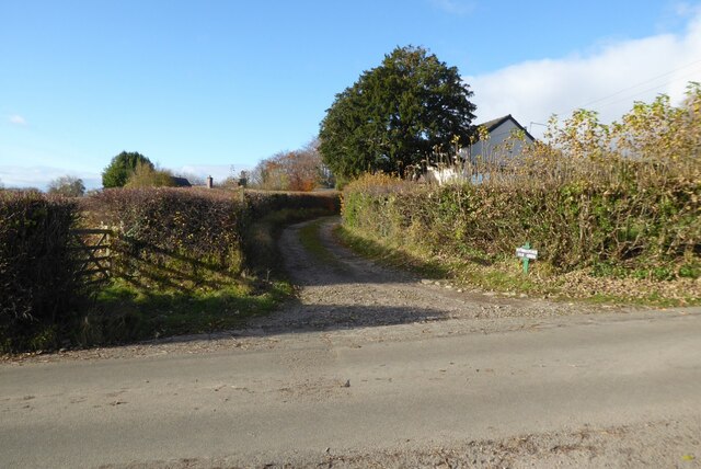
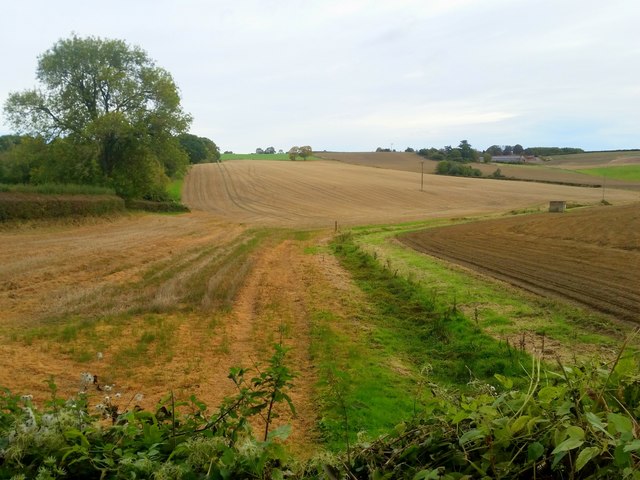
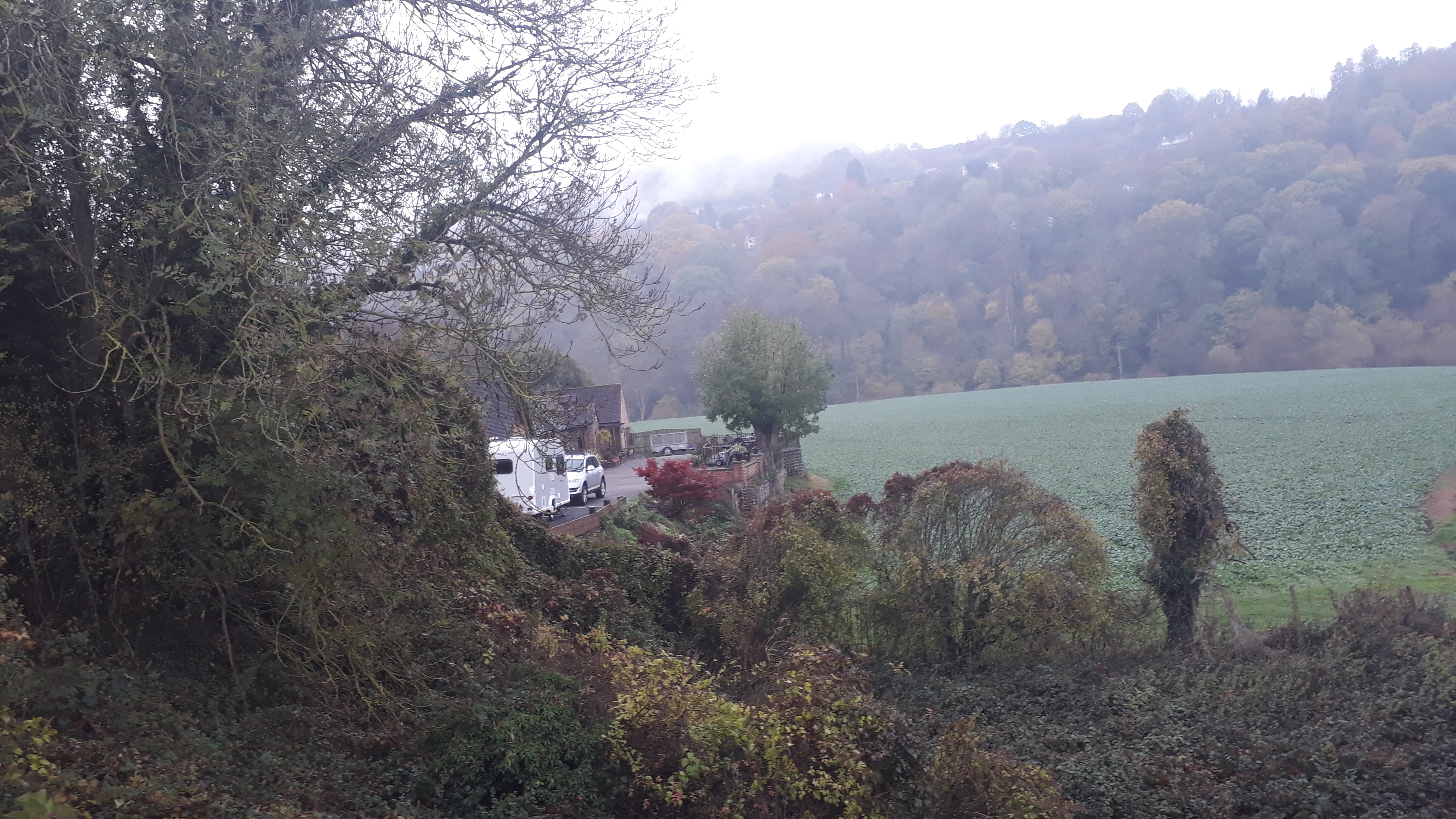
Leys Hill is characterized by its distinctive shape, with a gently sloping eastern side and a steeper western face. It is covered in lush green vegetation, including grasses, heather, and scattered trees, contributing to its picturesque appearance. The hill offers breathtaking panoramic views of the surrounding countryside, including the rolling hills of Herefordshire and the distant peaks of the Welsh mountains.

A popular destination for outdoor enthusiasts, Leys Hill attracts hikers, nature lovers, and photographers throughout the year. There are several well-marked trails that wind their way up the hill, providing both challenging hikes and leisurely walks for visitors of all abilities. The summit of Leys Hill offers a perfect vantage point to capture stunning vistas, particularly during sunrise and sunset.

In addition to its natural beauty, Leys Hill is also home to a diverse array of wildlife. The area supports a variety of bird species, including buzzards and kestrels, as well as small mammals like rabbits and foxes. The hill is also known for its rich plant life, with rare wildflowers and ferns found among the grassy slopes.

Overall, Leys Hill is a captivating destination that showcases the scenic beauty and biodiversity of Herefordshire's countryside, offering a tranquil escape for those seeking a connection with nature.

If you have any feedback on the listing, please let us know in the comments section below.

Leys Hill Images

Images are sourced within 2km of 51.872014/-2.597212 or Grid Reference SO5819. Thanks to Geograph Open Source API. All images are credited.

Track and footpath Track and footpath at Kiln Green above the Wye valley.
Track and footpath
Track and footpath at Kiln Green above the Wye valley.
South Herefordshire countryside Arable land near Kiln Green. A dry seasonal watercourse in the foreground.
South Herefordshire countryside
Arable land near Kiln Green. A dry seasonal watercourse in the foreground.
Kiln Green Rolling countryside viewed from near Great Howle farm on a cold crisp morning.
In the distance are The Skirrid and Sugarloaf, well over 20km distant.
Kiln Green
Rolling countryside viewed from near Great Howle farm on a cold crisp morning. In the distance are The Skirrid and Sugarloaf, well over 20km distant.
Arable field above Bishopswood The crop is fodder beet.
Arable field above Bishopswood
The crop is fodder beet.
Atlas Farm and The Dam An early morning view across late summer fields and woodland on the edge of Herefordshire and the Forest of Dean.
Atlas Farm and The Dam
An early morning view across late summer fields and woodland on the edge of Herefordshire and the Forest of Dean.
Rolling stubble land near Kiln Green The house centre right is The Dam.
Rolling stubble land near Kiln Green
The house centre right is The Dam.
Frost protection near Walford Goodrich Castle can be seen in the background on the far side of the River Wye.
Frost protection near Walford
Goodrich Castle can be seen in the background on the far side of the River Wye.
Walford church from lower Coppet Hill
Turning for Howie Hill
Approach to Walford
Approach to Walford
Outer Ward of Goodrich Castle The Outer Ward on the northern side of Goodrich Castle.
Outer Ward of Goodrich Castle
The Outer Ward on the northern side of Goodrich Castle.
Wye valley floor Viewed from the rear of The Mill Race. Walford Sawmills yard can be seen.
Wye valley floor
Viewed from the rear of The Mill Race. Walford Sawmills yard can be seen.
Footprints in the snow Outside the north wall of Goodrich Castle
Footprints in the snow
Outside the north wall of Goodrich Castle
North wall of Goodrich Castle
Road to the centre of the village, Coughton A minor road heads away from the B4234 in Walford, south Herefordshire.
Ahead is the central part of Coughton. Beyond Coughton are Howle Hill and Hope Mansell.
Road to the centre of the village, Coughton
A minor road heads away from the B4234 in Walford, south Herefordshire. Ahead is the central part of Coughton. Beyond Coughton are Howle Hill and Hope Mansell.
Grade II listed Priory Lea House, Walford Set back from the B4234, this early 19th century building is now divided into five flats. 
At the entrance is a pediment and tetrastyle Greek Doric portico.
Grade II listed in 1987 (as Walford House Hotel).
Grade II listed Priory Lea House, Walford
Set back from the B4234, this early 19th century building is now divided into five flats. At the entrance is a pediment and tetrastyle Greek Doric portico. Grade II listed in 1987 (as Walford House Hotel).
Cedar Grove, Walford  Viewed across the B4234 in south Herefordshire.
Cedar Grove, Walford
Viewed across the B4234 in south Herefordshire.
Fowbridge Gardens, Coughton Viewed from the edge of the B4234.
Fowbridge Gardens, Coughton
Viewed from the edge of the B4234.
Show me another place!

Leys Hill is located at Grid Ref: SO5819 (Lat: 51.872014, Lng: -2.597212)

Unitary Authority: County of Herefordshire

Police Authority: West Mercia

What 3 Words

///gushes.rungs.swooning. Near Walford, Herefordshire

Related Wikis

Kerne Bridge

Kerne Bridge is a hamlet in south Herefordshire, England, about 3.5 miles (6 km) south of the market town of Ross-on-Wye on the B4234 Ross-on-Wye to Coleford...

Kerne Bridge (River Wye crossing)

Kerne Bridge was built over the River Wye in the County of Herefordshire, England in 1825–28, on the site of an ancient ford crossing known as Flanesford...

Kerne Bridge railway station

Kerne Bridge railway station is a disused railway station on the Ross and Monmouth Railway constructed in the Herefordshire hamlet of Kerne Bridge which...

Walford, Ross-on-Wye

Walford is a village and civil parish in south Herefordshire, England, two miles south of the market town of Ross-on-Wye. It includes the settlements of...

Nearby Amenities

Located within 500m of 51.872014,-2.597212
Bus Stop
Saw Mills
Naptan AtcoCode: 2090A20089
Naptan Bearing: N
Naptan CommonName: Saw Mills
Naptan Indicator: adj
Naptan Landmark: Saw Mills
Naptan NaptanCode: heramwpd
Naptan Street: B4234
Naptan Verified: no
Source: naptan_import
Lat/Long: 51.8745497/-2.6025257
Bus Stop
Saw Mills
Naptan AtcoCode: 2090A20091
Naptan Bearing: S
Naptan BusStopType: CUS
Naptan CommonName: Saw Mills
Naptan Indicator: opp
Naptan Landmark: Saw Mills
Naptan NaptanCode: heramwpg
Naptan Street: B4234
Naptan Verified: no
Source: naptan_import
Lat/Long: 51.8745819/-2.6023047
Crossing
Lat/Long: 51.873287/-2.5957159
Barrier: stile
Foot: yes
Lat/Long: 51.8745413/-2.6025555
The data included in this document is from www.openstreetmap.org. The data is made available under ODbL.

Have you been to Leys Hill?

Leave your review of Leys Hill below (or comments, questions and feedback).