Allieshaw Rigg
Hill, Mountain in Cumberland Carlisle
England
Allieshaw Rigg
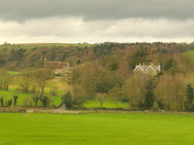
Allieshaw Rigg is a prominent hill located in the county of Cumberland, England. It forms part of the beautiful landscape of the Lake District National Park and is situated near the town of Keswick. Standing at an elevation of approximately 402 meters (1,319 feet), Allieshaw Rigg is classified as a hill rather than a mountain.
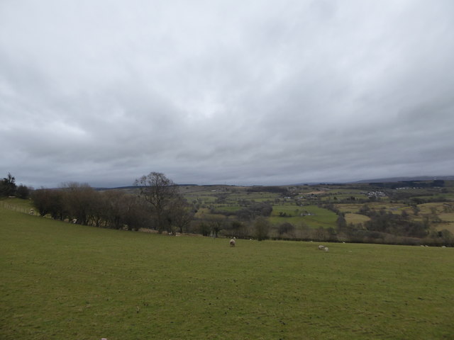
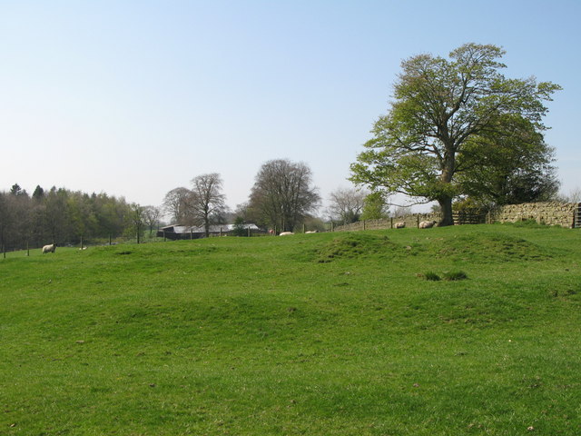
The hill offers breathtaking views of the surrounding countryside, with its slopes covered in lush green vegetation and dotted with occasional rocky outcrops. It is a popular destination for hikers and nature enthusiasts who are drawn to its natural beauty and tranquility. The ascent to the summit can be challenging, but it rewards visitors with panoramic vistas of the Lake District, including the nearby Bassenthwaite Lake.
Allieshaw Rigg is known for its diverse flora and fauna. The hill is home to a variety of plant species, including heather, grasses, and wildflowers, which create a vibrant and colorful landscape during the warmer months. It also provides a habitat for a range of bird species, including the red grouse, skylarks, and various birds of prey.
The hill is easily accessible by foot, with several well-marked trails leading to the summit. It is a popular spot for walkers, who often combine a visit to Allieshaw Rigg with exploring other nearby attractions, such as the picturesque town of Keswick or the famous Castlerigg Stone Circle.
Overall, Allieshaw Rigg offers visitors a chance to immerse themselves in the natural beauty of the Lake District, providing a peaceful and scenic escape from the hustle and bustle of everyday life.
If you have any feedback on the listing, please let us know in the comments section below.
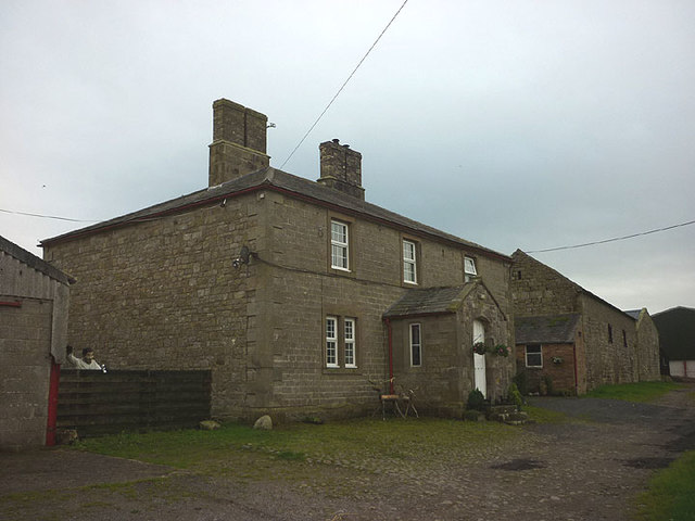
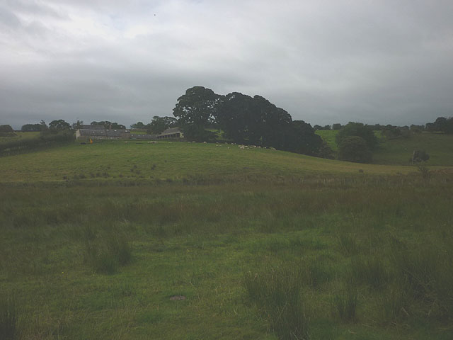
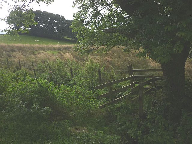
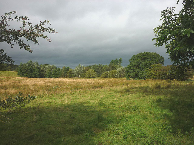
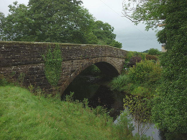
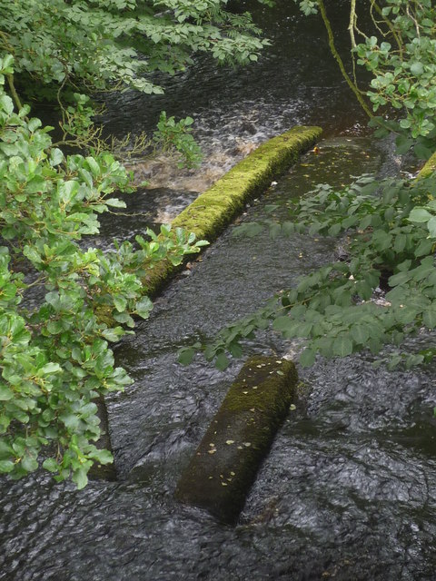
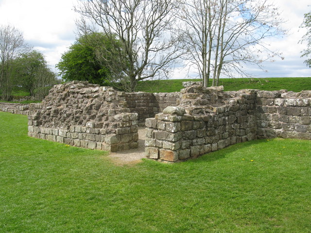
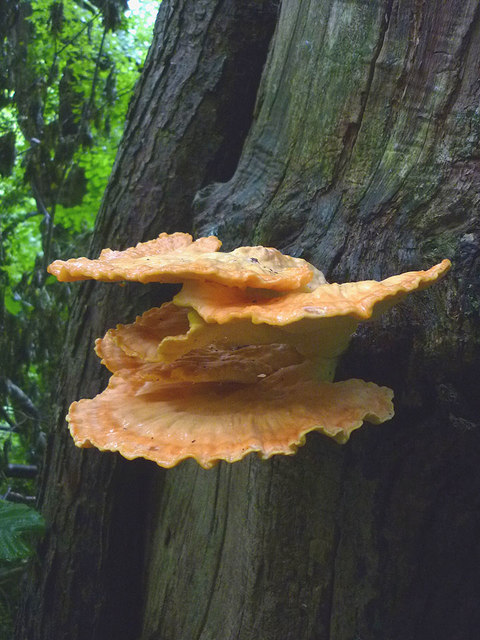
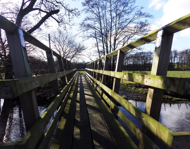
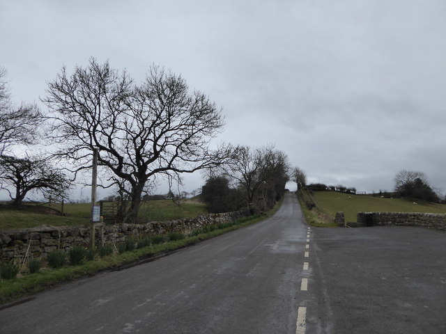
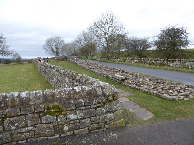
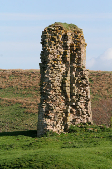
Allieshaw Rigg Images
Images are sourced within 2km of 54.986464/-2.6572602 or Grid Reference NY5865. Thanks to Geograph Open Source API. All images are credited.

Allieshaw Rigg is located at Grid Ref: NY5865 (Lat: 54.986464, Lng: -2.6572602)
Administrative County: Cumbria
District: Carlisle
Police Authority: Cumbria
What 3 Words
///friends.jammy.nearing. Near Brampton, Cumbria
Nearby Locations
Related Wikis
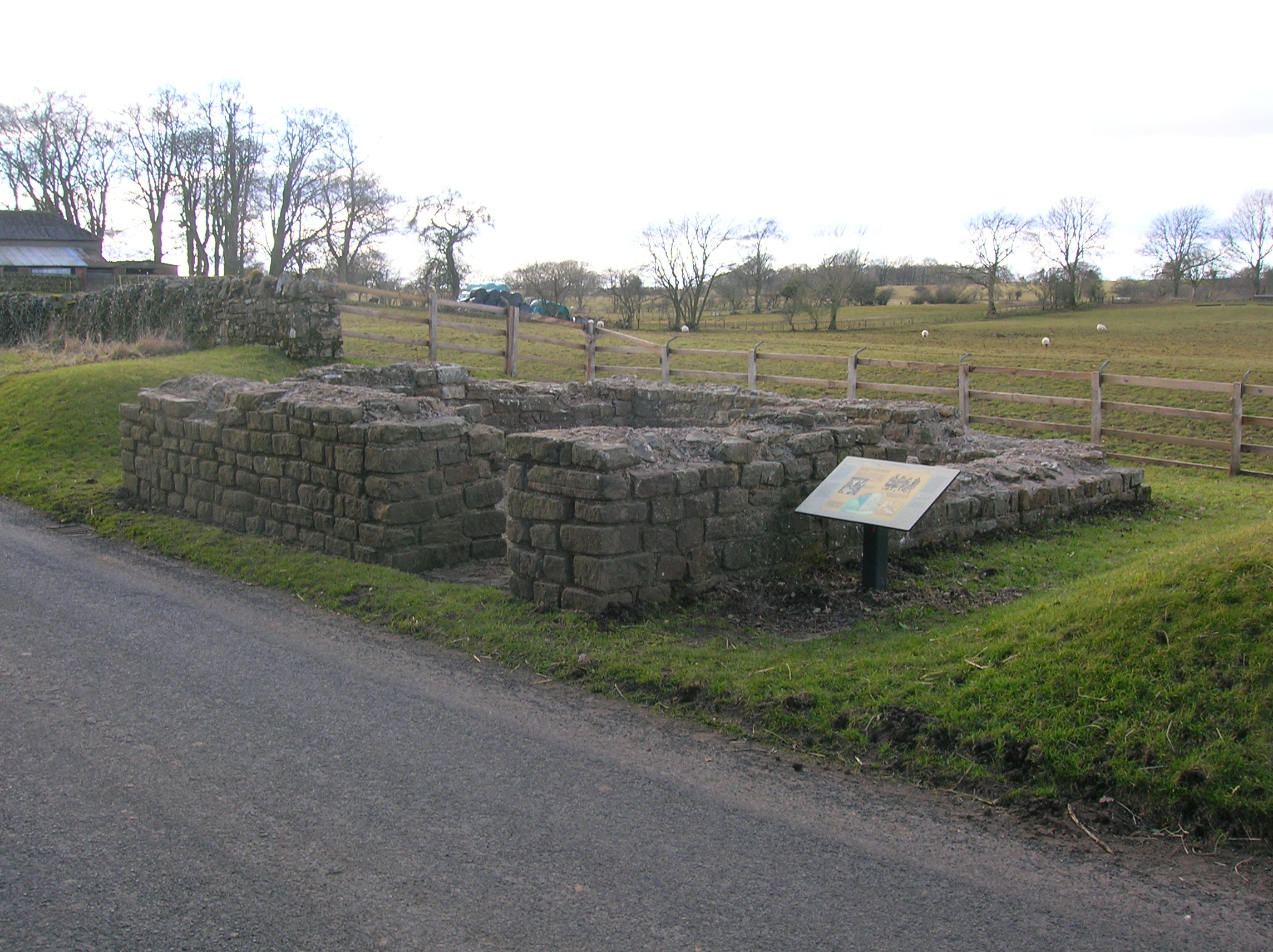
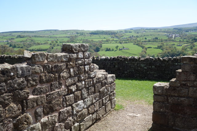
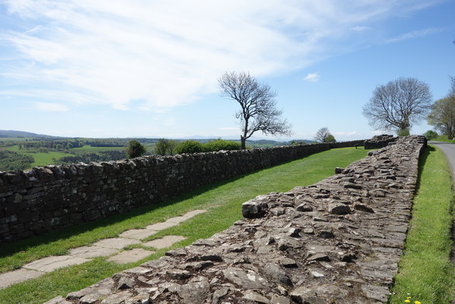
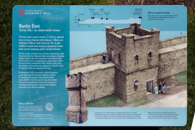
Leahill Turret, Hadrian's Wall
Leahill Turret is a typical example of one of the lookout towers located between the milecastles on Hadrian's Wall in Cumbria; located on the Lanercost...

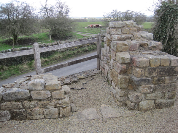
Milecastle 52
Milecastle 52 (Bankshead) was a milecastle on Hadrian's Wall (grid reference NY57946490). == Description == Milecastle 52 is west of Birdoswald fort. It...
Pike Hill Signal Tower
Pike Hill Signal Tower was one of a number of signal stations that were built on high ground overlooking the line of the Roman Stanegate road in northern...
Milecastle 51
Milecastle 51 (Wall Bowers) was a milecastle on Hadrian's Wall (grid reference NY59306549). == Description == Milecastle 51 is west of Birdoswald fort...
Triermain Castle
Triermain Castle was a castle near Brampton, Cumbria, England. Triermain, Cumbria (Trewermain, Treverman c 1200): 'homestead at the stone' (Welsh tre(f...

Banks, Cumbria
Banks is a village in Cumbria, England, astride the course of Hadrian's Wall, 3 mile (5 km) NE of the market town of Brampton. The historic Lanercost Priory...

Waterhead, Carlisle
Waterhead is a civil parish in Carlisle district, Cumbria, England. At the 2011 census it had a population of 130.The east and south boundaries of the...

Milecastle 53
Milecastle 53 (Banks Burn) was a milecastle on Hadrian's Wall (grid reference NY56486460). == Description == Milecastle 53 is west of the hamlet of Banks...
Nearby Amenities
Located within 500m of 54.986464,-2.6572602Have you been to Allieshaw Rigg?
Leave your review of Allieshaw Rigg below (or comments, questions and feedback).